Cargate Common

Settlement in Norfolk South Norfolk

England

Cargate Common

Low Common Lane Towards Bunwell Hill.
Low Common Lane Credit: Robin Webster

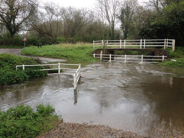
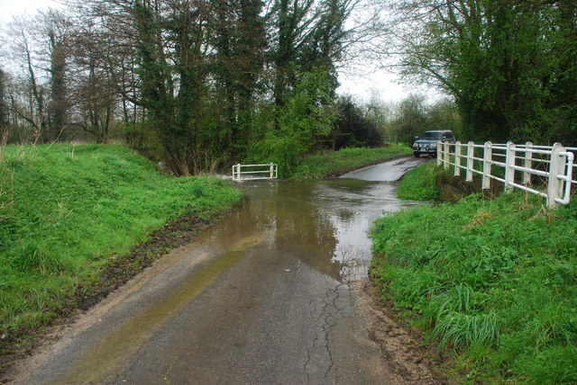
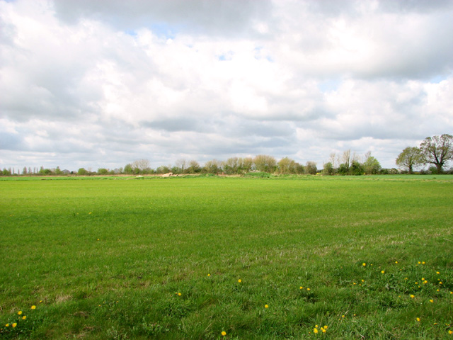
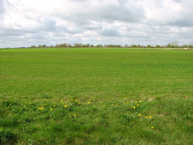
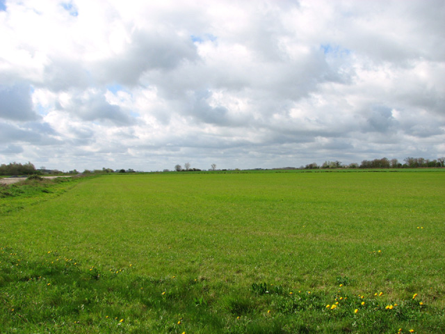
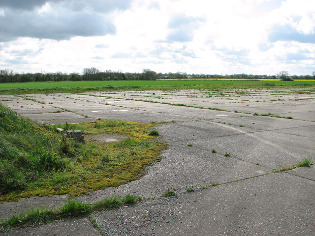
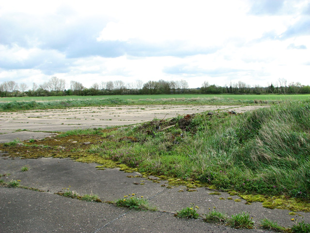
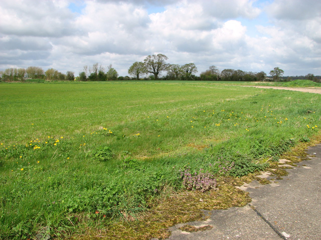
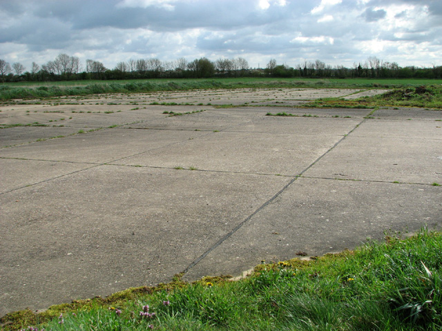
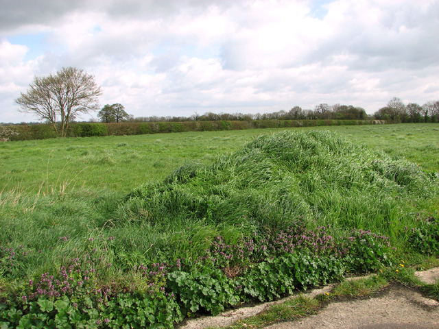
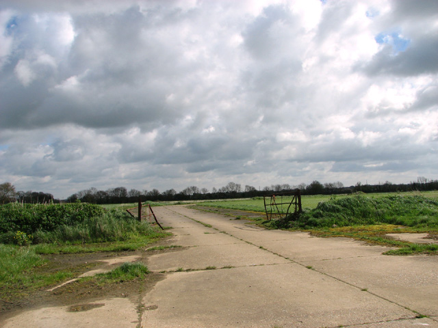
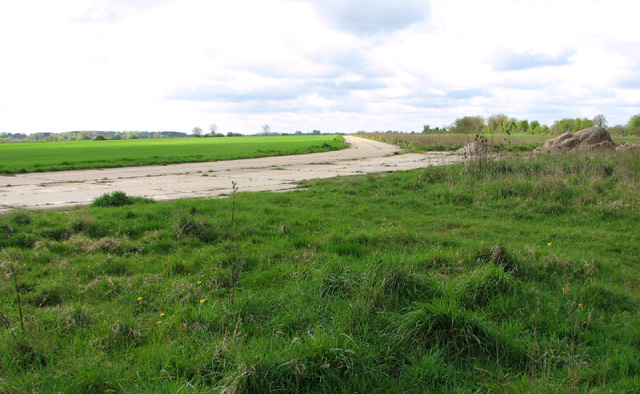
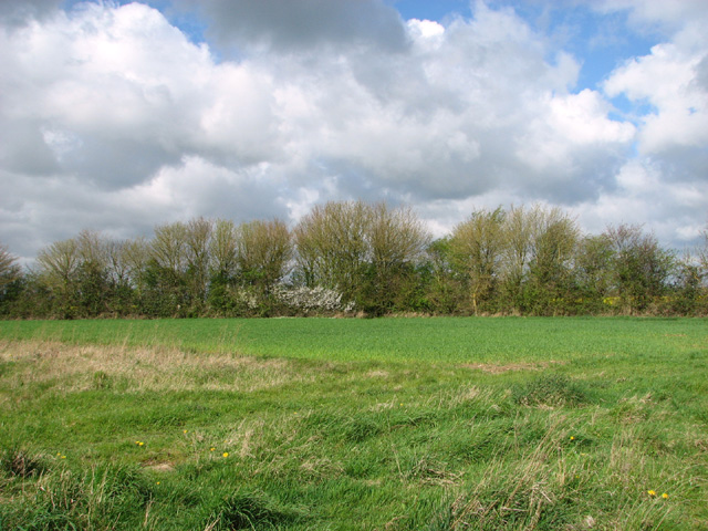
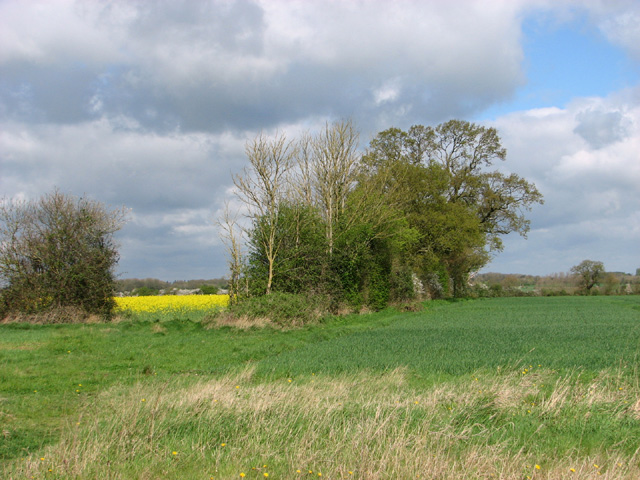
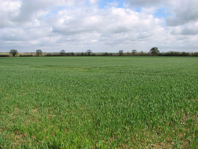
Cargate Common is a picturesque area located in Norfolk, England. Covering an area of approximately 250 acres, this common is known for its diverse range of flora and fauna, making it a popular destination for nature enthusiasts and wildlife observers.

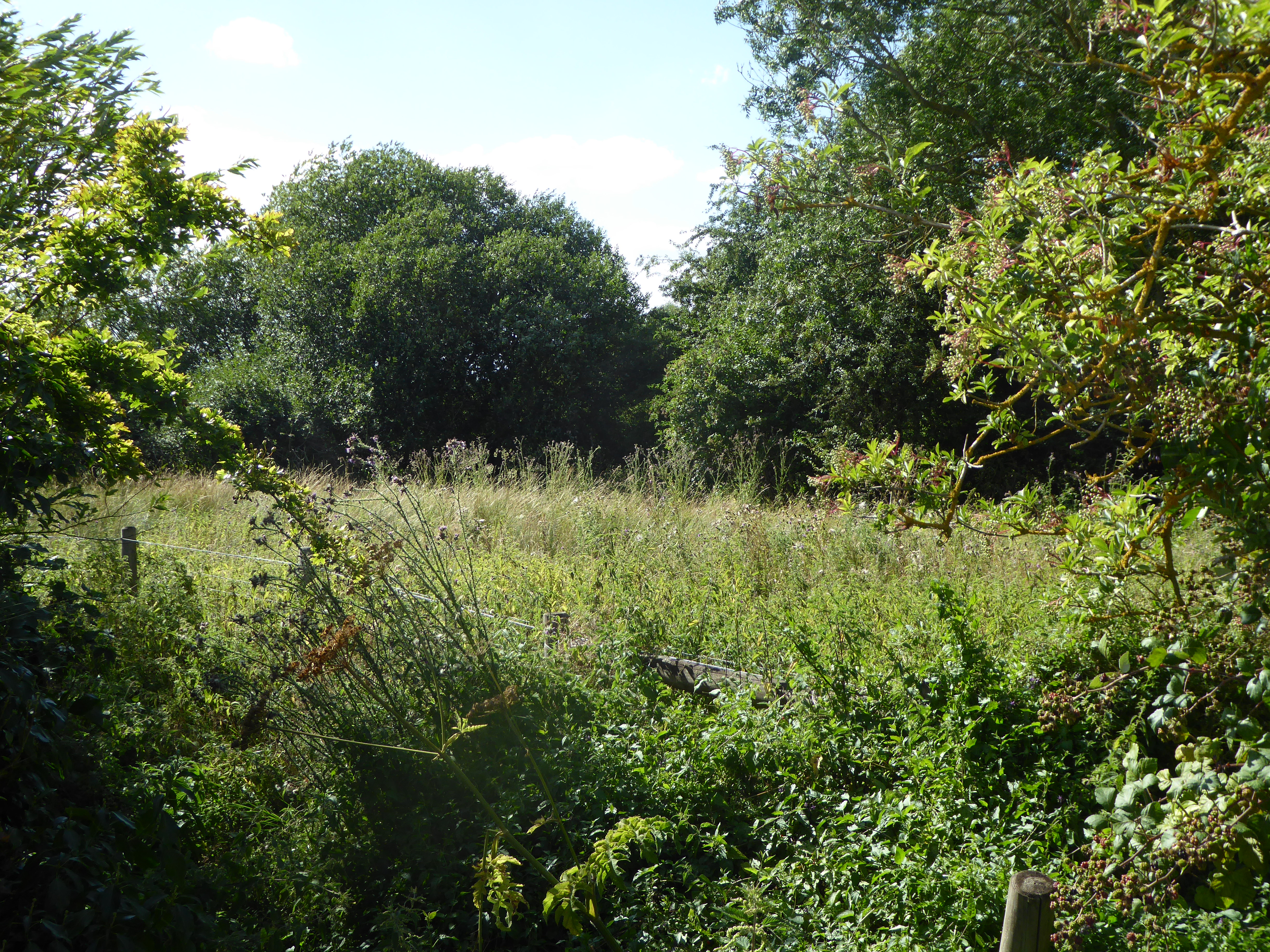
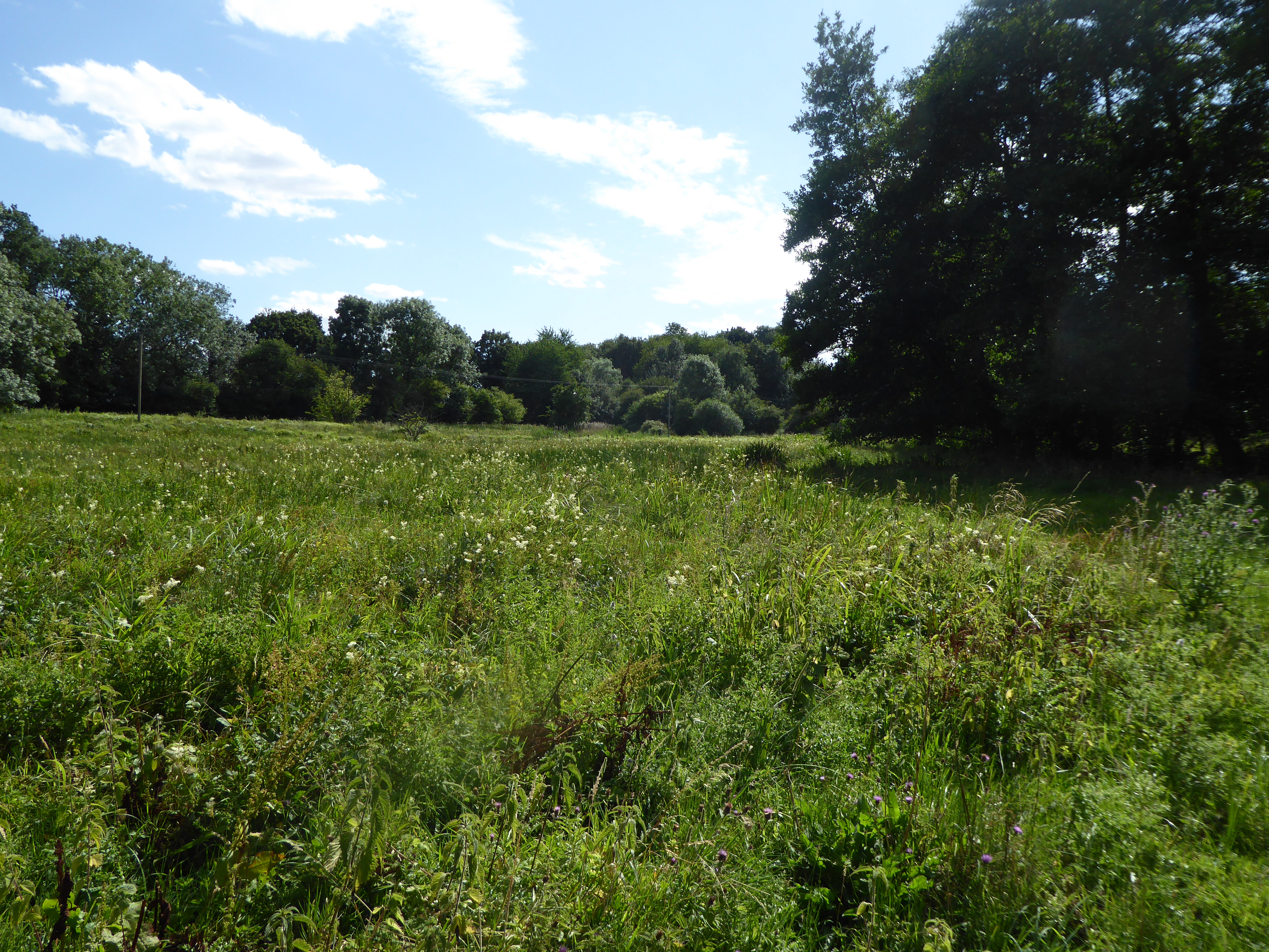
The common is characterized by its vast open spaces, meadows, and heathland. It is home to a variety of plant species, including heather, gorse, and bracken, which create a vibrant and colorful landscape throughout the year. The common also features a number of small ponds and marshes, providing a habitat for various species of birds, amphibians, and insects.

Visitors to Cargate Common can enjoy a peaceful and serene environment, perfect for leisurely walks, picnics, or simply appreciating the beauty of nature. The common offers several footpaths and trails, allowing visitors to explore its surroundings and discover its hidden treasures.

Additionally, Cargate Common has historical significance, with evidence of prehistoric settlements found in the area. Archaeological excavations have revealed artifacts dating back thousands of years, shedding light on the early human habitation in Norfolk.

Overall, Cargate Common is a natural gem nestled in the Norfolk countryside, offering a tranquil and scenic escape for those seeking a connection with nature and a glimpse into the region's past.

If you have any feedback on the listing, please let us know in the comments section below.

Cargate Common Images

Images are sourced within 2km of 52.472421/1.142086 or Grid Reference TM1390. Thanks to Geograph Open Source API. All images are credited.

Low Common Lane Towards Bunwell Hill.
Low Common Lane
Towards Bunwell Hill.
Bunwell Hill The name of the road as well as the settlement.
Bunwell Hill
The name of the road as well as the settlement.
Aslacton Ford This ford, in full flood following heavy April rain, is found on the junction of Bunwell Road and Steeple Lane just north of Aslacton.
Aslacton Ford
This ford, in full flood following heavy April rain, is found on the junction of Bunwell Road and Steeple Lane just north of Aslacton.
Gower's Farm Ford This ford on the River Tas is found on Hall Road on the way to Bunwell Hill. The ford is in flood following heavy April rain.
Gower's Farm Ford
This ford on the River Tas is found on Hall Road on the way to Bunwell Hill. The ford is in flood following heavy April rain.
Cereal crop near Tibenham
Cereal crop on the old Tibenham airfield This part of the old aerodrome has long since been returned to agriculture.
Cereal crop on the old Tibenham airfield
This part of the old aerodrome has long since been returned to agriculture.
Fields by Tibenham This part of the old aerodrome has long since been returned to agriculture. Tibenham is an ex-WWII airfield (constructed in 1942/43), located in South Norfolk, approx 7.5 miles from Diss and 15 miles from Norwich. The airfield is currently owned by the Norfolk Gliding Club and consists of three tarmac runways as well as plenty of landable grass areas.
Fields by Tibenham
This part of the old aerodrome has long since been returned to agriculture. Tibenham is an ex-WWII airfield (constructed in 1942/43), located in South Norfolk, approx 7.5 miles from Diss and 15 miles from Norwich. The airfield is currently owned by the Norfolk Gliding Club and consists of three tarmac runways as well as plenty of landable grass areas.
The end of a runway This is the northern end of the runway at Tibenham airfield.   This part of the old aerodrome has long since been returned to agriculture. Tibenham is an ex-WWII airfield (constructed in 1942/43), located in South Norfolk, approx 7.5 miles from Diss and 15 miles from Norwich. The airfield is currently owned by the Norfolk Gliding Club and consists of three tarmac runways as well as plenty of landable grass areas.
The end of a runway
This is the northern end of the runway at Tibenham airfield. This part of the old aerodrome has long since been returned to agriculture. Tibenham is an ex-WWII airfield (constructed in 1942/43), located in South Norfolk, approx 7.5 miles from Diss and 15 miles from Norwich. The airfield is currently owned by the Norfolk Gliding Club and consists of three tarmac runways as well as plenty of landable grass areas.
The former Tibenham aerodrome View across the northern end of the runway at Tibenham airfield. This part of the old aerodrome has long since been returned to agriculture. Tibenham is an ex-WWII airfield (constructed in 1942/43), located in South Norfolk, approx 7.5 miles from Diss and 15 miles from Norwich. The airfield is currently owned by the Norfolk Gliding Club and consists of three tarmac runways as well as plenty of landable grass areas.
The former Tibenham aerodrome
View across the northern end of the runway at Tibenham airfield. This part of the old aerodrome has long since been returned to agriculture. Tibenham is an ex-WWII airfield (constructed in 1942/43), located in South Norfolk, approx 7.5 miles from Diss and 15 miles from Norwich. The airfield is currently owned by the Norfolk Gliding Club and consists of three tarmac runways as well as plenty of landable grass areas.
Footpath skirting the northern edge of Tibenham aerodrome This part of the old aerodrome has long since been returned to agriculture. Tibenham is an ex-WWII airfield (constructed in 1942/43), located in South Norfolk, approx 7.5 miles from Diss and 15 miles from Norwich. The airfield is currently owned by the Norfolk Gliding Club and consists of three tarmac runways as well as plenty of landable grass areas.
Footpath skirting the northern edge of Tibenham aerodrome
This part of the old aerodrome has long since been returned to agriculture. Tibenham is an ex-WWII airfield (constructed in 1942/43), located in South Norfolk, approx 7.5 miles from Diss and 15 miles from Norwich. The airfield is currently owned by the Norfolk Gliding Club and consists of three tarmac runways as well as plenty of landable grass areas.
This is where the runway ends This is the northern end of the runway at Tibenham airfield. This part of the old aerodrome has long since been returned to agriculture. Tibenham is an ex-WWII airfield (constructed in 1942/43), located in South Norfolk, approx 7.5 miles from Diss and 15 miles from Norwich. The airfield is currently owned by the Norfolk Gliding Club and consists of three tarmac runways as well as plenty of landable grass areas.
This is where the runway ends
This is the northern end of the runway at Tibenham airfield. This part of the old aerodrome has long since been returned to agriculture. Tibenham is an ex-WWII airfield (constructed in 1942/43), located in South Norfolk, approx 7.5 miles from Diss and 15 miles from Norwich. The airfield is currently owned by the Norfolk Gliding Club and consists of three tarmac runways as well as plenty of landable grass areas.
Fields by Tibenham airfield This part of the old aerodrome has long since been returned to agriculture. Tibenham is an ex-WWII airfield (constructed in 1942/43), located in South Norfolk, approx 7.5 miles from Diss and 15 miles from Norwich. The airfield is currently owned by the Norfolk Gliding Club and consists of three tarmac runways as well as plenty of landable grass areas.
Fields by Tibenham airfield
This part of the old aerodrome has long since been returned to agriculture. Tibenham is an ex-WWII airfield (constructed in 1942/43), located in South Norfolk, approx 7.5 miles from Diss and 15 miles from Norwich. The airfield is currently owned by the Norfolk Gliding Club and consists of three tarmac runways as well as plenty of landable grass areas.
Disused service road on the old Tibenham aerodrome This part of the old aerodrome has long since been returned to agriculture. Tibenham is an ex-WWII airfield (constructed in 1942/43), located in South Norfolk, approx 7.5 miles from Diss and 15 miles from Norwich. The airfield is currently owned by the Norfolk Gliding Club and consists of three tarmac runways as well as plenty of landable grass areas.
Disused service road on the old Tibenham aerodrome
This part of the old aerodrome has long since been returned to agriculture. Tibenham is an ex-WWII airfield (constructed in 1942/43), located in South Norfolk, approx 7.5 miles from Diss and 15 miles from Norwich. The airfield is currently owned by the Norfolk Gliding Club and consists of three tarmac runways as well as plenty of landable grass areas.
View along the old service road This part of the old aerodrome has long since been returned to agriculture. Tibenham is an ex-WWII airfield (constructed in 1942/43), located in South Norfolk, approx 7.5 miles from Diss and 15 miles from Norwich. The airfield is currently owned by the Norfolk Gliding Club and consists of three tarmac runways as well as plenty of landable grass areas.
View along the old service road
This part of the old aerodrome has long since been returned to agriculture. Tibenham is an ex-WWII airfield (constructed in 1942/43), located in South Norfolk, approx 7.5 miles from Diss and 15 miles from Norwich. The airfield is currently owned by the Norfolk Gliding Club and consists of three tarmac runways as well as plenty of landable grass areas.
Field boundary by Hill Farm
Fields beside the footpath to Valley Farm
Wheat crop near Aslacton
Fields by Aslacton
Fields by Aslacton
Show me another place!

Cargate Common is located at Grid Ref: TM1390 (Lat: 52.472421, Lng: 1.142086)

Administrative County: Norfolk

District: South Norfolk

Police Authority: Norfolk

What 3 Words

///bond.sketching.swept. Near Long Stratton, Norfolk

Nearby Locations

Cargate Common

Related Wikis

Tibenham, Norfolk

Tibenham is a village and civil parish located in the Depwade district of South Norfolk, England. The parish is 2 miles (3.2 km) north west of Tivetshall...

Aslacton

Aslacton is a village and civil parish in the English county of Norfolk. It is situated between Norwich and Diss, and is near Great Moulton. The closest...
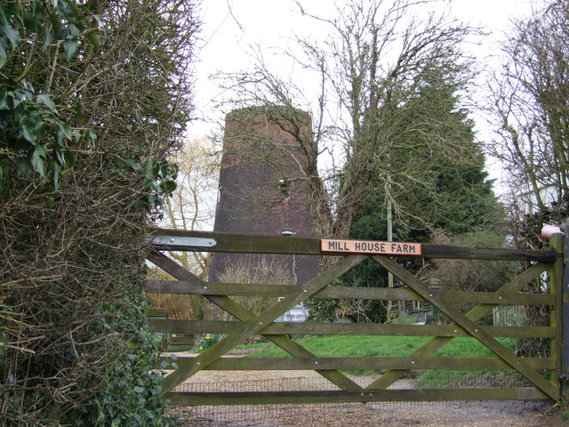
Aslacton Windmill

Aslacton Mill is a Grade II listed tower mill at Aslacton, Norfolk, England which is derelict. == History == Aslacton Mill was probably built in 1834,...

Aslacton Parish Land

Aslacton Parish Land is a 4.4-hectare (11-acre) biological Site of Special Scientific Interest west of Long Stratton in Norfolk.This site has wet and dry...

Carleton Rode

Carleton Rode is a village and civil parish in Norfolk, England. It is situated approximately five miles south-east of Attleborough. In the 2011 Census...

Great Moulton

Great Moulton (also known as Moulton St Michael) is a civil parish in the English county of Norfolk. Until the 16th century it also included the Little...

Forncett Meadows

Forncett Meadows is a 5.2-hectare (13-acre) biological Site of Special Scientific Interest west of Long Stratton in Norfolk.This site in the valley of...

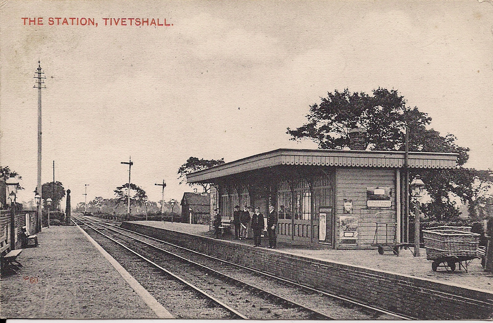
Tivetshall railway station

Tivetshall was a railway station on the Great Eastern Main Line located in Tivetshall, Norfolk. It was also the western terminus of the Waveney Valley...

Nearby Amenities

Located within 500m of 52.472421,1.142086
Barrier: stile
Foot: yes
Material: wood
Note: stile now broken
Stile: stepover
Lat/Long: 52.4736913/1.1349991
Barrier: stile
Bicycle: yes
Foot: yes
Note: Not on the RoW track
Stile: squeezer
Lat/Long: 52.4709291/1.1406075
Power: pole
Lat/Long: 52.4733468/1.139465
Note: Bridge missing over wide deep wet ditch,
Lat/Long: 52.4733866/1.1357504
Note: Bridge missing over wide deep wet ditch,
Lat/Long: 52.4733855/1.1357388
Power: pole
Lat/Long: 52.472974/1.1424667
The data included in this document is from www.openstreetmap.org. The data is made available under ODbL.

Have you been to Cargate Common?

Leave your review of Cargate Common below (or comments, questions and feedback).