Careston

Settlement in Angus

Scotland

Careston

Careston Parish Kirk Careston Kirk viewed from the car parking area to the north-west.
Careston Parish Kirk Credit: Scott Cormie

Careston is a small village located in the county of Angus, Scotland. Situated approximately 8 miles northeast of the town of Brechin, it lies in the heart of the picturesque Angus glens. With a population of around 200 people, Careston is a tight-knit community that exudes a peaceful and rural charm.

The village is best known for its historic buildings, most notably Careston Castle. Dating back to the 16th century, the castle is a fine example of Scottish Baronial architecture and is surrounded by beautiful gardens. It is privately owned but occasionally open to the public for tours and events.

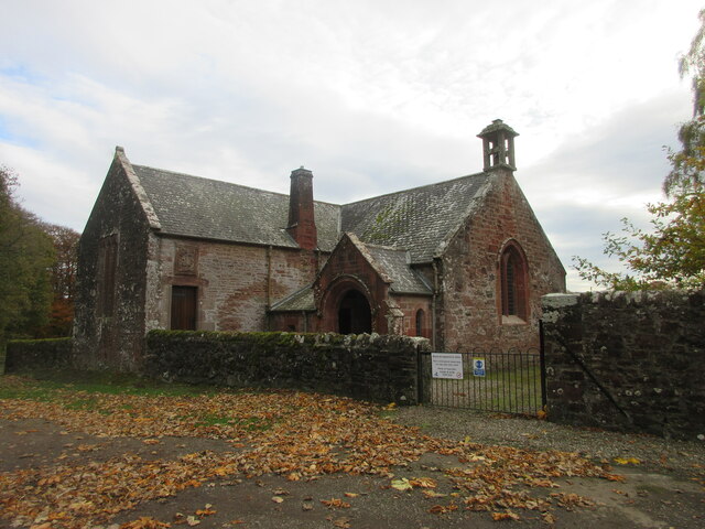
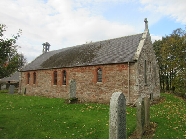
Aside from the castle, there are several other notable landmarks in and around Careston. The Careston Dovecot, a 17th-century structure, is a fascinating historical site, while the nearby Careston Parish Church is a picturesque place of worship.

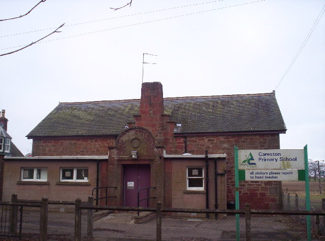
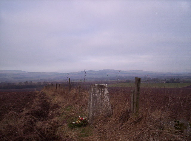
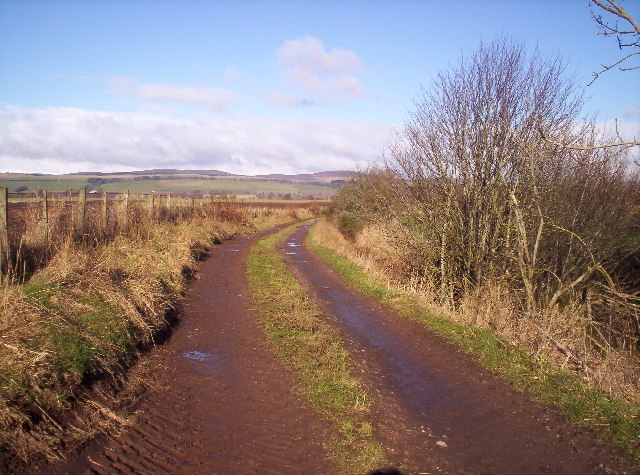
The village itself is primarily residential, with a few local amenities including a village hall and a primary school. The surrounding countryside offers ample opportunities for outdoor activities, such as hiking, fishing, and wildlife spotting.

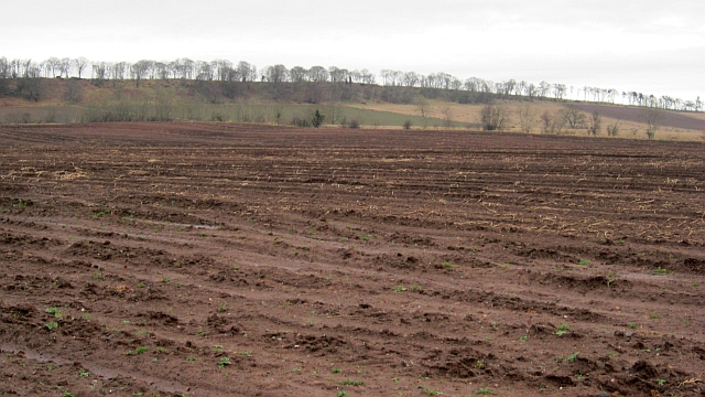
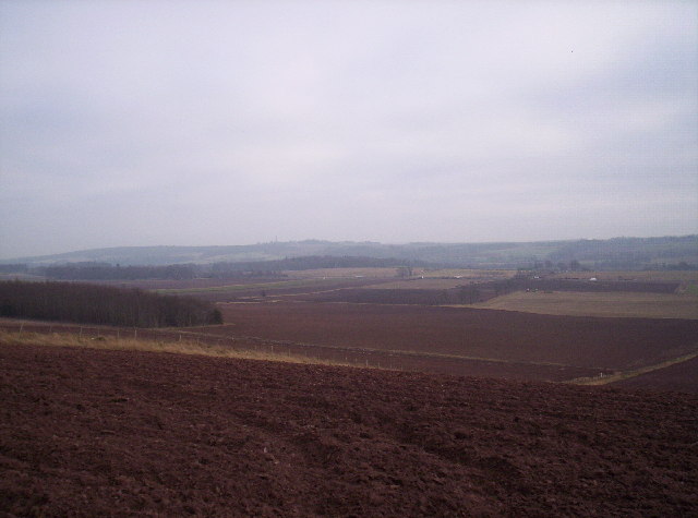
Careston enjoys a rich agricultural heritage, with the fertile land surrounding the village predominantly used for farming. The local economy is supported by a mix of farming, tourism, and small businesses.

Overall, Careston is a charming village that offers a tranquil escape from the hustle and bustle of city life. With its historic buildings, stunning countryside, and close-knit community, it is a hidden gem in the Angus region of Scotland.

If you have any feedback on the listing, please let us know in the comments section below.
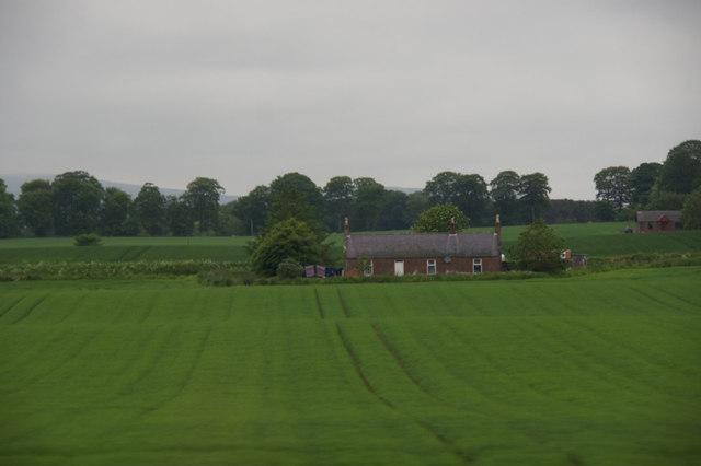
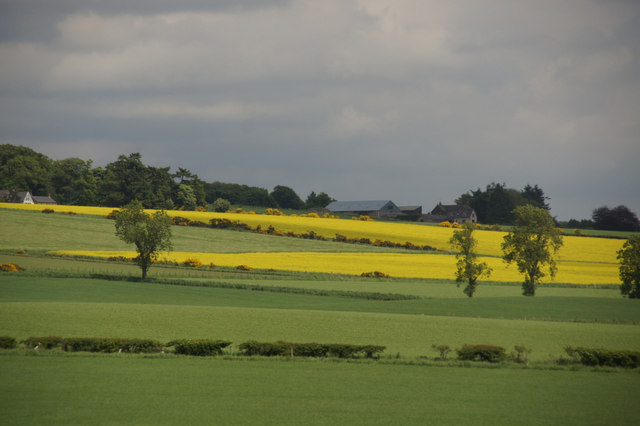
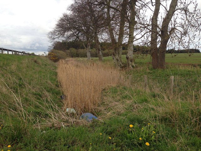
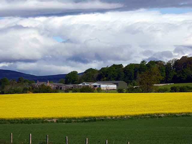
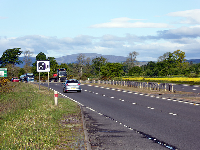
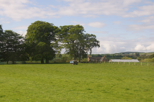
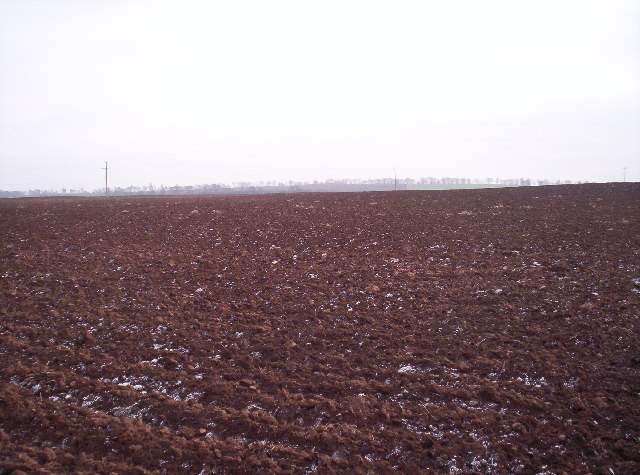
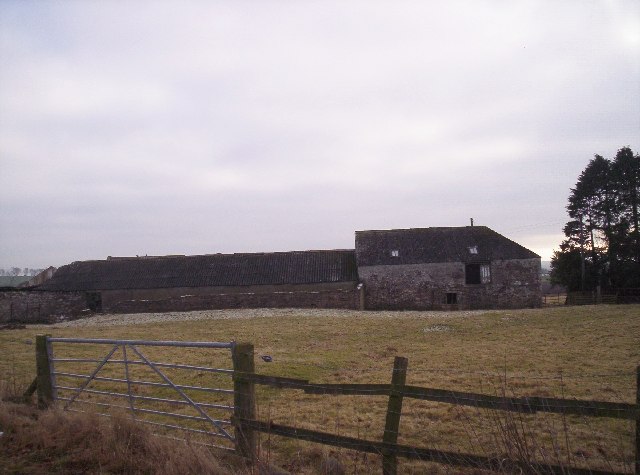
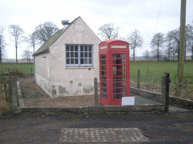
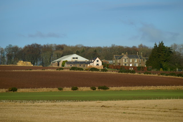
Careston Images

Images are sourced within 2km of 56.73305/-2.753928 or Grid Reference NO5360. Thanks to Geograph Open Source API. All images are credited.

Careston Parish Kirk Careston Kirk viewed from the car parking area to the north-west.
Careston Parish Kirk
Careston Kirk viewed from the car parking area to the north-west.
Careston Kirk from the churchyard Careston Kirk viewed from the churchyard to the south-east.
Careston Kirk from the churchyard
Careston Kirk viewed from the churchyard to the south-east.
Turnoff from the A90 road to Careston This view is for southbound (locally westbound) motorists on the A90 road.
Turnoff from the A90 road to Careston
This view is for southbound (locally westbound) motorists on the A90 road.
Last year's potatoes A field resting over the Winter at Careston.
Last year's potatoes
A field resting over the Winter at Careston.
The Park, Careston, near Brechin
Fields west of Brechin Looking towards Barrelwell.
Fields west of Brechin
Looking towards Barrelwell.
Drainage ditch alongside the A90
Oil seed rape beside the A90 Craigend of Careston beyond.
Oil seed rape beside the A90
Craigend of Careston beyond.
Speed cameras on the A90
Trailer in a field at Gateside, near Brechin
Careston Primary School This school appears to have gone the same way as a lot of country schools and is now shut.
Careston Primary School
This school appears to have gone the same way as a lot of country schools and is now shut.
Trig Point looking Towards The Caterthuns
Fields The vehicles in the distance are on the A90 dual carriageway.
Fields
The vehicles in the distance are on the A90 dual carriageway.
Track to North Wood Hill of Menmuir in the distance
Track to North Wood
Hill of Menmuir in the distance
Careston Telephone Exchange & Kiosk
Craigend of Careston Farm and farmland
Show me another place!

Careston is located at Grid Ref: NO5360 (Lat: 56.73305, Lng: -2.753928)

Unitary Authority: Angus

Police Authority: Tayside

What 3 Words

///prefix.binds.evolution. Near Brechin, Angus

Nearby Locations

Careston

Related Wikis

Careston railway station

Careston railway station served the hamlet of Careston, Angus, Scotland, from 1895 to 1964 on the Forfar and Brechin Railway. == History == The station...

Careston

Careston is a hamlet in Angus, Scotland, that is in the parish of the same name, 5 miles west of Brechin. The parish and hamlet supposedly took their name...

Careston Castle

Careston Castle, also known as Caraldston Castle, is an L-plan tower house dating from the 16th century, on a 1,528-acre estate, in Careston parish, Angus...

Menmuir

Menmuir is a parish in the county of Angus in Scotland. Kirkton of Menmuir consists of only three houses (the Old Schoolhouse, the Manse, the Old Inn)...

Nearby Amenities

Located within 500m of 56.73305,-2.753928
Bus Stop
Phone Box
Bus: yes
Local Ref: AT
Naptan AtcoCode: 6490IM014
Naptan Bearing: W
Naptan BusStopType: CUS
Naptan CommonName: Phone Box
Naptan Indicator: at
Naptan NaptanCode: 26423849
Naptan Street: Unclassified Road
Naptan Verified: no
Public Transport: platform
Source: naptan_import
Lat/Long: 56.7330791/-2.7567648
Bus Stop
Careston Crossroads
Bus: yes
Naptan AtcoCode: 6490IM1073
Naptan Bearing: N
Naptan BusStopType: CUS
Naptan CommonName: Careston Crossroads
Naptan Indicator: at Crossroads
Naptan Landmark: Careston Crossroads
Naptan NaptanCode: 26423848
Naptan Verified: no
Public Transport: platform
Source: naptan_import
Lat/Long: 56.7336669/-2.7541724
Bus Stop
Phone Box
Bus: yes
Naptan AtcoCode: 6490IM1723
Naptan Bearing: E
Naptan BusStopType: CUS
Naptan CommonName: Phone Box
Naptan Indicator: opp
Naptan Landmark: Telephone Exchange
Naptan NaptanCode: 26427259
Naptan Street: Unclassified Road
Naptan Verified: no
Public Transport: platform
Source: naptan_import
Lat/Long: 56.7331867/-2.7567996
Bus Stop
Whiteside of Careston Road End
Bus: yes
Naptan AtcoCode: 6490IM9100
Naptan Bearing: W
Naptan BusStopType: CUS
Naptan CommonName: Whiteside of Careston Road End
Naptan Indicator: at Road End
Naptan NaptanCode: 26425987
Naptan Verified: no
Public Transport: platform
Source: naptan_import
Lat/Long: 56.7331842/-2.7601667
Careston
Place: hamlet
Wikidata: Q5039056
Wikipedia: en:Careston
Lat/Long: 56.7332926/-2.7610213
Craigneuk
Place: hamlet
Lat/Long: 56.7323003/-2.7531977
Craigend of Careston
Place: isolated_dwelling
Lat/Long: 56.7306012/-2.7484289
Post Box
Operator: Royal Mail
Post Box Mounting: pier
Post Box Type: lamp
Ref: DD9 60
Lat/Long: 56.7329846/-2.7591564
Power: pole
Lat/Long: 56.7290413/-2.755572
Power: pole
Lat/Long: 56.7297046/-2.7560669
Power: pole
Lat/Long: 56.7319863/-2.7537904
Power: pole
Lat/Long: 56.7313839/-2.7533568
Power: pole
Lat/Long: 56.7307621/-2.7529043
Power: pole
Lat/Long: 56.7301325/-2.7524283
Power: pole
Lat/Long: 56.7305294/-2.7492304
Power: pole
Lat/Long: 56.7303975/-2.7503097
Power: pole
Lat/Long: 56.7302656/-2.7513702
Power: pole
Lat/Long: 56.7299954/-2.7536113
Power: pole
Lat/Long: 56.7298545/-2.7548579
Power: pole
Lat/Long: 56.7297976/-2.757264
Power: pole
Lat/Long: 56.7299049/-2.7584753
Power: pole
Lat/Long: 56.7300019/-2.7596301
Power: pole
Lat/Long: 56.7345213/-2.7611253
Power: pole
Lat/Long: 56.7347785/-2.7594663
Power: pole
Lat/Long: 56.7330838/-2.7590445
Power: pole
Lat/Long: 56.7335608/-2.7593744
Power: pole
Lat/Long: 56.7340068/-2.7596642
Power: pole
Lat/Long: 56.7342382/-2.760244
Power: pole
Lat/Long: 56.7308474/-2.7605032
Power: pole
Lat/Long: 56.7316398/-2.7602864
Power: pole
Lat/Long: 56.7324258/-2.7600814
Power: pole
Lat/Long: 56.7332221/-2.7598693
Power: pole
Lat/Long: 56.7353912/-2.7592188
Power: pole
Lat/Long: 56.7360246/-2.758969
Power: pole
Lat/Long: 56.7366618/-2.7586839
The data included in this document is from www.openstreetmap.org. The data is made available under ODbL.

Have you been to Careston?

Leave your review of Careston below (or comments, questions and feedback).