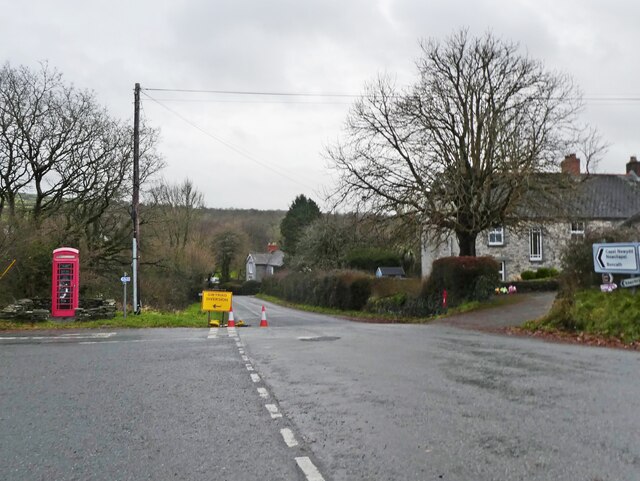
Carreg-wen
Settlement in Pembrokeshire
Wales
Carreg-wen
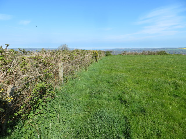
Carreg-wen is a small village located in the county of Pembrokeshire, Wales. Situated in the western part of the country, it is nestled within the picturesque countryside, surrounded by rolling hills and lush green fields. The village is known for its tranquility and natural beauty, making it a popular destination for those seeking a peaceful retreat.
The name "Carreg-wen" translates to "white rock" in Welsh, which is a reference to a large limestone rock formation that can be found on the outskirts of the village. This rock formation is a notable landmark and attracts visitors who come to admire its unique shape and composition.
The village itself is comprised of a small number of houses, a local pub, and a village hall. It has a close-knit community, and residents often participate in various activities and events organized by the village hall.
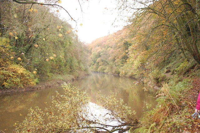
Carreg-wen is also surrounded by several walking trails and nature reserves, making it an ideal location for outdoor enthusiasts. The Pembrokeshire Coast National Park is just a short drive away, offering stunning coastal views and opportunities for hiking, birdwatching, and wildlife spotting.
Overall, Carreg-wen provides a peaceful and idyllic setting for those looking to escape the hustle and bustle of city life and immerse themselves in the natural beauty of the Welsh countryside.
If you have any feedback on the listing, please let us know in the comments section below.
Carreg-wen Images
Images are sourced within 2km of 52.046505/-4.591391 or Grid Reference SN2241. Thanks to Geograph Open Source API. All images are credited.


Carreg-wen is located at Grid Ref: SN2241 (Lat: 52.046505, Lng: -4.591391)
Unitary Authority: Pembrokeshire
Police Authority: Dyfed Powys
Also known as: Careg-wen
What 3 Words
///prancing.chat.divide. Near Cardigan, Ceredigion
Nearby Locations
Related Wikis
Manordeifi
Manordeifi (Welsh: Maenordeifi) is a parish and community in the hundred of Cilgerran, in the northeast corner of Pembrokeshire, Wales. The population...
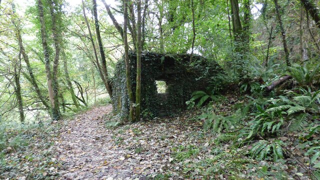
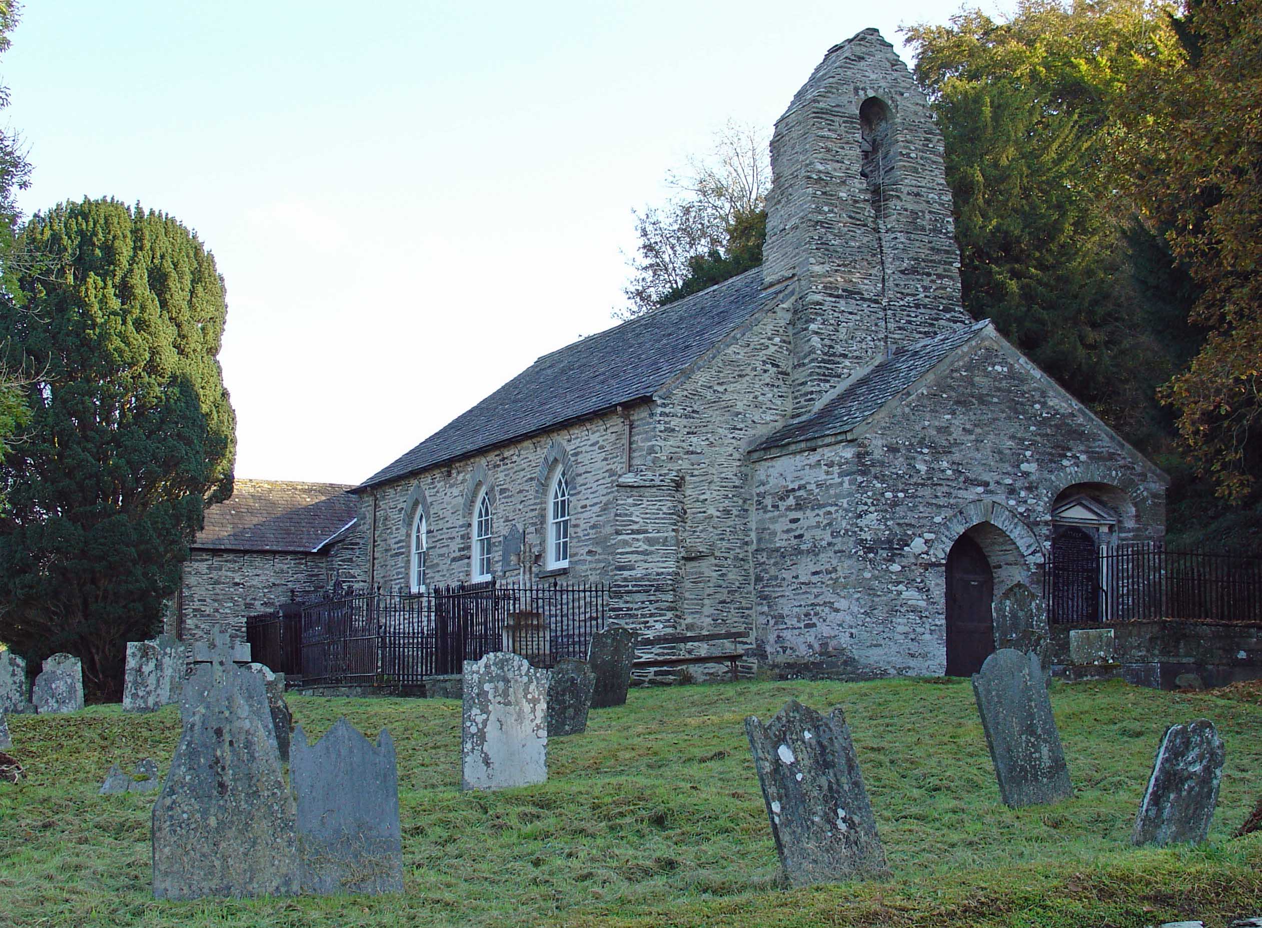
Manordeifi Old Church
Manordeifi Old Church is a redundant church in Manordeifi, Pembrokeshire, Wales. It is designated by Cadw as a Grade II* listed building, and is under...
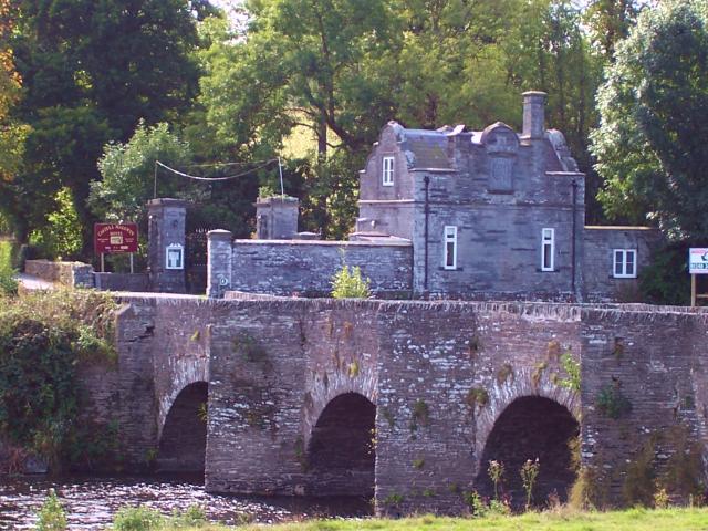
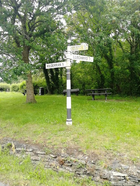
Llechryd
Llechryd (Welsh pronunciation: [ɬɛxrɪd]) is a rural village on the A484 road approximately 3 miles (4.8 km) from Cardigan, Ceredigion, Wales. Situated...
Cemaes Rural District
Cemaes Rural District was an administrative subdivision of Pembrokeshire, Wales from 1934 to 1974. == Name == The district's name is that of its northernmost...
Nearby Amenities
Located within 500m of 52.046505,-4.591391Have you been to Carreg-wen?
Leave your review of Carreg-wen below (or comments, questions and feedback).