Careg-wen
Settlement in Pembrokeshire
Wales
Careg-wen
Careg-wen is a small hamlet located in the county of Pembrokeshire, Wales. Nestled within the picturesque countryside, it is situated approximately 12 miles northeast of Haverfordwest, the county town. The name "Careg-wen" translates to "white rock" in Welsh, which aptly describes the area's prominent feature - a large, distinctive white rock formation.
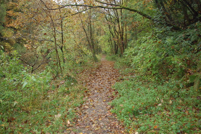
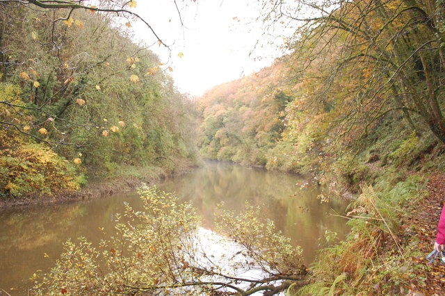
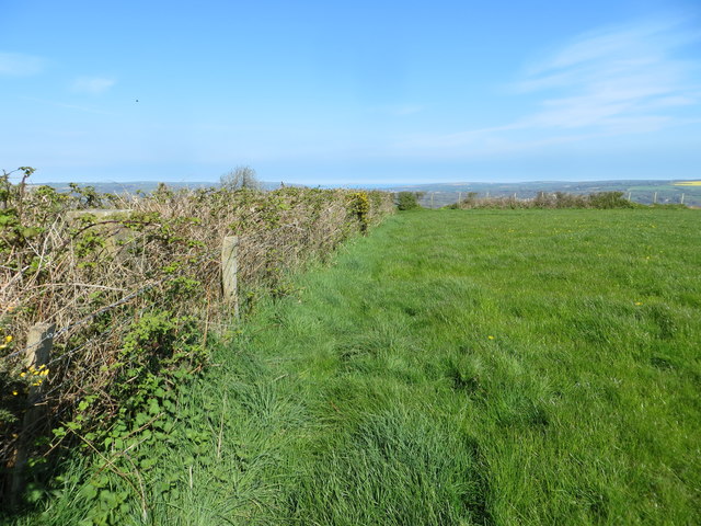
Surrounded by rolling hills and verdant fields, Careg-wen offers a tranquil and idyllic setting for residents and visitors alike. The hamlet is characterized by a scattering of charming stone cottages and farmhouses, lending a rustic and traditional atmosphere to the area. The peaceful ambiance and beautiful natural landscapes make it an ideal destination for those seeking a peaceful retreat away from the hustle and bustle of urban life.
Despite its small size, Careg-wen is home to a close-knit community that takes pride in preserving its rich heritage and maintaining a strong sense of community spirit. Local residents often organize events and activities, such as village fêtes and community gatherings, to foster a sense of belonging and camaraderie.
The surrounding area offers ample opportunities for outdoor enthusiasts, with numerous walking trails and cycling routes to explore. Careg-wen is also conveniently located near several notable attractions, including the renowned Pembrokeshire Coast National Park, which boasts stunning coastal scenery and diverse wildlife.
In summary, Careg-wen is a charming and peaceful hamlet in Pembrokeshire, Wales, known for its scenic beauty, close-knit community, and proximity to natural attractions.
If you have any feedback on the listing, please let us know in the comments section below.
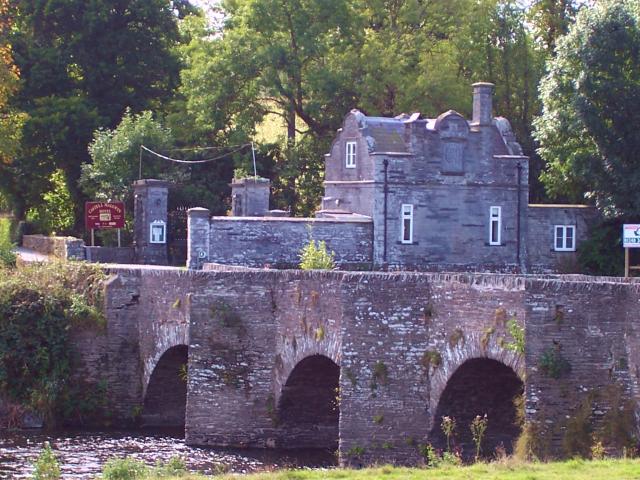
Careg-wen Images
Images are sourced within 2km of 52.046454/-4.592481 or Grid Reference SN2241. Thanks to Geograph Open Source API. All images are credited.


Careg-wen is located at Grid Ref: SN2241 (Lat: 52.046454, Lng: -4.592481)
Unitary Authority: Pembrokeshire
Police Authority: Dyfed Powys
Also known as: Carreg-wen
What 3 Words
///already.pythons.digs. Near Cardigan, Ceredigion
Nearby Locations
Related Wikis
Manordeifi
Manordeifi (Welsh: Maenordeifi) is a parish and community in the hundred of Cilgerran, in the northeast corner of Pembrokeshire, Wales. The population...
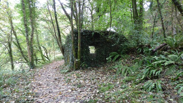
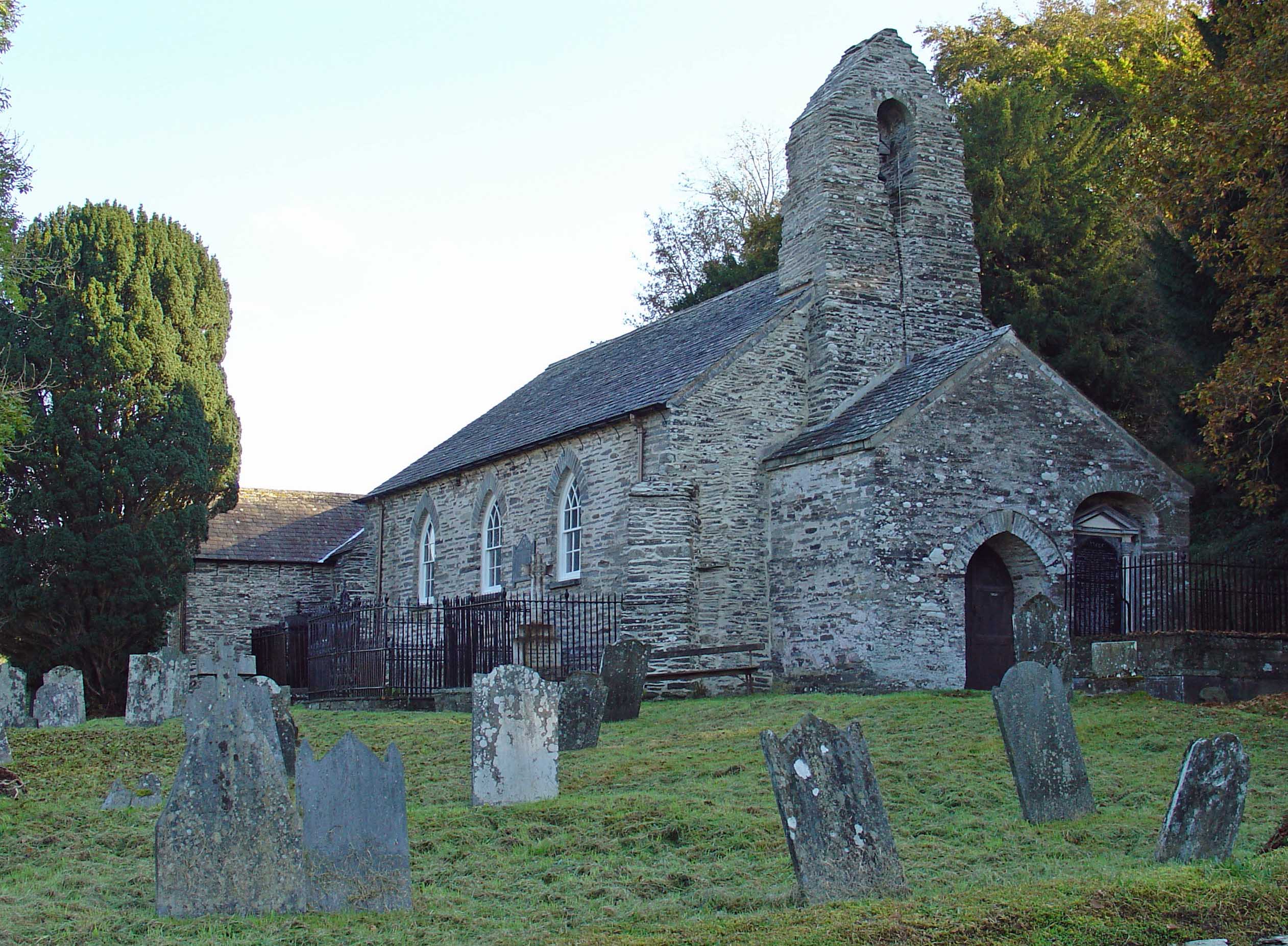
Manordeifi Old Church
Manordeifi Old Church is a redundant church in Manordeifi, Pembrokeshire, Wales. It is designated by Cadw as a Grade II* listed building, and is under...
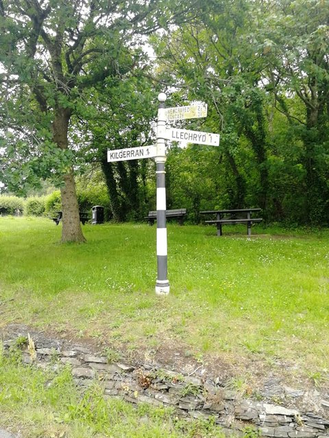
Llechryd
Llechryd (Welsh pronunciation: [ɬɛxrɪd]) is a rural village on the A484 road approximately 3 miles (4.8 km) from Cardigan, Ceredigion, Wales. Situated...

Castell Malgwyn
Castell Malgwyn (alternatively Castle Malgwyn or Hammet House) is a grade II listed Georgian-style country house standing in a landscaped estate in the...
Nearby Amenities
Located within 500m of 52.046454,-4.592481Have you been to Careg-wen?
Leave your review of Careg-wen below (or comments, questions and feedback).