Carreghwfa
Settlement in Montgomeryshire
Wales
Carreghwfa
The requested URL returned error: 429 Too Many Requests
If you have any feedback on the listing, please let us know in the comments section below.
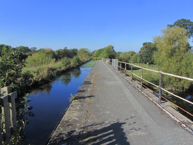
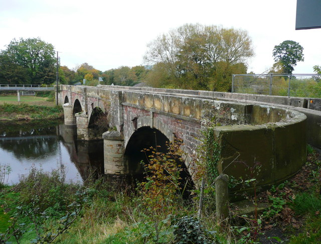
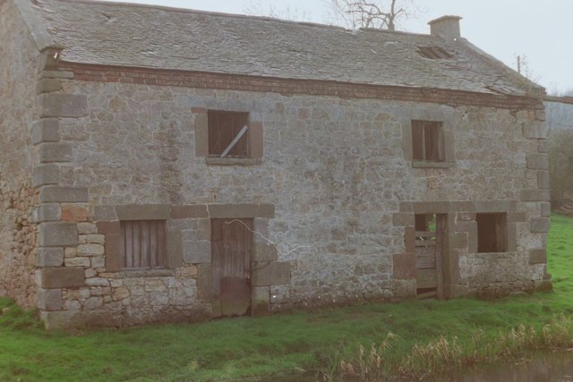
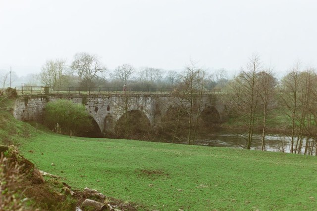
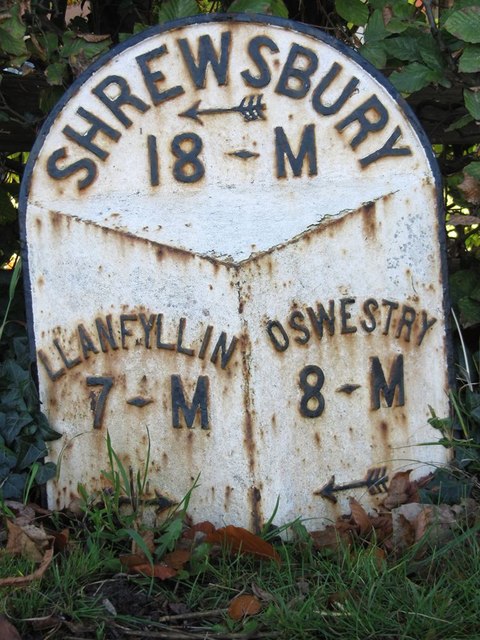
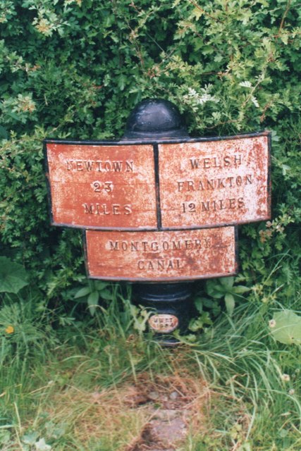
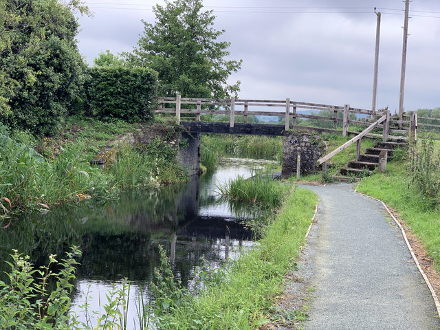
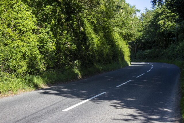
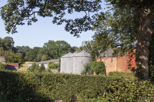
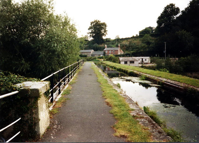
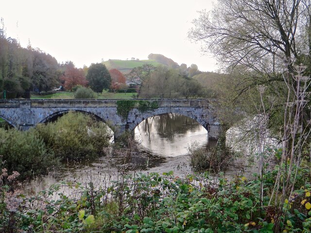
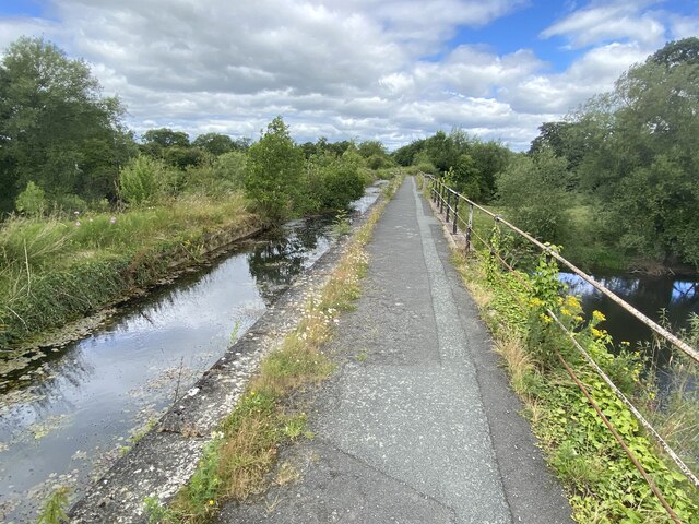
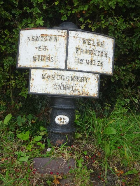
Carreghwfa Images
Images are sourced within 2km of 52.781349/-3.1133789 or Grid Reference SJ2521. Thanks to Geograph Open Source API. All images are credited.


Carreghwfa is located at Grid Ref: SJ2521 (Lat: 52.781349, Lng: -3.1133789)
Unitary Authority: Powys
Police Authority: Dyfed Powys
Also known as: Careghofa
What 3 Words
///makeovers.opposite.graver. Near Pant, Shropshire
Nearby Locations
Related Wikis

Afon Tanat
Afon Tanat is a river in northern Powys, Wales. Its source is close to the Cyrniau Nod mountain, to the north of Lake Vyrnwy. The river flows in a generally...

Carreghofa
Carreghofa (Welsh: Carreghwfa) is a community in Montgomeryshire, Powys, Wales, and is 89.6 miles (144.2 km) from Cardiff and 153.6 miles (247.2 km) from...

Carreghofa Halt railway station
Carreghofa Halt railway station is a disused station in Carreghofa, Powys, Wales. The station opened in 1938 and closed in 1965. == References == ��2...

Carreghofa Castle
Carreghofa Castle (Welsh: Castell Carreghwfa) was a Norman timber and masonry castle located in the Welsh village of Carreghofa, Powys. Between its construction...
Nearby Amenities
Located within 500m of 52.781349,-3.1133789Have you been to Carreghwfa?
Leave your review of Carreghwfa below (or comments, questions and feedback).