Careby

Settlement in Lincolnshire South Kesteven

England

Careby

25kV in the garden When this row of houses were built, the bit of land where the 25kV feed lines for the railway convert from overhead to underground was sold to the end house.
25kV in the garden Credit: Bob Harvey

The requested URL returned error: 429 Too Many Requests

If you have any feedback on the listing, please let us know in the comments section below.
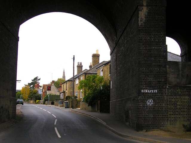
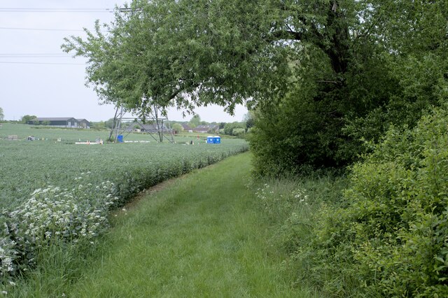
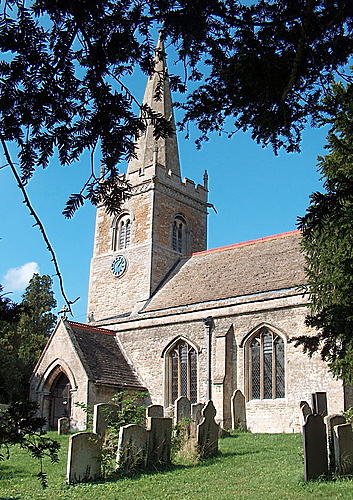
Careby Images

Images are sourced within 2km of 52.736494/-0.488565 or Grid Reference TF0216. Thanks to Geograph Open Source API. All images are credited.

25kV in the garden When this row of houses were built, the bit of land where the 25kV feed lines for the railway convert from overhead to underground was sold to the end house.
25kV in the garden
When this row of houses were built, the bit of land where the 25kV feed lines for the railway convert from overhead to underground was sold to the end house.
25kV single phase Two separate 25kV single phase lines from Bourne East substation to the East Coast Main Line at Little Bytham, striding out of the Grimsthorpe estate and across a field.
25kV single phase
Two separate 25kV single phase lines from Bourne East substation to the East Coast Main Line at Little Bytham, striding out of the Grimsthorpe estate and across a field.
Physalis alkekengi The plant known as "Chinese Lantern" among garden centres is not native to the UK, and we are a little cold for it really.  But here it is growing in a hedgerow by the road, probably as a garden escapee.  There are individuals on the other side of the road too.
Physalis alkekengi
The plant known as "Chinese Lantern" among garden centres is not native to the UK, and we are a little cold for it really. But here it is growing in a hedgerow by the road, probably as a garden escapee. There are individuals on the other side of the road too.
Chinese Lanterns in the verge One of the patches of Physalis alkekengi growing in the roadside hedge. (see <a href="https://www.geograph.org.uk/photo/6946355">TF0117 : Physalis alkekengi</a>).
Chinese Lanterns in the verge
One of the patches of Physalis alkekengi growing in the roadside hedge. (see TF0117 : Physalis alkekengi).
Fibre to the Cabinet One of the cubicles erected to bring high-speed internet to the country.
Fibre to the Cabinet
One of the cubicles erected to bring high-speed internet to the country.
Beautiful Berries Hawthorn berries, or haws, in a hedge.
Beautiful Berries
Hawthorn berries, or haws, in a hedge.
Odder than it looks The use of overhead power distribution in these villages is not unusual.  But this one is.  What is it feeding?  It is in the garden of one of the 4 houses build on the former goods yard of Little Bytham station (itself an oddity, because it is in the parish of Careby, not Little Bytham).  The pole predates the houses by at least half a century.    It is one end of a run of  overhead wiring  in the village (three phases plus neutral) and all four wires are terminated on this pole to cables that go underground.  Normally that would be 3 phase and neutral, but it is not - it is two two-wire circuits (each of Live & Neutral) if you track the distribution past the pub to the end of the village.

This is the infeed end - hence the 4 terminations.  It appears to feed the rest of the village, but not the 4 houses here.

So where do we find two separate phases?  Why, on the poles in the background that bring two 25kV phases from Bourne West to the railway.  There must be, somewhere out of sight, a substation that steps that 25kV down to 240V for the older homes in the village - and perhaps the new ones, too, albeit underground.  See <a href="https://www.geograph.org.uk/photo/6946381">TF0117 : Warning label</a> which implies this assumption is correct.
Odder than it looks
The use of overhead power distribution in these villages is not unusual. But this one is. What is it feeding? It is in the garden of one of the 4 houses build on the former goods yard of Little Bytham station (itself an oddity, because it is in the parish of Careby, not Little Bytham). The pole predates the houses by at least half a century. It is one end of a run of overhead wiring in the village (three phases plus neutral) and all four wires are terminated on this pole to cables that go underground. Normally that would be 3 phase and neutral, but it is not - it is two two-wire circuits (each of Live & Neutral) if you track the distribution past the pub to the end of the village. This is the infeed end - hence the 4 terminations. It appears to feed the rest of the village, but not the 4 houses here. So where do we find two separate phases? Why, on the poles in the background that bring two 25kV phases from Bourne West to the railway. There must be, somewhere out of sight, a substation that steps that 25kV down to 240V for the older homes in the village - and perhaps the new ones, too, albeit underground. See TF0117 : Warning label which implies this assumption is correct.
Warning label The conjecture in <a href="https://www.geograph.org.uk/photo/6946370">TF0117 : Odder than it looks</a> that the village is fed via the supply to the railway system is amply borne out by this notice on the pole, which says
"East Midlands Electricity
If delivering shutdown cards to this location please contact Engineering Clerical immediately.
In the case of emergency for connection of supply contact British Rail on 01 340 2785 or 01 348 9542"

Both telephone numbers are, of course, decades out of date.
Warning label
The conjecture in TF0117 : Odder than it looks that the village is fed via the supply to the railway system is amply borne out by this notice on the pole, which says "East Midlands Electricity If delivering shutdown cards to this location please contact Engineering Clerical immediately. In the case of emergency for connection of supply contact British Rail on 01 340 2785 or 01 348 9542" Both telephone numbers are, of course, decades out of date.
Wiring details If you look at <a href="https://www.geograph.org.uk/photo/6945830">TF0117 : 25kV in the garden</a> and <a href="https://www.geograph.org.uk/photo/6945836">TF0117 : 25kV single phase</a> you will see that there are two groups of four wires coming from the power station at <a href="https://www.geograph.org.uk/photo/399639">TF0619 : Bourne West electricity sub-station</a>.  This is the 25kV supply for the railway overhead power.  

So here are four of the wires.  The top two are bridged together, and connected to a downfeed cable through the large insulator (<a href="https://www.geograph.org.uk/photo/6947644">TF0117 : Feed-through insulator</a>).  This is a single phase 25kV line.  The other two are also bridged together, and connected to a much lighter downfeed.  These are the Neutral, which is essentially at earth potential on the running rail.  

The other 25kV on the other set of posts is arranged in the same way.

Railway infeeds are complex, often providing a split-phase "supply" and "feeder" which combined with trackside autotransformers can reduce the longitudinal volt drop.  It is likely that these two are set up in the same way - one being the infeed and one the feeder, with 120 degree phase shift (a consequence of the conversion from three-phase at the substation).
Wiring details
If you look at TF0117 : 25kV in the garden and TF0117 : 25kV single phase you will see that there are two groups of four wires coming from the power station at TF0619 : Bourne West electricity sub-station. This is the 25kV supply for the railway overhead power. So here are four of the wires. The top two are bridged together, and connected to a downfeed cable through the large insulator (TF0117 : Feed-through insulator). This is a single phase 25kV line. The other two are also bridged together, and connected to a much lighter downfeed. These are the Neutral, which is essentially at earth potential on the running rail. The other 25kV on the other set of posts is arranged in the same way. Railway infeeds are complex, often providing a split-phase "supply" and "feeder" which combined with trackside autotransformers can reduce the longitudinal volt drop. It is likely that these two are set up in the same way - one being the infeed and one the feeder, with 120 degree phase shift (a consequence of the conversion from three-phase at the substation).
Feed-through insulator The large cable interface and feed-through insulator for the incoming 25kV seen in <a href="https://www.geograph.org.uk/photo/6947641">TF0117 : Wiring details</a>, showing how it is bonded to both the upper wires
Feed-through insulator
The large cable interface and feed-through insulator for the incoming 25kV seen in TF0117 : Wiring details, showing how it is bonded to both the upper wires
Station Road Looking north, where Station Road comes out from the arch of the former Midland and Great Northern line, which crossed the East Coast Main Line on an elevated bridge.
Station Road
Looking north, where Station Road comes out from the arch of the former Midland and Great Northern line, which crossed the East Coast Main Line on an elevated bridge.
Stanton's Pit
Stanton's Pit
Roadside trees A flash of late afternoon low angle sunlight.
Roadside trees
A flash of late afternoon low angle sunlight.
Viaduct, Little Bytham The giant Great Northern Railway viaduct looms large in this small village, and still carries the main East Coast line. It appears to be built of blue engineering brick. I haven't found a date beyond that it is Victorian.
Viaduct, Little Bytham
The giant Great Northern Railway viaduct looms large in this small village, and still carries the main East Coast line. It appears to be built of blue engineering brick. I haven't found a date beyond that it is Victorian.
Country road near Little Bytham
Willoughby Arms, Little Bytham Quite an imposing country pub which originally lay close to a railway station (<a href="https://www.geograph.org.uk/photo/4426796">TF0117 : The Willoughby Arms at Little Bytham, near Bourne, Lincolnshire</a>).
Willoughby Arms, Little Bytham
Quite an imposing country pub which originally lay close to a railway station (TF0117 : The Willoughby Arms at Little Bytham, near Bourne, Lincolnshire).
Little Bytham High Street Looking through the road arch of the magnificent Victorian railway viaduct that carries the 4-track East Coast Main Line over the village <a href="https://www.geograph.org.uk/photo/1622243">TF0118 : Railway Viaduct, Little Bytham</a>. The spire of the Church of St. Medard and St. Gildard is in the distance.
Little Bytham High Street
Looking through the road arch of the magnificent Victorian railway viaduct that carries the 4-track East Coast Main Line over the village TF0118 : Railway Viaduct, Little Bytham. The spire of the Church of St. Medard and St. Gildard is in the distance.
Restricted Byway Sections 47-50 of the 2000 Act introduce a new category of highway called 
the “restricted byway”. A restricted byway is defined as a highway over which 
the public have restricted byway rights, with or without the right to drive 
animals of any description.  This replaced the concept of a "road used as a public path".

This track is a restricted byway.  See <a href="https://www.geograph.org.uk/photo/7175487">TF0214 : Restricted Byway sign</a>.

A little further on is the camp for one of the wire-pulling bases used to re-string the 400kV line through Lincolnshire
Restricted Byway
Sections 47-50 of the 2000 Act introduce a new category of highway called the “restricted byway”. A restricted byway is defined as a highway over which the public have restricted byway rights, with or without the right to drive animals of any description. This replaced the concept of a "road used as a public path". This track is a restricted byway. See TF0214 : Restricted Byway sign. A little further on is the camp for one of the wire-pulling bases used to re-string the 400kV line through Lincolnshire
Show me another place!

Careby is located at Grid Ref: TF0216 (Lat: 52.736494, Lng: -0.488565)

Division: Parts of Kesteven

Administrative County: Lincolnshire

District: South Kesteven

Police Authority: Lincolnshire

What 3 Words

///removals.receive.nervy. Near Pickworth, Rutland

Nearby Locations

Careby The Warren

Related Wikis

Careby

Careby is the principal village in the civil parish of Careby Aunby and Holywell, in the South Kesteven district of South Kesteven, Lincolnshire, England...

Careby Aunby and Holywell

Careby Aunby and Holywell is a civil parish in the district of South Kesteven, south-west Lincolnshire, in England. It stretches from the county border...

Little Bytham railway station

Little Bytham railway station was a station in Little Bytham, Lincolnshire on the Great Northern Railway main line. It closed in 1959. The Midland and...

Little Bytham

Little Bytham is a village and civil parish in the South Kesteven district of Lincolnshire, England. The population of the civil parish at the 2011 census...

Nearby Amenities

Located within 500m of 52.736494,-0.488565
Bus Stop
Station Road
Naptan AtcoCode: 270000010075
Naptan Bearing: E
Naptan CommonName: Station Road
Naptan Indicator: adj
Naptan Landmark: Station Road
Naptan NaptanCode: linjgtgm
Naptan Street: Main Street
Naptan Verified: no
Source: naptan_import
Lat/Long: 52.7363488/-0.488665
Bus Stop
Station Road
Naptan AtcoCode: 2700LCRB1806
Naptan Bearing: W
Naptan CommonName: Station Road
Naptan Indicator: opp
Naptan Landmark: Station Road
Naptan Street: Main Street
Naptan Verified: no
Source: naptan_import
Lat/Long: 52.7362683/-0.4886974
Careby Garage
Addr Postcode: PE9 4EA
Addr Street: Stamford Road
Shop: car_repair
Website: http://www.carebygarage.com/
Lat/Long: 52.73627/-0.4884599
Manor Farm
Place: farm
Source: Bing
Lat/Long: 52.7370019/-0.4855748
Building: yes
Lat/Long: 52.7381819/-0.4821195
Telephone
Defibrillator
Booth: K6
Covered: booth
Defibrillator Location: inside old red phone box in Careby
Emergency: defibrillator
Man Made: telephone_box
Lat/Long: 52.7364938/-0.4879986
The data included in this document is from www.openstreetmap.org. The data is made available under ODbL.

Have you been to Careby?

Leave your review of Careby below (or comments, questions and feedback).