Care Village

Settlement in Leicestershire Harborough

England

Care Village

The Main Street of Tur Langton
The Main Street of Tur Langton Credit: Mat Fascione

Care Village is a residential community located in Leicestershire, England. Situated in a picturesque countryside setting, it offers a safe and tranquil environment for its residents. The village is designed specifically for older adults who require various levels of care and support, including assisted living, nursing care, and dementia care.

The village boasts a range of modern and purpose-built facilities, ensuring residents have access to high-quality care and accommodation. The residential units are well-designed and equipped with all the necessary amenities, providing a comfortable and homely atmosphere. Each unit is designed to promote independence while also catering to the specific needs of the residents.

Care Village places a strong emphasis on promoting a healthy and active lifestyle. It offers a range of social and recreational activities to keep residents engaged and connected within the community. The onsite facilities include beautifully landscaped gardens, communal spaces for socializing, and a variety of leisure activities such as fitness classes and arts and crafts.

The village also prioritizes the well-being of its residents by providing access to healthcare services and support. A team of dedicated and highly trained staff is available 24/7 to provide personalized care, ensuring the safety and comfort of the residents.

Overall, Care Village in Leicestershire offers a supportive and nurturing environment for older adults, providing them with the care, facilities, and activities needed to lead a fulfilling and enjoyable life.

If you have any feedback on the listing, please let us know in the comments section below.
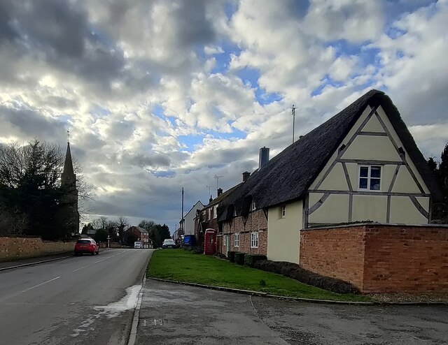
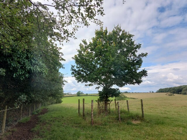
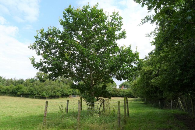
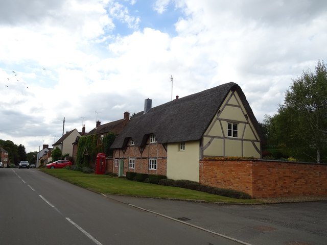
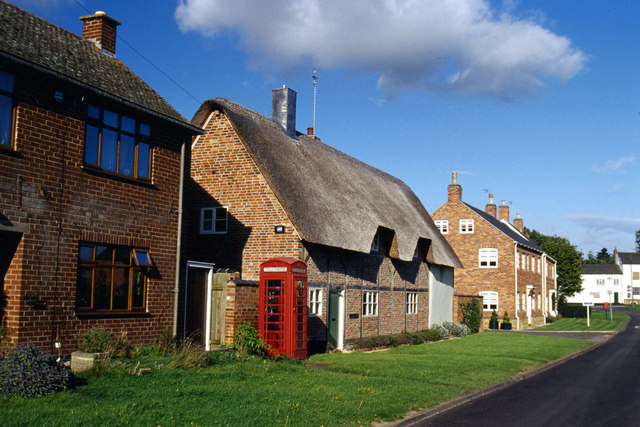
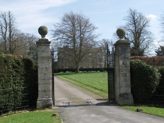
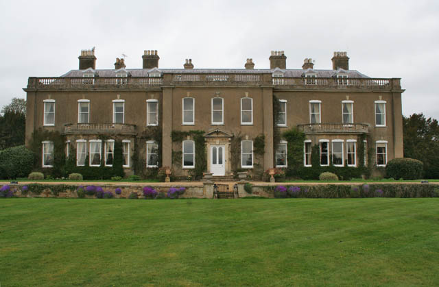
Care Village Images

Images are sourced within 2km of 52.557085/-0.9394237 or Grid Reference SP7296. Thanks to Geograph Open Source API. All images are credited.

The Main Street of Tur Langton
St Nicholas Church in Shangton On the southern edge of the small village of Shangton.
St Nicholas Church in Shangton
On the southern edge of the small village of Shangton.
Shangton Road near Tur Langton
Frozen farmland north of Shangton
The Main Street in Tur Langton
The (new) Gartree Oak In a field next to Gartree Road (Roman road Via Devana), close to the site of the 'Gartre Bush' shown on Nichols' 1798 map (Nichols, John, 1798. The History and Antiquities of the County of Leicester  Vol. 2, Part 2). See <span class="nowrap"><a title="https://www.kibworthvillage.co.uk/museum/item/73-the-gartree-hundred-and-the-gartree-oak.html" rel="nofollow ugc noopener" href="https://www.kibworthvillage.co.uk/museum/item/73-the-gartree-hundred-and-the-gartree-oak.html">Link</a><img style="margin-left:2px;" alt="External link" title="External link - shift click to open in new window" src="https://s1.geograph.org.uk/img/external.png" width="10" height="10"/></span> for significance.
The (new) Gartree Oak
In a field next to Gartree Road (Roman road Via Devana), close to the site of the 'Gartre Bush' shown on Nichols' 1798 map (Nichols, John, 1798. The History and Antiquities of the County of Leicester Vol. 2, Part 2). See LinkExternal link for significance.
Fernie House, Tur Langton
Shangton Road (B6047), Tur Langton
Thatched cottage on Main Street
Cottage and telephone box on Main Street Now houses a defibrillator.
Cottage and telephone box on Main Street
Now houses a defibrillator.
The Crown Inn, Tur Langton
Elizabeth II postbox on Main Street, Tur Langton Postbox No. LE8 351.
See <a href="https://www.geograph.org.uk/photo/7598462">SP7194 : House on Main Street, Tur Langton</a> for context.
Elizabeth II postbox on Main Street, Tur Langton
Postbox No. LE8 351. See SP7194 : House on Main Street, Tur Langton for context.
House on Main Street, Tur Langton Showing position of Postbox No. LE8 351.
See <a href="https://www.geograph.org.uk/photo/7598459">SP7194 : Elizabeth II postbox on Main Street, Tur Langton</a> for postbox.
House on Main Street, Tur Langton
Showing position of Postbox No. LE8 351. See SP7194 : Elizabeth II postbox on Main Street, Tur Langton for postbox.
St Andrews Church in Tur Langton
Church tower
Church tower
Stonton Wyville
Stonton Wyville
Gartree Road
Gartree Road
Show me another place!

Care Village is located at Grid Ref: SP7296 (Lat: 52.557085, Lng: -0.9394237)

Administrative County: Leicestershire

District: Harborough

Police Authority: Leicestershire

What 3 Words

///valve.typed.watching. Near Kibworth Harcourt, Leicestershire

Nearby Locations

Care Village

Related Wikis

Shangton

Shangton is a parish and small village near Tur Langton in Leicestershire, England, and part of Harborough district. == External links == Media related...

Tur Langton

Tur Langton (derived from the Anglo-Saxon word for an enclosure, meaning "long town") is a small village and civil parish in the Harborough district, in...

Stonton Wyville

Stonton Wyville is a small village and civil parish in the Harborough district of Leicestershire, England. According to the 2001 census the parish had...

Carlton Curlieu Hall

Carlton Curlieu Hall is a privately owned 17th-century country house at Carlton Curlieu, Leicestershire. It is the home of the Palmer family and is a Grade...

Carlton Curlieu

Carlton Curlieu is a small village and civil parish in the Harborough district of Leicestershire, about eleven miles south-east of Leicester city centre...

Glooston

Glooston is a small village and civil parish in the Harborough district of Leicestershire, England. According to the 2001 census the parish had a population...

Noseley Hall

Noseley Hall is a privately owned 18th-century country house situated at Noseley, Billesden, Leicestershire. It is a Grade II* listed building. Anciently...

The Langtons

The Langtons is an area of Harborough, Leicestershire, England comprising the following villages: Church Langton East Langton Thorpe Langton Tur Langton...

Nearby Amenities

Located within 500m of 52.557085,-0.9394237
Bus Stop
Main Street
Bus: yes
Naptan AtcoCode: 260023900
Naptan Bearing: N
Naptan BusStopType: CUS
Naptan CommonName: Main Street
Naptan Indicator: 10m south
Naptan Landmark: Shangton Main Street Junction
Naptan NaptanCode: leijpajm
Naptan Notes: Non-Hourly - County
Naptan Street: Melton Road
Naptan Verified: no
Public Transport: platform
Source: naptan_import
Lat/Long: 52.5590781/-0.940879
Bus Stop
Main Street
Bus: yes
Naptan AtcoCode: 260023901
Naptan Bearing: S
Naptan BusStopType: CUS
Naptan CommonName: Main Street
Naptan Indicator: opposite
Naptan Landmark: Junc Shangton Main Street
Naptan NaptanCode: leijpajp
Naptan Notes: Non-Hourly - County
Naptan Street: Melton Road
Naptan Verified: no
Public Transport: platform
Source: naptan_import
Lat/Long: 52.5594219/-0.9406884
The data included in this document is from www.openstreetmap.org. The data is made available under ODbL.

Have you been to Care Village?

Leave your review of Care Village below (or comments, questions and feedback).