Scoretulloch Plantation
Wood, Forest in Ayrshire
Scotland
Scoretulloch Plantation
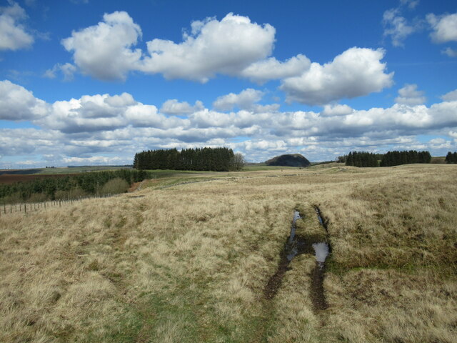
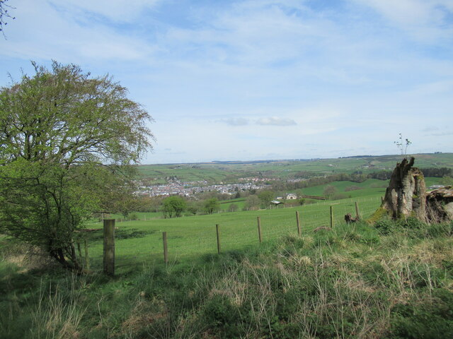
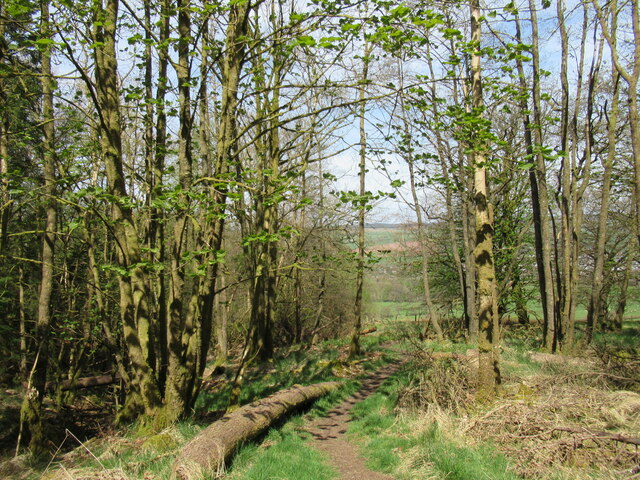
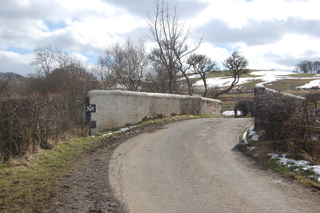
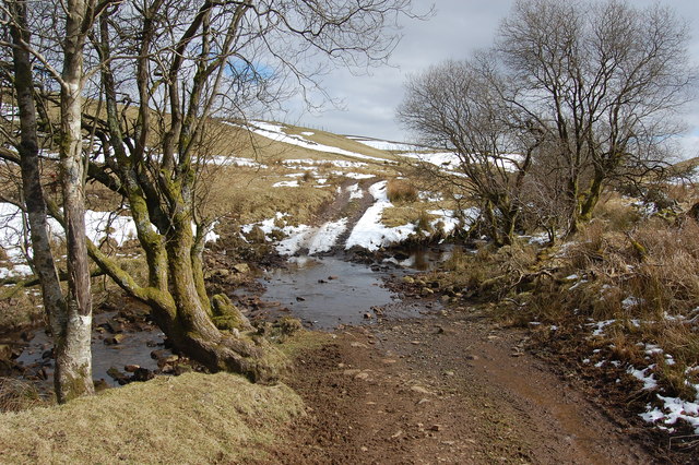
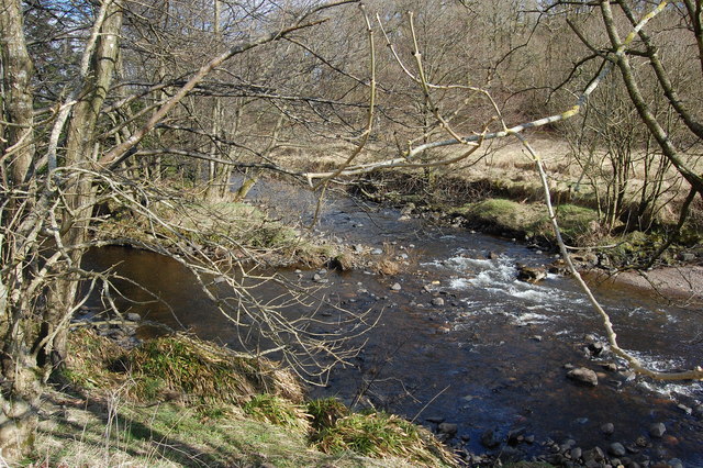
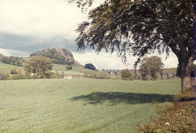
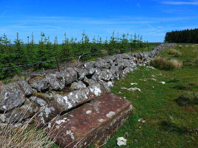
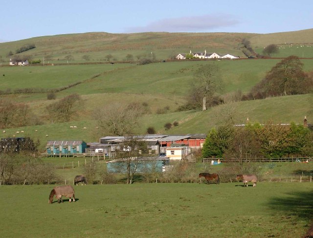
Scoretulloch Plantation is a sprawling woodland located in Ayrshire, Scotland. Covering a vast area, it is known for its dense forest and diverse range of trees. The plantation is situated in a picturesque setting, surrounded by rolling hills and beautiful countryside.
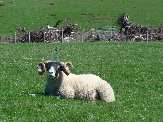
The woodland is predominantly made up of various species of coniferous trees, including Scots pine, Douglas fir, and Norway spruce. These towering trees provide a lush green canopy, offering a habitat for a wide array of wildlife. The plantation is home to numerous bird species, such as woodpeckers, owls, and thrushes, making it a popular spot for birdwatchers.
The forest floor is covered in a thick layer of moss and ferns, creating a tranquil and serene atmosphere. The undergrowth is rich in plant life, with bluebells, wild garlic, and foxgloves adding vibrant bursts of color to the landscape during the spring and summer months.
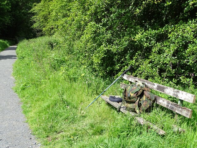
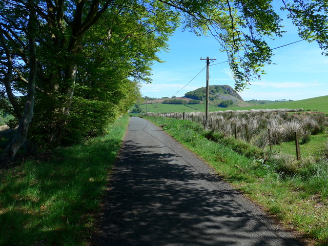
Scoretulloch Plantation is a haven for outdoor enthusiasts, offering a network of well-maintained trails for walking, hiking, and cycling. These paths wind through the woodland, allowing visitors to explore the plantation at their own pace. The plantation also features picnic areas and viewpoints, providing opportunities for relaxation and enjoying the scenic views.
Overall, Scoretulloch Plantation is a captivating woodland in Ayrshire, offering a diverse range of flora and fauna, stunning natural scenery, and recreational activities for all nature lovers to enjoy.
If you have any feedback on the listing, please let us know in the comments section below.
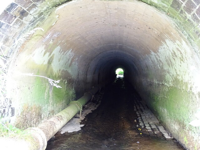
Scoretulloch Plantation Images
Images are sourced within 2km of 55.599231/-4.2512383 or Grid Reference NS5836. Thanks to Geograph Open Source API. All images are credited.
Scoretulloch Plantation is located at Grid Ref: NS5836 (Lat: 55.599231, Lng: -4.2512383)
Unitary Authority: East Ayrshire
Police Authority: Ayrshire
What 3 Words
///warms.dates.dodging. Near Darvel, East Ayrshire
Nearby Locations
Related Wikis

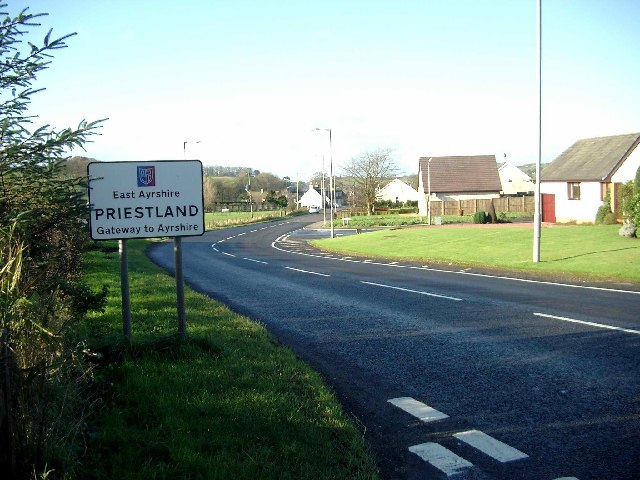
Priestland
Priestland is a village in East Ayrshire, Scotland. It has a population of 121 (Census 2001) and lies on the A71, around two miles west of Loudoun Hill...
Darvel F.C.
Darvel Football Club are a Scottish football club based in the town of Darvel, Ayrshire. Nicknamed "The Vale" and formed in 1889, the club play at Recreation...

Darvel
Darvel (Scots: Dairvel, Scottish Gaelic: Darbhail) is a small town in East Ayrshire, Scotland. It is at the eastern end of the Irvine Valley and is sometimes...
Loudounhill railway station
Loudounhill (NS 60268 37191) was a railway station on the Darvel and Strathaven Railway serving a rural area that included the landmark of Loudoun Hill...
Nearby Amenities
Located within 500m of 55.599231,-4.2512383Have you been to Scoretulloch Plantation?
Leave your review of Scoretulloch Plantation below (or comments, questions and feedback).