Barr Hill

Hill, Mountain in Ayrshire

Scotland

Barr Hill

The Hendryton Burn The Hendryton Burn runs through a culvert under the old 
Darvel & Strathaven Branch of the old G.&.S.W.R.
This photo was taken on the 19th June 2022.
The Hendryton Burn Credit: Rab McMurdo

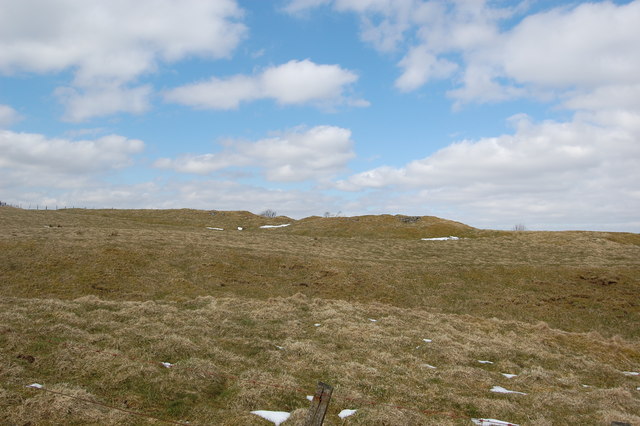
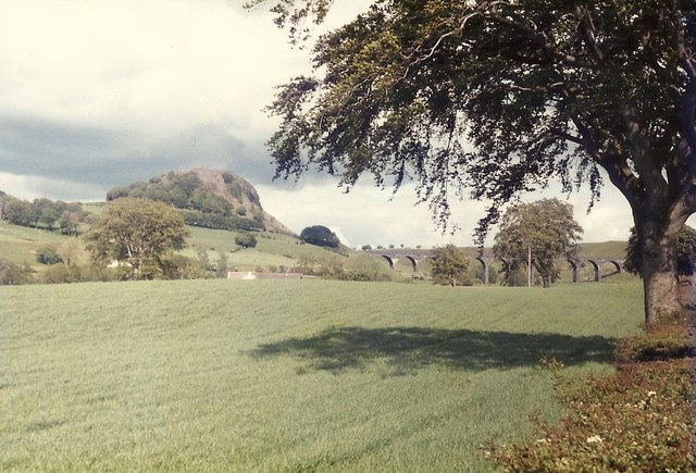
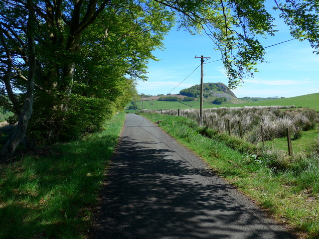
Barr Hill is a prominent landmark located in Ayrshire, a county in southwestern Scotland. Rising to an elevation of 334 meters (1,096 feet), it is often referred to as a hill rather than a mountain due to its relatively modest height. Nonetheless, Barr Hill offers stunning panoramic views of the surrounding countryside, making it a popular destination for hikers, nature enthusiasts, and photographers.

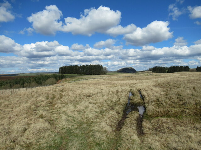
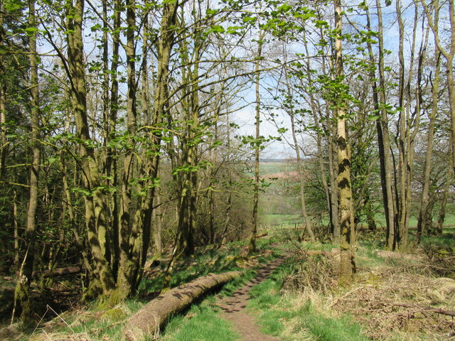
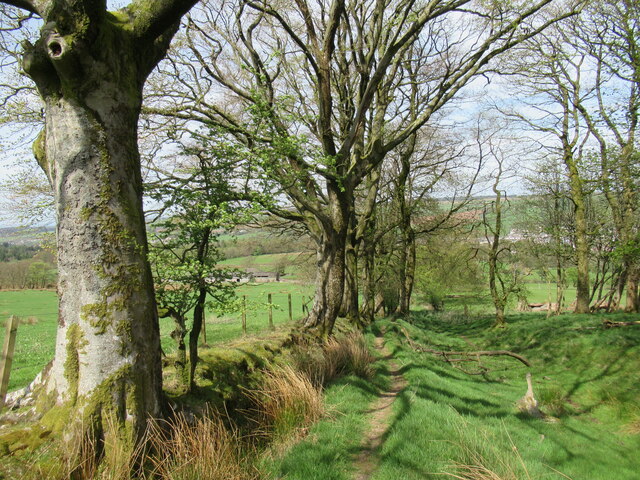
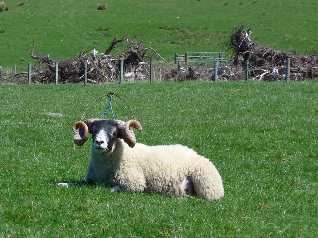
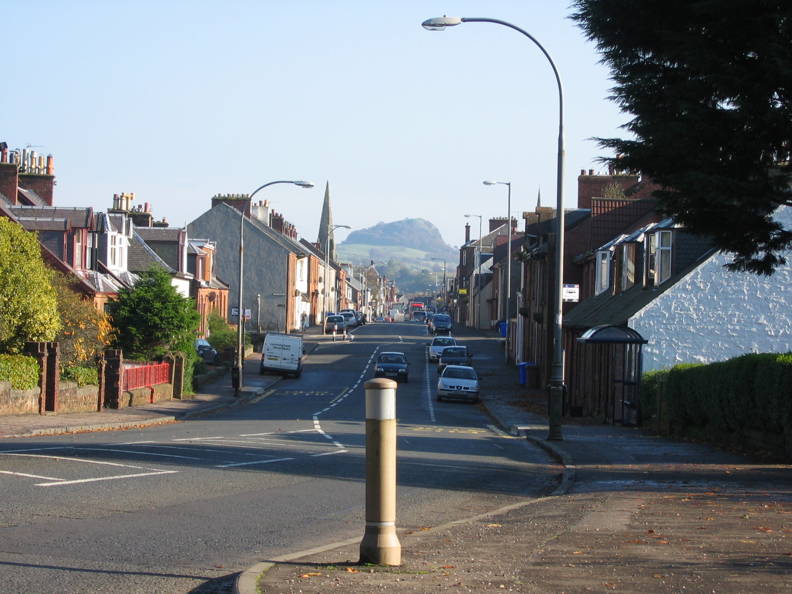
Situated near the village of Barr, this hill is characterized by its distinctive conical shape and is covered in heather and grasses, creating a picturesque landscape. The ascent to the summit is relatively gentle, making it accessible to walkers of various fitness levels. Along the way, visitors can enjoy the sight of grazing sheep and occasionally spot wildlife such as deer and birds.

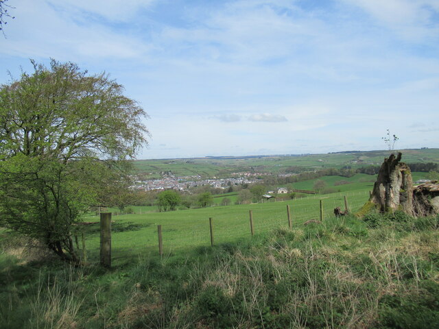
At the top of Barr Hill, the reward is a breathtaking vista that stretches across Ayrshire and beyond. On clear days, one can see the Firth of Clyde, the Isle of Arran, and even the distant peaks of the Scottish Highlands. This panoramic view attracts both locals and tourists alike, who appreciate the tranquility and beauty of the Scottish countryside.

Overall, Barr Hill is a natural gem in Ayrshire, offering visitors a chance to immerse themselves in the region's stunning scenery. Whether it is hiking to the summit or simply enjoying the view from below, this hill provides an opportunity to connect with nature and experience the undeniable allure of the Scottish landscape.

If you have any feedback on the listing, please let us know in the comments section below.
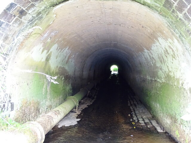
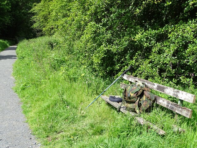
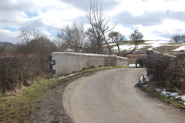
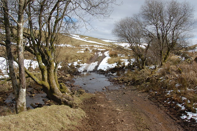
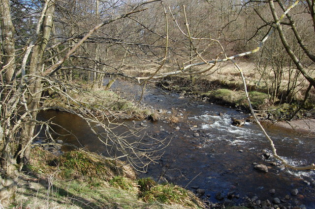
Barr Hill Images

Images are sourced within 2km of 55.600667/-4.2528128 or Grid Reference NS5836. Thanks to Geograph Open Source API. All images are credited.

The Hendryton Burn The Hendryton Burn runs through a culvert under the old 
Darvel & Strathaven Branch of the old G.&.S.W.R.
This photo was taken on the 19th June 2022.
The Hendryton Burn
The Hendryton Burn runs through a culvert under the old Darvel & Strathaven Branch of the old G.&.S.W.R. This photo was taken on the 19th June 2022.
Old Bench A summer seat beside the pathway on the old railway.
This photo was taken on the 19th June 2022.
Old Bench
A summer seat beside the pathway on the old railway. This photo was taken on the 19th June 2022.
Wheel ruts, King's Muir A rutted track, boggy in places, crosses King's Muir north of Watstone Hill. The rocky lump of Loudoun Hill can be seen on the horizon.
Wheel ruts, King's Muir
A rutted track, boggy in places, crosses King's Muir north of Watstone Hill. The rocky lump of Loudoun Hill can be seen on the horizon.
View towards Darvel From the "Dyke Path" above the farm of the same name, where there is bench on this spot.
View towards Darvel
From the "Dyke Path" above the farm of the same name, where there is bench on this spot.
Path in Dykehill Plantation Fresh new leaves are appearing on the trees.
Path in Dykehill Plantation
Fresh new leaves are appearing on the trees.
Trees by the Dyke Path near Darvel A waymarked path that can be used as part of various circuits from Darvel, including parts of the Lanfine Estate.
Trees by the Dyke Path near Darvel
A waymarked path that can be used as part of various circuits from Darvel, including parts of the Lanfine Estate.
Road bridge Bridge over the River Irvine
Road bridge
Bridge over the River Irvine
Cold bath
Cold bath
Road Bridge Bridge on farm access road.
Road Bridge
Bridge on farm access road.
Long Cairn This is the Long Cairn
Long Cairn
This is the Long Cairn
Small ford Ford across small burn
Small ford
Ford across small burn
River meetings The Glen Water meets the River Irvine
River meetings
The Glen Water meets the River Irvine
Steel Bridge Private access bridge across River Irvine.
Steel Bridge
Private access bridge across River Irvine.
Looking across the fields from the A71 towards Loudoun Hill The railway line was demolished in 1986 - the year after I took this picture
Looking across the fields from the A71 towards Loudoun Hill
The railway line was demolished in 1986 - the year after I took this picture
East Main Street, Darvel
The road from Burnhead The volcanic plug of Loudoun Hill showing in the distance.
The road from Burnhead
The volcanic plug of Loudoun Hill showing in the distance.
Carved stones by the track to Watstone Hill A pile of three rectangular stones lying by a wall. There are some markings on one of the stones, but they are very difficult to make out.

Compare with <a href="https://www.geograph.org.uk/photo/114011">NS5935 : Carved stones by the track to Watstone Hill</a> taken in 2006;  the trees showing then have been felled and are now replanted.
Carved stones by the track to Watstone Hill
A pile of three rectangular stones lying by a wall. There are some markings on one of the stones, but they are very difficult to make out. Compare with NS5935 : Carved stones by the track to Watstone Hill taken in 2006; the trees showing then have been felled and are now replanted.
Ram with horn attachment Looking close, it is clear the metal arc is attached to holes drilled in the horns.  Is this to prevent fighting, or is it to hold the horns out from in front of the eyes?
Ram with horn attachment
Looking close, it is clear the metal arc is attached to holes drilled in the horns. Is this to prevent fighting, or is it to hold the horns out from in front of the eyes?
Show me another place!

Barr Hill is located at Grid Ref: NS5836 (Lat: 55.600667, Lng: -4.2528128)

Unitary Authority: East Ayrshire

Police Authority: Ayrshire

What 3 Words

///demand.tidal.veal. Near Darvel, East Ayrshire

Related Wikis

Priestland

Priestland is a village in East Ayrshire, Scotland. It has a population of 121 (Census 2001) and lies on the A71, around two miles west of Loudoun Hill...

Darvel F.C.

Darvel Football Club are a Scottish football club based in the town of Darvel, Ayrshire. Nicknamed "The Vale" and formed in 1889, the club play at Recreation...

Darvel

Darvel (Scots: Dairvel, Scottish Gaelic: Darbhail) is a small town in East Ayrshire, Scotland. It is at the eastern end of the Irvine Valley and is sometimes...

Darvel Town Hall

Darvel Town Hall is a municipal building in West Main Street, Darvel, East Ayrshire, Scotland. The structure, which is used as a library and a community...

Nearby Amenities

Located within 500m of 55.600667,-4.2528128
Power: pole
Lat/Long: 55.5971066/-4.2487641
Power: pole
Lat/Long: 55.5971972/-4.2477806
The data included in this document is from www.openstreetmap.org. The data is made available under ODbL.

Have you been to Barr Hill?

Leave your review of Barr Hill below (or comments, questions and feedback).