Mullans Wood

Wood, Forest in Ross-shire

Scotland

Mullans Wood

Approaching the A9 from Mains of Tore
Approaching the A9 from Mains of Tore Credit: Steven Brown

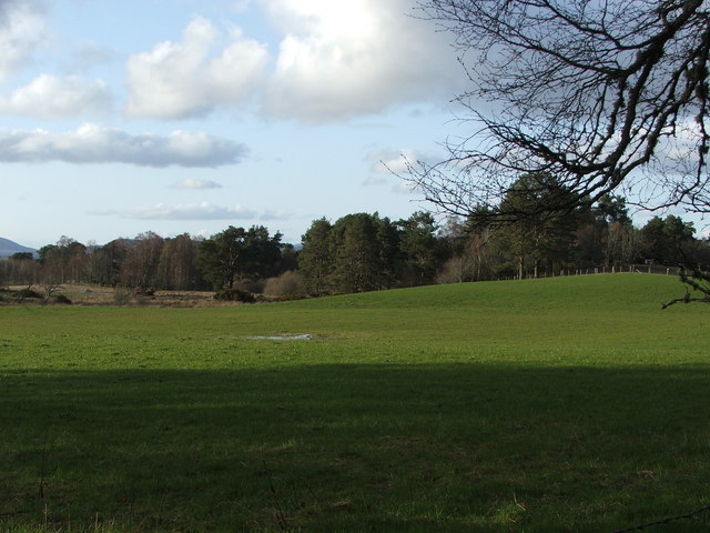
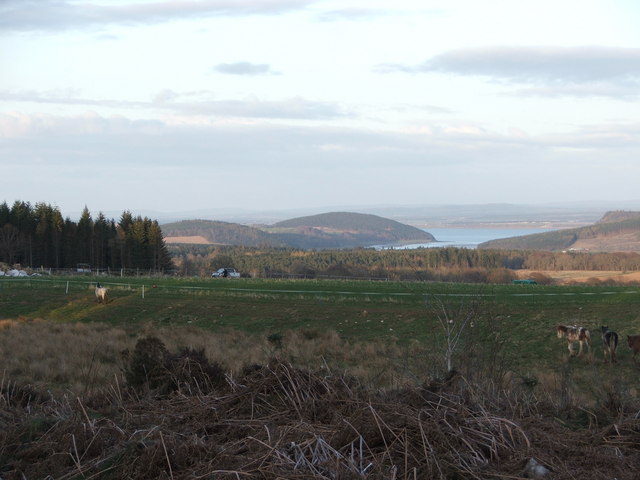
Mullans Wood is a picturesque forest located in the Ross-shire region of Scotland. Spanning over a vast area, this wood encompasses a diverse range of flora and fauna, making it a haven for nature enthusiasts and wildlife lovers alike.

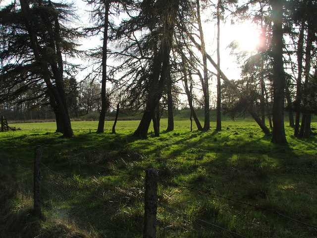
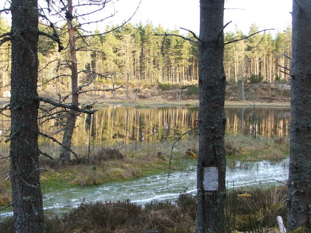
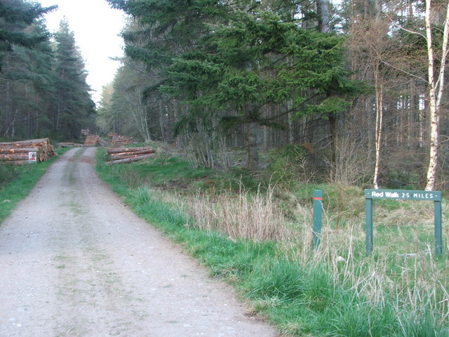
The wood is predominantly composed of native Scottish trees such as birch, oak, and pine, which create a lush and vibrant landscape throughout the year. The dense canopy of these trees provides ample shade and shelter for a myriad of woodland creatures, including red squirrels, badgers, and various bird species.

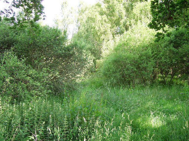
Visitors to Mullans Wood can enjoy a serene and tranquil atmosphere, with the sounds of chirping birds and rustling leaves permeating the air. The forest floor is covered with a carpet of moss, ferns, and wildflowers, adding to the natural beauty of the surroundings.

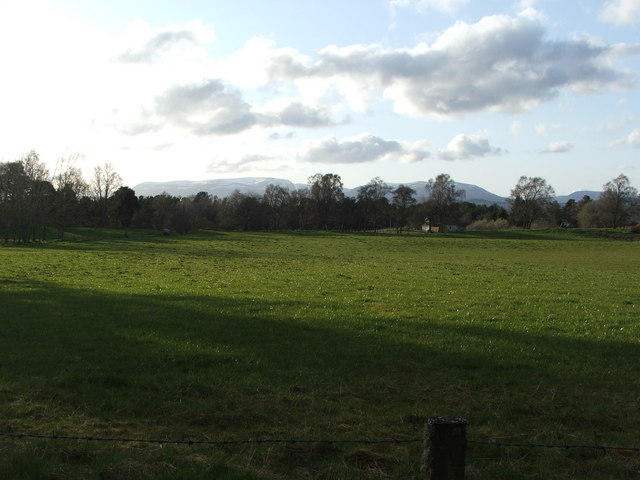
There are well-maintained walking trails that wind through the wood, allowing visitors to explore the diverse ecosystem at their own pace. These paths offer stunning views of the surrounding countryside, with glimpses of rolling hills and distant mountains.

Mullans Wood is also a popular spot for outdoor activities such as hiking, birdwatching, and photography. The wood is known for its abundant birdlife, with species such as the great spotted woodpecker and the Eurasian jay frequently spotted amongst the trees.

Overall, Mullans Wood is a captivating and enchanting forest that showcases the natural beauty of the Ross-shire region. With its diverse array of plants and animals, it offers a unique and immersive experience for nature enthusiasts and a welcome retreat from the bustle of everyday life.

If you have any feedback on the listing, please let us know in the comments section below.
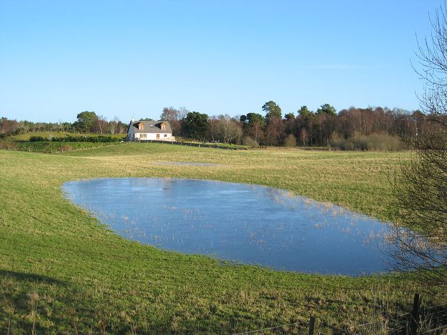
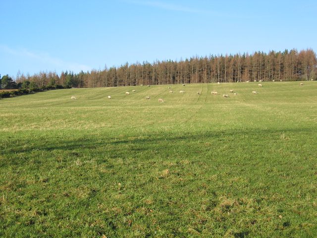
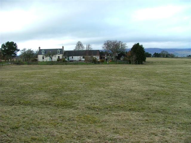
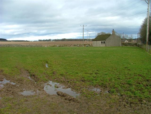
Mullans Wood Images

Images are sourced within 2km of 57.543437/-4.371131 or Grid Reference NH5852. Thanks to Geograph Open Source API. All images are credited.

Approaching the A9 from Mains of Tore
Croftland
Croftland
Croftland
Croftland
Croftland Croftland on this warm spring evening. Ben Wyvis can be seen in the background
Croftland
Croftland on this warm spring evening. Ben Wyvis can be seen in the background
Simon's Loch This loch is named after 3 local boys who drowned here in 1950. The note on the tree reminds us of this.
Simon's Loch
This loch is named after 3 local boys who drowned here in 1950. The note on the tree reminds us of this.
Croftland working croftland with Munlochy Bay in the distance
Croftland
working croftland with Munlochy Bay in the distance
Forestry access track Forestry access track through Monadh Mor
Forestry access track
Forestry access track through Monadh Mor
Timber stacks recent deforestation work leaves these timber stacks piled up ready to be collected.
Timber stacks
recent deforestation work leaves these timber stacks piled up ready to be collected.
Forestry access track Forestry access track and forest walk
Forestry access track
Forestry access track and forest walk
Cattle Shed at Woodend Despite the warm May day, cattle were still being kept indoors here.
Cattle Shed at Woodend
Despite the warm May day, cattle were still being kept indoors here.
Linnie Wood A lot of the Black Isle is wooded. This was moorland on the 1940's map now a very dense scrubby woodland.
Linnie Wood
A lot of the Black Isle is wooded. This was moorland on the 1940's map now a very dense scrubby woodland.
Newton of Ferintosh A section of the field that has been flooded by days of rain is suddenly frozen on a clear, cold morning.
Newton of Ferintosh
A section of the field that has been flooded by days of rain is suddenly frozen on a clear, cold morning.
Field at Muckernich Sheep grazing in front of Mullins Wood.
Field at Muckernich
Sheep grazing in front of Mullins Wood.
West Croft Uplands In the district of Newton of Kinkell.
West Croft Uplands
In the district of Newton of Kinkell.
Mains of Kilcoy Farm Near Kilcoy Castle.
Mains of Kilcoy Farm
Near Kilcoy Castle.
Fields and House At Mains of Kilcoy Farm.
Fields and House
At Mains of Kilcoy Farm.
Redcastle Old Railway Station Now occupied by Nansen Highland, a charity providing day and residential training for young adults with learning disabilities.
Redcastle Old Railway Station
Now occupied by Nansen Highland, a charity providing day and residential training for young adults with learning disabilities.
Easter Muchnich I am told that this farm is known locally as Easter Muckernich, the same as the neighbouring croft in NH5952. The name 'Muchnich' as on the OS map appears to be an error.
Easter Muchnich
I am told that this farm is known locally as Easter Muckernich, the same as the neighbouring croft in NH5952. The name 'Muchnich' as on the OS map appears to be an error.
Show me another place!

Mullans Wood is located at Grid Ref: NH5852 (Lat: 57.543437, Lng: -4.371131)

Unitary Authority: Highland

Police Authority: Highlands and Islands

What 3 Words

///informs.doubt.notion. Near Conon Bridge, Highland

Nearby Locations

Mullans Wood

Related Wikis

Newton of Kinkell

Newton of Kinkell is a scattered crofting township, along with Newton of Ferintosh in Dingwall, Black Isle, Ross-shire, Scottish Highlands and is in the...

Newton of Ferintosh

Newton of Ferintosh is a scattered crofting township on the Black Isle in the Highland council area of Scotland. It is between the villages of Tore and...

Kilcoy Castle

Kilcoy Castle is a 16th-century castle near Muir of Ord and Tore on the Black Isle, in Ross and Cromarty, Scotland. Kilcoy Castle is a ā€˜Zā€™ plan fortalice...

Redcastle railway station

Redcastle railway station served the parish of Killearnan, Ross and Cromarty, Scotland, from 1894 to 1951 on the Fortrose Branch. == History == The station...

Nearby Amenities

Located within 500m of 57.543437,-4.371131
Bus Stop
Bench: yes
Shelter: yes
Lat/Long: 57.541342/-4.3751409
Parking
Operator: Forestry Commission Scotland
Lat/Long: 57.541877/-4.3751603
Power: pole
Lat/Long: 57.5399109/-4.3680255
Power: pole
Lat/Long: 57.5396042/-4.3672224
Power: pole
Lat/Long: 57.5405901/-4.3764967
Power: pole
Lat/Long: 57.5414377/-4.3763674
The data included in this document is from www.openstreetmap.org. The data is made available under ODbL.

Have you been to Mullans Wood?

Leave your review of Mullans Wood below (or comments, questions and feedback).