Craigmaddie Plantation
Wood, Forest in Stirlingshire
Scotland
Craigmaddie Plantation
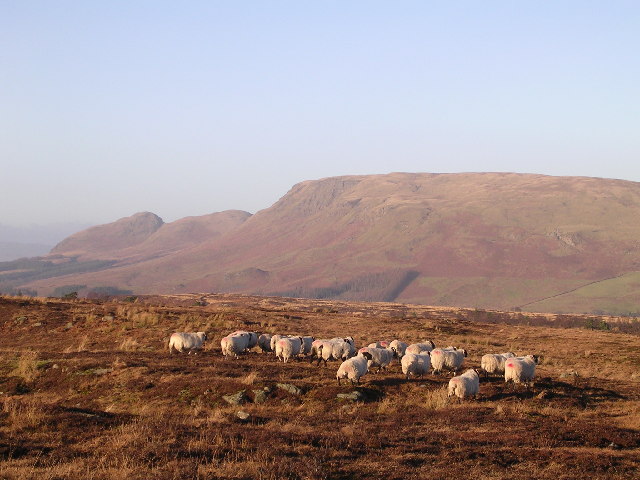
Craigmaddie Plantation is a picturesque woodland located in Stirlingshire, Scotland. Covering an area of approximately 300 acres, it is a popular destination for nature enthusiasts and those seeking tranquility in the midst of nature.
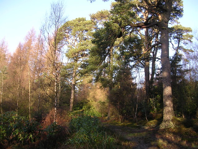
The plantation is primarily composed of coniferous trees, including Scots pine and Norway spruce, which create a dense and vibrant forest ecosystem. These evergreen trees provide a lush green canopy throughout the year, making it an appealing destination for hikers, birdwatchers, and photographers.
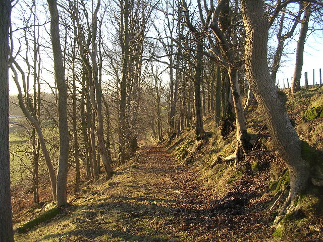
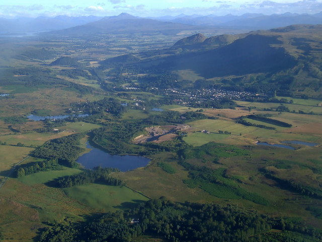
Trails wind their way through the plantation, allowing visitors to explore the woodland at their own pace. The paths are well-maintained and offer scenic views of the surrounding countryside, including the nearby Campsie Fells and Dumgoyne Hill.
Wildlife thrives within Craigmaddie Plantation, with a diverse range of species calling it home. Red squirrels can often be spotted darting between the trees, while various species of birds, including woodpeckers and finches, can be heard chirping and singing throughout the day.
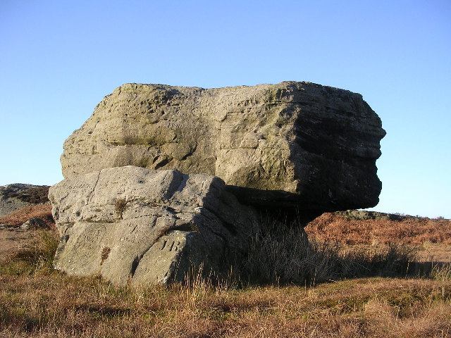
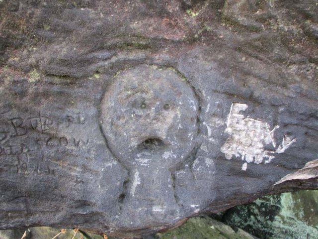
The plantation also boasts a rich history, dating back centuries. It was once part of the historic Craigmaddie Estate, which belonged to the Stirling family. Today, remnants of its past can still be found, including the ruins of a former hunting lodge, adding a touch of intrigue to the woodland's charm.
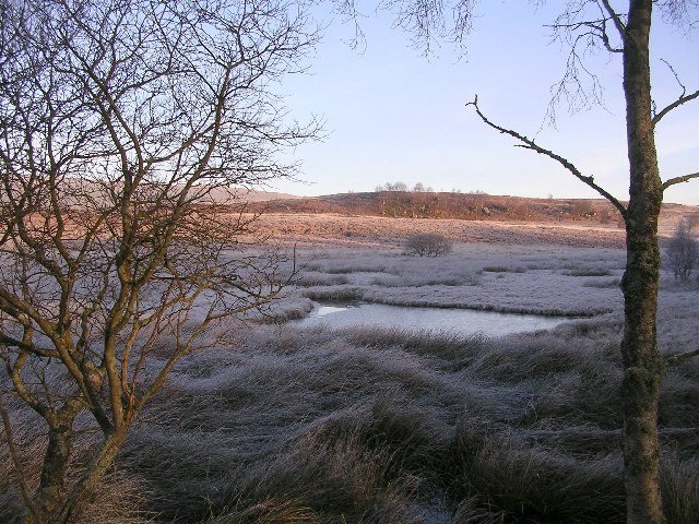
Overall, Craigmaddie Plantation offers a peaceful escape from the hustle and bustle of everyday life. With its beautiful scenery, diverse wildlife, and historical significance, it is a must-visit destination for nature lovers and history enthusiasts alike.
If you have any feedback on the listing, please let us know in the comments section below.
Craigmaddie Plantation Images
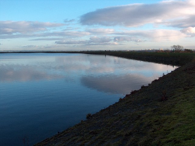
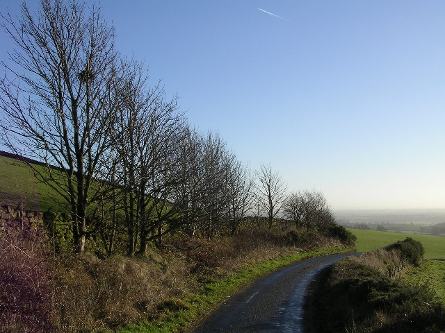
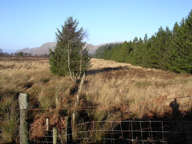
Images are sourced within 2km of 55.96256/-4.28066 or Grid Reference NS5776. Thanks to Geograph Open Source API. All images are credited.


Craigmaddie Plantation is located at Grid Ref: NS5776 (Lat: 55.96256, Lng: -4.28066)
Unitary Authority: East Dunbartonshire
Police Authority: Greater Glasgow
What 3 Words
///dockers.hormones.beaten. Near Strathblane, Stirling
Nearby Locations
Related Wikis
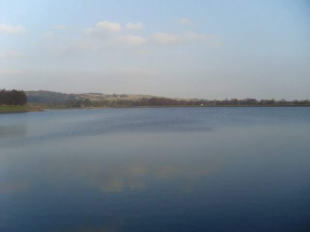
Loch Ardinning
Loch Ardinning (Scottish Gaelic: Loch Àird Dùnain) is a body of freshwater in the district of Stirling in Scotland, lying to the south of the village of...

Baldernock
Baldernock (; Gaelic: Baile D' Earnaig) meaning 'settlement of St Earnaig' (Iain Mac an Táilleir, Sabhall Mór Ostaig) is a small parish in East Dunbartonshire...

Milngavie water treatment works
Milngavie water treatment works (commonly known as The Waterworks) is a Scottish Water-operated water treatment facility located in Milngavie, Scotland...
Mugdock
Mugdock is a hamlet in Stirlingshire, Scotland. It lies to the south of the village of Strathblane, and was in the civil parish. In the past the hamlet...
Nearby Amenities
Located within 500m of 55.96256,-4.28066Have you been to Craigmaddie Plantation?
Leave your review of Craigmaddie Plantation below (or comments, questions and feedback).