Craigmaddie Loch
Lake, Pool, Pond, Freshwater Marsh in Stirlingshire
Scotland
Craigmaddie Loch
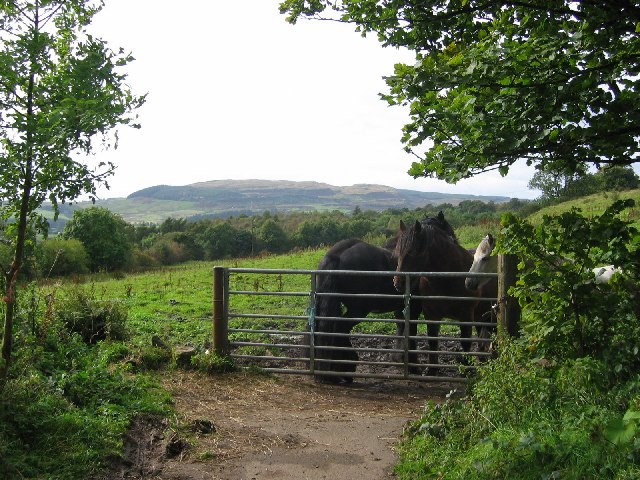
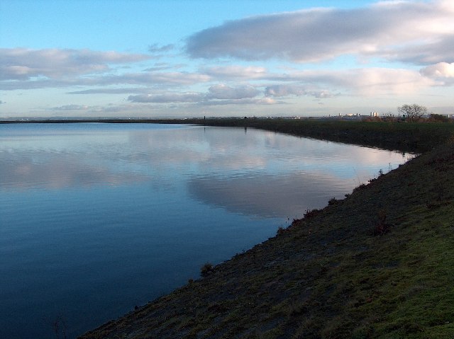
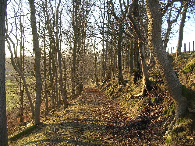
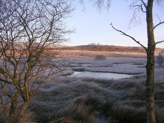
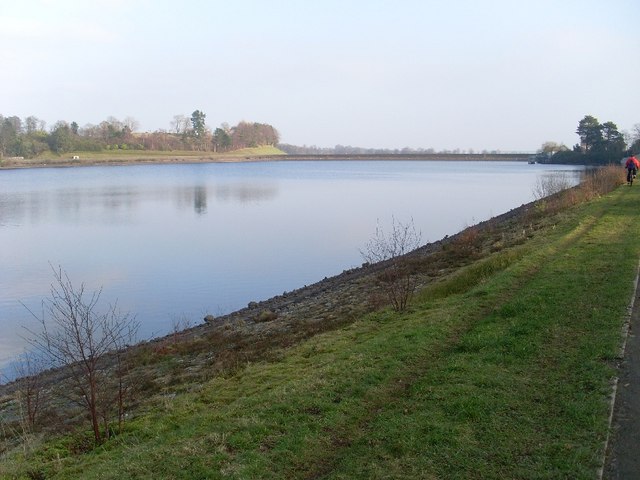
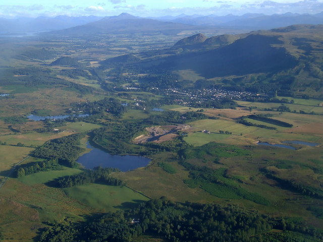
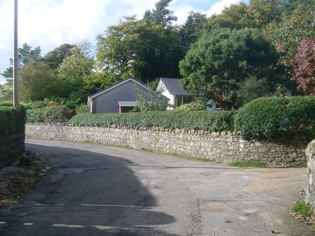
Craigmaddie Loch is a small freshwater loch located in the Stirlingshire region of Scotland. It is situated near the town of Milngavie, approximately 10 miles northwest of Glasgow. The loch covers an area of around 3 hectares and is surrounded by picturesque woodland and rolling hills.
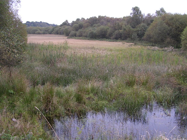
The water in Craigmaddie Loch is sourced from various streams and springs that flow into it. It is a relatively shallow body of water, with an average depth of around 3 meters. The loch is known for its crystal-clear water, which is teeming with a diverse range of aquatic plants and wildlife.
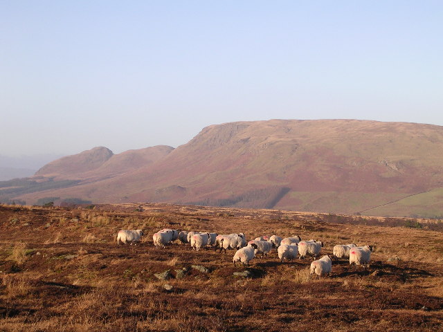
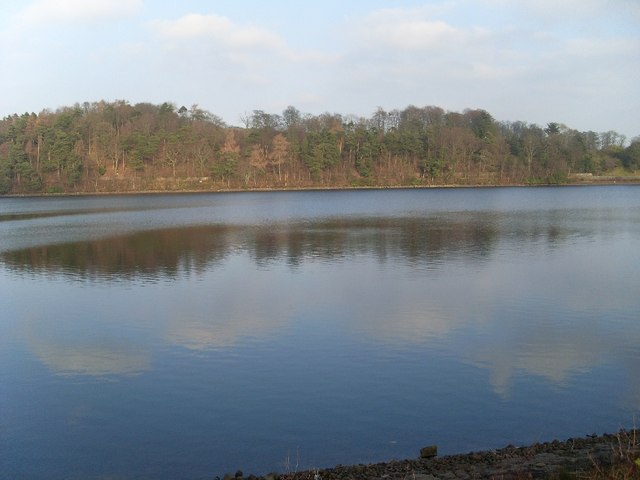
The surrounding area of Craigmaddie Loch is a haven for nature enthusiasts and birdwatchers. It is home to a wide variety of bird species, including herons, swans, ducks, and geese. The loch also supports a healthy population of fish, such as brown trout and perch, making it a popular spot for fishing.
The loch is surrounded by lush marshy vegetation, creating a habitat for various species of plants and animals. Common reed, yellow iris, and water lilies are among the plant species that thrive in the freshwater marsh. These plants provide shelter and food for a range of insects, amphibians, and small mammals.
Craigmaddie Loch offers visitors a tranquil and scenic setting, ideal for leisurely walks, picnics, and birdwatching. It is a popular destination for locals and tourists alike, providing a peaceful escape from the hustle and bustle of nearby urban areas.
If you have any feedback on the listing, please let us know in the comments section below.
Craigmaddie Loch Images
Images are sourced within 2km of 55.963215/-4.2889664 or Grid Reference NS5776. Thanks to Geograph Open Source API. All images are credited.


Craigmaddie Loch is located at Grid Ref: NS5776 (Lat: 55.963215, Lng: -4.2889664)
Unitary Authority: East Dunbartonshire
Police Authority: Greater Glasgow
What 3 Words
///seemingly.engrossed.yield. Near Strathblane, Stirling
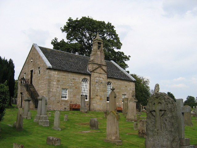
Nearby Locations
Related Wikis
Loch Ardinning
Loch Ardinning (Scottish Gaelic: Loch Àird Dùnain) is a body of freshwater in the district of Stirling in Scotland, lying to the south of the village of...
Mugdock
Mugdock is a hamlet in Stirlingshire, Scotland. It lies to the south of the village of Strathblane, and was in the civil parish. In the past the hamlet...

Milngavie water treatment works
Milngavie water treatment works (commonly known as The Waterworks) is a Scottish Water-operated water treatment facility located in Milngavie, Scotland...
Mugdock Country Park
Mugdock Country Park is a country park and historical site located partly in East Dunbartonshire and partly in Stirling, in the former county of Stirlingshire...

Baldernock
Baldernock (; Gaelic: Baile D' Earnaig) meaning 'settlement of St Earnaig' (Iain Mac an Táilleir, Sabhall Mór Ostaig) is a small parish in East Dunbartonshire...

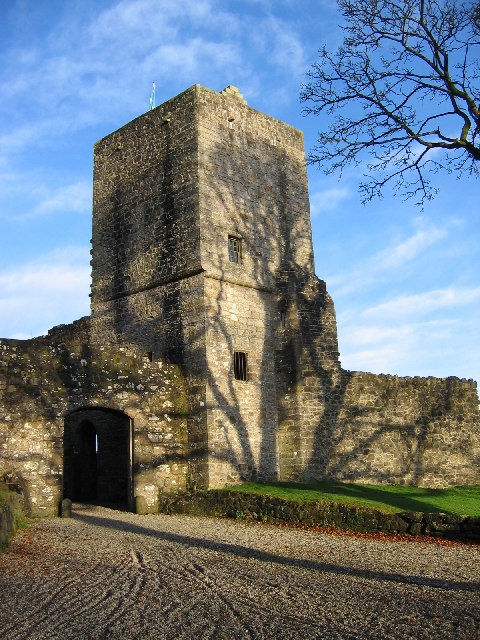
Mugdock Castle
Mugdock Castle was the stronghold of the Clan Graham from the middle of the 13th century. Its ruins are located in Mugdock Country Park, just west of the...

Heatherbank House
Heatherbank House is an early 19th century private house located in Milngavie, Scotland and is one of the oldest buildings in the town. It is the former...

Strathblane railway station
Strathblane railway station served the village of Strathblane, Stirling, Scotland from 1867 to 1951 on the Blane Valley Railway. == History == The station...
Nearby Amenities
Located within 500m of 55.963215,-4.2889664Have you been to Craigmaddie Loch?
Leave your review of Craigmaddie Loch below (or comments, questions and feedback).