Holme Wood

Wood, Forest in Inverness-shire

Scotland

Holme Wood

Beauly Firth from Balcarse with Kessock Bridge in background
Beauly Firth from Balcarse with Kessock Bridge in background Credit: Pip Rolls

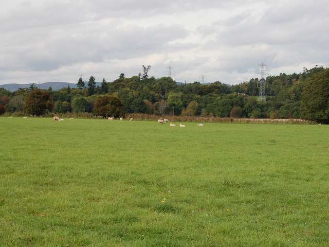
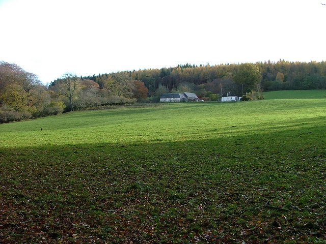
Holme Wood is a picturesque forest located in Inverness-shire, Scotland. Covering a vast expanse of land, it is a popular destination for nature enthusiasts and outdoor adventurers alike.

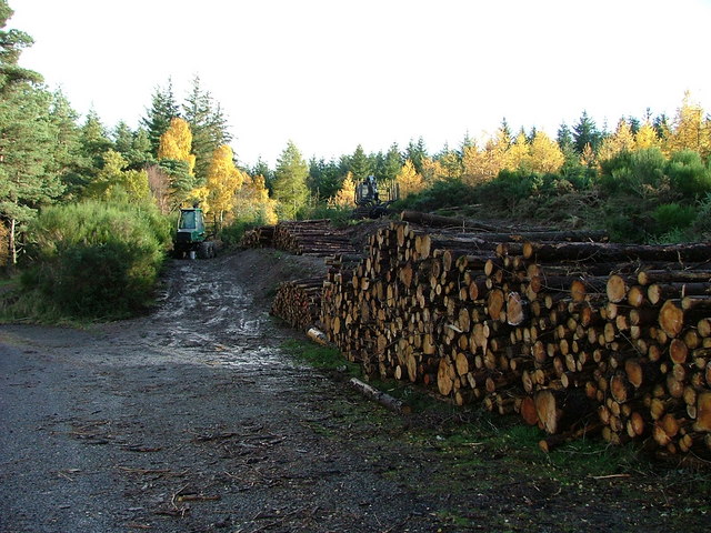
The wood is characterized by its diverse range of plant and animal species, making it a haven for wildlife. Visitors can expect to encounter majestic red deer, elusive pine martens, and a plethora of bird species, including the iconic Scottish crossbill. The forest is also home to an array of native trees, such as Scots pine, birch, and rowan, creating a stunning and vibrant landscape throughout the year.

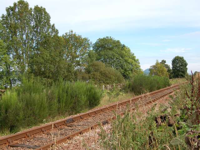
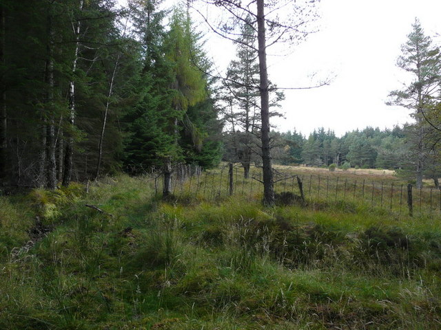
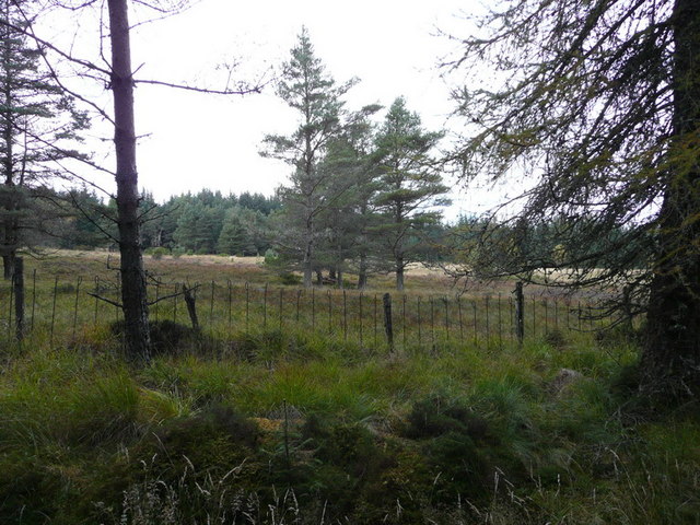
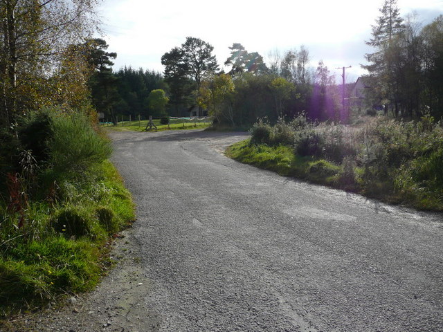
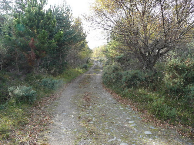
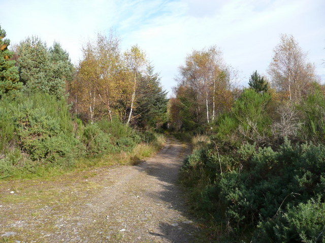
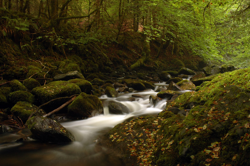
Holme Wood offers a variety of walking trails, catering to all levels of fitness and interests. From leisurely strolls to more challenging hikes, visitors can explore the wood's hidden gems, including tranquil lochs, cascading waterfalls, and breathtaking viewpoints. The trails are well-maintained and signposted, ensuring a safe and enjoyable experience for all.

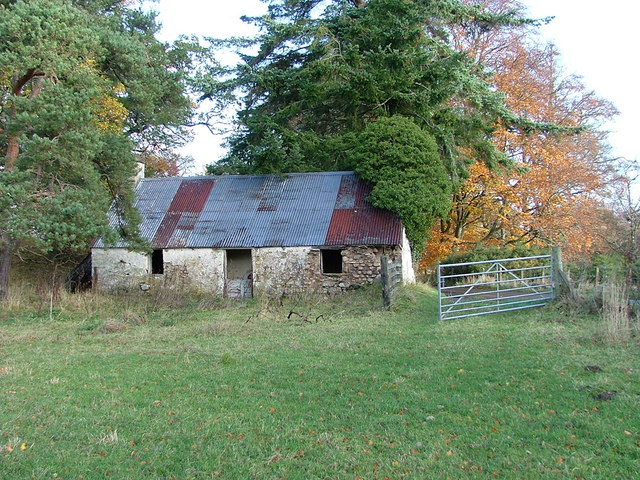
In addition to its natural beauty, Holme Wood is also steeped in history and folklore. Ruins of ancient settlements and burial sites can be found within the forest, providing a glimpse into the area's rich past. Local legends and stories add an element of mystery and intrigue to the wood, making it an intriguing destination for history buffs and curious minds.

Overall, Holme Wood in Inverness-shire offers a captivating blend of natural beauty, wildlife, and cultural heritage. It is a must-visit destination for those seeking a peaceful escape in the heart of Scotland's wilderness.

If you have any feedback on the listing, please let us know in the comments section below.

Holme Wood Images

Images are sourced within 2km of 57.465968/-4.3731466 or Grid Reference NH5744. Thanks to Geograph Open Source API. All images are credited.

Beauly Firth from Balcarse with Kessock Bridge in background
Croft house and building, Altnacardoch Taken from an old croft road this shot shows a typical croft for this area.
Croft house and building, Altnacardoch
Taken from an old croft road this shot shows a typical croft for this area.
Sheep grazings at Moniack
Inchmore Gallery Once a church on the A9. The A9 now runs miles away from here since the Kessock Bridge <a href="https://www.geograph.org.uk/gridref/NH6647">NH6647</a> was opened in 1982, and the church is now a gallery.
Inchmore Gallery
Once a church on the A9. The A9 now runs miles away from here since the Kessock Bridge NH6647 was opened in 1982, and the church is now a gallery.
Railway to the north. The line from Inverness to Dingwall and beyond as it runs westwards along the south side of the Beauly Firth before turning north.
Railway to the north.
The line from Inverness to Dingwall and beyond as it runs westwards along the south side of the Beauly Firth before turning north.
Ardmachdunie Farm Southeast of Moniack Castle
Ardmachdunie Farm
Southeast of Moniack Castle
Timber Operations at The Aird Southwest of Newtonhill.
Timber Operations at The Aird
Southwest of Newtonhill.
Dilapidated Croft Building On the Lentran Estate.
Dilapidated Croft Building
On the Lentran Estate.
Abandoned Project? On closer inspection, this building appeared to be sinking dramatically.
Abandoned Project?
On closer inspection, this building appeared to be sinking dramatically.
Road to Newton House and Balcarse Farm East of Kirkhill village.
Road to Newton House and Balcarse Farm
East of Kirkhill village.
Farm building at Holme Showing a farm building and the junction from the public road into the farm at Holme.
Farm building at Holme
Showing a farm building and the junction from the public road into the farm at Holme.
Craggach Farm Craggach Farm and fields taken from the public road to Newtonhill
Craggach Farm
Craggach Farm and fields taken from the public road to Newtonhill
Forest access track A gate at the entrance to a small area of forest.
Forest access track
A gate at the entrance to a small area of forest.
The edge of the forest clearing The Edge of the Forest clearing
The edge of the forest clearing
The Edge of the Forest clearing
Forest clearing Forest clearing
Forest clearing
Forest clearing
Road junction Road junction at the end of the surfaced road
Road junction
Road junction at the end of the surfaced road
Old road Old road through the forest
Old road
Old road through the forest
Old road Old road through the forest
Old road
Old road through the forest
Show me another place!

Holme Wood is located at Grid Ref: NH5744 (Lat: 57.465968, Lng: -4.3731466)

Unitary Authority: Highland

Police Authority: Highlands and Islands

What 3 Words

///labels.published.styled. Near Beauly, Highland

Nearby Locations

Holme Wood

Related Wikis

Inchmore, Kirkhill

Inchmore (Scottish Gaelic: Innis Mhòr, meaning "Large Island in the Marsh") in the Highland council area of Scotland, just south of the Beauly Firth. It...

Lentran

Lentran is a small hamlet in the Highland council area of Scotland. It is 1.8 miles (3 km) east of Kirkhill and 5 miles (8 km) west of Inverness, on the...

Lentran railway station

Lentran railway station was a railway station serving Lentran on the Inverness and Ross-shire Railway, on the Inverness to Muir of Ord section opened...

Moniack Burn

Moniack Burn (Scottish Gaelic: Mon-ìothag, meaning "Burn of the Corn Moss") is a small river in the Highland council area of Scotland. The stream flows...

Blar Nam Feinne

Blàr nam Fèinne (Battlefield of the Fingalians) on Cnoc na Moine (Hill of the Peat) in The Aird, to the west of Inverness, is the site of the 11th century...

The Aird

The Aird (from Scottish Gaelic: An Àird (IPA: [an ˈaːɾʃt̪]) meaning "The High Place") is an area of the County of Inverness, to the west of the City of...

Kirkhill, Highland

Kirkhill (Scottish Gaelic: Cnoc Mhoire, meaning "Big Hill") is a small village and civil parish in the Highland council area of Scotland. It is 10 miles...

Moniack Castle

Moniack Castle is a 16th-century tower house located 7 miles (11 km) west of Inverness, and just south of Beauly in Highland, Scotland. The castle was...

Nearby Amenities

Located within 500m of 57.465968,-4.3731466
Power: tower
Lat/Long: 57.4698154/-4.3747325
Power: tower
Lat/Long: 57.4698722/-4.3703204
Power: pole
Lat/Long: 57.4651803/-4.3678845
Power: pole
Lat/Long: 57.4647148/-4.3682575
Power: pole
Lat/Long: 57.4640443/-4.3689935
Power: pole
Lat/Long: 57.4634903/-4.3695867
Power: pole
Lat/Long: 57.4629354/-4.3703832
Power: pole
Lat/Long: 57.4625856/-4.3706277
Power: pole
Lat/Long: 57.4619737/-4.3709486
Power: pole
Lat/Long: 57.4672425/-4.3658899
Power: pole
Lat/Long: 57.4688663/-4.3764653
Power: pole
Lat/Long: 57.4671675/-4.3784162
Power: pole
Lat/Long: 57.467716/-4.3777743
Power: pole
Lat/Long: 57.4684209/-4.3773743
Power: pole
Lat/Long: 57.4686395/-4.3766703
Power: pole
Lat/Long: 57.4688483/-4.3760065
Power: pole
Lat/Long: 57.4695314/-4.3757192
Power: pole
Lat/Long: 57.4700456/-4.3750655
Power: pole
Lat/Long: 57.4699326/-4.3738506
Power: pole
Lat/Long: 57.4699995/-4.3706042
Power: pole
Lat/Long: 57.4699669/-4.3719182
Power: pole
Lat/Long: 57.4699444/-4.3729751
The data included in this document is from www.openstreetmap.org. The data is made available under ODbL.

Have you been to Holme Wood?

Leave your review of Holme Wood below (or comments, questions and feedback).