Dichty Wood
Wood, Forest in Stirlingshire
Scotland
Dichty Wood
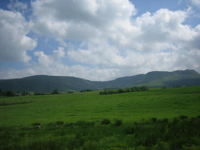
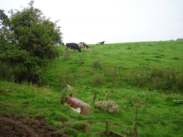
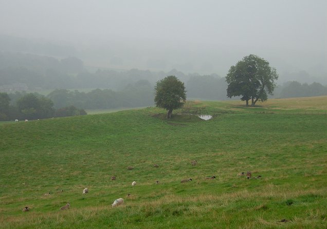
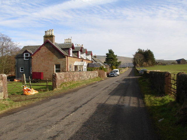
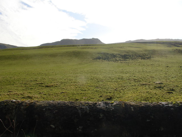
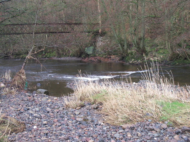
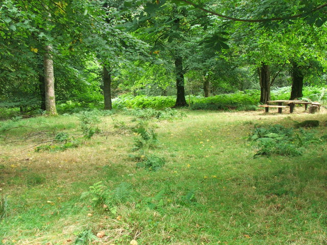
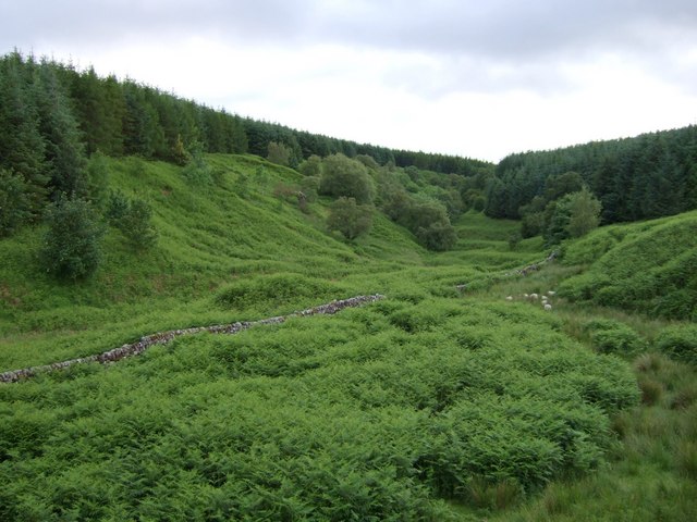
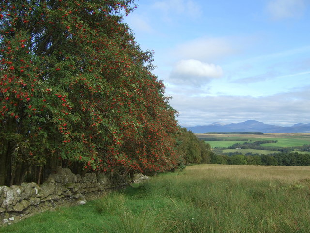
Dichty Wood is a picturesque woodland located in Stirlingshire, Scotland. It is situated near the village of Doune and covers an area of approximately 100 acres. This enchanting forest is a popular destination for nature lovers and outdoor enthusiasts due to its rich biodiversity and serene atmosphere.
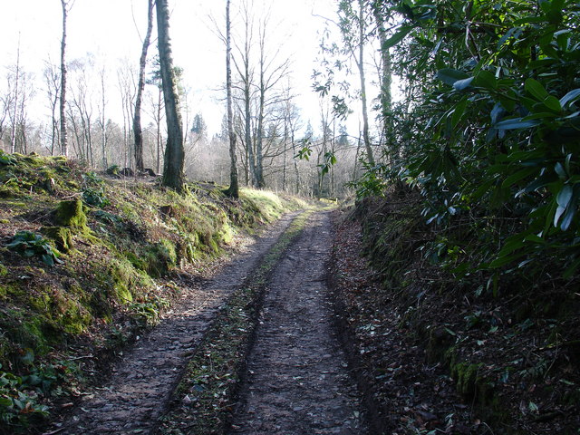
Dichty Wood is predominantly composed of native broadleaf species, including oak, birch, and rowan trees. The dense canopy of the woodland provides shelter for a wide variety of wildlife, such as red squirrels, roe deer, and numerous bird species. The forest floor is adorned with a diverse range of plants and wildflowers, including bluebells, wood sorrel, and primroses, which create a stunning display during the spring months.
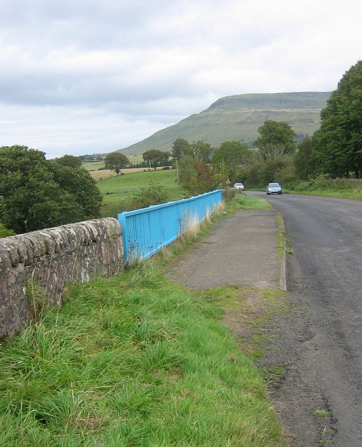
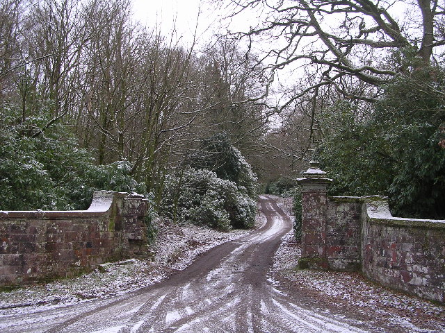
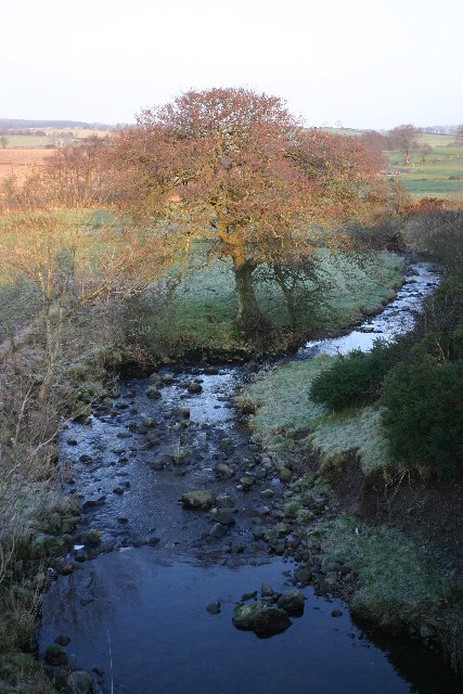
The wood is crisscrossed by a network of well-maintained trails, making it easily accessible for visitors of all ages. These paths lead adventurers through the heart of the forest, offering opportunities to immerse themselves in its natural beauty. Along the way, hikers may encounter small streams and babbling brooks, adding to the tranquility of the surroundings.
Dichty Wood is also steeped in history, with remnants of ancient settlements and archaeological sites scattered throughout the area. These historical features provide a glimpse into the past and add an element of intrigue to the woodland experience.
Overall, Dichty Wood offers a peaceful retreat from the hustle and bustle of everyday life. Its combination of stunning scenery, diverse wildlife, and cultural significance make it a truly captivating destination for those seeking a connection with nature and a deeper understanding of Scotland’s natural heritage.
If you have any feedback on the listing, please let us know in the comments section below.
Dichty Wood Images
Images are sourced within 2km of 56.062119/-4.3025689 or Grid Reference NS5687. Thanks to Geograph Open Source API. All images are credited.

Dichty Wood is located at Grid Ref: NS5687 (Lat: 56.062119, Lng: -4.3025689)
Unitary Authority: Stirling
Police Authority: Forth Valley
What 3 Words
///stud.laws.cyclones. Near Balfron, Stirling
Nearby Locations
Related Wikis

Ballikinrain
Ballikinrain is an independent residential school in Stirling, central Scotland. It is run by CrossReach, a social care outreach arm of the Church of Scotland...

Balfron High School
Balfron High School is a secondary school situated in the village of Balfron, approximately 18 miles (29 km) west of Stirling and 16 miles (26 km) north...

Balfron
Balfron (Scottish Gaelic: Both Fron) is a village in the Stirling council area of Scotland. It is situated near Endrick Water on the A875 road, 18 miles...

Boquhan
Boquhan (pronounced Bowhan) is a hamlet in Stirling, Scotland, sometimes known as Wester Boquhan to distinguish it from the other nearby Boquhan, near...

Earl's Seat
Earl's Seat (578 m) is the highest hill of the Campsie Fells in Central Scotland. It lies on the border of Stirlingshire and East Dunbartonshire in central...

Killearn
Killearn (Scottish Gaelic: Cill Fhearann, from orig. Ceann Fhearann, "Head/End of (the) Land/Territory" – until the 15th century when Ceann was replaced...

Balfron railway station
Balfron railway station was a railway station that served the village of Balfron in Scotland. The station was served by trains on the Strathendrick and...

Fintry
Fintry is a small riverside village in Stirlingshire, central Scotland. It is located 16 miles (26 km) south-west of Stirling and around 19 miles (31 km...
Nearby Amenities
Located within 500m of 56.062119,-4.3025689Have you been to Dichty Wood?
Leave your review of Dichty Wood below (or comments, questions and feedback).