Old House Wood
Wood, Forest in Stirlingshire
Scotland
Old House Wood
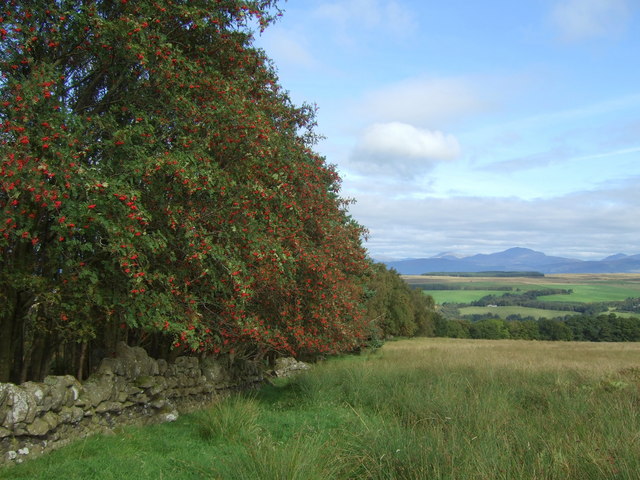
Old House Wood is a picturesque forest located in Stirlingshire, Scotland. Spread over an area of approximately 50 acres, this ancient woodland is a haven for nature lovers and outdoor enthusiasts. The forest is situated near the quaint village of Old House, which lends its name to the wood.
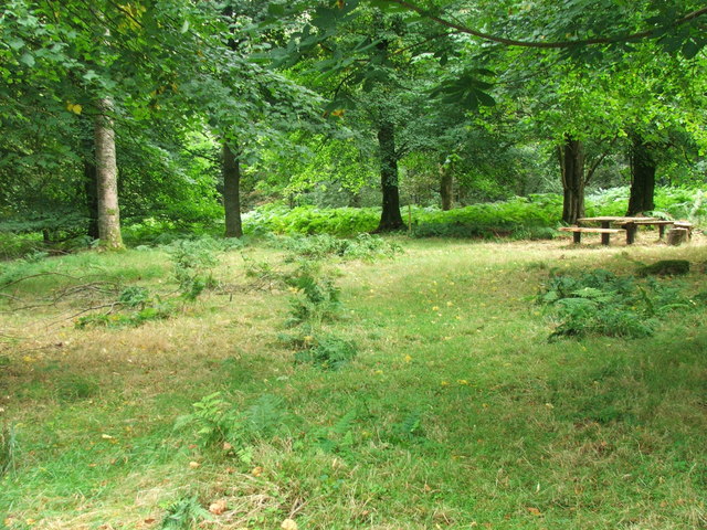
The wood is predominantly composed of native broadleaf trees, including oak, birch, and beech, which have thrived here for centuries. These towering trees provide a dense canopy, creating a cool and tranquil atmosphere within the wood. The forest floor is carpeted with an array of wildflowers, ferns, and mosses, adding to the enchanting beauty of the surroundings.
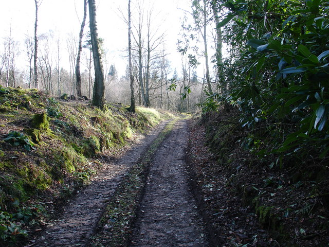
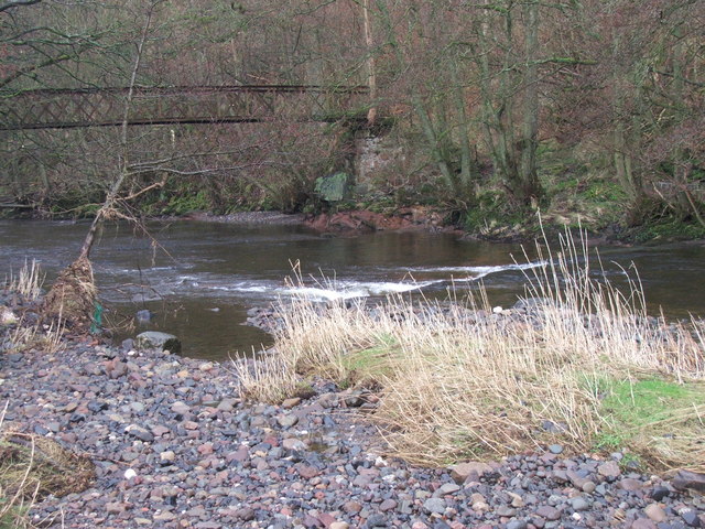
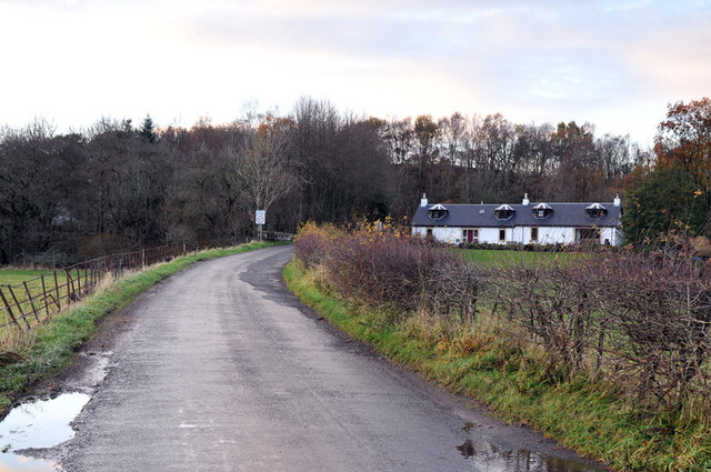
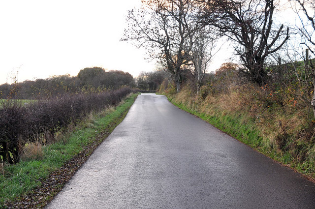
Old House Wood is crisscrossed by a network of well-maintained walking trails, allowing visitors to explore and immerse themselves in the natural wonders that abound. The trails wind through the woodland, leading to hidden streams, peaceful glades, and breathtaking viewpoints. Birdsong fills the air, and lucky visitors may catch a glimpse of elusive woodland creatures such as red squirrels, deer, and even the occasional pine marten.
Managed by a local conservation organization, Old House Wood is protected and cared for to ensure its preservation for future generations. The forest plays an important role in maintaining biodiversity in the region and provides a valuable habitat for countless species of plants and animals.
Whether one seeks a peaceful stroll, a wildlife-spotting adventure, or simply a place to reconnect with nature, Old House Wood is a place of serenity and beauty that will captivate all who visit.
If you have any feedback on the listing, please let us know in the comments section below.
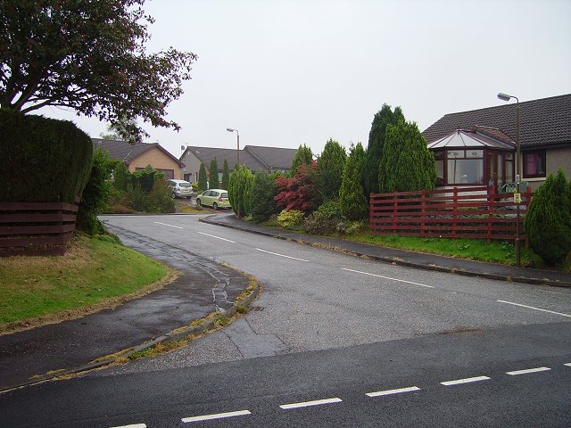
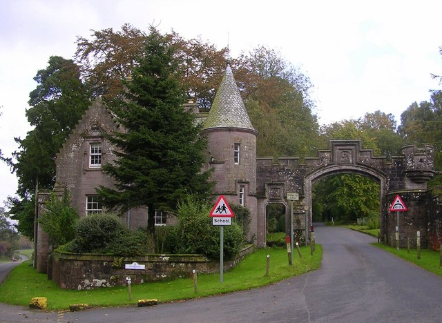
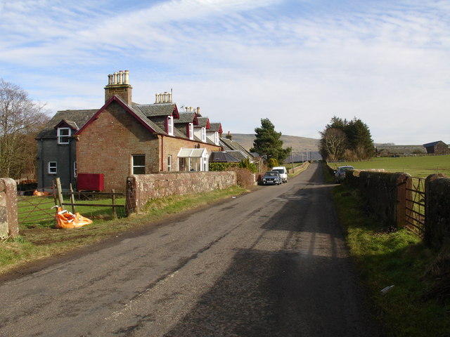
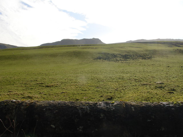
Old House Wood Images
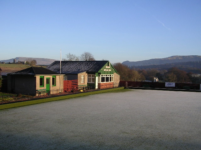
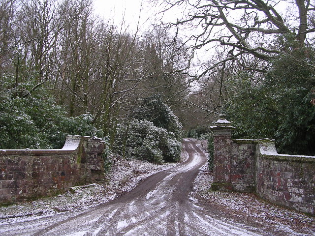
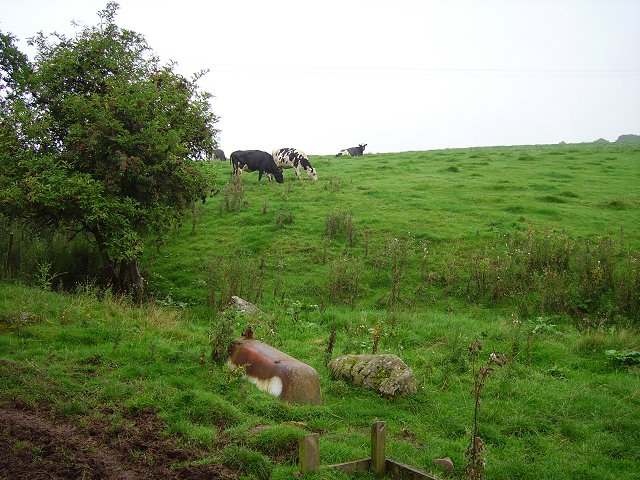
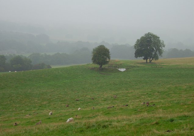
Images are sourced within 2km of 56.062776/-4.3092588 or Grid Reference NS5687. Thanks to Geograph Open Source API. All images are credited.


Old House Wood is located at Grid Ref: NS5687 (Lat: 56.062776, Lng: -4.3092588)
Unitary Authority: Stirling
Police Authority: Forth Valley
What 3 Words
///kindest.washing.deodorant. Near Balfron, Stirling
Nearby Locations
Related Wikis

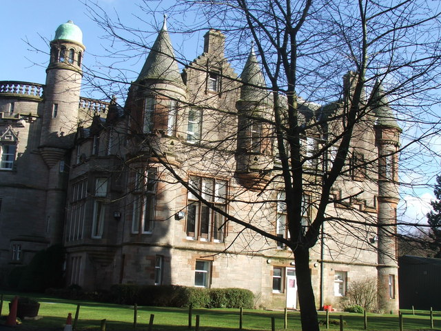
Ballikinrain
Ballikinrain is an independent residential school in Stirling, central Scotland. It is run by CrossReach, a social care outreach arm of the Church of Scotland...

Balfron High School
Balfron High School is a secondary school situated in the village of Balfron, approximately 18 miles (29 km) west of Stirling and 16 miles (26 km) north...

Balfron
Balfron (Scottish Gaelic: Both Fron) is a village in the Stirling council area of Scotland. It is situated near Endrick Water on the A875 road, 18 miles...

Boquhan
Boquhan (pronounced Bowhan) is a hamlet in Stirling, Scotland, sometimes known as Wester Boquhan to distinguish it from the other nearby Boquhan, near...

Earl's Seat
Earl's Seat (578 m) is the highest hill of the Campsie Fells in Central Scotland. It lies on the border of Stirlingshire and East Dunbartonshire in central...

Balfron railway station
Balfron railway station was a railway station that served the village of Balfron in Scotland. The station was served by trains on the Strathendrick and...

Killearn
Killearn (Scottish Gaelic: Cill Fhearann, from orig. Ceann Fhearann, "Head/End of (the) Land/Territory" – until the 15th century when Ceann was replaced...

Campsie Fells
The Campsie Fells (also known as the Campsies; Scottish Gaelic: Monadh Chamaisidh) are a range of hills in central Scotland, stretching east to west from...
Nearby Amenities
Located within 500m of 56.062776,-4.3092588Have you been to Old House Wood?
Leave your review of Old House Wood below (or comments, questions and feedback).