Shankston Wood
Wood, Forest in Ayrshire
Scotland
Shankston Wood
![Site of Cumnock station View SE on the A76 leaving Cumnock, where the ex-Glasgow &amp; South Western line from Ayr via Annbank and Drongan (to the right) - (to the left) Cronberry and Muirkirk used to cross by an overbridge. The station had been on the right: it was closed along with the line Annbank - Drongan - Cronberry from 10/9/51 to passengers, 1/7/59 to goods. (See also <a href="https://www.geograph.org.uk/photo/3233133">NS4024 : Junction at site of Annbank station, 1994</a>). [Apologies for an uninspiring scene].](https://s2.geograph.org.uk/geophotos/03/35/94/3359410_7855e0da.jpg)
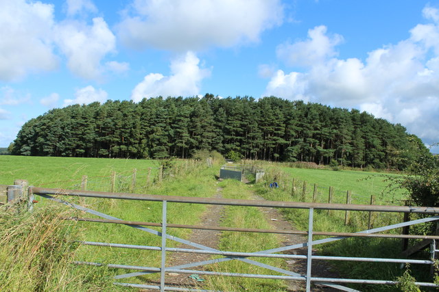
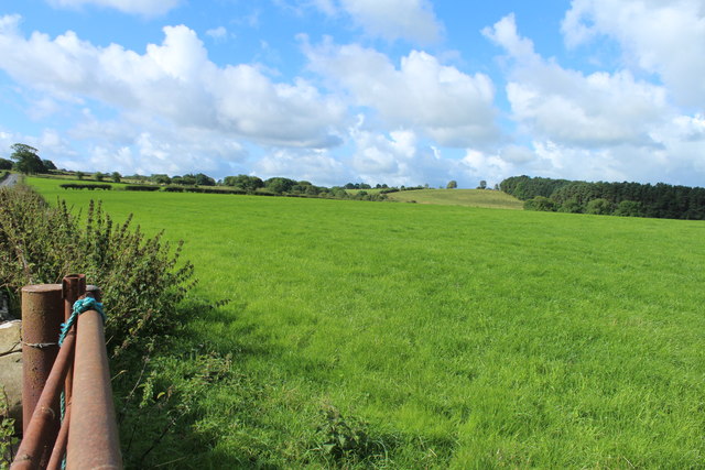
Shankston Wood is a remarkable forest located in Ayrshire, Scotland. Situated near the town of Ayr, this sprawling woodland covers an area of approximately 200 acres and showcases the natural beauty of the region.
The wood is predominantly composed of mixed broadleaf trees, including oak, birch, and beech, which provide a diverse and enchanting landscape. The dense canopy offers shade and shelter, creating a haven for a variety of wildlife, such as red squirrels, badgers, and numerous bird species. The forest floor is adorned with a carpet of wildflowers and ferns, adding to the charm and tranquility of the woodland.
Shankston Wood is a popular destination for nature enthusiasts, walkers, and hikers who can explore its extensive network of well-maintained trails. These paths wind through the forest, offering breathtaking views and opportunities to observe the abundant flora and fauna. The diversity of the wood ensures that each visit provides a unique experience, with the changing seasons bringing a kaleidoscope of colors and scents.
Additionally, the forest is a designated Site of Special Scientific Interest (SSSI) due to its rich ecological value. It is an important habitat for several rare and protected species, including the great crested newt and the pearl-bordered fritillary butterfly. The conservation efforts in Shankston Wood focus on preserving and enhancing these habitats, ensuring the long-term sustainability of the forest's ecosystems.
Overall, Shankston Wood is a captivating natural treasure, offering a serene escape into the heart of Ayrshire's stunning landscape. Its picturesque setting, diverse wildlife, and ecological significance make it a must-visit destination for nature lovers and explorers alike.
If you have any feedback on the listing, please let us know in the comments section below.
Shankston Wood Images
Images are sourced within 2km of 55.447847/-4.2731886 or Grid Reference NS5619. Thanks to Geograph Open Source API. All images are credited.


Shankston Wood is located at Grid Ref: NS5619 (Lat: 55.447847, Lng: -4.2731886)
Unitary Authority: East Ayrshire
Police Authority: Ayrshire
What 3 Words
///deserved.stunt.memo. Near Cumnock, East Ayrshire
Nearby Locations
Related Wikis

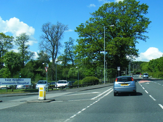
East Ayrshire Community Hospital
East Ayrshire Community Hospital is a community hospital located in Ayr Road, Cumnock, Scotland. It is managed by NHS Ayrshire and Arran. == History... ==

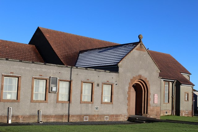
Cumnock Academy
Cumnock Academy was a secondary school in Cumnock, East Ayrshire, Scotland.Notable former pupils include Iona McDonald, Lord Lieutenant of Ayrshire and...

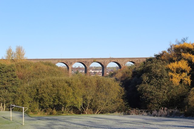
Glaisnock Water
The Glaisnock Water is a tributary of the Lugar Water in East Ayrshire, Scotland. It passes under the Glaisnock Viaduct. The source is located south of...

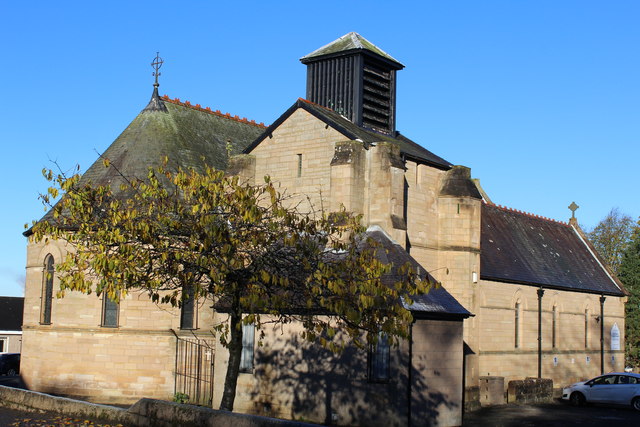
Church of St John, Cumnock (Ayrshire, Scotland)
The Church of St John the Evangelist is in the Scottish town of Cumnock, Ayrshire. Designed by William Burges for the 3rd Marquess of Bute, it was constructed...

Cumnock Town Hall
Cumnock Town Hall is a municipal building in Glaisnock Street, Cumnock, East Ayrshire, Scotland. The structure, which is used as a community events venue...

Cumnock
Cumnock (Scottish Gaelic: Cumnag) is a town and former civil parish located in East Ayrshire, Scotland. The town sits at the confluence of the Glaisnock...

Cumnock (second) railway station
Cumnock railway station was a railway station serving the town of Cumnock, East Ayrshire, Scotland. The station was originally part of the Annbank to Cronberry...

Robert Burns Academy
The Robert Burns Academy (Scottish Gaelic: Acadamaidh Robert Burns) is a secondary school located in Cumnock, East Ayrshire, Scotland, which opened to...
Related Videos

Why No New Videos Lately? Cabin Fever #dumfriesandgalloway #scottishmountains #camping #hiking
Some of yous may be wondering why there is a lack of videos recently, its mainly due to the weather, for weeks (months) it has ...

Ayr & District Rambling Club, Dumfries House to Cumnock Circular, Cumnock, May 1st 2021
After travel restrictions and knee injury I get back to group walking with ADRC as we walk a trail from Dumfries House to Cumnock ...

Loudoun Hill - A Scottish Hill in Ayrshire with some amazing views
scottishcountryside #walking #historicalplaces #getoutside #scotland Instagram ...

Cumnock - East Ayrshire |🏴
CUMNOCK Cumnock is a Victorian looking town in East Ayrshire and lies at the confluence of Lugar Water and Glaisnock Water.
Nearby Amenities
Located within 500m of 55.447847,-4.2731886Have you been to Shankston Wood?
Leave your review of Shankston Wood below (or comments, questions and feedback).