Coille Bheithe

Wood, Forest in Cromartyshire

Scotland

Coille Bheithe

Ford on a track near Gledfield
Ford on a track near Gledfield Credit: Steven Brown

Coille Bheithe, located in Cromartyshire, is a picturesque woodland area known for its abundant natural beauty and diverse wildlife. This enchanting forest spans over several hectares, making it a popular destination for nature enthusiasts and outdoor adventurers alike.

The woodland is primarily composed of native broadleaf trees, with oak, birch, and rowan being the dominant species. These majestic trees create a dense canopy, providing a cool and sheltered environment for a variety of flora and fauna to thrive. The forest floor is adorned with a carpet of vibrant wildflowers, including bluebells, primroses, and wood sorrels, adding to the area's charm.

Coille Bheithe is home to a wide range of wildlife, making it a haven for animal lovers and birdwatchers. Visitors may spot red squirrels gracefully leaping from tree to tree, while roe deer silently graze in the undergrowth. Bird species such as the great spotted woodpecker, tawny owl, and tree pipit can be seen or heard throughout the forest.

The woodland offers numerous walking trails and paths, allowing visitors to explore its beauty at their own pace. These well-maintained paths are suitable for all levels of fitness and provide an opportunity to immerse oneself in the tranquility of nature. Along the trails, informative signage educates visitors about the local flora and fauna, enhancing the overall experience.

Coille Bheithe is a true gem in Cromartyshire, offering a serene escape from the hustle and bustle of everyday life. Whether it's a leisurely stroll, birdwatching, or simply enjoying the peace and quiet of nature, this enchanting forest has something to offer for everyone.

If you have any feedback on the listing, please let us know in the comments section below.

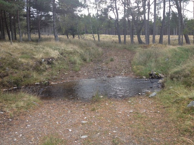
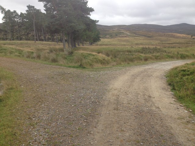
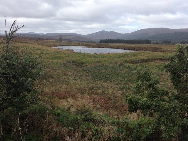
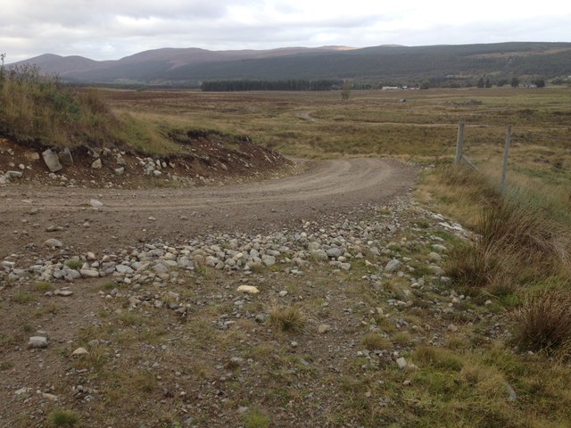
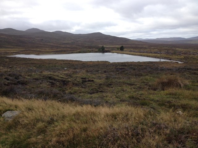
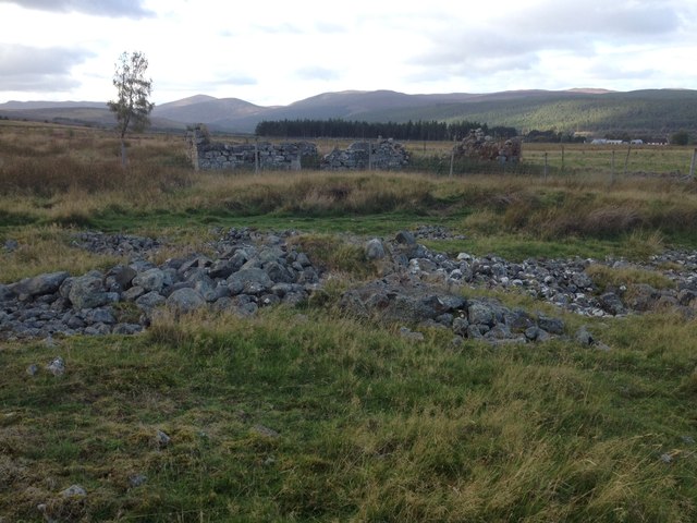
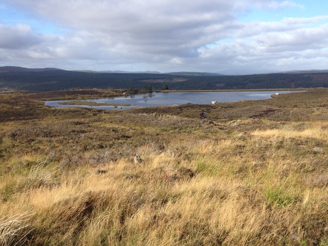
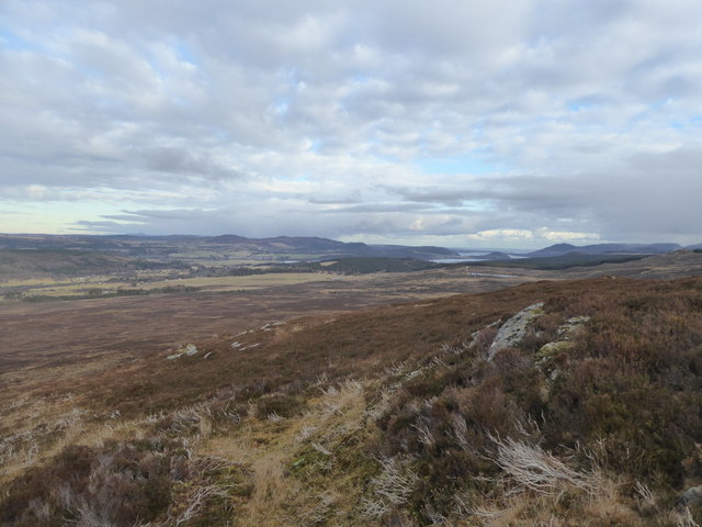
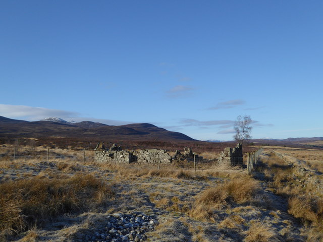
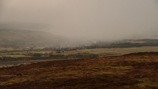
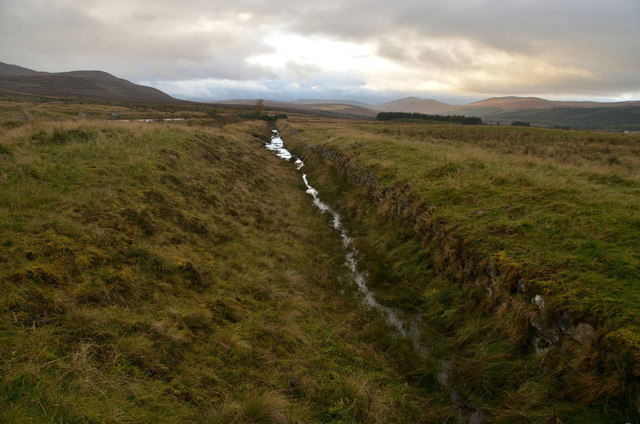
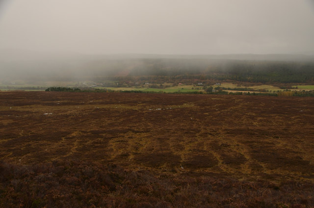
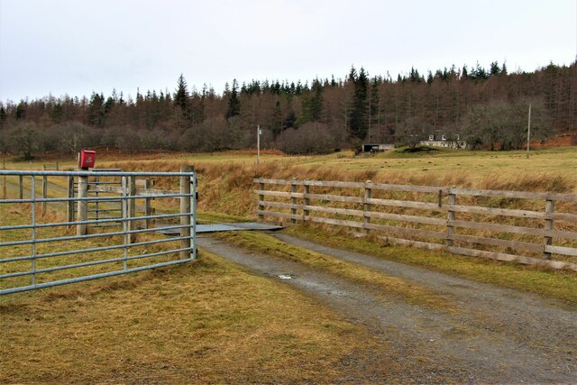
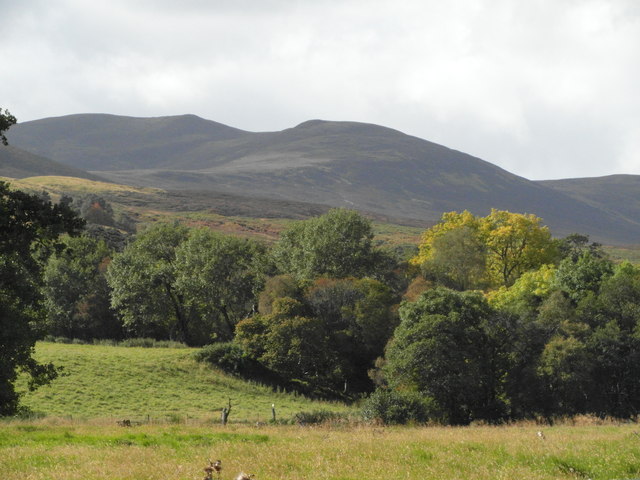
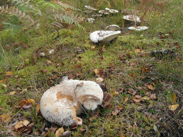
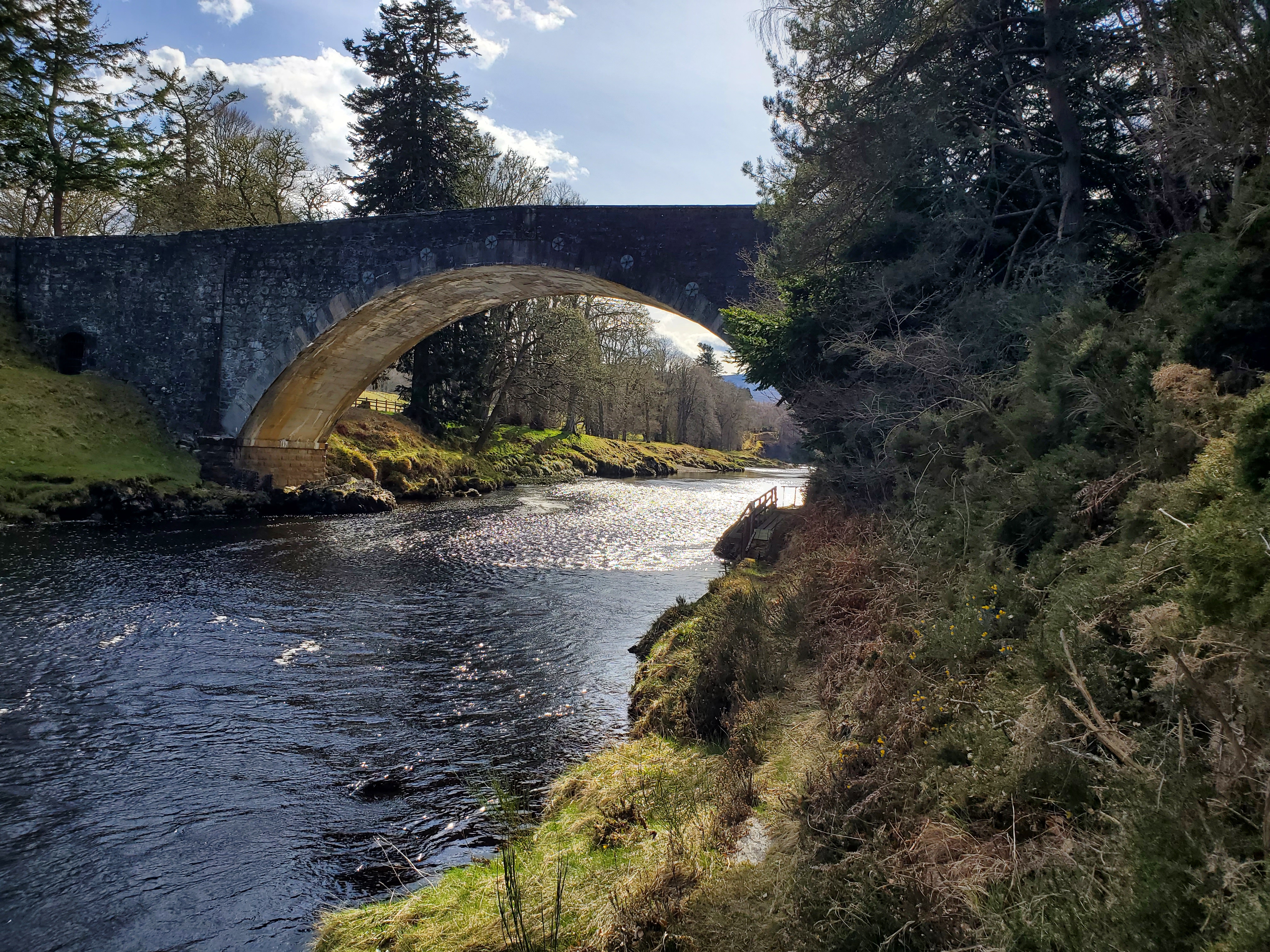
Coille Bheithe Images

Images are sourced within 2km of 57.883708/-4.426306 or Grid Reference NH5690. Thanks to Geograph Open Source API. All images are credited.

Ford on a track near Gledfield
Gravel track near Gledfield
Track junction near Gledfield
Fishing pond near Gledfield
Estate road near Gledfield
Fishing pond on Gledfield Estate
Ruined buildings near Gledfield
Fishing pond on Gledfield Estate
Frozen lochan, Gledfield Estate This is a man-made lochan created by building a dam, from which this shot is taken.   The structure on the far shore is one of a number of hides suggesting that the lochan is used for fishing or the hunting of wildfowl.
Frozen lochan, Gledfield Estate
This is a man-made lochan created by building a dam, from which this shot is taken. The structure on the far shore is one of a number of hides suggesting that the lochan is used for fishing or the hunting of wildfowl.
Flank of Creag na Ceapaich Looking towards the Dornoch Firth
Flank of Creag na Ceapaich
Looking towards the Dornoch Firth
Ruined building by Allt a' Mhuilinn, Gledfield Estate
View East from Creag na Ceapaich, Ross-shire On a rainy autumnal afternoon.  Creag na Ceapaich is a low rise, only 292m high in east Ross-shire, Scottish Highlands.  The valley below is Strath Carron.
View East from Creag na Ceapaich, Ross-shire
On a rainy autumnal afternoon. Creag na Ceapaich is a low rise, only 292m high in east Ross-shire, Scottish Highlands. The valley below is Strath Carron.
Artificial Drainage Ditch, Strath Carron, Ross-shire An artificially straightened drainage channel above Gledfield on the southern side slopes of Strath Carron, Ross-shire, Scottish Highlands.  The suspected purpose is to regulate flow for the grounds of the Gledfield Estate below.
Artificial Drainage Ditch, Strath Carron, Ross-shire
An artificially straightened drainage channel above Gledfield on the southern side slopes of Strath Carron, Ross-shire, Scottish Highlands. The suspected purpose is to regulate flow for the grounds of the Gledfield Estate below.
Strath Carron in the Rain, Ross-shire Rain showers moving in down Strath Carron on a dull autumn afternoon.
Strath Carron in the Rain, Ross-shire
Rain showers moving in down Strath Carron on a dull autumn afternoon.
Entrance to Mid Syall A quiet corner in Strathcarron.
Entrance to Mid Syall
A quiet corner in Strathcarron.
Culeave, Strathcarron
Strathcarron Near Culeave.
Strathcarron
Near Culeave.
A group of fungi, Strathcarron
Show me another place!

Coille Bheithe is located at Grid Ref: NH5690 (Lat: 57.883708, Lng: -4.426306)

Unitary Authority: Highland

Police Authority: Highlands and Islands

What 3 Words

///opened.mats.tell. Near Lairg, Highland

Related Wikis

Dounie

Dounie (Scottish Gaelic: Dùnaidh) is a small remote scattered hamlet in Sutherland, Scottish Highlands and is in the Scottish council area of Highland...

Carron Bridge (Sutherland, Scotland)

The Carron Bridge is a bridge over the River Carron near Ardgay in Sutherland, Scotland. == Description == The Carron Bridge is located near the town of...

Ardgay

Ardgay ard-GY (Scottish Gaelic: Àird Gaoith or Àird Ghaoithe) ["high wind"] is a small Scottish village on the south west shore of the Dornoch Firth,...

Battle of Carbisdale

The Battle of Carbisdale (also known as Invercarron) took place close to the village of Culrain, Sutherland, Scotland on 27 April 1650 and was part of...

Nearby Amenities

Located within 500m of 57.883708,-4.426306
Power: pole
Lat/Long: 57.8864597/-4.4207508
Power: pole
Lat/Long: 57.8861193/-4.4333189
Power: pole
Lat/Long: 57.8860365/-4.4327095
Power: pole
Lat/Long: 57.8861379/-4.4315999
Power: pole
Lat/Long: 57.8862321/-4.4305097
Power: pole
Lat/Long: 57.8863345/-4.4292872
Power: pole
Lat/Long: 57.88626/-4.4280685
Power: pole
Lat/Long: 57.8861772/-4.4270115
Power: pole
Lat/Long: 57.8861131/-4.4261004
Power: pole
Lat/Long: 57.8861752/-4.4250433
Power: pole
Lat/Long: 57.8862476/-4.4239531
Power: pole
Lat/Long: 57.8863169/-4.4229116
Power: pole
Lat/Long: 57.8863956/-4.421656
Power: pole
Lat/Long: 57.8865105/-4.420011
Power: pole
Lat/Long: 57.8816716/-4.4194415
Power: pole
Lat/Long: 57.8820502/-4.4201537
Power: pole
Lat/Long: 57.8825152/-4.4210222
Power: pole
Lat/Long: 57.8827871/-4.4215539
Power: pole
Lat/Long: 57.8832602/-4.4224173
Power: pole
Lat/Long: 57.8832666/-4.4235029
Power: pole
Lat/Long: 57.8832785/-4.4246657
Power: pole
Lat/Long: 57.8832968/-4.4259157
Power: pole
Lat/Long: 57.8833065/-4.4268917
Power: pole
Lat/Long: 57.8833152/-4.4278515
Power: pole
Lat/Long: 57.8833141/-4.4289047
Power: pole
Lat/Long: 57.8834716/-4.4295581
Power: pole
Lat/Long: 57.8836453/-4.4302521
Power: pole
Lat/Long: 57.8838675/-4.4311368
Power: pole
Lat/Long: 57.8840498/-4.4323097
Power: pole
Lat/Long: 57.8841966/-4.4334988
Power: pole
Lat/Long: 57.8847564/-4.4338214
Power: pole
Lat/Long: 57.8853066/-4.4331538
Power: pole
Lat/Long: 57.8857025/-4.4332228
Power: pole
Lat/Long: 57.8824402/-4.4213743
Power: pole
Lat/Long: 57.8820357/-4.4211552
Power: pole
Lat/Long: 57.8816516/-4.4209634
Power: pole
Lat/Long: 57.883805/-4.4343856
Barrier: cattle_grid
Lat/Long: 57.882788/-4.4207339
Passing Place
Lat/Long: 57.8855794/-4.4275936
Passing Place
Lat/Long: 57.8854974/-4.4244215
Passing Place
Lat/Long: 57.8856143/-4.4260549
Passing Place
Lat/Long: 57.8857735/-4.4283317
Passing Place
Lat/Long: 57.8858973/-4.429374
The data included in this document is from www.openstreetmap.org. The data is made available under ODbL.

Have you been to Coille Bheithe?

Leave your review of Coille Bheithe below (or comments, questions and feedback).