Tomangarn Wood
Wood, Forest in Stirlingshire
Scotland
Tomangarn Wood
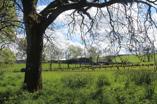
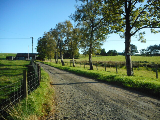
Tomangarn Wood is a picturesque woodland located in Stirlingshire, Scotland. Stretching across an area of approximately 100 acres, it is a popular destination for nature enthusiasts and hikers alike. The woodland is characterized by its dense canopy of native trees, including oak, birch, and beech, which provide a rich habitat for a variety of wildlife.
The wood is crisscrossed by a network of well-maintained trails, making it an ideal spot for leisurely walks and more challenging hikes. These paths offer visitors the opportunity to explore the diverse ecosystem, with its lush undergrowth, wildflowers, and an array of bird species. The tranquil atmosphere and the sound of birdsong create a serene ambiance, making it a perfect escape from the hustle and bustle of everyday life.
Tomangarn Wood is also home to a number of historic features, including remnants of ancient settlements and stone walls. These remnants serve as a reminder of the area's rich history and add to the charm of the wood. Additionally, there are several viewpoints within the wood that offer breathtaking vistas of the surrounding countryside, making it a popular spot for photographers and nature lovers seeking a tranquil retreat.
Overall, Tomangarn Wood is a beautiful and ecologically diverse woodland, offering visitors the chance to immerse themselves in nature and experience the stunning landscapes that Stirlingshire has to offer. Whether it's a leisurely stroll or an adventurous hike, the wood provides a peaceful and idyllic setting for outdoor activities.
If you have any feedback on the listing, please let us know in the comments section below.
Tomangarn Wood Images
Images are sourced within 2km of 56.116234/-4.3139736 or Grid Reference NS5693. Thanks to Geograph Open Source API. All images are credited.


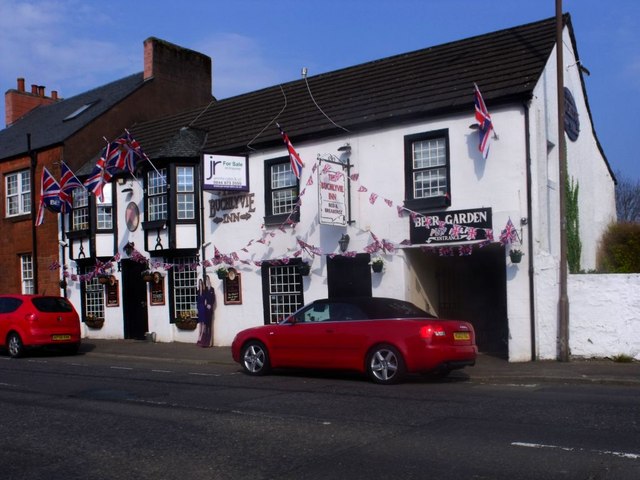
![Truffle and Pillarbox Once the village post office, until recently this building was the Macmillans Bistro and Coffee House. It is now home to Truffle Event Catering. The pillarbox [<a title="https://www.geograph.org.uk/photo/5235644" href="https://www.geograph.org.uk/photo/5235644">Link</a>] is postbox number FK8 63.](https://s0.geograph.org.uk/geophotos/05/23/56/5235636_6e35bd37.jpg)
![George V pillarbox, Buchlyvie The pillarbox is beside the former village post office [<a title="https://www.geograph.org.uk/photo/5235636" href="https://www.geograph.org.uk/photo/5235636">Link</a>], and is postbox number FK8 63.](https://s0.geograph.org.uk/geophotos/05/23/56/5235644_721152ed.jpg)
Tomangarn Wood is located at Grid Ref: NS5693 (Lat: 56.116234, Lng: -4.3139736)
Unitary Authority: Stirling
Police Authority: Forth Valley
What 3 Words
///lengthen.polite.brambles. Near Balfron, Stirling
Nearby Locations
Related Wikis
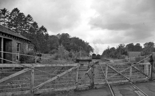
Buchlyvie railway station
Buchlyvie railway station served the village of Buchlyvie, Stirling, Scotland, from 1856 to 1959 on the Forth and Clyde Junction Railway. == History... ==
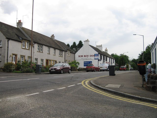
Buchlyvie
Buchlyvie is a village in the Stirling council area of Scotland. It is situated 14 miles (23 km) west of Stirling and 18 miles (29 km) north of Glasgow...

Port of Menteith railway station
Port of Menteith railway station served the village of Port of Menteith, Stirling, Scotland, from 1856 by 1934 on the Forth and Clyde Junction Railway...

Dalmary
Dalmary is a small hamlet in Stirling, Scotland, situated in the civil parish of Drymen. Unlike other settlements in the Drymen civil parish, Dalmary has...
Balfron High School
Balfron High School is a secondary school situated in the village of Balfron, approximately 18 miles (29 km) west of Stirling and 16 miles (26 km) north...

Gartmore House
Gartmore House is a country house and estate in the village of Gartmore, Stirling, Scotland. It was built in the mid-18th century for the Graham family...

A811 road
The A811 is a road in central Scotland. It runs from Stirling to Balloch. == Route == The road starts off in the centre of Stirling, at the Craigs Roundabout...
Arnprior, Stirling
Arnprior is a hamlet in the Stirling council area of Scotland on the A811 about 12 miles west of Stirling and is one of the smallest community council...
Nearby Amenities
Located within 500m of 56.116234,-4.3139736Have you been to Tomangarn Wood?
Leave your review of Tomangarn Wood below (or comments, questions and feedback).