Dykehill Plantation
Wood, Forest in Ayrshire
Scotland
Dykehill Plantation
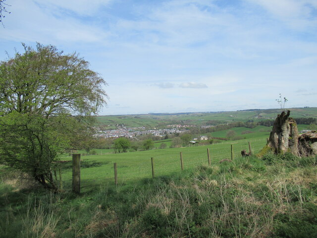
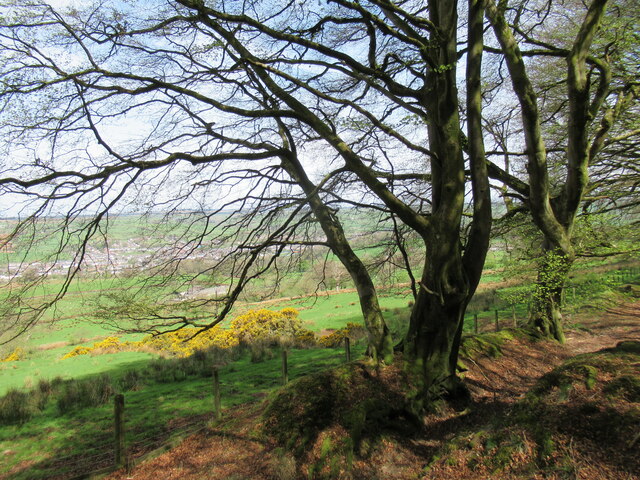
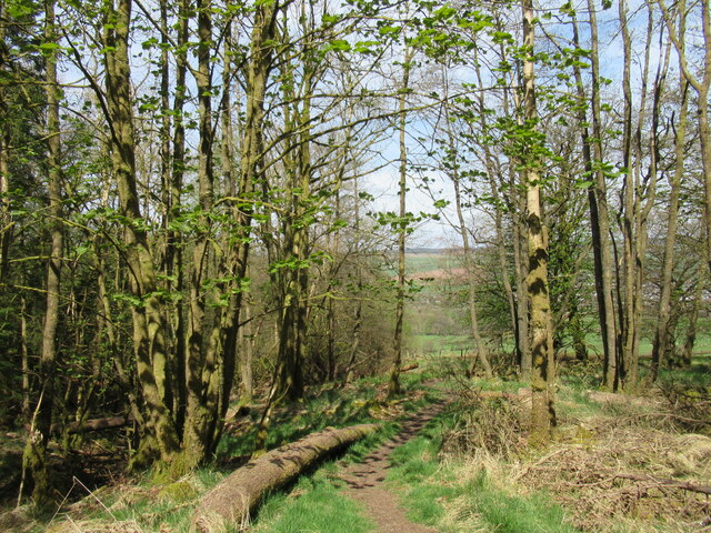
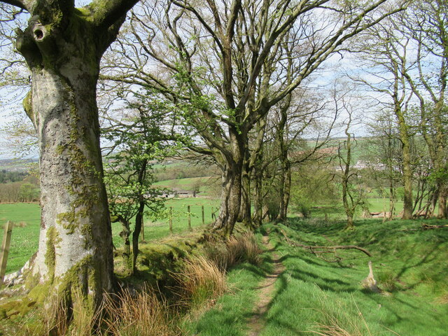
Dykehill Plantation is a wood and forest located in Ayrshire, Scotland. Covering an area of approximately 200 acres, it is nestled in the picturesque countryside, offering a serene and tranquil environment for visitors.
The plantation features a diverse range of tree species, including oak, beech, ash, and birch, creating a lush and vibrant landscape throughout the year. These trees are carefully managed and maintained, ensuring the health and longevity of the woodland.
The wood is home to a variety of wildlife, providing a natural habitat for numerous species. Visitors may spot red squirrels, roe deer, and a wide array of birdlife, making it a popular destination for nature enthusiasts and birdwatchers.
Dykehill Plantation offers several walking trails, allowing visitors to explore the beauty of the woodland at their own pace. These trails are well-marked and range in difficulty, catering to both casual strollers and more experienced hikers.
In addition to its natural beauty, the plantation also plays an important role in carbon sequestration, helping to mitigate the effects of climate change. Sustainable practices are employed to maintain the health and vitality of the woodland, ensuring its long-term sustainability.
Overall, Dykehill Plantation is a haven for those seeking solace in nature. Its stunning landscapes, diverse wildlife, and well-maintained walking trails make it a must-visit destination for anyone looking to connect with the great outdoors in Ayrshire.
If you have any feedback on the listing, please let us know in the comments section below.
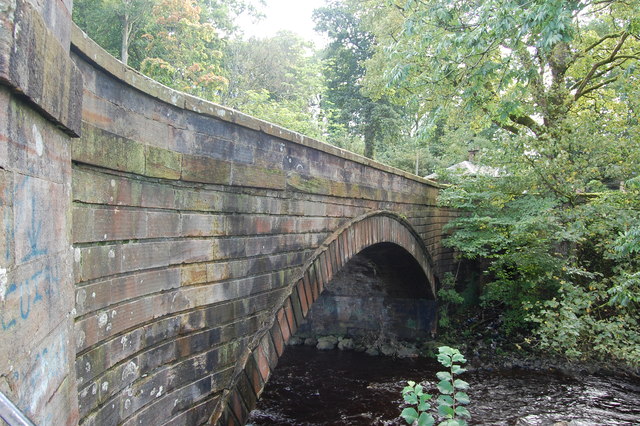
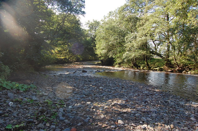
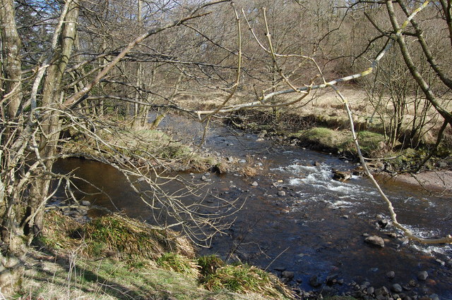
Dykehill Plantation Images
Images are sourced within 2km of 55.59438/-4.2827205 or Grid Reference NS5635. Thanks to Geograph Open Source API. All images are credited.


Dykehill Plantation is located at Grid Ref: NS5635 (Lat: 55.59438, Lng: -4.2827205)
Unitary Authority: East Ayrshire
Police Authority: Ayrshire
What 3 Words
///exam.hiked.somebody. Near Darvel, East Ayrshire
Nearby Locations
Related Wikis

Kilmarnock and Loudoun (UK Parliament constituency)
Kilmarnock and Loudoun is a county constituency of the House of Commons of the Parliament of the United Kingdom. It elects one Member of Parliament (MP...

Darvel F.C.
Darvel Football Club are a Scottish football club based in the town of Darvel, Ayrshire. Nicknamed "The Vale" and formed in 1889, the club play at Recreation...

Darvel Town Hall
Darvel Town Hall is a municipal building in West Main Street, Darvel, East Ayrshire, Scotland. The structure, which is used as a library and a community...
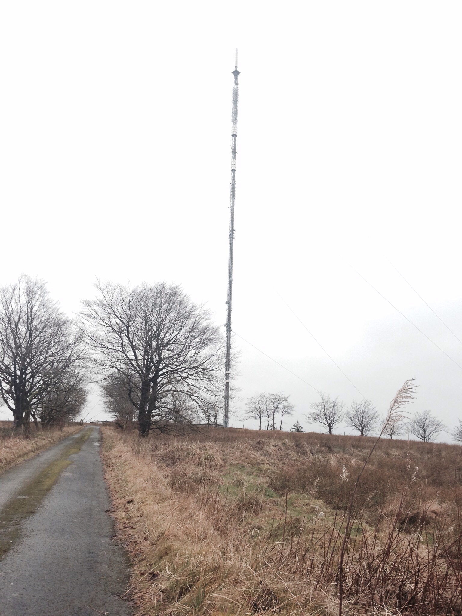
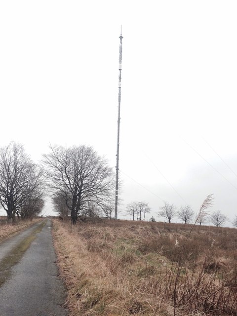
Darvel transmitting station
Darvel transmitting station is a broadcasting and telecommunications facility located near Darvel, East Ayrshire, Scotland (grid reference NS5567234132...
Darvel Music Festival
Darvel Music Festival is a music festival that has been held in the town of Darvel, East Ayrshire, Ayrshire, Scotland, since 2002. The Darvel Music Festival...
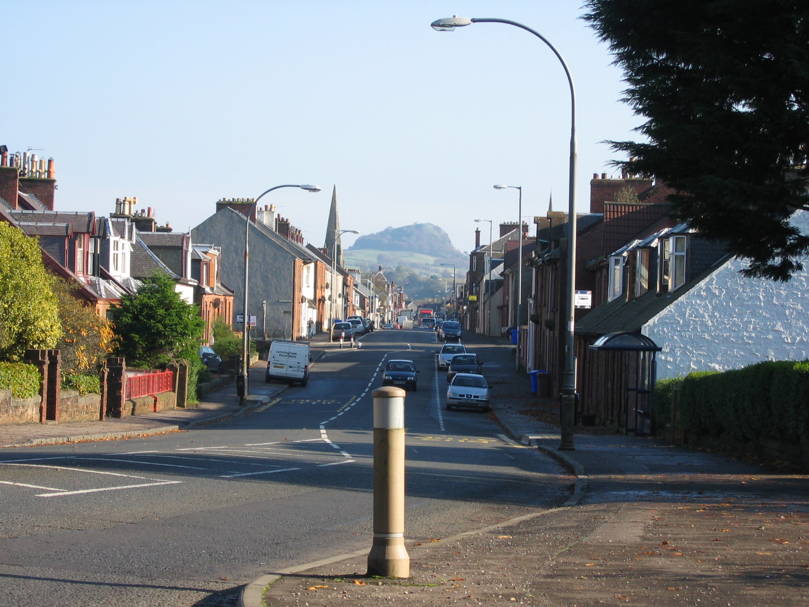
Darvel
Darvel (Scots: Dairvel, Scottish Gaelic: Darbhail) is a small town in East Ayrshire, Scotland. It is at the eastern end of the Irvine Valley and is sometimes...
Priestland
Priestland is a village in East Ayrshire, Scotland. It has a population of 121 (Census 2001) and lies on the A71, around two miles west of Loudoun Hill...

Castle and Lands of Auchruglen
The Castle and Lands of Auchruglen (NS5365436797) was a peel tower in the old district of Kyle held at different times by the Nesbitt and Campbell Clans...
Nearby Amenities
Located within 500m of 55.59438,-4.2827205Have you been to Dykehill Plantation?
Leave your review of Dykehill Plantation below (or comments, questions and feedback).