Deils Wood

Wood, Forest in Renfrewshire

Scotland

Deils Wood

Glendinning Place The Secession Church broke away from the established church in 1733 and established a church of the Burgher Faction, the Cameronian Church in Glendinning Place. Sometime after the church closed, the meeting house became the Old Concert Hall for a time before being converted to a private residence. Click on these links to discover about the churches and Covenanters <a title="https://www.geograph.org.uk/photo/1424798" href="https://www.geograph.org.uk/photo/1424798">Link</a> <a title="https://www.geograph.org.uk/photo/1897780" href="https://www.geograph.org.uk/photo/1897780">Link</a> <a title="https://www.geograph.org.uk/photo/1432415" href="https://www.geograph.org.uk/photo/1432415">Link</a> .
Glendinning Place Credit: Kenneth Mallard

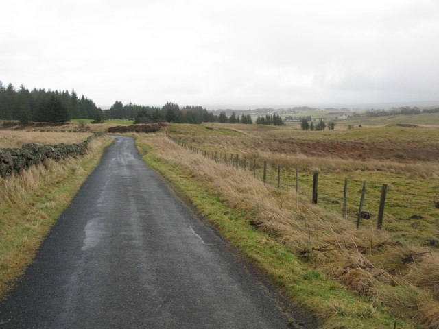
Deils Wood, located in Renfrewshire, Scotland, is a picturesque forest that covers an area of approximately 40 hectares. It is situated near the villages of Howwood and Lochwinnoch and is easily accessible from the surrounding areas.

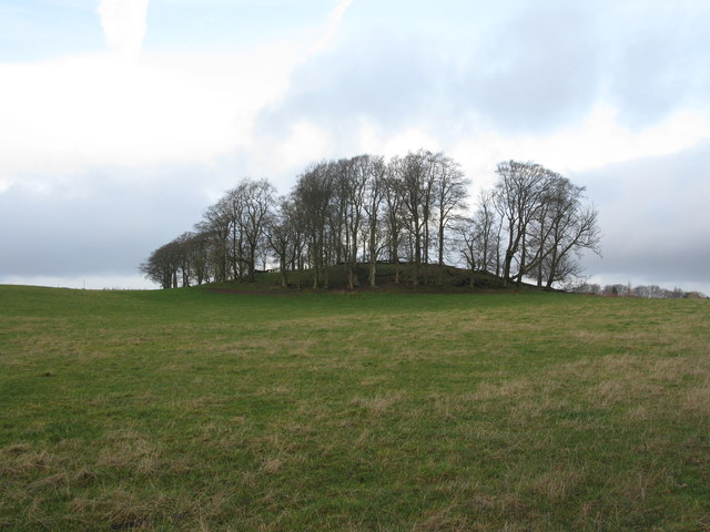
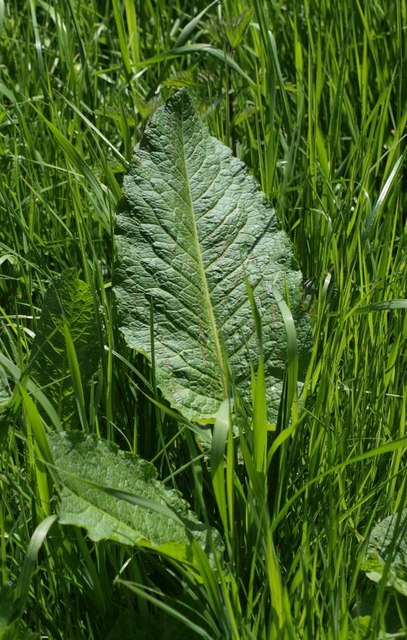
The wood is predominantly composed of mixed broadleaf trees, including oak, beech, and birch, which create a diverse and vibrant ecosystem. The dense canopy provides shelter for a variety of wildlife, including birds, small mammals, and insects. Additionally, the forest floor is carpeted with an array of wildflowers and ferns, adding to its natural beauty.

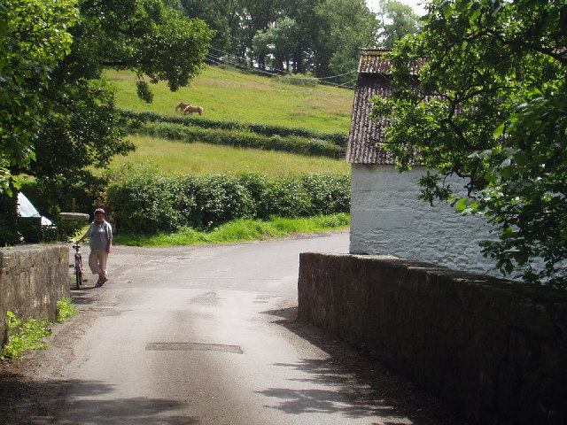
Deils Wood is a popular destination for outdoor enthusiasts and nature lovers. It offers several well-maintained trails that wind through the forest, allowing visitors to explore its enchanting surroundings. These trails are suitable for all ages and fitness levels, making it a great place for families to spend quality time together.

The wood also holds historical significance, as it is believed to have been a hiding place for Covenanters during the 17th century. The Covenanters were a group of Scottish Presbyterians who opposed the religious policies imposed by the monarchy at the time.

Overall, Deils Wood in Renfrewshire is a captivating and tranquil forest that offers a myriad of opportunities for relaxation, wildlife observation, and outdoor recreation. Its natural beauty, diverse flora and fauna, and historical significance make it a must-visit destination for nature enthusiasts and history buffs alike.

If you have any feedback on the listing, please let us know in the comments section below.

Deils Wood Images

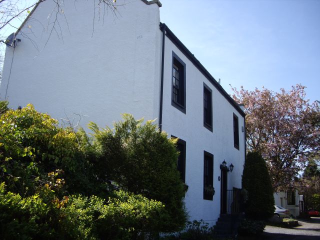
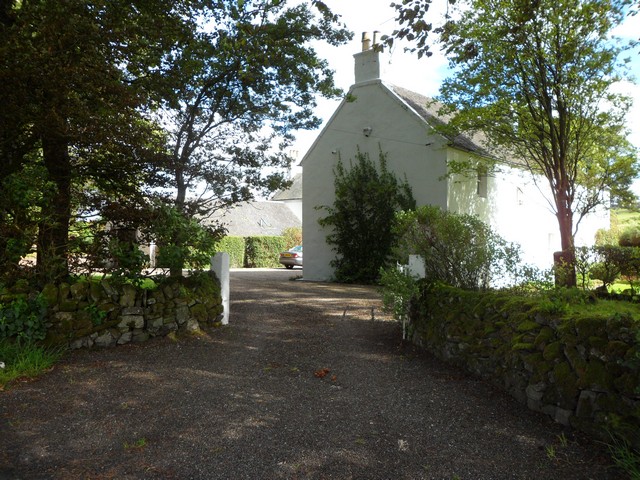
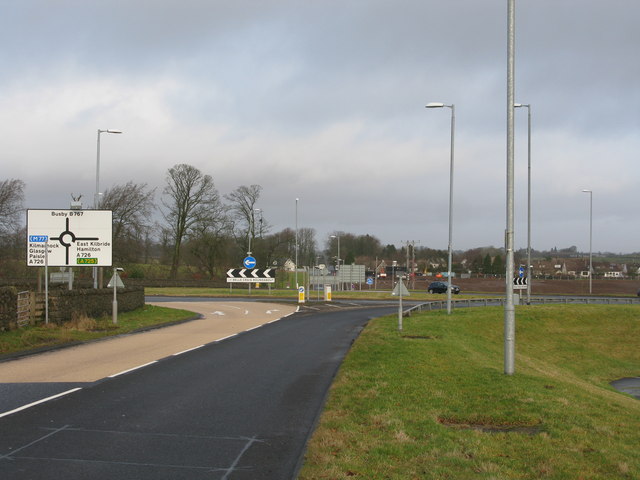
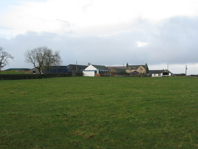
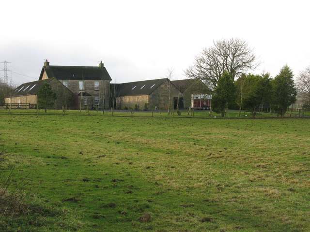
Images are sourced within 2km of 55.754035/-4.2997548 or Grid Reference NS5553. Thanks to Geograph Open Source API. All images are credited.

Glendinning Place The Secession Church broke away from the established church in 1733 and established a church of the Burgher Faction, the Cameronian Church in Glendinning Place. Sometime after the church closed, the meeting house became the Old Concert Hall for a time before being converted to a private residence. Click on these links to discover about the churches and Covenanters <a title="https://www.geograph.org.uk/photo/1424798" href="https://www.geograph.org.uk/photo/1424798">Link</a> <a title="https://www.geograph.org.uk/photo/1897780" href="https://www.geograph.org.uk/photo/1897780">Link</a> <a title="https://www.geograph.org.uk/photo/1432415" href="https://www.geograph.org.uk/photo/1432415">Link</a> .
Glendinning Place
The Secession Church broke away from the established church in 1733 and established a church of the Burgher Faction, the Cameronian Church in Glendinning Place. Sometime after the church closed, the meeting house became the Old Concert Hall for a time before being converted to a private residence. Click on these links to discover about the churches and Covenanters Link Link Link .
West Titwood Near Newton Mearns.
West Titwood
Near Newton Mearns.
Mearns Castle High School Mearns Castle High School is a secondary school situated on Waterfoot Road in Newton Mearns.
Mearns Castle High School
Mearns Castle High School is a secondary school situated on Waterfoot Road in Newton Mearns.
Mearns Castle Trig Point The trig point is situated beside Mearns Castle High School and from here there is a good view over Newton Mearns towards the Campsie Fells in the distance.
Mearns Castle Trig Point
The trig point is situated beside Mearns Castle High School and from here there is a good view over Newton Mearns towards the Campsie Fells in the distance.
Belle Craig Roundabout The intersection of the A726, East Kilbride to Kimarnock road, and the B767, Eaglesham to Busby road, from which the photograph is taken.
Belle Craig Roundabout
The intersection of the A726, East Kilbride to Kimarnock road, and the B767, Eaglesham to Busby road, from which the photograph is taken.
Small copse of trees at Waterfoot At the corner of Glasgow Road (B767) and Floors Road (a minor road).
Small copse of trees at Waterfoot
At the corner of Glasgow Road (B767) and Floors Road (a minor road).
Floors Farm South of Newton Mearns and just north of the minor road Floors Road.
Floors Farm
South of Newton Mearns and just north of the minor road Floors Road.
Bonnyton Farm On Bonnyton Moor Road just south of the A726.
Bonnyton Farm
On Bonnyton Moor Road just south of the A726.
Kirkton Moor Road Heading towards Bonnyton Golf Course with the mist beginning to settle in on the Eaglesham Moors.
Kirkton Moor Road
Heading towards Bonnyton Golf Course with the mist beginning to settle in on the Eaglesham Moors.
Burn on Bonnyton Golf Course Also 4 bridges across the burn.
Burn on Bonnyton Golf Course
Also 4 bridges across the burn.
Bonnyton Golf Course - Hole 1 (Moor Yett) Looking up the 375 yard par 4 Hole 1 from the tee. The tee shot has to be played over a small ornamental loch.
Bonnyton Golf Course - Hole 1 (Moor Yett)
Looking up the 375 yard par 4 Hole 1 from the tee. The tee shot has to be played over a small ornamental loch.
North Kirktonmoor Farm West of Eaglesham on Kirkton Moor Road.
North Kirktonmoor Farm
West of Eaglesham on Kirkton Moor Road.
Road Bridge over the Borland Burn On Humbie Road just outside Eaglesham.
Road Bridge over the Borland Burn
On Humbie Road just outside Eaglesham.
Entrance to Castlehill Farm On Humbie Road near Eaglesham.
Entrance to Castlehill Farm
On Humbie Road near Eaglesham.
Small wood and minor road The small wood sits beside the minor road, just across the fields to the east of Waterfoot.
Small wood and minor road
The small wood sits beside the minor road, just across the fields to the east of Waterfoot.
Dock leaf Rubbing the leaf or juicy stem of a dock on a nettle sting soothes the pain. They were called "docken" when I was wee. I haven't discussed them with anybody for a long time but I expect this is still the case in rural Scotland at least.
Dock leaf
Rubbing the leaf or juicy stem of a dock on a nettle sting soothes the pain. They were called "docken" when I was wee. I haven't discussed them with anybody for a long time but I expect this is still the case in rural Scotland at least.
Dead tree by minor road The farming land around Eaglesham lies a few hundred feet above sea level, enough to offer vistas north across Glasgow to the Campsies and beyond.
Dead tree by minor road
The farming land around Eaglesham lies a few hundred feet above sea level, enough to offer vistas north across Glasgow to the Campsies and beyond.
Entrance to Eaglesham
Show me another place!

Deils Wood is located at Grid Ref: NS5553 (Lat: 55.754035, Lng: -4.2997548)

Unitary Authority: East Renfrewshire

Police Authority: Greater Glasgow

What 3 Words

///played.apple.damp. Near Eaglesham, East Renfrewshire

Related Wikis

A726 road

The A726 road in Scotland is a major route with several distinct sections with different characteristics and names; owing to its stages of construction...

Waterfoot, East Renfrewshire

Waterfoot (Scots: Watterfit) is a village in East Renfrewshire, Scotland. It is on the B767 road between Clarkston and Eaglesham, which are 1 mile (1.6...

Mearns Castle

Mearns Castle is a 15th-century tower house in Newton Mearns, East Renfrewshire, south of Glasgow, Scotland. It is a Category A listed building. The castle...

Mearns Castle High School

Mearns Castle High School is a secondary school situated on Waterfoot Road in Newton Mearns, East Renfrewshire, Scotland roughly seven miles from Glasgow...

Nearby Amenities

Located within 500m of 55.754035,-4.2997548
Power: tower
Lat/Long: 55.75227/-4.3063563
Power: tower
Lat/Long: 55.7526458/-4.3027747
Power: tower
Lat/Long: 55.7531518/-4.2977246
Power: tower
Lat/Long: 55.7537062/-4.292158
Power: pole
Lat/Long: 55.7527021/-4.3045181
Power: pole
Lat/Long: 55.7529824/-4.3047974
Power: pole
Lat/Long: 55.753258/-4.305062
Power: pole
Lat/Long: 55.7535159/-4.3052745
Power: pole
Lat/Long: 55.7528112/-4.3036138
Power: pole
Lat/Long: 55.752912/-4.3027158
Power: pole
Lat/Long: 55.7533377/-4.3016156
Power: pole
Lat/Long: 55.753754/-4.3005321
The data included in this document is from www.openstreetmap.org. The data is made available under ODbL.

Have you been to Deils Wood?

Leave your review of Deils Wood below (or comments, questions and feedback).