Birch Wood

Wood, Forest in Stirlingshire

Scotland

Birch Wood

River Endrick A walk along the Endrick on a Sunday Afternoon
River Endrick Credit: richard newall

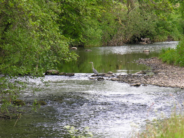
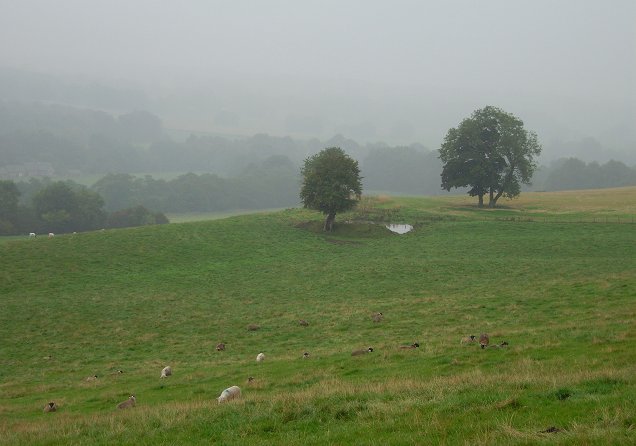
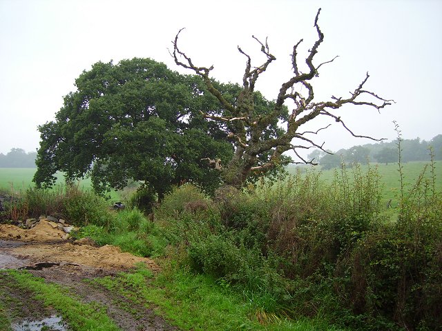
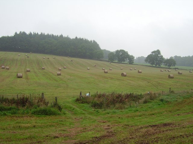
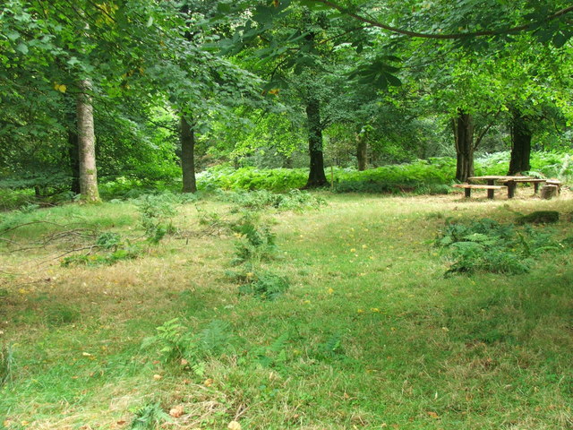
Birch Wood, located in Stirlingshire, Scotland, is a picturesque forest known for its stunning natural beauty and rich biodiversity. Spanning an area of approximately 100 acres, this wood is a popular destination for nature enthusiasts, hikers, and wildlife lovers.

The dominant tree species in Birch Wood is, as the name suggests, the silver birch (Betula pendula). These elegant trees with their distinctive white bark create a tranquil atmosphere as their leaves rustle in the gentle breeze. The wood is also home to a variety of other tree species such as oak, beech, and hazel, creating a diverse and vibrant ecosystem.

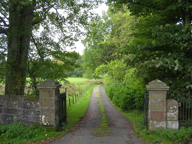
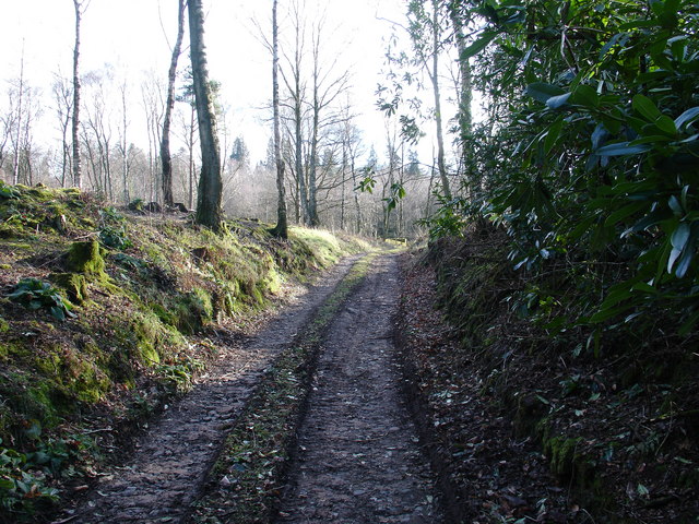
The forest floor of Birch Wood is adorned with a lush carpet of ferns, mosses, and wildflowers, adding to its enchanting appeal. The woodland is crisscrossed with well-maintained footpaths, enabling visitors to explore its hidden corners and discover its natural wonders.

Wildlife thrives in the diverse habitats of Birch Wood. Birdwatchers can spot numerous species, including woodpeckers, owls, and various songbirds. Squirrels, badgers, and rabbits are frequently seen scurrying through the undergrowth, while deer occasionally graze in the more secluded areas of the wood.

Birch Wood offers a peaceful retreat from the bustling city life, providing visitors with an opportunity to reconnect with nature. Whether it's a leisurely stroll, a challenging hike, or simply a moment of solitude, this forest is a haven for those seeking tranquility and natural beauty.

If you have any feedback on the listing, please let us know in the comments section below.
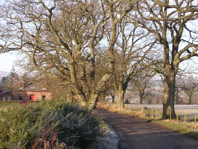
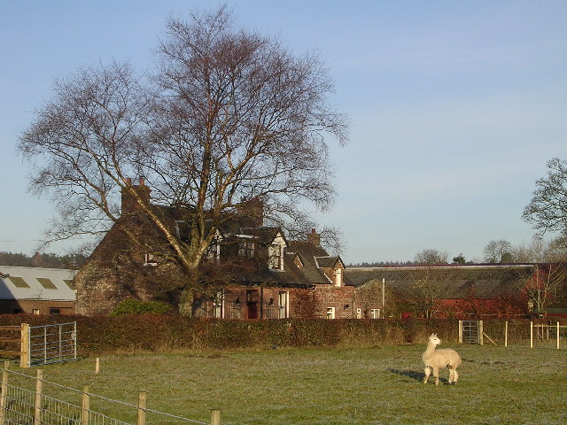
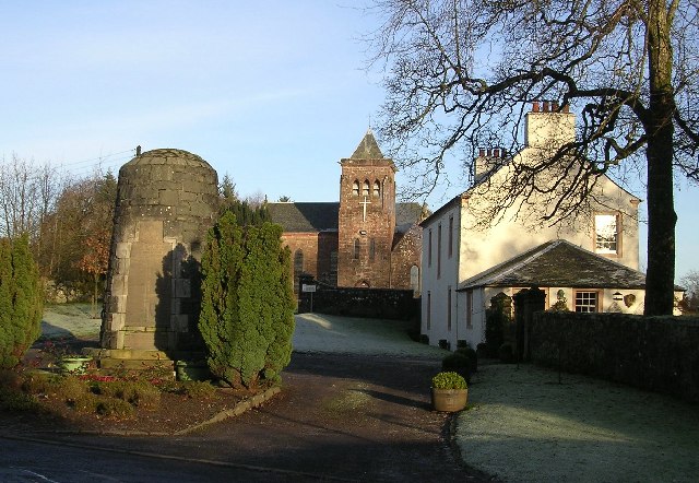
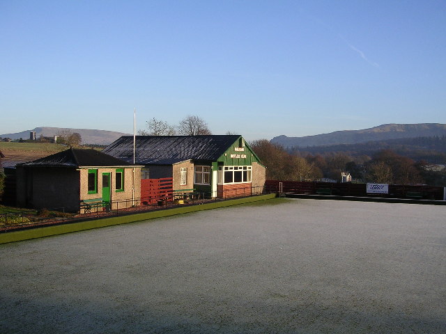
Birch Wood Images

Images are sourced within 2km of 56.06323/-4.3347645 or Grid Reference NS5488. Thanks to Geograph Open Source API. All images are credited.

River Endrick A walk along the Endrick on a Sunday Afternoon
River Endrick
A walk along the Endrick on a Sunday Afternoon
Home Farm Cottage, near Boquhan
Ballochruin Farm plus Llama
Balfron Church and War Memorial
Balfron Bowling Club
Sheep grazing, Kiltrochan Just outside Balfron, and overlooking the Endrick Water, a sheep field with a hanging pond.
Sheep grazing, Kiltrochan
Just outside Balfron, and overlooking the Endrick Water, a sheep field with a hanging pond.
Balfron Bungaloid close on the eastern side of Balfron.
Balfron
Bungaloid close on the eastern side of Balfron.
Dead oak, Balfron Dead tree by a cut off road loop between Balfron and Balfron Station, Stirlingshire.
Dead oak, Balfron
Dead tree by a cut off road loop between Balfron and Balfron Station, Stirlingshire.
Camoquill Round bales left out for a while, near Camoquill Douglas, Balfron.
Camoquill
Round bales left out for a while, near Camoquill Douglas, Balfron.
Beech-lined lane, Balfron
Driveway to Boquhan Old House
Entrance to Ballikinrain Castle School
Balfron Church and war memorial
Rennie's Campsite - Ballikinrain Now just a rutted track, within the grounds of Ballikinrain Castle School, between 1950-1974 this land was used as a tourist caravan and camping site, complete with site shop and outside swimming pool. Evidence of the pool - which was fed by Campsie spring water - can still be seen, however scrub has reclaimed the land and after 50-odd years, nobody will remember what was once there.
Rennie's Campsite - Ballikinrain
Now just a rutted track, within the grounds of Ballikinrain Castle School, between 1950-1974 this land was used as a tourist caravan and camping site, complete with site shop and outside swimming pool. Evidence of the pool - which was fed by Campsie spring water - can still be seen, however scrub has reclaimed the land and after 50-odd years, nobody will remember what was once there.
Katrine Aqueduct at Killearn These four nondescript trapdoors near the main road contain a secret, one that doesn't even appear on the OS map. These service hatches provide access to the underground aqueduct that provides Glasgow's water supply - from Loch Katrine, to Milngavie Water Works. The aqueduct was opened by Queen Victoria at the turn of the century, and was a major engineering feat with most of the work (and route) being invisible (unless you knew where to look).  The next access to the aqueduct southwards is within the village of Blanefield.
Katrine Aqueduct at Killearn
These four nondescript trapdoors near the main road contain a secret, one that doesn't even appear on the OS map. These service hatches provide access to the underground aqueduct that provides Glasgow's water supply - from Loch Katrine, to Milngavie Water Works. The aqueduct was opened by Queen Victoria at the turn of the century, and was a major engineering feat with most of the work (and route) being invisible (unless you knew where to look). The next access to the aqueduct southwards is within the village of Blanefield.
Ballikinrain
Ballikinrain
Forest School Site This was an area within the grounds that we chose for our forest school site.  The picture was taken in Aug 06 before we began to use the area.
Forest School Site
This was an area within the grounds that we chose for our forest school site. The picture was taken in Aug 06 before we began to use the area.
Woodland edge, Boquhan A ditch leaves a waterlogged field and enters a small wood. It was too dark to photograph within the beech wood.
Woodland edge, Boquhan
A ditch leaves a waterlogged field and enters a small wood. It was too dark to photograph within the beech wood.
Show me another place!

Birch Wood is located at Grid Ref: NS5488 (Lat: 56.06323, Lng: -4.3347645)

Unitary Authority: Stirling

Police Authority: Forth Valley

What 3 Words

///worms.long.mammoths. Near Balfron, Stirling

Nearby Locations

Balfron Birch Wood

Related Wikis

Balfron

Balfron (Scottish Gaelic: Both Fron) is a village in the Stirling council area of Scotland. It is situated near Endrick Water on the A875 road, 18 miles...

Balfron High School

Balfron High School is a secondary school situated in the village of Balfron, approximately 18 miles (29 km) west of Stirling and 16 miles (26 km) north...

Boquhan

Boquhan (pronounced Bowhan) is a hamlet in Stirling, Scotland, sometimes known as Wester Boquhan to distinguish it from the other nearby Boquhan, near...
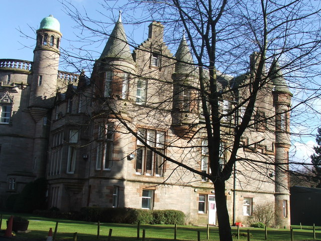
Ballikinrain

Ballikinrain is an independent residential school in Stirling, central Scotland. It is run by CrossReach, a social care outreach arm of the Church of Scotland...

Balfron railway station

Balfron railway station was a railway station that served the village of Balfron in Scotland. The station was served by trains on the Strathendrick and...

Killearn

Killearn (Scottish Gaelic: Cill Fhearann, from orig. Ceann Fhearann, "Head/End of (the) Land/Territory" – until the 15th century when Ceann was replaced...

A81 road

The A81 road is a major road in Scotland. It runs from Glasgow to Callander via Woodside and Maryhill within the city, as well as Bearsden, Milngavie and...

Killearn railway station

Killearn railway station served the village of Killearn, Stirling, Scotland from 1882 to 1951 on the Blane Valley Railway. == History == The station opened...

Nearby Amenities

Located within 500m of 56.06323,-4.3347645
Turning Circle
Lat/Long: 56.0665421/-4.3393157
Fuel
ESSO
Brand: Esso
Brand Wikidata: Q867662
Brand Wikipedia: en:Esso
Lat/Long: 56.0667049/-4.3360193
Balfron Bowling Club
Leisure: pitch
Sport: bowls
Lat/Long: 56.0663165/-4.336223
Bus Stop
Bench: no
Bus: yes
Public Transport: platform
Shelter: no
Lat/Long: 56.0651682/-4.3388841
Ford: yes
Lat/Long: 56.0605794/-4.3374222
Power: pole
Lat/Long: 56.0594674/-4.3372817
Power: pole
Lat/Long: 56.0594919/-4.3380744
Power: pole
Lat/Long: 56.0593704/-4.3388275
Power: pole
Lat/Long: 56.0598902/-4.3399026
Power: pole
Lat/Long: 56.0603982/-4.3409945
Power: pole
Lat/Long: 56.0631402/-4.3427118
Power: pole
Lat/Long: 56.0633749/-4.3412246
Power: pole
Lat/Long: 56.0636061/-4.3397206
Power: pole
Lat/Long: 56.0638222/-4.3382083
Power: pole
Lat/Long: 56.0640359/-4.3368173
Power: pole
Lat/Long: 56.0642975/-4.335123
Power: pole
Lat/Long: 56.0647727/-4.3338868
Power: pole
Lat/Long: 56.06522/-4.3327551
Power: pole
Lat/Long: 56.064949/-4.338543
Power: pole
Lat/Long: 56.0646233/-4.3368466
Power: pole
Lat/Long: 56.0641024/-4.3341378
Power: pole
Lat/Long: 56.0639705/-4.3334036
Power: pole
Lat/Long: 56.0636727/-4.3327865
Power: pole
Lat/Long: 56.0631028/-4.3317595
Power: pole
Lat/Long: 56.0625598/-4.3307805
Power: pole
Lat/Long: 56.0620028/-4.3298037
Power: pole
Lat/Long: 56.0614387/-4.3287892
Power: pole
Lat/Long: 56.0653087/-4.3314499
Power: pole
Lat/Long: 56.0653881/-4.3300087
Power: pole
Lat/Long: 56.0654605/-4.3286219
Power: pole
Lat/Long: 56.0655983/-4.3281157
Power: pole
Lat/Long: 56.0589932/-4.3353322
Grit Bin
Colour: yellow
Material: plastic
Lat/Long: 56.0670383/-4.3354222
The data included in this document is from www.openstreetmap.org. The data is made available under ODbL.

Have you been to Birch Wood?

Leave your review of Birch Wood below (or comments, questions and feedback).