Garchell Wood
Wood, Forest in Stirlingshire
Scotland
Garchell Wood
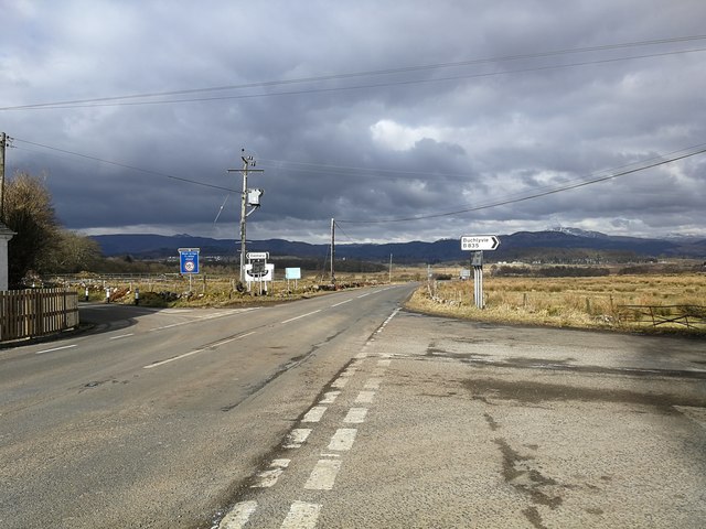
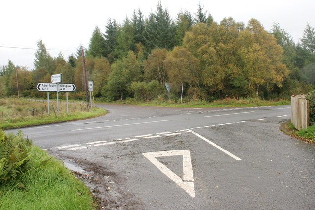
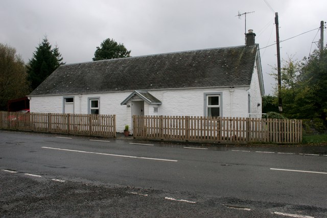
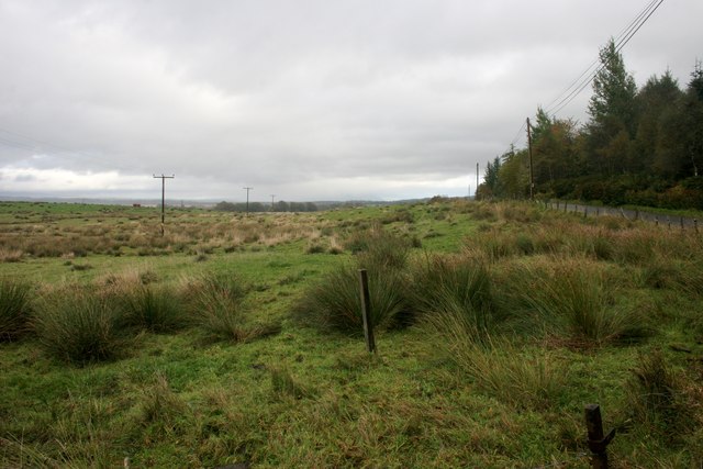
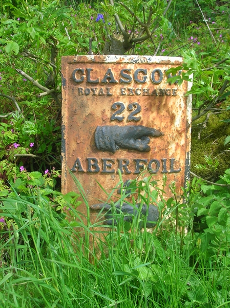
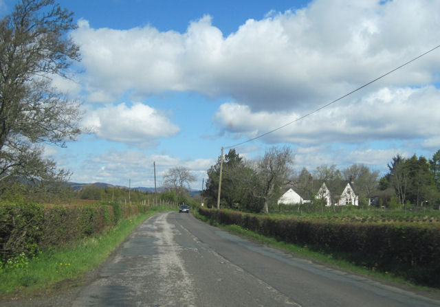
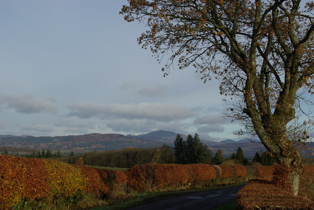
Garchell Wood is a picturesque woodland located in Stirlingshire, Scotland. Covering an area of approximately 100 hectares, it is a popular destination for nature enthusiasts and outdoor adventurers. The wood is situated near the village of Gargunnock, about 8 miles west of Stirling.
The woodland is predominantly composed of native broadleaf trees, including oak, birch, and beech. These towering trees create a dense canopy that provides shelter and habitat for a variety of wildlife species. Visitors to Garchell Wood can expect to encounter an array of birds, such as woodpeckers, owls, and various songbirds, as well as small mammals like squirrels, rabbits, and deer.
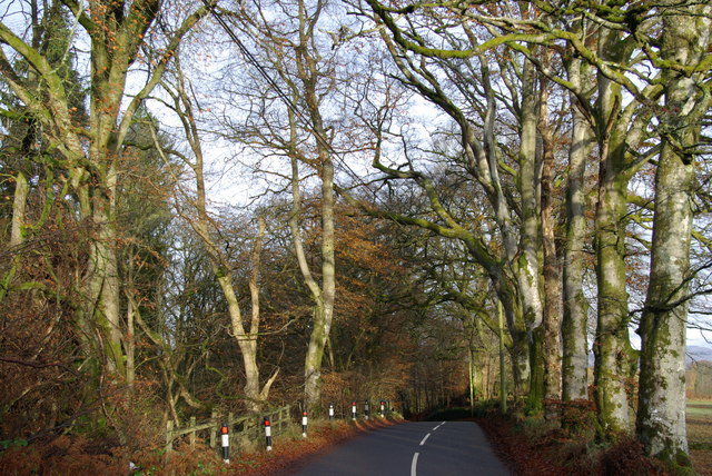
There are several well-maintained trails that weave through the wood, offering visitors the opportunity to immerse themselves in the tranquil surroundings. These paths are suitable for both walking and cycling, making Garchell Wood an ideal destination for families and outdoor enthusiasts of all ages.
The wood also features a picnic area, allowing visitors to relax and enjoy a meal amidst the natural beauty. Additionally, there are informative signs throughout the wood, providing educational insights into the local flora and fauna.
Garchell Wood is open to the public year-round, and admission is free. It is advisable to wear appropriate footwear, as some trails can be muddy, particularly after rainfall. Whether you are seeking a peaceful stroll or a chance to connect with nature, Garchell Wood offers a serene and enchanting experience.
If you have any feedback on the listing, please let us know in the comments section below.
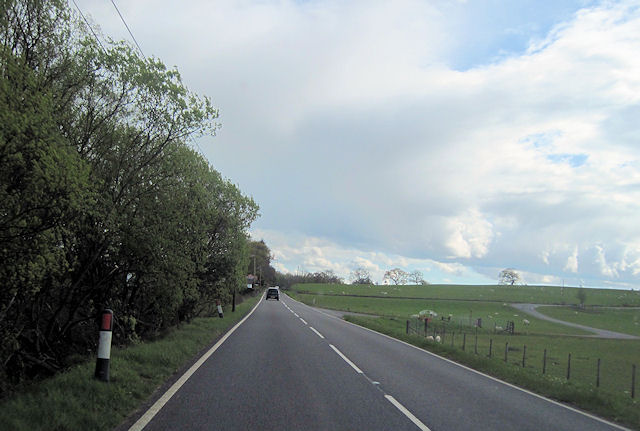
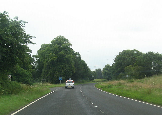
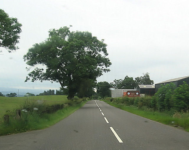
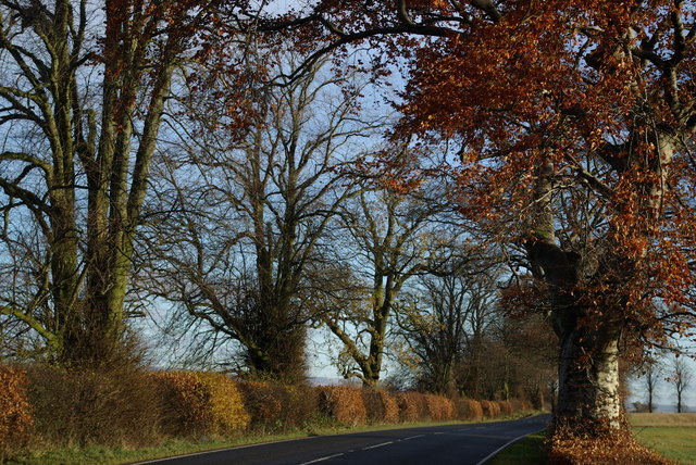
Garchell Wood Images
Images are sourced within 2km of 56.117791/-4.33815 or Grid Reference NS5494. Thanks to Geograph Open Source API. All images are credited.
Garchell Wood is located at Grid Ref: NS5494 (Lat: 56.117791, Lng: -4.33815)
Unitary Authority: Stirling
Police Authority: Forth Valley
What 3 Words
///outlooks.gloves.smoking. Near Balfron, Stirling
Nearby Locations
Related Wikis
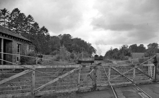
Buchlyvie railway station
Buchlyvie railway station served the village of Buchlyvie, Stirling, Scotland, from 1856 to 1959 on the Forth and Clyde Junction Railway. == History... ==
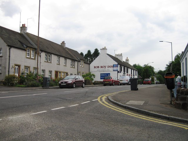
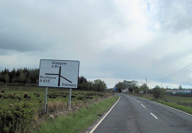
Buchlyvie
Buchlyvie is a village in the Stirling council area of Scotland. It is situated 14 miles (23 km) west of Stirling and 18 miles (29 km) north of Glasgow...

Dalmary
Dalmary is a small hamlet in Stirling, Scotland, situated in the civil parish of Drymen. Unlike other settlements in the Drymen civil parish, Dalmary has...

Gartmore House
Gartmore House is a country house and estate in the village of Gartmore, Stirling, Scotland. It was built in the mid-18th century for the Graham family...

Gartmore
Gartmore (Scottish Gaelic An Gart Mòr) is a village in the Stirling council area, Scotland. It is a village with a view of the Wallace Monument in Stirling...

Cunninghame Graham Memorial
The Cunninghame Graham Memorial is a stone monument dedicated to the memory of 'Don Roberto' Robert Bontine Cunninghame Graham (1852–1936) 15th of Gartmore...

Gartmore railway station
Gartmore railway station served the village of Gartmore, in the historical county of Stirlingshire, Scotland, from 1882 to 1950 on the Strathendrick and...
Balfron High School
Balfron High School is a secondary school situated in the village of Balfron, approximately 18 miles (29 km) west of Stirling and 16 miles (26 km) north...
Nearby Amenities
Located within 500m of 56.117791,-4.33815Have you been to Garchell Wood?
Leave your review of Garchell Wood below (or comments, questions and feedback).