Bonnieton Hill Plantation
Wood, Forest in Ayrshire
Scotland
Bonnieton Hill Plantation
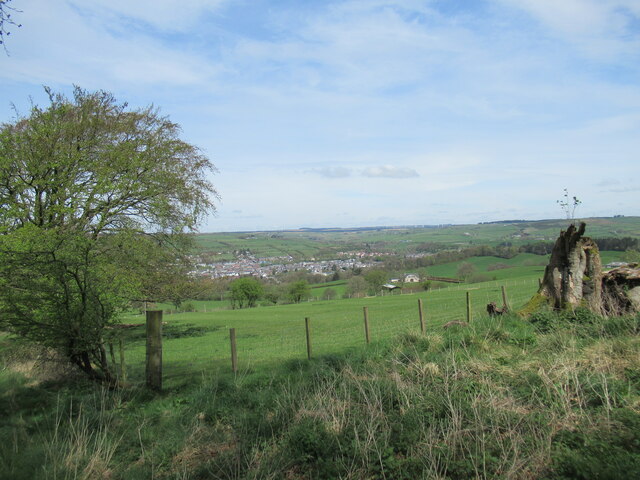
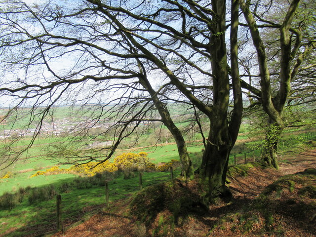
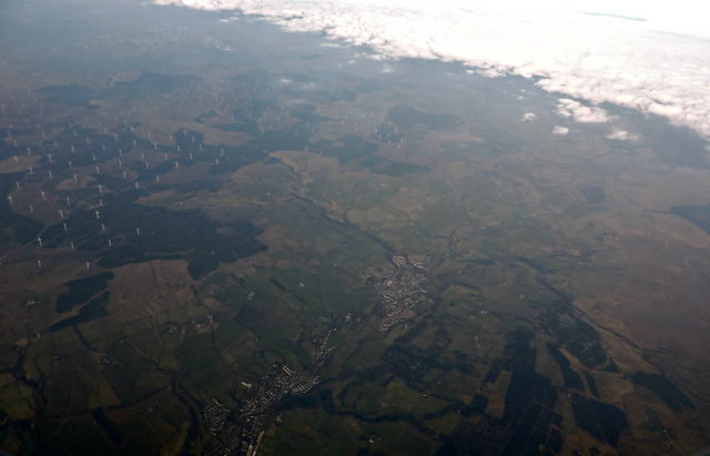
Bonnieton Hill Plantation is a picturesque woodland located in Ayrshire, Scotland. Spanning over a vast area, the plantation is renowned for its serene beauty and rich biodiversity.
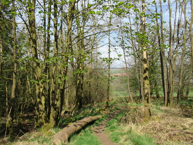
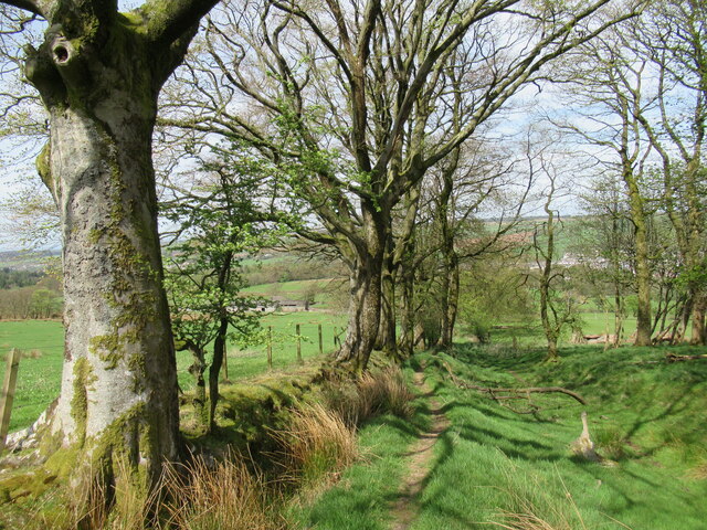
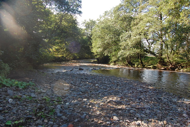
The plantation primarily consists of a dense forest, characterized by a wide variety of tree species. Towering Scots pines dominate the landscape, intermingled with oak, birch, and beech trees, creating a diverse and vibrant ecosystem. The forest floor is adorned with a carpet of wildflowers, adding a splash of color to the surroundings.
Bonnieton Hill Plantation is home to numerous wildlife species, making it an important habitat for conservation. Red squirrels scurry through the treetops, while roe deer roam the forest floor. The woodland also attracts a wide range of bird species, including woodpeckers, owls, and various songbirds.
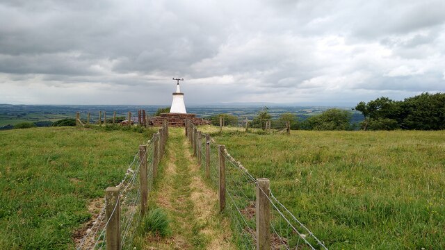
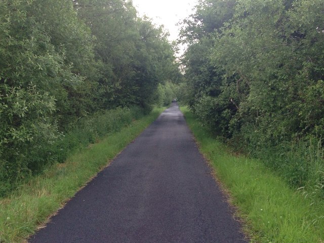
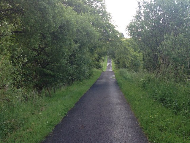
Visitors to Bonnieton Hill Plantation can explore the area through a network of well-maintained walking trails. These trails provide access to some of the most scenic spots within the woodland, offering breathtaking views of the surrounding countryside. The plantation also offers educational programs and guided walks, allowing visitors to learn about the local flora and fauna.
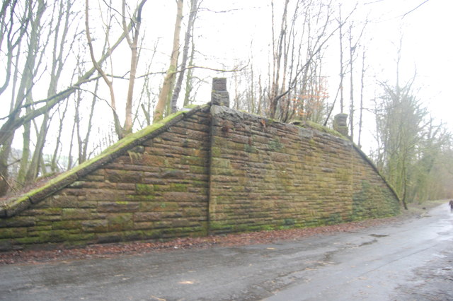
In addition to its natural beauty, Bonnieton Hill Plantation holds historical significance. The site was once part of a larger estate and has witnessed centuries of human activity. Remnants of old buildings and walls can still be found scattered throughout the woodland, providing glimpses into its past.
Overall, Bonnieton Hill Plantation is a haven of tranquility and natural wonder, offering visitors a chance to immerse themselves in the stunning beauty of Scotland's woodlands.
If you have any feedback on the listing, please let us know in the comments section below.
Bonnieton Hill Plantation Images
Images are sourced within 2km of 55.591515/-4.307075 or Grid Reference NS5435. Thanks to Geograph Open Source API. All images are credited.


Bonnieton Hill Plantation is located at Grid Ref: NS5435 (Lat: 55.591515, Lng: -4.307075)
Unitary Authority: East Ayrshire
Police Authority: Ayrshire
What 3 Words
///sparrows.tries.motivates. Near Newmilns, East Ayrshire
Nearby Locations
Related Wikis

Kilmarnock and Loudoun (UK Parliament constituency)
Kilmarnock and Loudoun is a county constituency of the House of Commons of the Parliament of the United Kingdom. It elects one Member of Parliament (MP...

Castle and Lands of Auchruglen
The Castle and Lands of Auchruglen (NS5365436797) was a peel tower in the old district of Kyle held at different times by the Nesbitt and Campbell Clans...
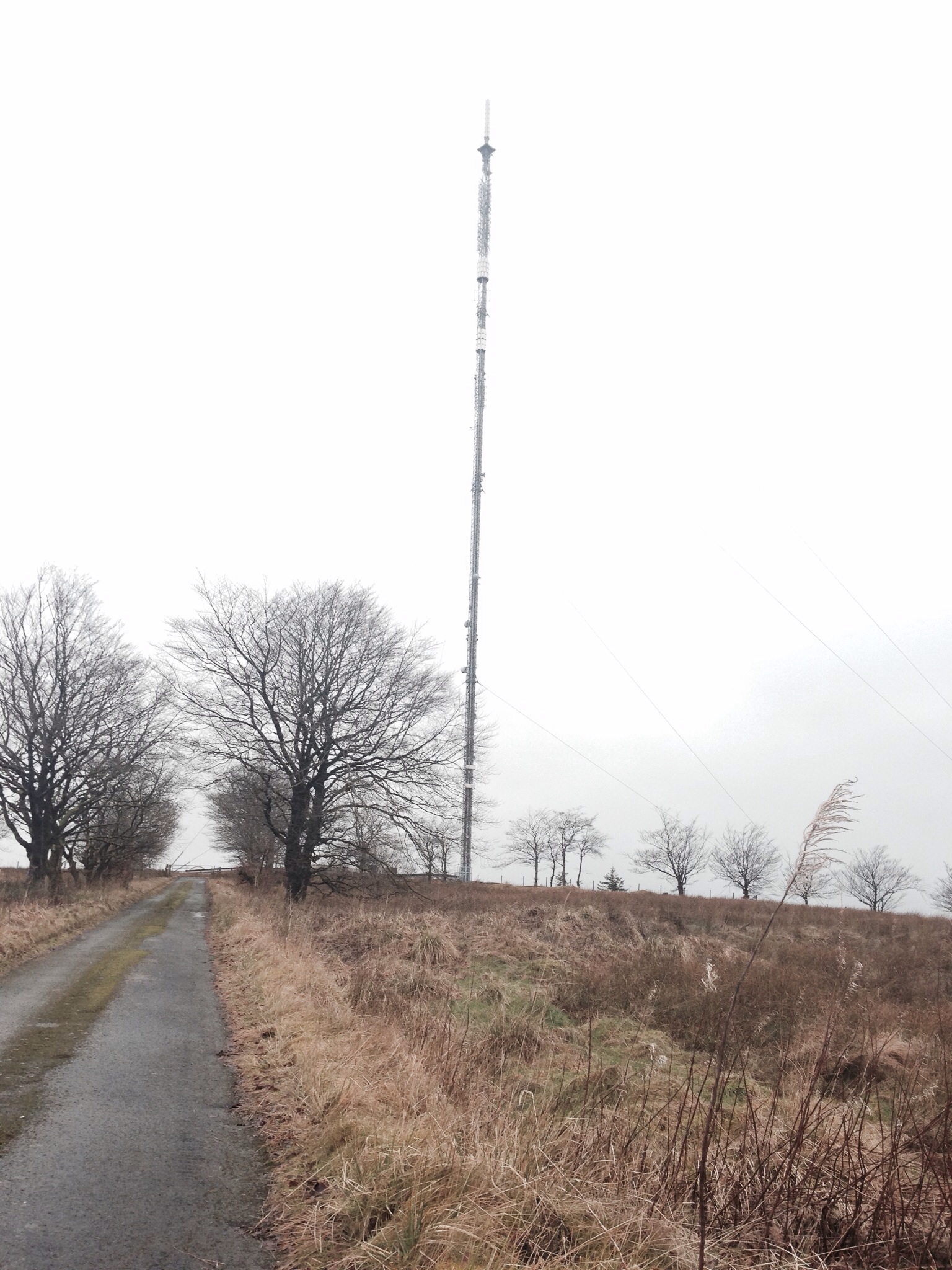
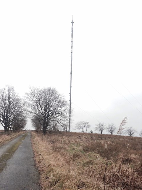
Darvel transmitting station
Darvel transmitting station is a broadcasting and telecommunications facility located near Darvel, East Ayrshire, Scotland (grid reference NS5567234132...

Newmilns Tower
Newmilns Tower is a 16th-century tower house, on Main Street, Newmilns, north of the River Irvine, East Ayrshire, Scotland. It may also be called Newmilns...

Newmilns
Newmilns is a village in the burgh of Newmilns and Greenholm, in East Ayrshire, Scotland. It has a population of 3,057 people (2001 census) and lies on...

Loudoun
Loudoun (Scottish Gaelic: Lughdan) is a parish in East Ayrshire, Scotland and lies between five and ten miles east of Kilmarnock. The parish roughly encompasses...

Darvel Town Hall
Darvel Town Hall is a municipal building in West Main Street, Darvel, East Ayrshire, Scotland. The structure, which is used as a library and a community...
Darvel Music Festival
Darvel Music Festival is a music festival that has been held in the town of Darvel, East Ayrshire, Ayrshire, Scotland, since 2002. The Darvel Music Festival...
Nearby Amenities
Located within 500m of 55.591515,-4.307075Have you been to Bonnieton Hill Plantation?
Leave your review of Bonnieton Hill Plantation below (or comments, questions and feedback).