Achleskine Wood
Wood, Forest in Perthshire
Scotland
Achleskine Wood
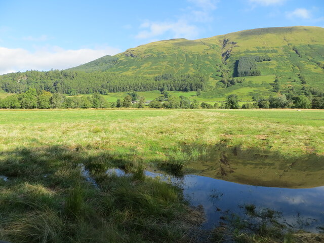
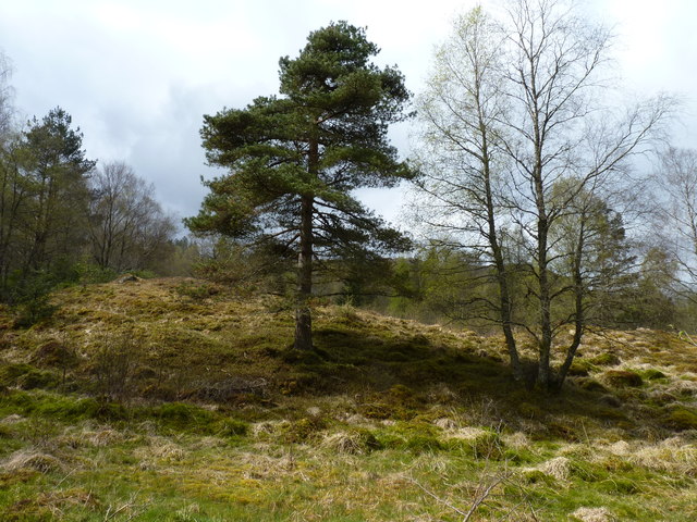
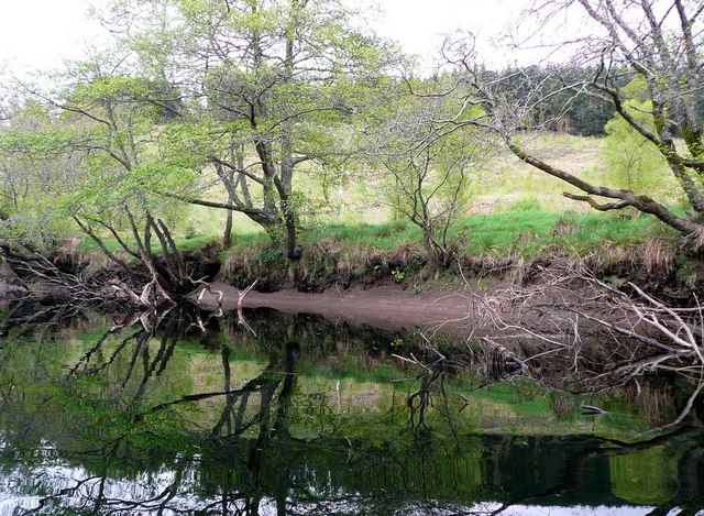
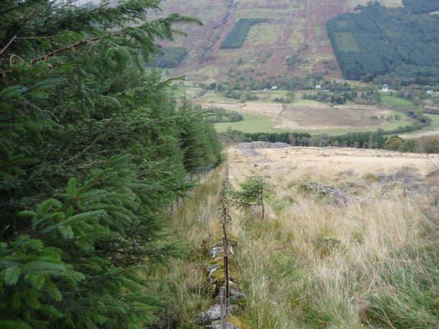
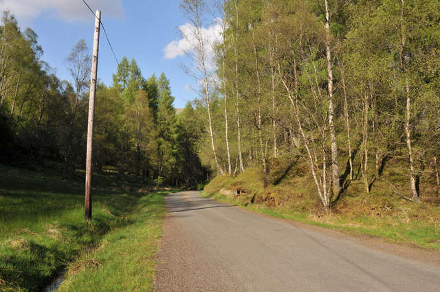
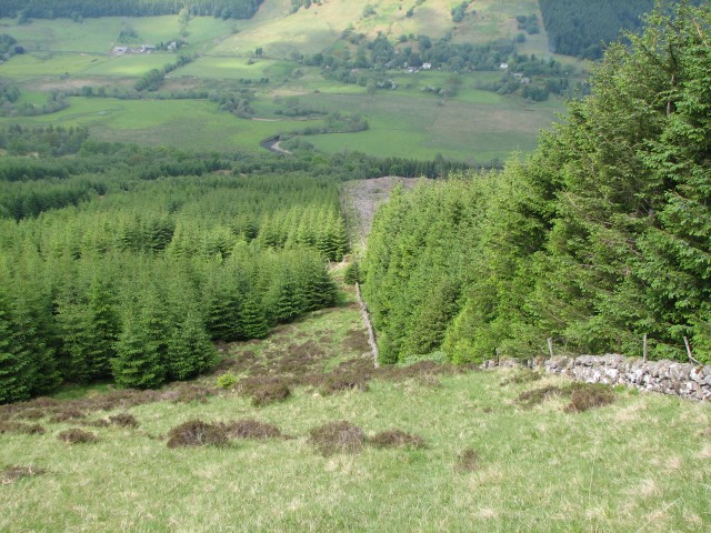
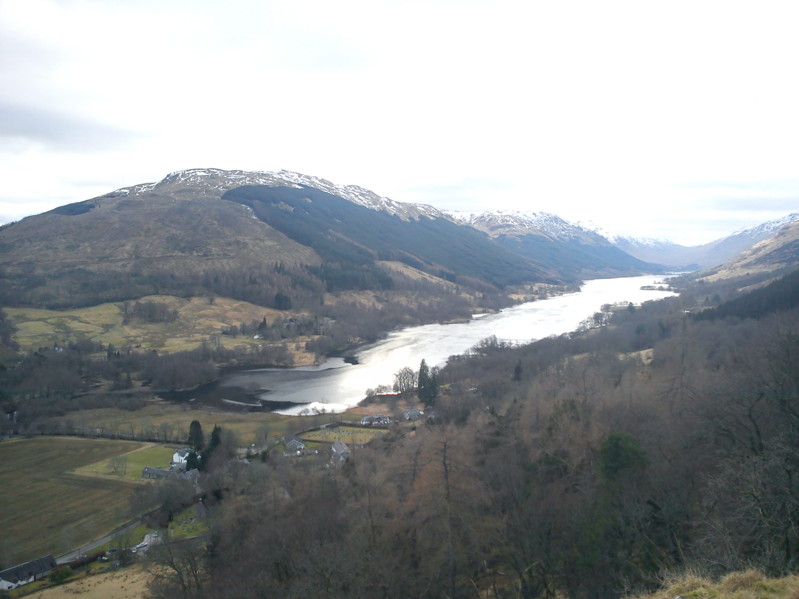
Achleskine Wood, located in the stunning region of Perthshire, Scotland, is a picturesque forest known for its natural beauty and diverse ecosystem. Covering an area of approximately 300 hectares, the wood is situated on the southern slopes of the Ochil Hills, providing visitors with breathtaking views of the surrounding landscape.
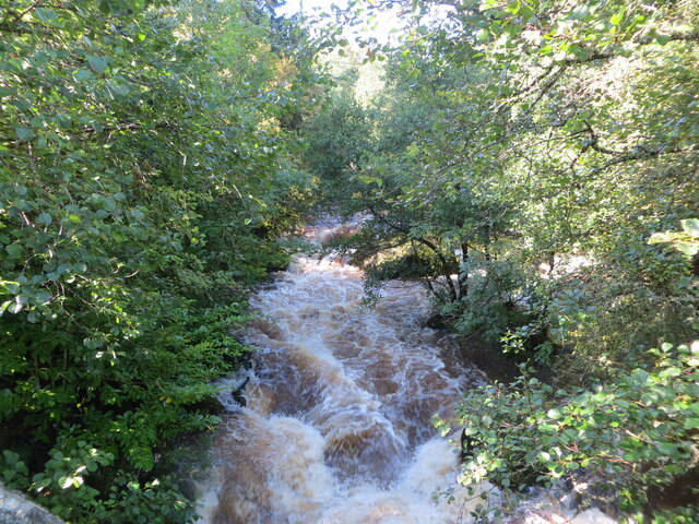
The forest predominantly consists of native deciduous trees, including oak, birch, and rowan, which create a rich tapestry of colors during the autumn months. These trees also provide a habitat for a variety of wildlife, including red squirrels, roe deer, and a plethora of bird species such as woodpeckers and tawny owls.
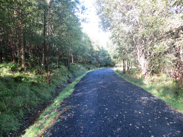
Several well-maintained trails wind their way through the wood, allowing visitors to explore its hidden treasures. These paths cater to all abilities, from gentle strolls to more challenging hikes, offering something for everyone. Along the way, walkers can enjoy the tranquil atmosphere and listen to the soothing sound of birdsong.
Achleskine Wood is not only a haven for nature enthusiasts but also a popular destination for photographers and artists seeking inspiration. The striking vistas, particularly during sunrise and sunset, provide ample opportunities for capturing the beauty of the wood on film or canvas.
Managed by the local council, the wood also serves as an educational resource, with informative signposts scattered throughout, providing insights into the area's flora and fauna. Additionally, guided nature walks and workshops are organized throughout the year, giving visitors the chance to learn more about the wood's conservation efforts.
In essence, Achleskine Wood is a captivating forest that offers a serene escape from the hustle and bustle of everyday life. Its natural wonders and diverse wildlife make it a must-visit destination for anyone seeking solace in Perthshire's enchanting countryside.
If you have any feedback on the listing, please let us know in the comments section below.
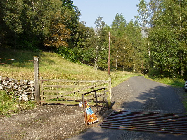
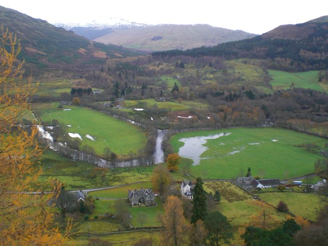
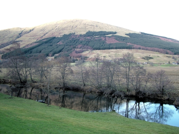
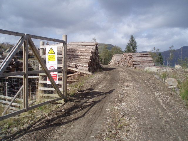
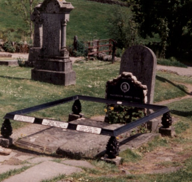
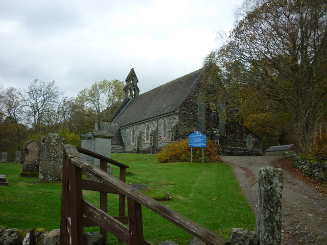
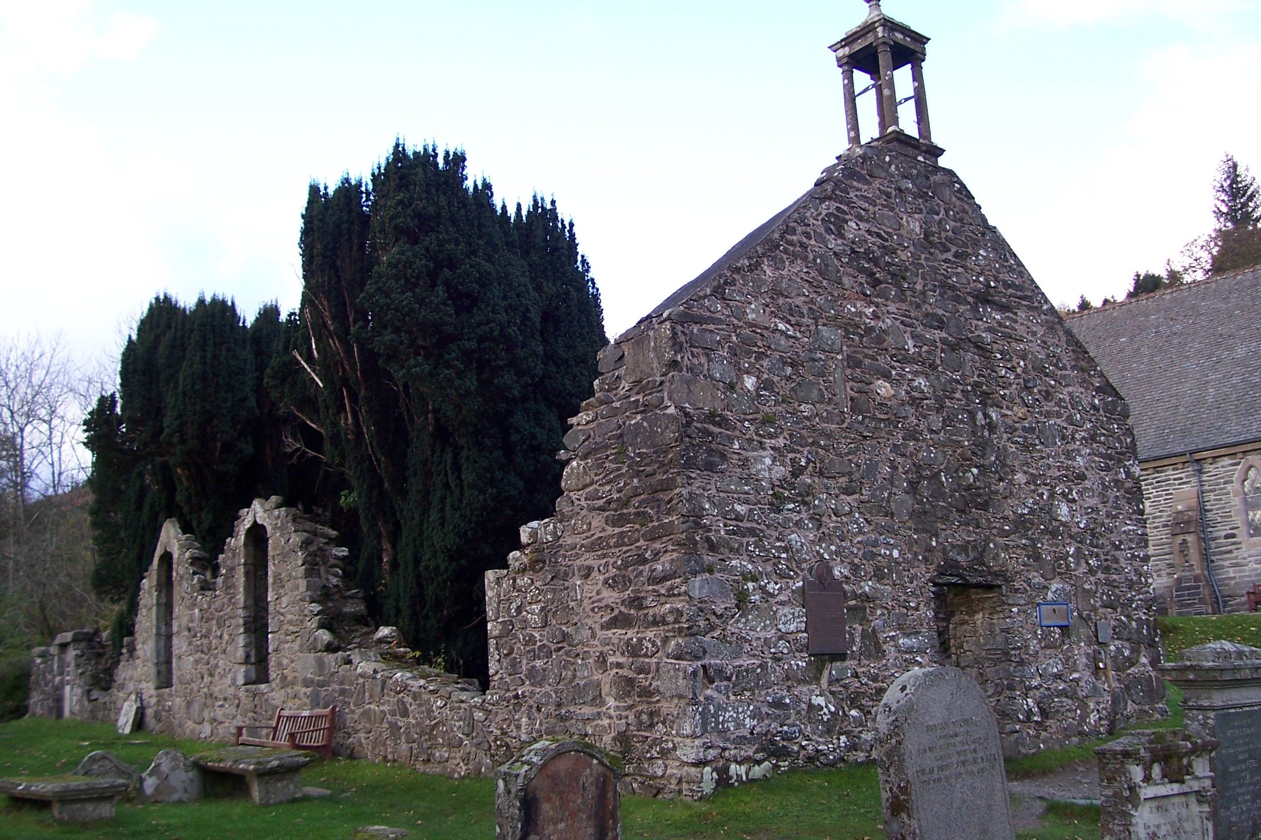
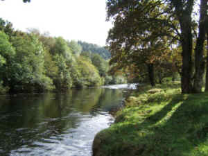
Achleskine Wood Images
Images are sourced within 2km of 56.360447/-4.361781 or Grid Reference NN5421. Thanks to Geograph Open Source API. All images are credited.
Achleskine Wood is located at Grid Ref: NN5421 (Lat: 56.360447, Lng: -4.361781)
Unitary Authority: Stirling
Police Authority: Forth Valley
What 3 Words
///pumps.nowadays.knowledge. Near Callander, Stirling
Nearby Locations
Related Wikis
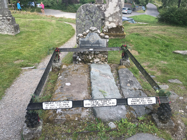
Balquhidder
Balquhidder ( ; Scottish Gaelic: Both Chuidir [ˌpɔˈxutʲɪɾʲ] or Both Phuidir [ˌpɔˈfutʲɪɾʲ]) is a small village in Perthshire located 10 miles (16 km) north...

Auchtubh
Auchtubh is a hamlet in the Stirling council area of Scotland, less than 1 mile (2 kilometres) to the east of the village of Balquhidder. Auchtubh consisted...

Meall an t-Seallaidh
Meall an t-Seallaidh (852 m) is a mountain in the Southern Highlands of Scotland. It is located in the Loch Lomond and The Trossachs National Park, west...

Kingshouse railway station
Kingshouse was a railway station located at the hamlet of Kingshouse, Stirling where the road from Balquhidder joins the A84. The only building of note...
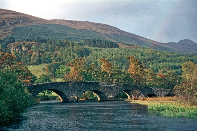
River Balvaig
The River Balvaig (Scottish Gaelic: "Abhainn Balbhaig") is a short river, approximately 8 km (5.0 mi) long, draining from the head of Loch Voil near Balquhidder...

Balquhidder railway station
Balquhidder was a railway station around two miles south of Lochearnhead, Stirling (district). It was where the Callander and Oban Railway was joined by...
Loch Voil
Loch Voil (Scottish Gaelic: Loch a' Bheothail) is a small freshwater loch that lies to the west of Balquhidder in the Stirling council area of Scotland...

Strathyre
Strathyre (; from Scottish Gaelic: Srath Eadhair) is a district and settlement in the Stirling local government district of Scotland. It forms the south...
Nearby Amenities
Located within 500m of 56.360447,-4.361781Have you been to Achleskine Wood?
Leave your review of Achleskine Wood below (or comments, questions and feedback).