McBrides Wood
Wood, Forest in Sutherland
Scotland
McBrides Wood

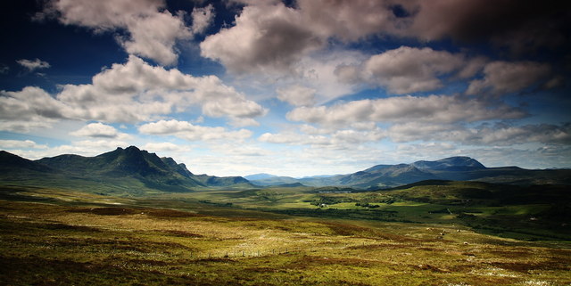
McBrides Wood, located in Sutherland, Scotland, is a magnificent forest renowned for its natural beauty and rich biodiversity. Spanning an area of approximately 500 acres, this wood is a haven for nature enthusiasts and wildlife lovers alike.
The forest is primarily composed of native trees, including oak, birch, and Scots pine, which create a diverse and vibrant ecosystem. The dense canopy allows minimal light to penetrate the forest floor, resulting in a lush undergrowth of ferns, mosses, and wildflowers.
McBrides Wood is home to a wide variety of wildlife, making it an ideal destination for birdwatching and animal spotting. Visitors may be lucky enough to catch a glimpse of red squirrels, pine martens, and roe deer as they explore the tranquil woodland trails. The area is also frequented by a range of bird species, such as the great spotted woodpecker, the tawny owl, and the common crossbill.
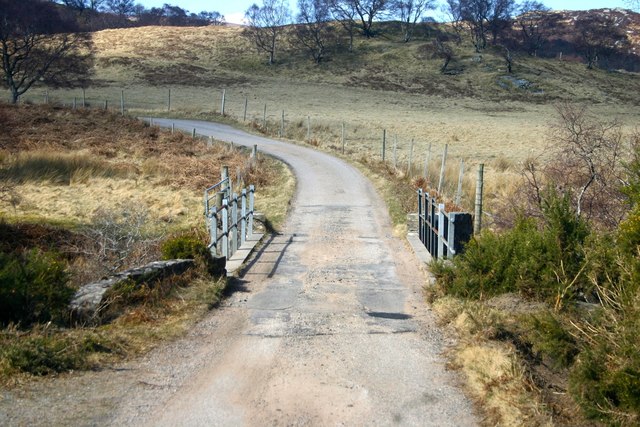
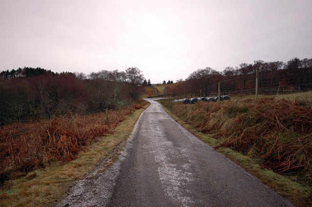
The wood offers several well-maintained walking trails, varying in difficulty and length, allowing visitors of all ages and abilities to explore and appreciate the natural surroundings. These paths wind through enchanting glens, across babbling brooks, and provide breathtaking views of the surrounding countryside.
McBrides Wood has become a popular destination for recreational activities, including picnicking, photography, and nature education. The forest is also a designated Site of Special Scientific Interest (SSSI), ensuring its protection and preservation for future generations.
In summary, McBrides Wood in Sutherland is a captivating forest that showcases the beauty of Scotland's natural landscapes. With its diverse flora and fauna, picturesque trails, and serene atmosphere, it offers a memorable experience for anyone seeking to immerse themselves in the wonders of nature.
If you have any feedback on the listing, please let us know in the comments section below.
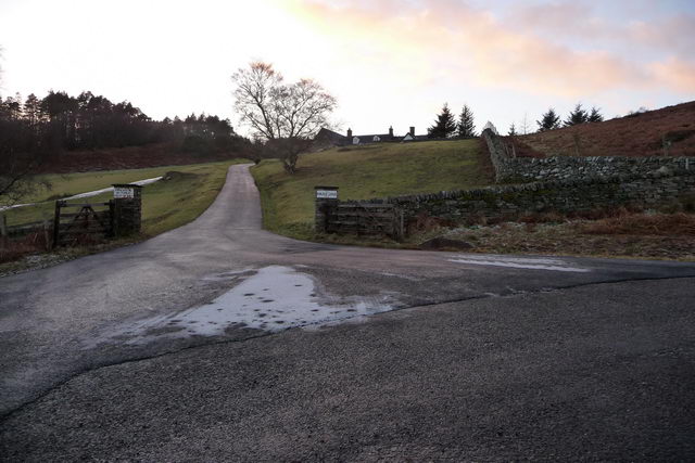
McBrides Wood Images
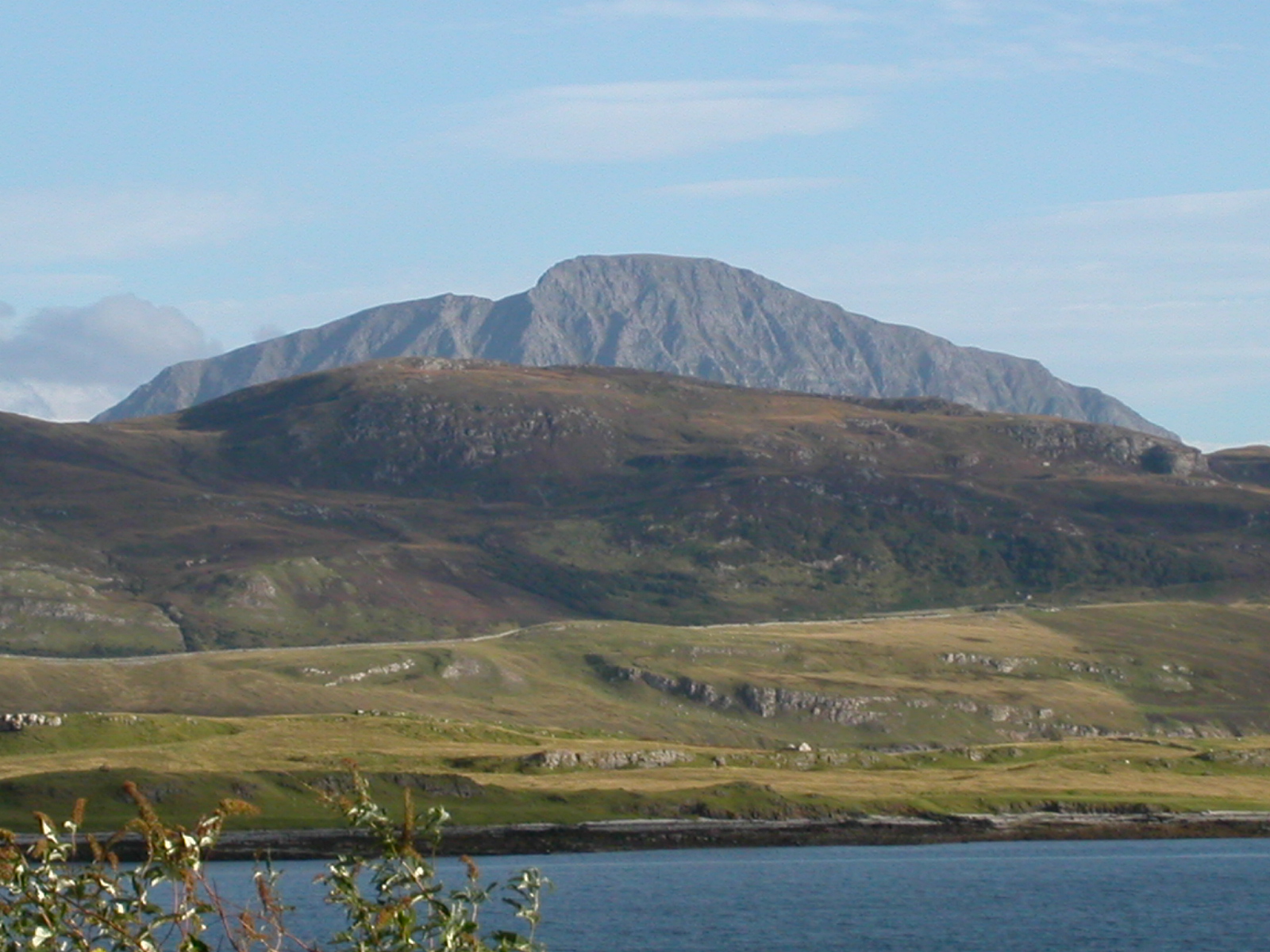
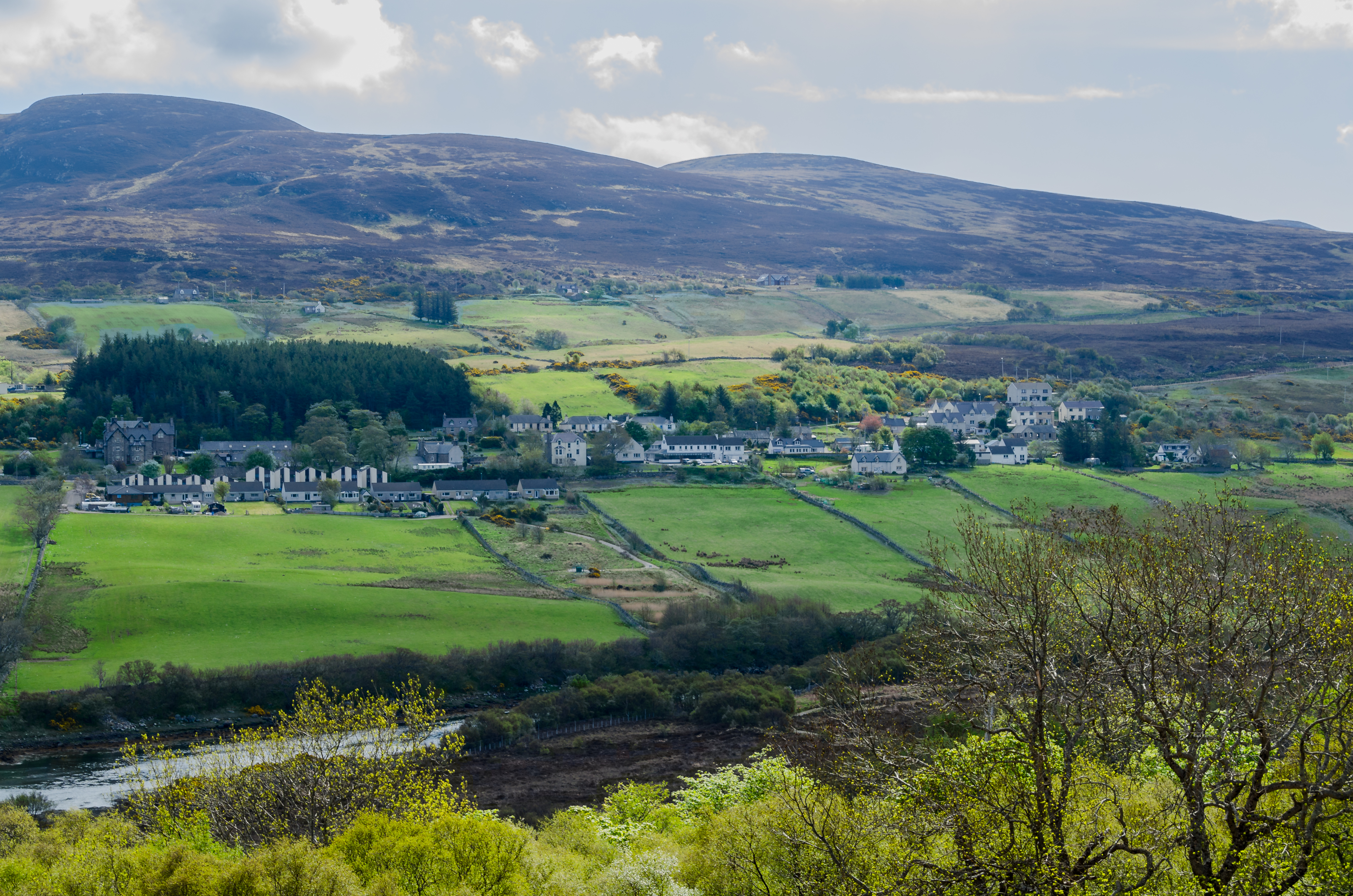
Images are sourced within 2km of 58.426706/-4.4983231 or Grid Reference NC5451. Thanks to Geograph Open Source API. All images are credited.


McBrides Wood is located at Grid Ref: NC5451 (Lat: 58.426706, Lng: -4.4983231)
Unitary Authority: Highland
Police Authority: Highlands and Islands
What 3 Words
///dogs.clocks.nerd. Near Altnaharra, Highland
Nearby Locations
Related Wikis
Kinloch Lodge
Kinloch Lodge, first opened in 1897, was once the private lodge of the Duke of Sutherland, and is situated near the village of Tongue in Sutherland, Scotland...
Battle of Drumnacoub
The Battle of Drumnacoub (Battle of Druim na coub, Drum-ne-coub) was a Scottish clan battle involving factions of the Clan Mackay fought in the far northwest...
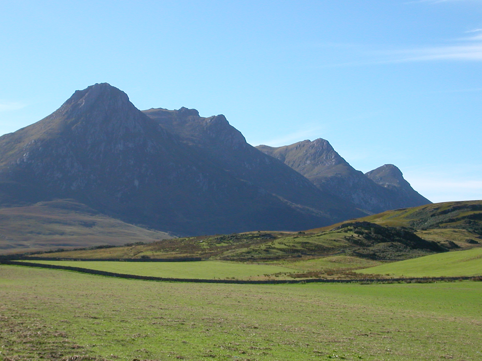
Ben Loyal
Ben Loyal (from Scottish Gaelic Beinn Laghail) is an isolated mountain of 764 m in Sutherland, the northwestern tip of the Scottish Highlands. It is a...
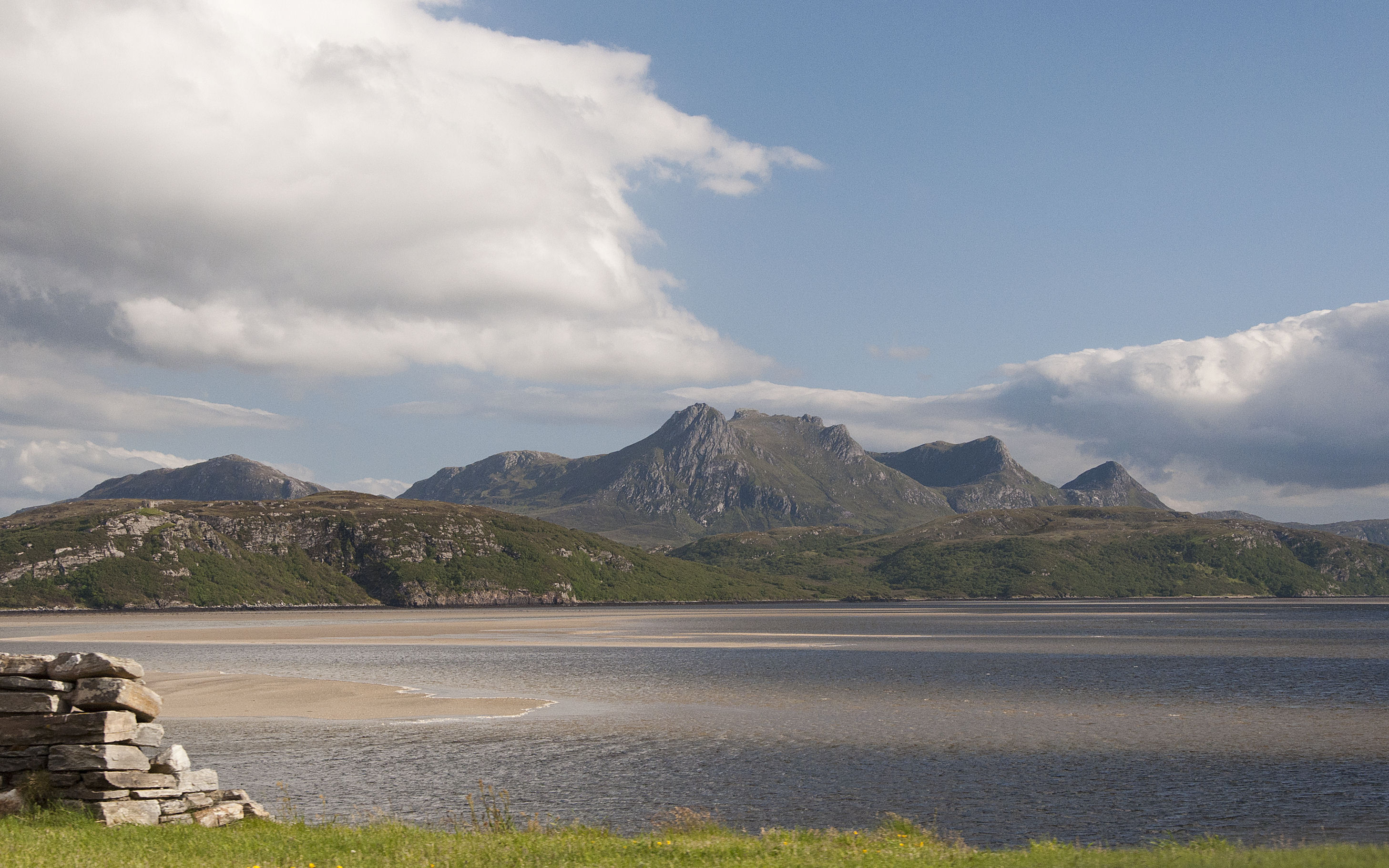
Kyle of Tongue
The Kyle of Tongue (Scottish Gaelic: Caol Thunga) is a shallow sea loch in northwest Highland, Scotland, in the western part of Sutherland. Featuring a...
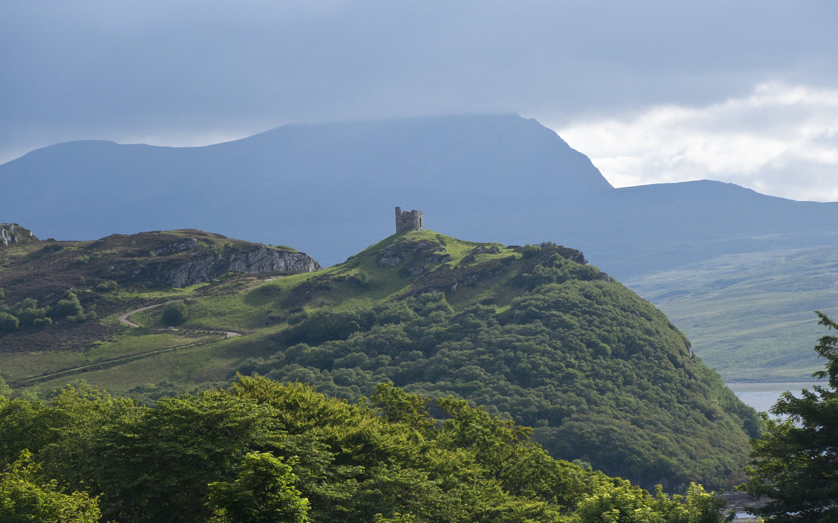
Castle Varrich
Castle Varrich (Scottish Gaelic: Caisteal Bharraich) is a castle in the far north of the Scottish Highlands, near the village of Tongue. The castle is...
Ben Hope
Ben Hope (Scottish Gaelic: Beinn Hòb) is a mountain in northern Scotland. It is the most northerly Munro, standing alone in the Flow Country (a region...
Tongue, Highland
Tongue (Scottish Gaelic: Tunga from Old Norse: Tunga) is a coastal village in northwest Highland, Scotland, in the western part of the former county of...

Braetongue
Braetongue (Scottish Gaelic: Bràigh Thunga) is an area in northern Sutherland just north of the town of Tongue (grid ref. NC595572). Runrig mentions the...
Have you been to McBrides Wood?
Leave your review of McBrides Wood below (or comments, questions and feedback).