Long Wood

Wood, Forest in Renfrewshire

Scotland

Long Wood

Pylons near Hazeldenhill Just south of Newton Mearns.
Pylons near Hazeldenhill Credit: Stephen Sweeney

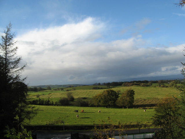
Long Wood is a picturesque woodland located in Renfrewshire, Scotland. It covers an area of approximately 100 hectares and is renowned for its natural beauty and diverse wildlife. The wood is situated on the outskirts of the village of Wood, making it easily accessible for visitors.

The woodland is predominantly composed of native broadleaf trees, including oak, birch, and beech, which create a dense canopy and provide a habitat for various species of birds, mammals, and insects. The rich undergrowth consists of ferns, mosses, and wildflowers, adding to the wood's enchanting ambiance.

Long Wood features a network of well-maintained paths and trails, allowing visitors to explore its beauty on foot or by bicycle. These paths wind through the wood, offering stunning views of the surrounding countryside and the nearby River Clyde. The tranquil atmosphere and peaceful surroundings make it an ideal spot for nature enthusiasts and those seeking a break from the hustle and bustle of everyday life.

The wood is also home to several species of animals, including red squirrels, roe deer, and a variety of bird species such as woodpeckers and owls. Wildlife enthusiasts can often spot these creatures during their visit, adding to the charm and allure of the wood.

Long Wood is a popular destination for both locals and tourists, who come to appreciate its natural beauty, relax in its serene atmosphere, and enjoy the numerous recreational activities it offers. Whether it be walking, birdwatching, or simply enjoying a picnic amidst the tranquil surroundings, Long Wood offers a delightful experience for all.

If you have any feedback on the listing, please let us know in the comments section below.
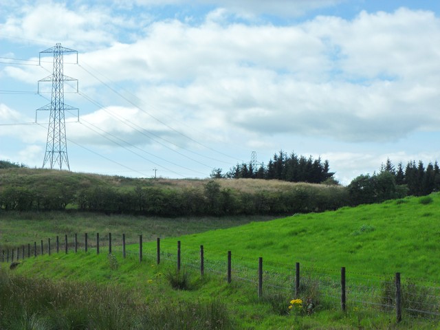
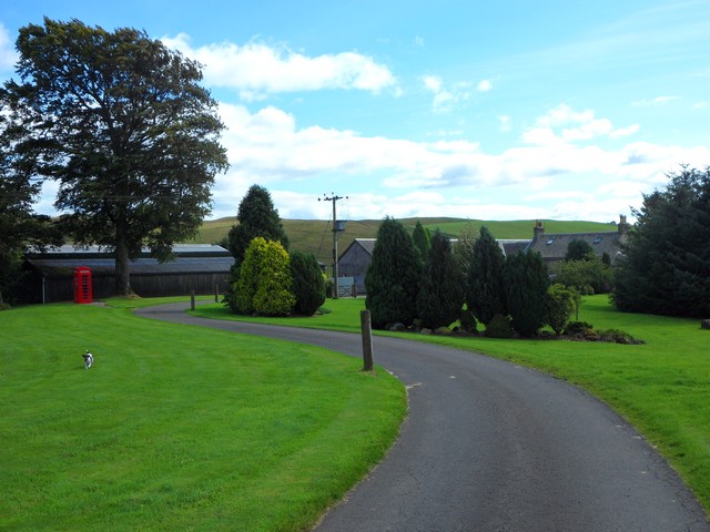
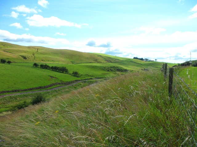
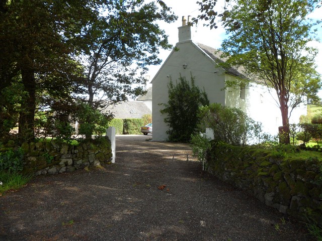
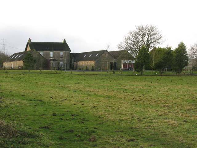
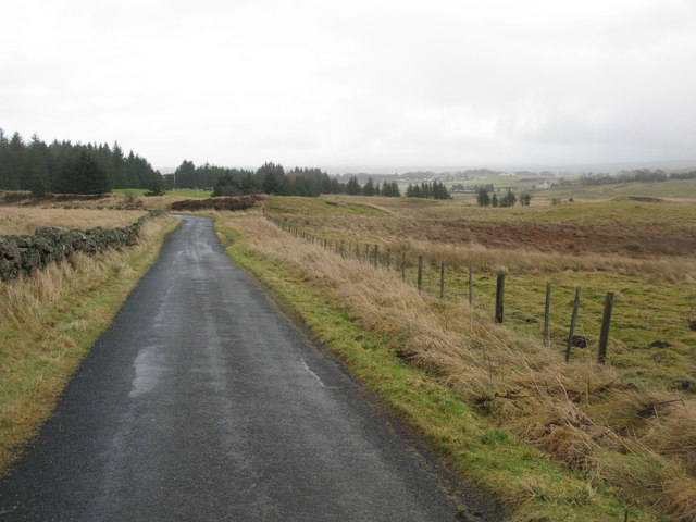
Long Wood Images

Images are sourced within 2km of 55.744318/-4.3251221 or Grid Reference NS5452. Thanks to Geograph Open Source API. All images are credited.

Pylons near Hazeldenhill Just south of Newton Mearns.
Pylons near Hazeldenhill
Just south of Newton Mearns.
Broadlees Rural settlement south of Glasgow.
Broadlees
Rural settlement south of Glasgow.
Looking along the glen of the Earn Water From the steep north bank between Broadlees and Blackhouse Farm.
Looking along the glen of the Earn Water
From the steep north bank between Broadlees and Blackhouse Farm.
West Titwood Near Newton Mearns.
West Titwood
Near Newton Mearns.
Fields along Keltie Bridge
Bonnyton Farm On Bonnyton Moor Road just south of the A726.
Bonnyton Farm
On Bonnyton Moor Road just south of the A726.
Kirkton Moor Road Heading towards Bonnyton Golf Course with the mist beginning to settle in on the Eaglesham Moors.
Kirkton Moor Road
Heading towards Bonnyton Golf Course with the mist beginning to settle in on the Eaglesham Moors.
Burn on Bonnyton Golf Course Also 4 bridges across the burn.
Burn on Bonnyton Golf Course
Also 4 bridges across the burn.
Bonnyton Golf Course - Hole 1 (Moor Yett) Looking up the 375 yard par 4 Hole 1 from the tee. The tee shot has to be played over a small ornamental loch.
Bonnyton Golf Course - Hole 1 (Moor Yett)
Looking up the 375 yard par 4 Hole 1 from the tee. The tee shot has to be played over a small ornamental loch.
North Kirktonmoor Farm West of Eaglesham on Kirkton Moor Road.
North Kirktonmoor Farm
West of Eaglesham on Kirkton Moor Road.
A726 at Mearns Road overbridge
A726 passes under Titwood Road
Humbie Bridge The bridge carries Humbie Road across the Earn Water south-east of Newton Mearns.
Humbie Bridge
The bridge carries Humbie Road across the Earn Water south-east of Newton Mearns.
A726 south of Newton Mearns Looking east from the Mearns Road flyover in the direction of East Kilbride.
A726 south of Newton Mearns
Looking east from the Mearns Road flyover in the direction of East Kilbride.
The Eastwood Golf Club - Hole 10 (Brand's Bield) A view from the tee of the 10th hole of this par 70 moorland golf course. This is at the northernmost extent of the course.
The Eastwood Golf Club - Hole 10 (Brand's Bield)
A view from the tee of the 10th hole of this par 70 moorland golf course. This is at the northernmost extent of the course.
Bridge over Earn Water The Earn Water is a tributary of the White Cart Water.
The road beyond the bridge becomes a private road to Blackhouse Farm.
Bridge over Earn Water
The Earn Water is a tributary of the White Cart Water. The road beyond the bridge becomes a private road to Blackhouse Farm.
Country Road at West Titwood This view is in the reverse direction to <a href="https://www.geograph.org.uk/photo/165098">NS5453 : Country Road at West Titwood</a>.
Country Road at West Titwood
This view is in the reverse direction to NS5453 : Country Road at West Titwood.
Lochcraig Reservoir from the south The reservoir is seen from the north flank of Ballageich Hill, not far from the Eaglesham Moor road.
Lochcraig Reservoir from the south
The reservoir is seen from the north flank of Ballageich Hill, not far from the Eaglesham Moor road.
Show me another place!

Long Wood is located at Grid Ref: NS5452 (Lat: 55.744318, Lng: -4.3251221)

Unitary Authority: East Renfrewshire

Police Authority: Greater Glasgow

What 3 Words

///achieving.seat.secret. Near Eaglesham, East Renfrewshire

Nearby Locations

Long Wood

Related Wikis

Mearns Castle High School

Mearns Castle High School is a secondary school situated on Waterfoot Road in Newton Mearns, East Renfrewshire, Scotland roughly seven miles from Glasgow...
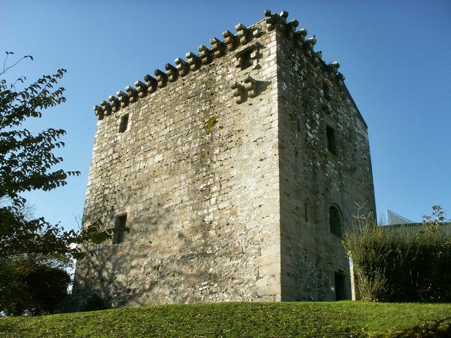
Mearns Castle

Mearns Castle is a 15th-century tower house in Newton Mearns, East Renfrewshire, south of Glasgow, Scotland. It is a Category A listed building. The castle...
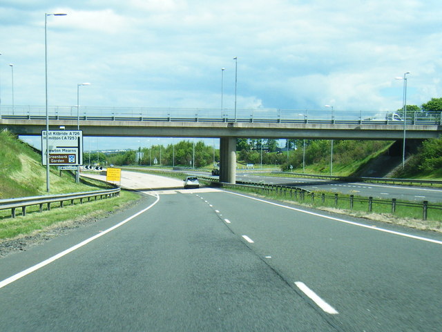
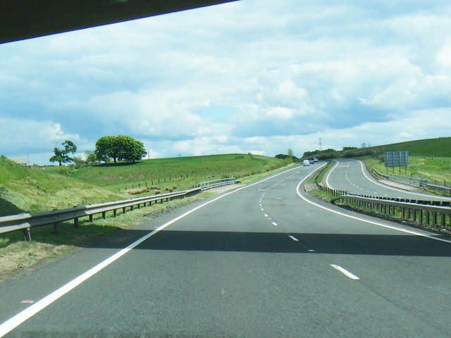
A726 road

The A726 road in Scotland is a major route with several distinct sections with different characteristics and names; owing to its stages of construction...

Newton Mearns

Newton Mearns (Scots: The Mearns; Scottish Gaelic: Baile Ùr na Maoirne [ˈpalə ˈuːɾ nə ˈmɯːrˠɲə]) is a suburban town and the largest settlement in East...

Glasgow Reform Synagogue

Glasgow Reform Synagogue is a synagogue in Newton Mearns, East Renfrewshire, Scotland. It is a member of the Movement for Reform Judaism and is the only...

Eaglesham

Eaglesham ( EE-gəl-səm) is a village in East Renfrewshire, Scotland, situated about 10 miles (16 km) south of Glasgow, 3 miles (5 km) southeast of Newton...

Waterfoot, East Renfrewshire

Waterfoot (Scots: Watterfit) is a village in East Renfrewshire, Scotland. It is on the B767 road between Clarkston and Eaglesham, which are 1 mile (1.6...
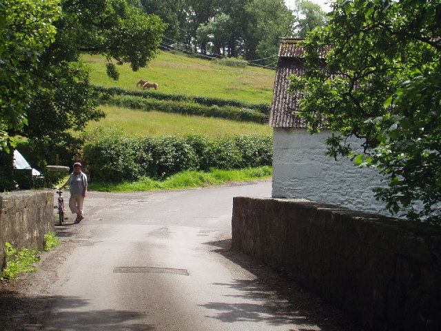
Netherplace

Netherplace is a hamlet in East Renfrewshire. It is to the west of Newton Mearns, and adjacent to the M77 motorway. The settlement is almost entirely along...

Nearby Amenities

Located within 500m of 55.744318,-4.3251221
Power: pole
Lat/Long: 55.7405272/-4.3281533
Power: pole
Lat/Long: 55.7409952/-4.3271657
Power: pole
Lat/Long: 55.7415759/-4.3259134
Power: pole
Lat/Long: 55.7420474/-4.3249174
Power: pole
Lat/Long: 55.7425775/-4.3237651
Power: pole
Lat/Long: 55.7430972/-4.3226524
Power: pole
Lat/Long: 55.7435464/-4.3217168
Power: pole
Lat/Long: 55.7439874/-4.3207709
Power: pole
Lat/Long: 55.7444378/-4.3198186
Power: pole
Lat/Long: 55.7449315/-4.3187768
Power: pole
Lat/Long: 55.745552/-4.3174516
Power: pole
Lat/Long: 55.7413553/-4.3247257
Power: pole
Lat/Long: 55.7405894/-4.3251612
Power: pole
Lat/Long: 55.7401214/-4.3254425
Power: pole
Lat/Long: 55.7411559/-4.3236213
Power: pole
Lat/Long: 55.7408381/-4.3219294
Power: pole
Lat/Long: 55.7406762/-4.3210751
The data included in this document is from www.openstreetmap.org. The data is made available under ODbL.

Have you been to Long Wood?

Leave your review of Long Wood below (or comments, questions and feedback).