Alderpark Wood
Wood, Forest in Stirlingshire
Scotland
Alderpark Wood
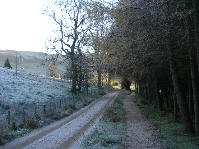
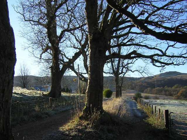
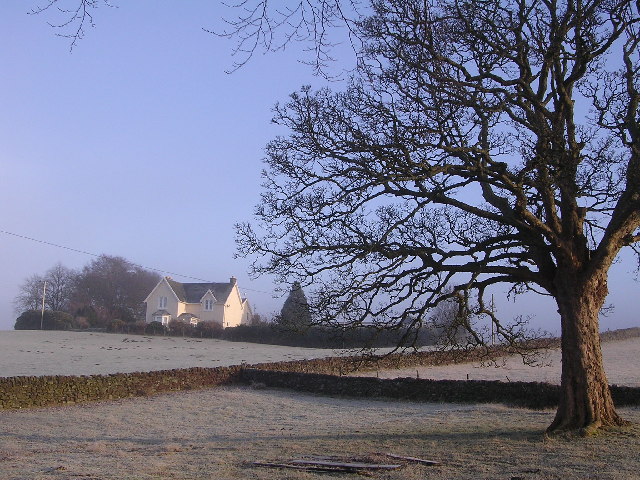
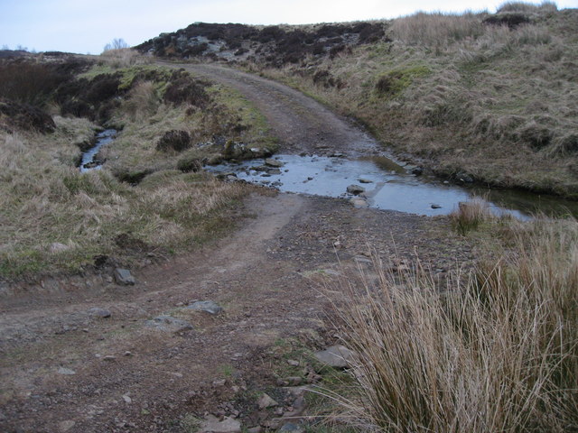
Alderpark Wood is a picturesque woodland located in Stirlingshire, Scotland. Covering an area of approximately 20 hectares, it is a popular destination for nature enthusiasts and outdoor enthusiasts alike. The wood is characterized by its dense population of alder trees, which give it its name.
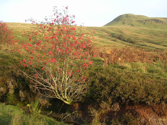
The wood is home to a diverse range of flora and fauna, making it a haven for wildlife. Visitors can expect to see a variety of bird species, including woodpeckers, owls, and various songbirds. Mammals such as red squirrels, roe deer, and badgers can also be spotted within the wood.
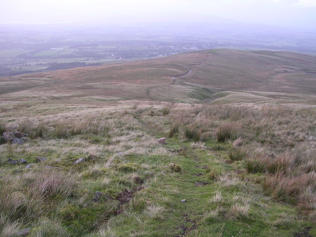
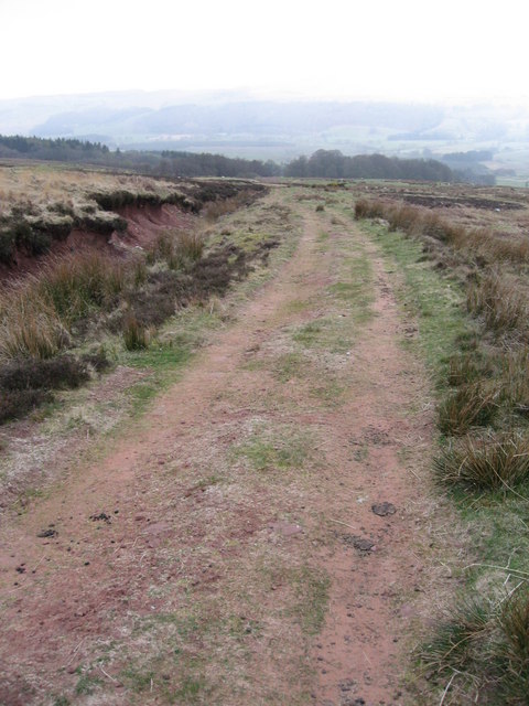
Alderpark Wood offers a network of well-maintained trails, allowing visitors to explore its beauty at their own pace. The trails wind through the wood, passing by babbling brooks, small ponds, and wildflower meadows. The peaceful ambiance and tranquil surroundings make it an ideal spot for walks, picnics, and even wildlife spotting.
The wood is managed by a local conservation organization, which ensures its preservation and protection. Conservation efforts include regular maintenance of the trails, monitoring of wildlife populations, and the promotion of sustainable practices among visitors.
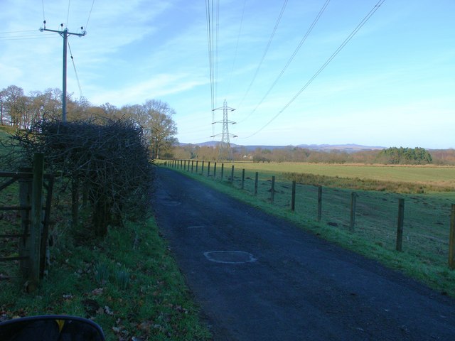
Alderpark Wood is easily accessible, with ample parking available nearby. Its close proximity to Stirling makes it a convenient destination for both locals and tourists. Whether one seeks solace in nature, a chance to observe wildlife, or simply a peaceful escape from the bustling city, Alderpark Wood offers a serene and enchanting experience for all who visit.
If you have any feedback on the listing, please let us know in the comments section below.
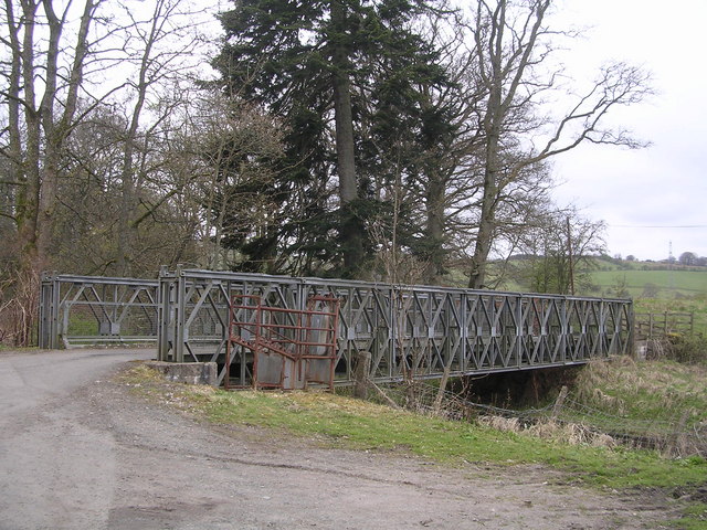
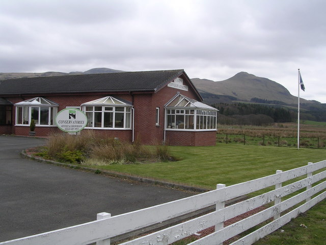
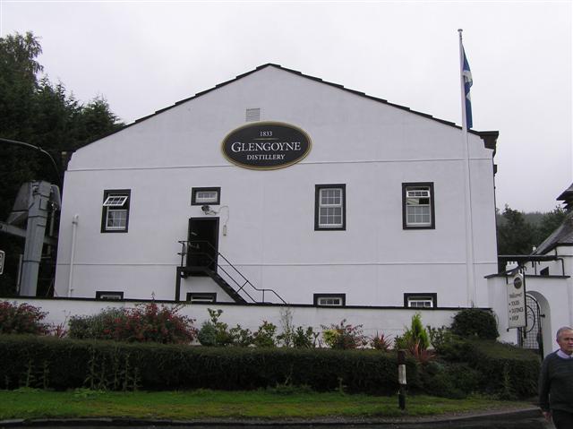
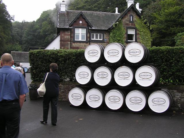
Alderpark Wood Images
Images are sourced within 2km of 56.019688/-4.3648542 or Grid Reference NS5283. Thanks to Geograph Open Source API. All images are credited.
Alderpark Wood is located at Grid Ref: NS5283 (Lat: 56.019688, Lng: -4.3648542)
Unitary Authority: Stirling
Police Authority: Forth Valley
What 3 Words
///frostbite.appeal.lays. Near Killearn, Stirling
Nearby Locations
Related Wikis
Dumgoyne railway station
Dumgoyne railway station served the village of Killearn, Stirling, Scotland from 1867 to 1951 on the Blane Valley Railway. == History == The station was...

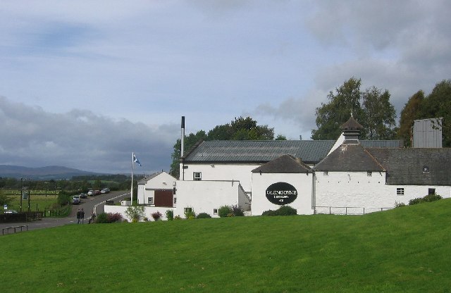
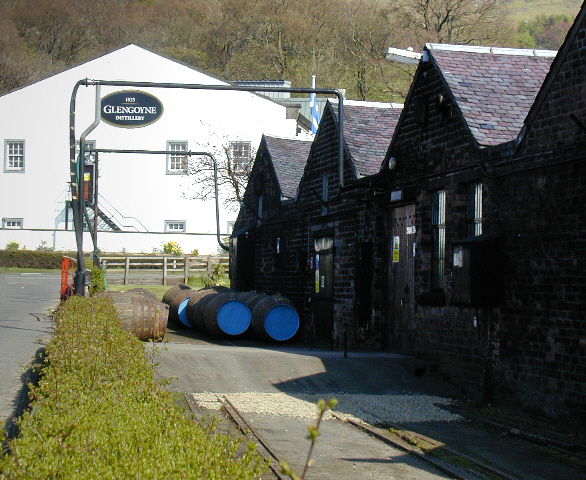
Glengoyne distillery
Glengoyne distillery is a whisky distillery continuously in operation since its founding in 1833 at Dumgoyne, north of Glasgow, Scotland. Glengoyne is...

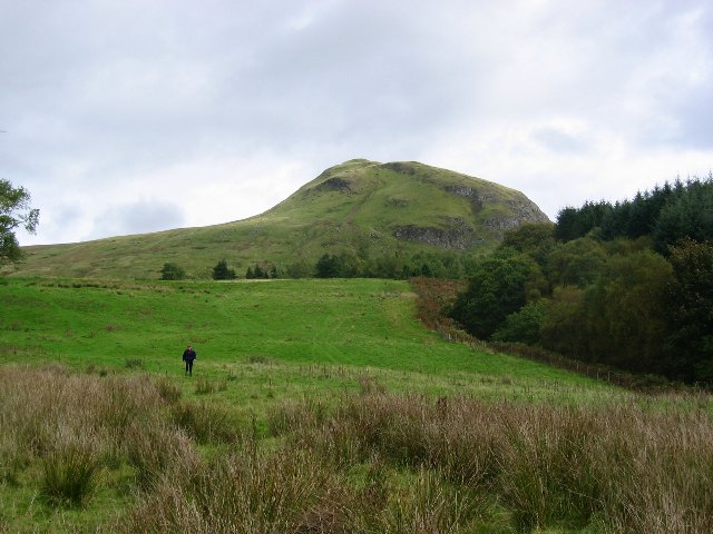
Dumgoyne
Dumgoyne is a hill prominent on the edge of the Campsie Fells and is a well-known landmark visible from Glasgow. It is a volcanic plug and is 427 m (1...

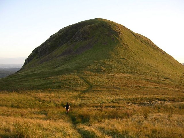
Dumfoyn
Dumfoyn is a hill in the Campsie Fells of Scotland. It is a volcanic plug, and rises to 426 metres (1,398 ft). It sits beside another hill, Dumgoyne which...

Killearn
Killearn (Scottish Gaelic: Cill Fhearann, from orig. Ceann Fhearann, "Head/End of (the) Land/Territory" – until the 15th century when Ceann was replaced...
Killearn Hospital
Killearn Hospital was a health facility at Killearn in the Stirling council area of Scotland. == History == The hospital was established as one of seven...
Killearn railway station
Killearn railway station served the village of Killearn, Stirling, Scotland from 1882 to 1951 on the Blane Valley Railway. == History == The station opened...

Finnich Glen
Finnich Glen in Stirlingshire, is a short, steep glen up to 70 ft deep which runs east from Finnich Bridge on the A809. It was carved from the red sandstone...
Nearby Amenities
Located within 500m of 56.019688,-4.3648542Have you been to Alderpark Wood?
Leave your review of Alderpark Wood below (or comments, questions and feedback).