Kessock Wood
Wood, Forest in Stirlingshire
Scotland
Kessock Wood
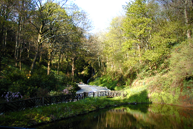
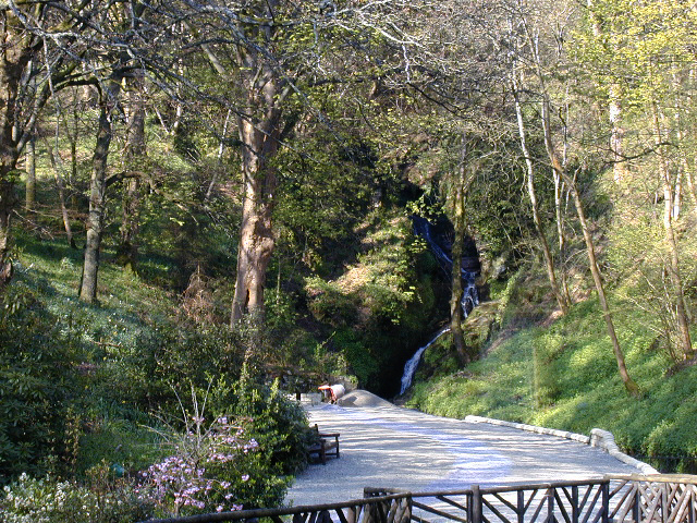
Kessock Wood is a picturesque woodland located in Stirlingshire, Scotland. Covering an area of approximately 100 acres, it is a popular destination for nature enthusiasts and outdoor lovers. The wood is situated just a few miles northwest of the town of Stirling, making it easily accessible for visitors.
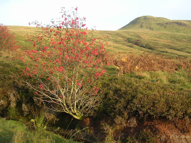
The woodland is characterized by a diverse range of tree species, including oak, birch, and Scots pine, which create a stunning landscape throughout the year. The forest floor is adorned with a rich carpet of wildflowers, ferns, and mosses, adding to the natural beauty of the area.
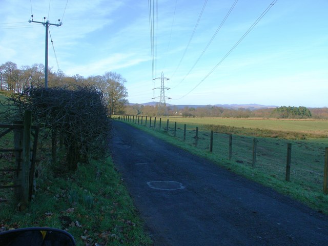
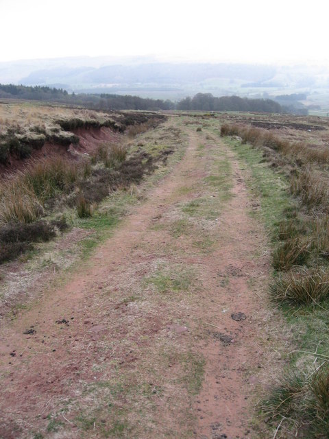
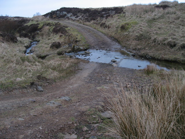
Kessock Wood offers numerous walking trails that cater to a variety of abilities and preferences. These well-maintained paths wind through the forest, providing visitors with the opportunity to explore the wood and discover its hidden treasures. Along the way, one can encounter a plethora of wildlife, such as red squirrels, roe deer, and a variety of bird species.
In addition to its natural beauty, Kessock Wood is also of historical significance. The wood was once part of the ancient Caledonian Forest that stretched across much of Scotland. Today, remnants of this ancient forest can still be found within Kessock Wood, adding an element of intrigue and fascination for history enthusiasts.
Overall, Kessock Wood in Stirlingshire is a captivating destination that offers a tranquil escape from the hustle and bustle of everyday life. Its combination of natural beauty, diverse wildlife, and historical significance make it a must-visit location for anyone seeking a peaceful and immersive woodland experience.
If you have any feedback on the listing, please let us know in the comments section below.
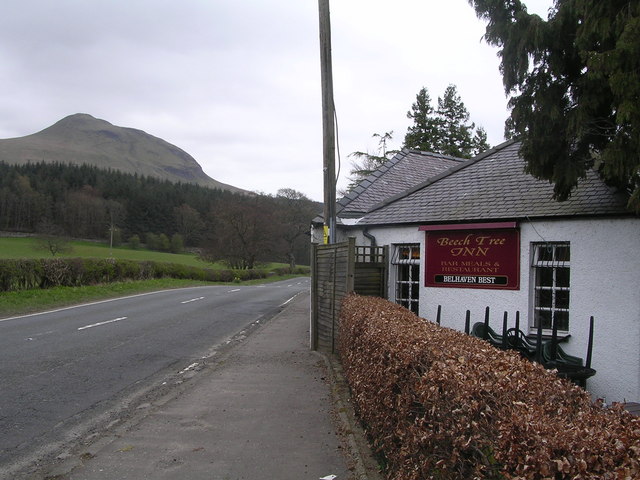
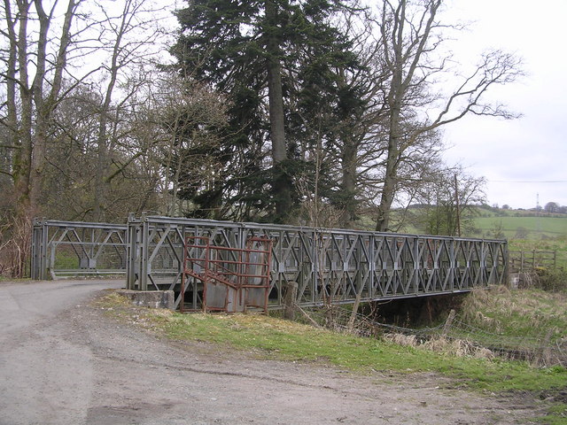
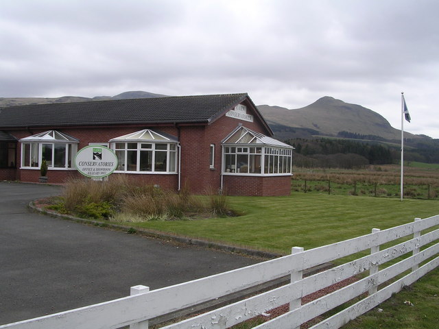
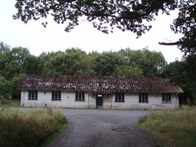
Kessock Wood Images
Images are sourced within 2km of 56.024585/-4.3672721 or Grid Reference NS5283. Thanks to Geograph Open Source API. All images are credited.
Kessock Wood is located at Grid Ref: NS5283 (Lat: 56.024585, Lng: -4.3672721)
Unitary Authority: Stirling
Police Authority: Forth Valley
What 3 Words
///undivided.share.operation. Near Killearn, Stirling
Nearby Locations
Related Wikis
Dumgoyne railway station
Dumgoyne railway station served the village of Killearn, Stirling, Scotland from 1867 to 1951 on the Blane Valley Railway. == History == The station was...

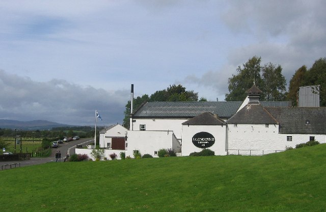
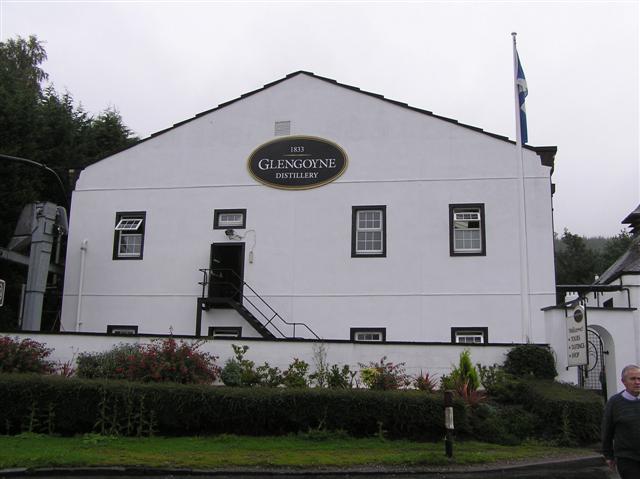
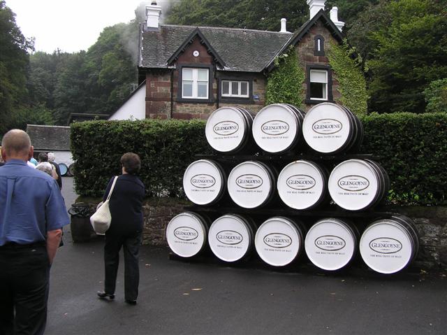
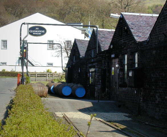
Glengoyne distillery
Glengoyne distillery is a whisky distillery continuously in operation since its founding in 1833 at Dumgoyne, north of Glasgow, Scotland. Glengoyne is...

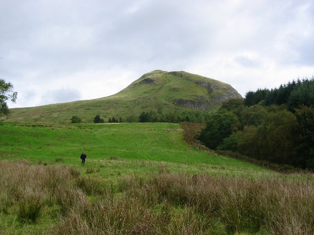
Dumgoyne
Dumgoyne is a hill prominent on the edge of the Campsie Fells and is a well-known landmark visible from Glasgow. It is a volcanic plug and is 427 m (1...

Killearn
Killearn (Scottish Gaelic: Cill Fhearann, from orig. Ceann Fhearann, "Head/End of (the) Land/Territory" – until the 15th century when Ceann was replaced...
Killearn Hospital
Killearn Hospital was a health facility at Killearn in the Stirling council area of Scotland. == History == The hospital was established as one of seven...

Killearn railway station
Killearn railway station served the village of Killearn, Stirling, Scotland from 1882 to 1951 on the Blane Valley Railway. == History == The station opened...
Dumfoyn
Dumfoyn is a hill in the Campsie Fells of Scotland. It is a volcanic plug, and rises to 426 metres (1,398 ft). It sits beside another hill, Dumgoyne which...

Finnich Glen
Finnich Glen in Stirlingshire, is a short, steep glen up to 70 ft deep which runs east from Finnich Bridge on the A809. It was carved from the red sandstone...
Nearby Amenities
Located within 500m of 56.024585,-4.3672721Have you been to Kessock Wood?
Leave your review of Kessock Wood below (or comments, questions and feedback).