Glen Wood

Wood, Forest in Stirlingshire

Scotland

Glen Wood

River Endrick A walk along the Endrick on a Sunday Afternoon
River Endrick Credit: richard newall

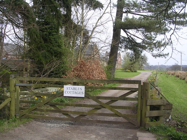
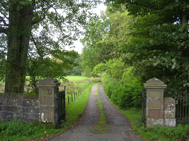
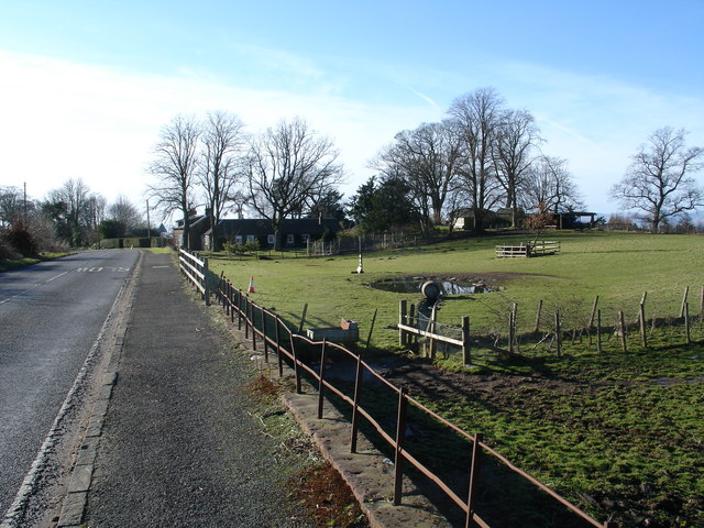
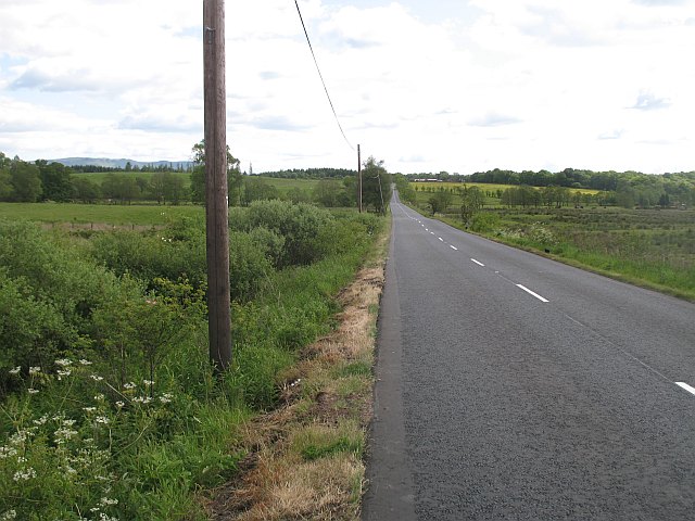
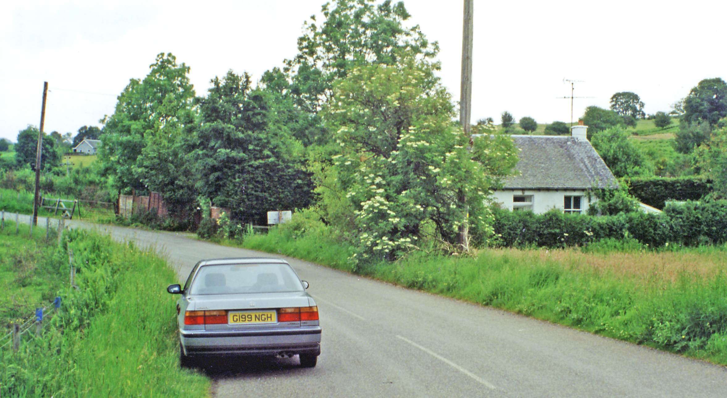
Glen Wood is a picturesque and enchanting forest located in Stirlingshire, Scotland. Nestled within the heart of the region, this wood is a haven for nature enthusiasts and those seeking tranquility amidst the stunning Scottish landscape.

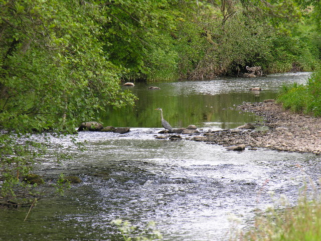
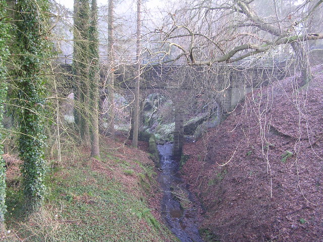
Covering an expansive area, Glen Wood boasts a diverse range of flora and fauna, making it a haven for wildlife. Walking through the forest, visitors can expect to encounter majestic oak, beech, and birch trees, providing a serene and peaceful atmosphere. The forest floor is adorned with a vibrant carpet of bluebells in the spring, creating a breathtaking sight.

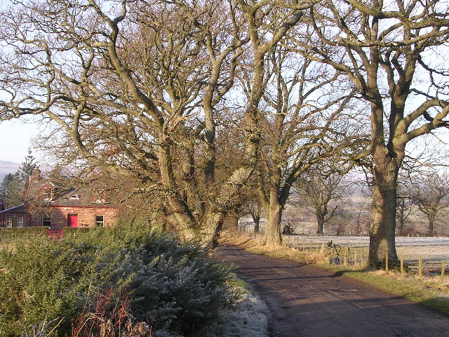
The wood offers a variety of walking trails, catering to all levels of fitness and interests. From leisurely strolls to more challenging hikes, visitors can explore the forest at their own pace. The trails wind through the dense foliage, offering glimpses of the surrounding hills and valleys, creating a truly immersive experience in nature.

In addition to its natural beauty, Glen Wood is also steeped in history. The forest has been an integral part of the local community for centuries, providing timber for construction and fuel. Remnants of old sawmills and charcoal pits can still be found, serving as a reminder of the area's industrial past.

Whether it's a peaceful walk, a chance to spot wildlife, or an opportunity to learn about the area's history, Glen Wood offers a captivating experience for visitors of all ages. With its breathtaking scenery and rich biodiversity, this forest is a true gem in the Stirlingshire region, showcasing the natural beauty of Scotland's woodlands.

If you have any feedback on the listing, please let us know in the comments section below.

Glen Wood Images

Images are sourced within 2km of 56.053278/-4.3670228 or Grid Reference NS5287. Thanks to Geograph Open Source API. All images are credited.

River Endrick A walk along the Endrick on a Sunday Afternoon
River Endrick
A walk along the Endrick on a Sunday Afternoon
Killearn church This church was built in 1882.
Killearn church
This church was built in 1882.
Last House in Killearn Before hitting open countryside to the south west
Last House in Killearn
Before hitting open countryside to the south west
Killearn Churches on Remembrance Sunday
Killearn Cemetery and The Firs
Aqueduct across Kirkhouse Burn, Killearn This is carrying the water pipes from Loch Katrine to Glasgow
Aqueduct across Kirkhouse Burn, Killearn
This is carrying the water pipes from Loch Katrine to Glasgow
Home Farm Cottage, near Boquhan
Ballochruin Farm plus Llama
Killearn Bridge Magnificent sandstone bridge spanning the Endrick Water. This bridge is completely invisible from the A81 when you drive across it.
Killearn Bridge
Magnificent sandstone bridge spanning the Endrick Water. This bridge is completely invisible from the A81 when you drive across it.
Footbridge across the Endrick Water A very secluded stretch of river
Footbridge across the Endrick Water
A very secluded stretch of river
Gateway to Carbeth House Private Grounds I didn't feel comfortable to walk through the grounds of Carbeth House, so this was my point of closest approach.
Gateway to Carbeth House Private Grounds
I didn't feel comfortable to walk through the grounds of Carbeth House, so this was my point of closest approach.
Bend in the Endrick Water Sharp bend on secluded stretch of river
Bend in the Endrick Water
Sharp bend on secluded stretch of river
View Through Disused Railway Bridge Looking SW along disused railway line that once connected Balfron with Croftamie and Strathblane
View Through Disused Railway Bridge
Looking SW along disused railway line that once connected Balfron with Croftamie and Strathblane
Driveway to Boquhan Old House
Heron's Court
Heron's Court
Katrine Aqueduct at Killearn These four nondescript trapdoors near the main road contain a secret, one that doesn't even appear on the OS map. These service hatches provide access to the underground aqueduct that provides Glasgow's water supply - from Loch Katrine, to Milngavie Water Works. The aqueduct was opened by Queen Victoria at the turn of the century, and was a major engineering feat with most of the work (and route) being invisible (unless you knew where to look).  The next access to the aqueduct southwards is within the village of Blanefield.
Katrine Aqueduct at Killearn
These four nondescript trapdoors near the main road contain a secret, one that doesn't even appear on the OS map. These service hatches provide access to the underground aqueduct that provides Glasgow's water supply - from Loch Katrine, to Milngavie Water Works. The aqueduct was opened by Queen Victoria at the turn of the century, and was a major engineering feat with most of the work (and route) being invisible (unless you knew where to look). The next access to the aqueduct southwards is within the village of Blanefield.
Auchenibert Lane Looking northwest
Auchenibert Lane
Looking northwest
Parish Church The Church and Obelisk at Killearn on the main road through the town.
Parish Church
The Church and Obelisk at Killearn on the main road through the town.
Show me another place!

Glen Wood is located at Grid Ref: NS5287 (Lat: 56.053278, Lng: -4.3670228)

Unitary Authority: Stirling

Police Authority: Forth Valley

What 3 Words

///sunbeam.shuts.immunity. Near Killearn, Stirling

Nearby Locations

Glen Wood

Related Wikis

Boquhan

Boquhan (pronounced Bowhan) is a hamlet in Stirling, Scotland, sometimes known as Wester Boquhan to distinguish it from the other nearby Boquhan, near...

Killearn

Killearn (Scottish Gaelic: Cill Fhearann, from orig. Ceann Fhearann, "Head/End of (the) Land/Territory" – until the 15th century when Ceann was replaced...

A81 road

The A81 road is a major road in Scotland. It runs from Glasgow to Callander via Woodside and Maryhill within the city, as well as Bearsden, Milngavie and...

Balfron railway station

Balfron railway station was a railway station that served the village of Balfron in Scotland. The station was served by trains on the Strathendrick and...

Killearn railway station

Killearn railway station served the village of Killearn, Stirling, Scotland from 1882 to 1951 on the Blane Valley Railway. == History == The station opened...

Gartness

Gartness is a hamlet in Stirling, Scotland. It is located 1.8 miles/2.9 km from Killearn and 3.1 miles/5 km from Drymen. Most pupils attend Killearn Primary...

Gartness railway station

Gartness railway station served the hamlet of Gartness, Stirling, Scotland, from 1856 to 1934 on the Forth and Clyde Junction Railway. == History == The...

Balfron

Balfron (Scottish Gaelic: Both Fron) is a village in the Stirling council area of Scotland. It is situated near Endrick Water on the A875 road, 18 miles...

Nearby Amenities

Located within 500m of 56.053278,-4.3670228
Power: pole
Lat/Long: 56.0561107/-4.3610532
The data included in this document is from www.openstreetmap.org. The data is made available under ODbL.

Have you been to Glen Wood?

Leave your review of Glen Wood below (or comments, questions and feedback).