Capel-Seion
Settlement in Cardiganshire
Wales
Capel-Seion
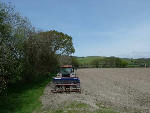
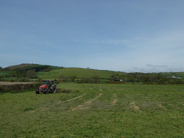
Capel-Seion is a small village located in the county of Cardiganshire, Wales. Situated in the beautiful rural countryside, it is surrounded by rolling hills and lush green fields. The village is located approximately 8 miles southeast of Aberystwyth, the largest town in the area.
The name Capel-Seion translates to "Zion Chapel" in English and reflects the village's historical connection to the nonconformist religious movement. The chapel, which was built in 1805, is a prominent landmark in the village and continues to serve as a place of worship for the local community.
The village itself is relatively small, with a population of around 200 residents. It has a close-knit and friendly community, where many families have lived for generations. There are a few amenities available in the village, including a local pub and a small convenience store.
Capel-Seion is an ideal location for those seeking a peaceful and picturesque setting. The surrounding countryside offers plenty of opportunities for outdoor activities such as hiking, cycling, and fishing. The village also benefits from its proximity to the coast, with beautiful sandy beaches just a short drive away.
Overall, Capel-Seion is a charming and tranquil village that offers a sense of community and a connection to the natural beauty of the Welsh countryside.
If you have any feedback on the listing, please let us know in the comments section below.
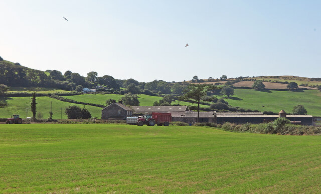
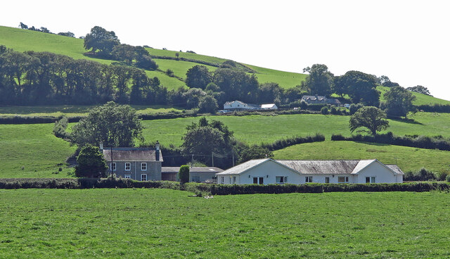
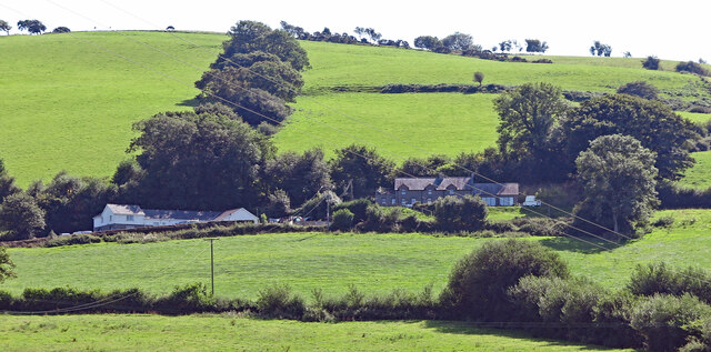
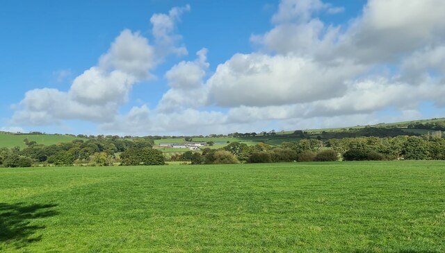
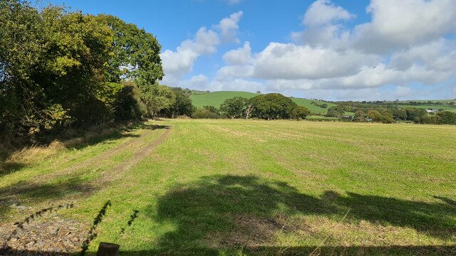
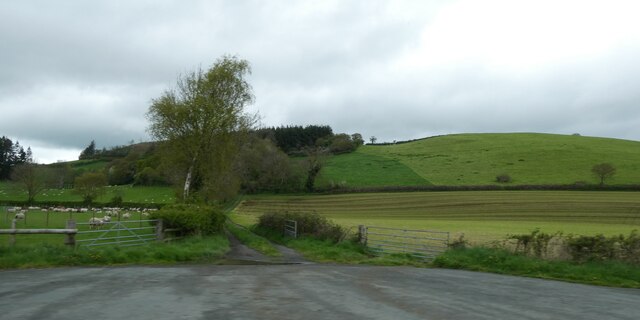
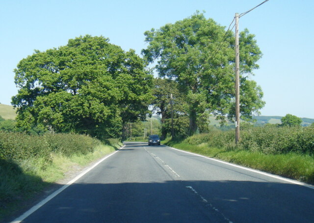
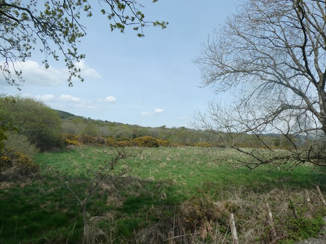
Capel-Seion Images
Images are sourced within 2km of 52.394176/-4.012666 or Grid Reference SN6379. Thanks to Geograph Open Source API. All images are credited.


Capel-Seion is located at Grid Ref: SN6379 (Lat: 52.394176, Lng: -4.012666)
Unitary Authority: Ceredigion
Police Authority: Dyfed Powys
Also known as: Capel Seion
What 3 Words
///rested.roosts.poetry. Near Llanilar, Ceredigion
Nearby Locations
Related Wikis
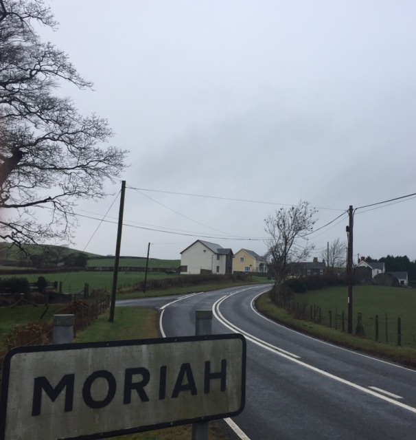
Moriah, Ceredigion
Moriah is a hamlet in the community of Llanfarian, Ceredigion, Wales, which is 73 miles (117.4 km) from Cardiff and 177.1 miles (285 km) from London. Moriah...

Nanteos Mansion
Nanteos (Welsh: Plas Nanteos, Nanteos Mansion) is an 18th-century former country house in Llanbadarn-y-Creuddyn, near Aberystwyth, Ceredigion, Wales. A...

Capel Bangor railway station
Capel Bangor railway station is a railway station serving Capel Bangor in Ceredigion in Mid-Wales. It is an intermediate station on the preserved Vale...

Blaen-geuffordd
Blaen-geuffordd is a hamlet in the community of Melindwr, Ceredigion, Wales, which is 72.7 miles (117.1 km) from Cardiff and 175.8 miles (282.9 km) from...
Nearby Amenities
Located within 500m of 52.394176,-4.012666Have you been to Capel-Seion?
Leave your review of Capel-Seion below (or comments, questions and feedback).