Capel Seion
Settlement in Cardiganshire
Wales
Capel Seion
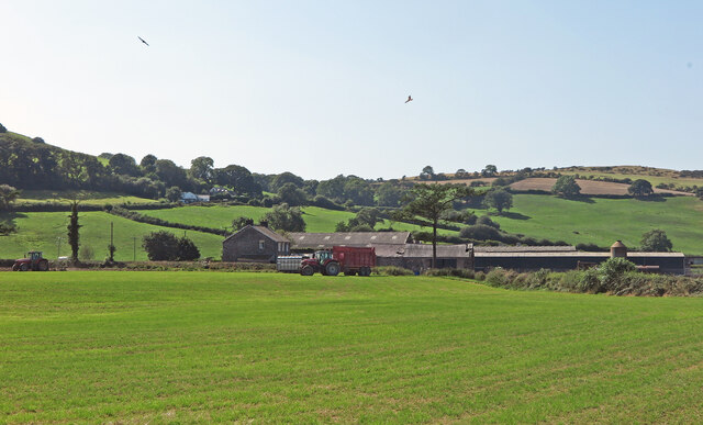
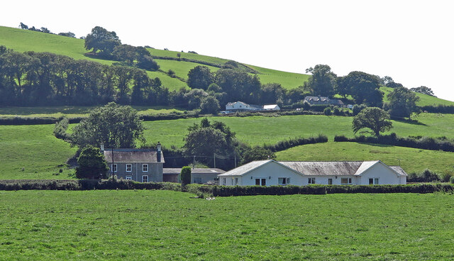
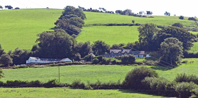
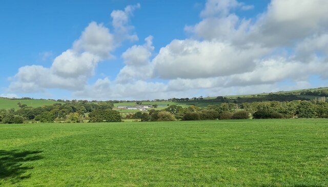
Capel Seion is a small village located in the county of Cardiganshire, Wales. Situated in the western part of the country, it is nestled amidst picturesque rolling hills and lush green fields. The village is known for its tranquil and idyllic setting, providing residents and visitors with a peaceful retreat from the busyness of urban life.
Historically, Capel Seion gained significance due to the presence of a prominent Welsh Baptist chapel. The chapel, after which the village is named, was built in the early 19th century and played a significant role in the religious and cultural life of the local community. Today, the chapel still stands as a testament to the village's rich heritage and attracts visitors interested in Welsh history and architecture.
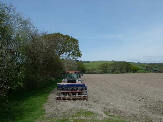
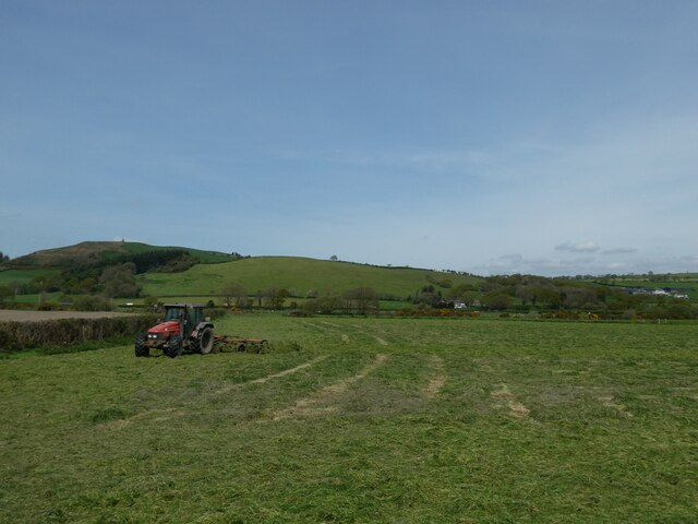
The village itself is home to a small population, primarily engaged in farming and agriculture. The landscape surrounding Capel Seion is characterized by open fields, where livestock such as sheep and cows graze peacefully. Walking trails and footpaths meander through the countryside, offering opportunities for outdoor enthusiasts to explore and appreciate the natural beauty of the area.
Despite its small size, Capel Seion is well-connected to neighboring towns and villages. The nearby town of Aberystwyth, located approximately six miles to the west, serves as a hub for amenities and services. Residents of Capel Seion can access schools, healthcare facilities, and shopping centers in Aberystwyth, while still enjoying the tranquility of village life.
Overall, Capel Seion offers a peaceful and rural lifestyle in the heart of the Welsh countryside. Its rich history, breathtaking scenery, and close proximity to amenities make it an attractive place for those seeking a balance between rural living and modern convenience.
If you have any feedback on the listing, please let us know in the comments section below.
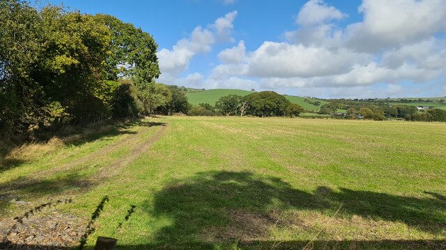
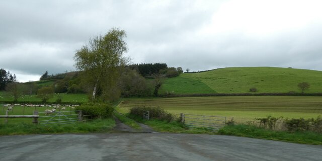
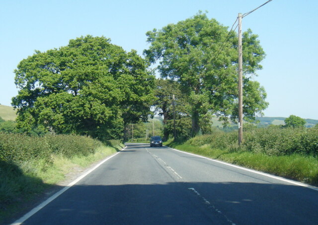
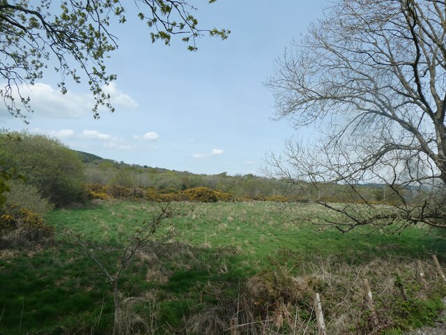
Capel Seion Images
Images are sourced within 2km of 52.394176/-4.012666 or Grid Reference SN6379. Thanks to Geograph Open Source API. All images are credited.


Capel Seion is located at Grid Ref: SN6379 (Lat: 52.394176, Lng: -4.012666)
Unitary Authority: Ceredigion
Police Authority: Dyfed Powys
Also known as: Capel-Seion
What 3 Words
///rested.roosts.poetry. Near Llanilar, Ceredigion
Nearby Locations
Related Wikis
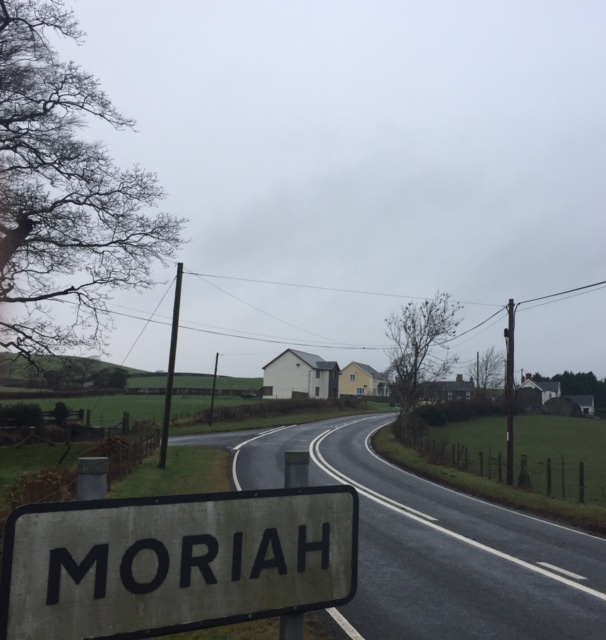
Moriah, Ceredigion
Moriah is a hamlet in the community of Llanfarian, Ceredigion, Wales, which is 73 miles (117.4 km) from Cardiff and 177.1 miles (285 km) from London. Moriah...

Nanteos Mansion
Nanteos (Welsh: Plas Nanteos, Nanteos Mansion) is an 18th-century former country house in Llanbadarn-y-Creuddyn, near Aberystwyth, Ceredigion, Wales. A...

Capel Bangor railway station
Capel Bangor railway station is a railway station serving Capel Bangor in Ceredigion in Mid-Wales. It is an intermediate station on the preserved Vale...

Blaen-geuffordd
Blaen-geuffordd is a hamlet in the community of Melindwr, Ceredigion, Wales, which is 72.7 miles (117.1 km) from Cardiff and 175.8 miles (282.9 km) from...
Nearby Amenities
Located within 500m of 52.394176,-4.012666Have you been to Capel Seion?
Leave your review of Capel Seion below (or comments, questions and feedback).