Capel Siloam

Settlement in Denbighshire

Wales

Capel Siloam

Capel Garmon Chambered Tomb View from the south west in 1980 <span class="nowrap"><a title="https://www.megalithic.co.uk/article.php?sid=5947" rel="nofollow ugc noopener" href="https://www.megalithic.co.uk/article.php?sid=5947">Link</a><img style="margin-left:2px;" alt="External link" title="External link - shift click to open in new window" src="https://s1.geograph.org.uk/img/external.png" width="10" height="10"/></span>
Capel Garmon Chambered Tomb Credit: Sandy Gerrard

Capel Siloam is a small chapel located in Denbighshire, Wales. Situated in the picturesque countryside, this historic building holds great significance for the local community. The chapel was built in the early 19th century and has served as a place of worship for over two centuries.

The architecture of Capel Siloam is a fine example of the traditional Welsh chapel style. Its simple yet elegant design features a slate roof, whitewashed walls, and a prominent gable facade. The interior is equally charming, with wooden pews, a pulpit, and a beautiful stained glass window depicting biblical scenes.

The chapel has played a central role in the religious and social life of the area. Over the years, it has provided a space for worship, weddings, baptisms, and funerals, as well as community gatherings and events. Many generations of families have attended services at Capel Siloam, creating a strong sense of heritage and tradition.

Today, Capel Siloam continues to hold regular services for its congregation, which has diminished in size but remains dedicated and active. The chapel also welcomes visitors who are interested in exploring its rich history and experiencing its peaceful atmosphere. It stands as a symbol of faith and resilience, preserving the traditions and values of the local community.

If you have any feedback on the listing, please let us know in the comments section below.
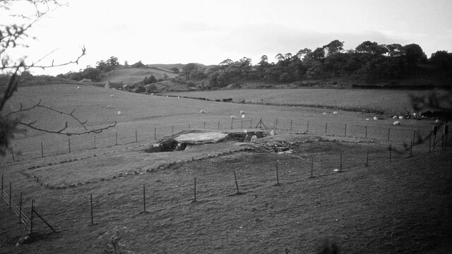
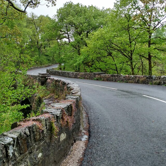
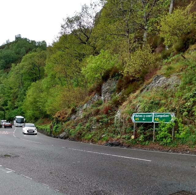
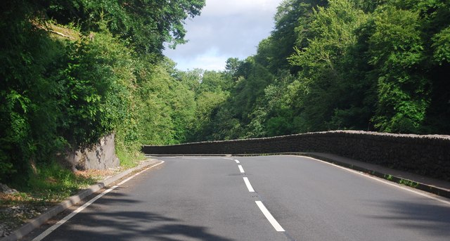
Capel Siloam Images

Images are sourced within 2km of 53.061397/-3.7473491 or Grid Reference SH8353. Thanks to Geograph Open Source API. All images are credited.

Capel Garmon Chambered Tomb View from the south west in 1980 <span class="nowrap"><a title="https://www.megalithic.co.uk/article.php?sid=5947" rel="nofollow ugc noopener" href="https://www.megalithic.co.uk/article.php?sid=5947">Link</a><img style="margin-left:2px;" alt="External link" title="External link - shift click to open in new window" src="https://s1.geograph.org.uk/img/external.png" width="10" height="10"/></span>
Capel Garmon Chambered Tomb
View from the south west in 1980 LinkExternal link
Bridge on B4406 Crossing Afon Conwy
Bridge on B4406
Crossing Afon Conwy
A5 at junction with B4406 Busy route for tourists
A5 at junction with B4406
Busy route for tourists
A5, Penmachno turning The A5 is a major trunk road that runs 260 miles from London to Holyhead. It follows the course of an old Roman Road (Watling Street).
Wikipedia: <span class="nowrap"><a title="http://en.wikipedia.org/wiki/A5_road_(Great_Britain)" rel="nofollow ugc noopener" href="http://en.wikipedia.org/wiki/A5_road_(Great_Britain)">Link</a><img style="margin-left:2px;" alt="External link" title="External link - shift click to open in new window" src="https://s1.geograph.org.uk/img/external.png" width="10" height="10"/></span>
A5, Penmachno turning
The A5 is a major trunk road that runs 260 miles from London to Holyhead. It follows the course of an old Roman Road (Watling Street). Wikipedia: LinkExternal link
Bend, A5 The A5 is a major trunk road that runs 260 miles from London to Holyhead. It follows the course of an old Roman Road (Watling Street).
Wikipedia: <span class="nowrap"><a title="http://en.wikipedia.org/wiki/A5_road_(Great_Britain)" rel="nofollow ugc noopener" href="http://en.wikipedia.org/wiki/A5_road_(Great_Britain)">Link</a><img style="margin-left:2px;" alt="External link" title="External link - shift click to open in new window" src="https://s1.geograph.org.uk/img/external.png" width="10" height="10"/></span>
Bend, A5
The A5 is a major trunk road that runs 260 miles from London to Holyhead. It follows the course of an old Roman Road (Watling Street). Wikipedia: LinkExternal link
A5 in the Conwy Valley The A5 is a major trunk road that runs 260 miles from London to Holyhead. It follows the course of an old Roman Road (Watling Street).
Wikipedia: <span class="nowrap"><a title="http://en.wikipedia.org/wiki/A5_road_(Great_Britain)" rel="nofollow ugc noopener" href="http://en.wikipedia.org/wiki/A5_road_(Great_Britain)">Link</a><img style="margin-left:2px;" alt="External link" title="External link - shift click to open in new window" src="https://s1.geograph.org.uk/img/external.png" width="10" height="10"/></span>
A5 in the Conwy Valley
The A5 is a major trunk road that runs 260 miles from London to Holyhead. It follows the course of an old Roman Road (Watling Street). Wikipedia: LinkExternal link
Bron Ruffydd by the A5 The A5 is a major trunk road that runs 260 miles from London to Holyhead. It follows the course of an old Roman Road (Watling Street).
Wikipedia: <span class="nowrap"><a title="http://en.wikipedia.org/wiki/A5_road_(Great_Britain)" rel="nofollow ugc noopener" href="http://en.wikipedia.org/wiki/A5_road_(Great_Britain)">Link</a><img style="margin-left:2px;" alt="External link" title="External link - shift click to open in new window" src="https://s1.geograph.org.uk/img/external.png" width="10" height="10"/></span>
Bron Ruffydd by the A5
The A5 is a major trunk road that runs 260 miles from London to Holyhead. It follows the course of an old Roman Road (Watling Street). Wikipedia: LinkExternal link
A5, eastbound The A5 is a major trunk road that runs 260 miles from London to Holyhead. It follows the course of an old Roman Road (Watling Street).
Wikipedia: <span class="nowrap"><a title="http://en.wikipedia.org/wiki/A5_road_(Great_Britain)" rel="nofollow ugc noopener" href="http://en.wikipedia.org/wiki/A5_road_(Great_Britain)">Link</a><img style="margin-left:2px;" alt="External link" title="External link - shift click to open in new window" src="https://s1.geograph.org.uk/img/external.png" width="10" height="10"/></span>
A5, eastbound
The A5 is a major trunk road that runs 260 miles from London to Holyhead. It follows the course of an old Roman Road (Watling Street). Wikipedia: LinkExternal link
Tea Bar in a layby, by the A5 The A5 is a major trunk road that runs 260 miles from London to Holyhead. It follows the course of an old Roman Road (Watling Street).
Wikipedia: <span class="nowrap"><a title="http://en.wikipedia.org/wiki/A5_road_(Great_Britain)" rel="nofollow ugc noopener" href="http://en.wikipedia.org/wiki/A5_road_(Great_Britain)">Link</a><img style="margin-left:2px;" alt="External link" title="External link - shift click to open in new window" src="https://s1.geograph.org.uk/img/external.png" width="10" height="10"/></span>
Tea Bar in a layby, by the A5
The A5 is a major trunk road that runs 260 miles from London to Holyhead. It follows the course of an old Roman Road (Watling Street). Wikipedia: LinkExternal link
A5, Nebo turning The A5 is a major trunk road that runs 260 miles from London to Holyhead. It follows the course of an old Roman Road (Watling Street).
Wikipedia: <span class="nowrap"><a title="http://en.wikipedia.org/wiki/A5_road_(Great_Britain)" rel="nofollow ugc noopener" href="http://en.wikipedia.org/wiki/A5_road_(Great_Britain)">Link</a><img style="margin-left:2px;" alt="External link" title="External link - shift click to open in new window" src="https://s1.geograph.org.uk/img/external.png" width="10" height="10"/></span>
A5, Nebo turning
The A5 is a major trunk road that runs 260 miles from London to Holyhead. It follows the course of an old Roman Road (Watling Street). Wikipedia: LinkExternal link
Farmland by the A5
Farmland by the A5
Sheep grazing by the A5
Approaching a sharp bend on the A5 The A5 is a major trunk road that runs 260 miles from London to Holyhead. It follows the course of an old Roman Road (Watling Street).
Wikipedia: <span class="nowrap"><a title="http://en.wikipedia.org/wiki/A5_road_(Great_Britain)" rel="nofollow ugc noopener" href="http://en.wikipedia.org/wiki/A5_road_(Great_Britain)">Link</a><img style="margin-left:2px;" alt="External link" title="External link - shift click to open in new window" src="https://s1.geograph.org.uk/img/external.png" width="10" height="10"/></span>
Approaching a sharp bend on the A5
The A5 is a major trunk road that runs 260 miles from London to Holyhead. It follows the course of an old Roman Road (Watling Street). Wikipedia: LinkExternal link
The A5 The A5 is a major trunk road that runs 260 miles from London to Holyhead. It follows the course of an old Roman Road (Watling Street).
Wikipedia: <span class="nowrap"><a title="http://en.wikipedia.org/wiki/A5_road_(Great_Britain)" rel="nofollow ugc noopener" href="http://en.wikipedia.org/wiki/A5_road_(Great_Britain)">Link</a><img style="margin-left:2px;" alt="External link" title="External link - shift click to open in new window" src="https://s1.geograph.org.uk/img/external.png" width="10" height="10"/></span>
The A5
The A5 is a major trunk road that runs 260 miles from London to Holyhead. It follows the course of an old Roman Road (Watling Street). Wikipedia: LinkExternal link
A5 in the Conwy valley The A5 is a major trunk road that runs 260 miles from London to Holyhead. It follows the course of an old Roman Road (Watling Street).
Wikipedia: <span class="nowrap"><a title="http://en.wikipedia.org/wiki/A5_road_(Great_Britain)" rel="nofollow ugc noopener" href="http://en.wikipedia.org/wiki/A5_road_(Great_Britain)">Link</a><img style="margin-left:2px;" alt="External link" title="External link - shift click to open in new window" src="https://s1.geograph.org.uk/img/external.png" width="10" height="10"/></span>
A5 in the Conwy valley
The A5 is a major trunk road that runs 260 miles from London to Holyhead. It follows the course of an old Roman Road (Watling Street). Wikipedia: LinkExternal link
A5, Padog The A5 is a major trunk road that runs 260 miles from London to Holyhead. It follows the course of an old Roman Road (Watling Street).
Wikipedia: <span class="nowrap"><a title="http://en.wikipedia.org/wiki/A5_road_(Great_Britain)" rel="nofollow ugc noopener" href="http://en.wikipedia.org/wiki/A5_road_(Great_Britain)">Link</a><img style="margin-left:2px;" alt="External link" title="External link - shift click to open in new window" src="https://s1.geograph.org.uk/img/external.png" width="10" height="10"/></span>
A5, Padog
The A5 is a major trunk road that runs 260 miles from London to Holyhead. It follows the course of an old Roman Road (Watling Street). Wikipedia: LinkExternal link
Narrow winding section of the A5 The A5 is a major trunk road that runs 260 miles from London to Holyhead. It follows the course of an old Roman Road (Watling Street).
Wikipedia: <span class="nowrap"><a title="http://en.wikipedia.org/wiki/A5_road_(Great_Britain)" rel="nofollow ugc noopener" href="http://en.wikipedia.org/wiki/A5_road_(Great_Britain)">Link</a><img style="margin-left:2px;" alt="External link" title="External link - shift click to open in new window" src="https://s1.geograph.org.uk/img/external.png" width="10" height="10"/></span>
Narrow winding section of the A5
The A5 is a major trunk road that runs 260 miles from London to Holyhead. It follows the course of an old Roman Road (Watling Street). Wikipedia: LinkExternal link
Pont Newydd The coping layer on the parapet is reinforced by metal rods.
Pont Newydd
The coping layer on the parapet is reinforced by metal rods.
Show me another place!

Capel Siloam is located at Grid Ref: SH8353 (Lat: 53.061397, Lng: -3.7473491)

Unitary Authority: Conwy

Police Authority: North Wales

What 3 Words

///folk.skylights.among. Near Betws-y-Coed, Conwy

Nearby Locations

Capel Siloam

Related Wikis

Conwy Falls

Conwy Falls (Welsh: Rhaeadr y Graig Lwyd) is a waterfall on the River Conwy at Bro Garmon in Conwy County Borough in Wales. The falls and surrounding area...

River Machno

River Machno (Welsh: Afon Machno) is a river in Snowdonia in north-west Wales. It is the first major tributary of the River Conwy, which it joins south...

St Garmon's Church, Capel Garmon

St Garmon's Church, Capel Garmon, is a redundant Anglican parish church in the village of Capel Garmon, Conwy, Wales. The church was restored and reseated...

Bro Garmon

Bro Garmon is a sparsely populated community in Conwy County Borough, in Wales. It is located on the eastern side of the Conwy Valley, stretching from...

Nearby Amenities

Located within 500m of 53.061397,-3.7473491
Created By: Merkaartor 0.12
Lat/Long: 53.0647835/-3.7520241
Created By: Merkaartor 0.12
Lat/Long: 53.064429/-3.7522172
Created By: Merkaartor 0.12
Lat/Long: 53.061814/-3.752408
Created By: Merkaartor 0.12
Lat/Long: 53.06148/-3.7528009
Created By: Merkaartor 0.12
Lat/Long: 53.0606766/-3.7526249
Created By: Merkaartor 0.12
Lat/Long: 53.0602639/-3.752344
Created By: Merkaartor 0.12
Lat/Long: 53.0600447/-3.7520348
Created By: Merkaartor 0.12
Lat/Long: 53.059209/-3.750649
Created By: Merkaartor 0.12
Lat/Long: 53.058734/-3.750291
Created By: Merkaartor 0.12
Lat/Long: 53.0581619/-3.7500071
Created By: Merkaartor 0.12
Lat/Long: 53.0574479/-3.749991
Created By: Merkaartor 0.12
Lat/Long: 53.0632298/-3.7489664
Created By: Merkaartor 0.12
Lat/Long: 53.0630718/-3.7487089
Created By: Merkaartor 0.12
Lat/Long: 53.0630557/-3.7484353
Created By: Merkaartor 0.12
Lat/Long: 53.0632149/-3.74792
Created By: Merkaartor 0.12
Lat/Long: 53.0638319/-3.7465909
Created By: Merkaartor 0.12
Lat/Long: 53.0639229/-3.7462895
Created By: Merkaartor 0.12
Lat/Long: 53.0639164/-3.7460589
Created By: Merkaartor 0.12
Lat/Long: 53.0638197/-3.7457424
Created By: Merkaartor 0.12
Lat/Long: 53.063694/-3.7455546
Created By: Merkaartor 0.12
Lat/Long: 53.0631717/-3.7452971
Created By: Merkaartor 0.12
Lat/Long: 53.0629268/-3.7451576
Created By: Merkaartor 0.12
Lat/Long: 53.0627688/-3.7448841
Created By: Merkaartor 0.12
Lat/Long: 53.0622917/-3.7437736
Created By: Merkaartor 0.12
Lat/Long: 53.0606862/-3.7413006
Post Box
Post Box Type: lamp
Source: survey
Lat/Long: 53.0619492/-3.7430454
Removed Amenity: telephone
Lat/Long: 53.0619886/-3.7431178
Leisure: picnic_table
Lat/Long: 53.061736/-3.7429623
Direction: ESE
Generator Method: photovoltaic
Generator Output Electricity: yes
Generator Solar Modules: 14
Generator Source: solar
Generator Type: solar_photovoltaic_panel
Location: roof
Power: generator
Lat/Long: 53.0608615/-3.7532273
The data included in this document is from www.openstreetmap.org. The data is made available under ODbL.

Have you been to Capel Siloam?

Leave your review of Capel Siloam below (or comments, questions and feedback).