Armsheugh Plantation
Wood, Forest in Ayrshire
Scotland
Armsheugh Plantation
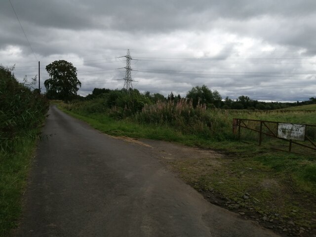
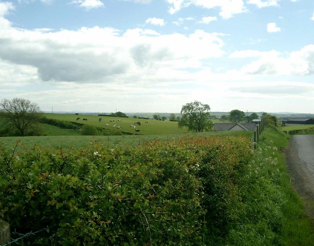
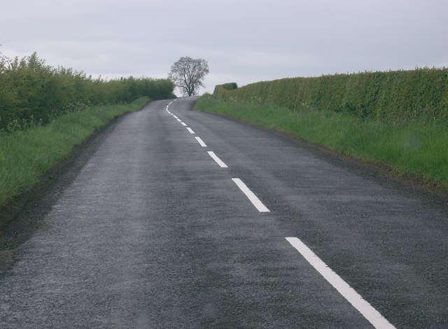
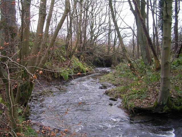
Armsheugh Plantation is a picturesque woodland located in the region of Ayrshire, Scotland. Spanning over a vast area, this enchanting forest is known for its diverse collection of trees and rich biodiversity.
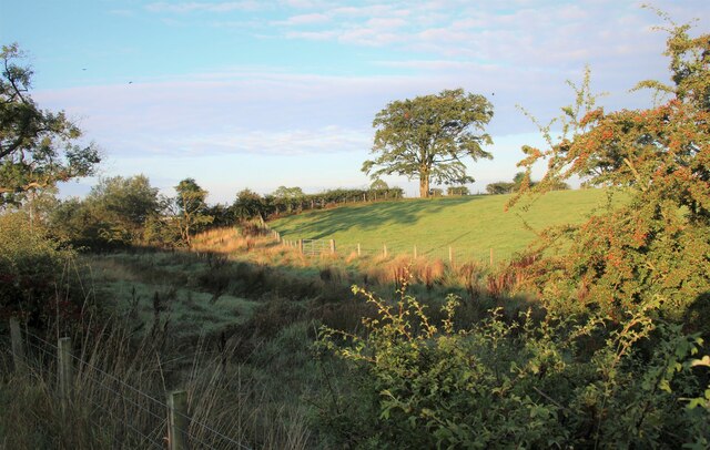
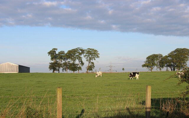
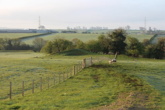
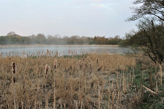
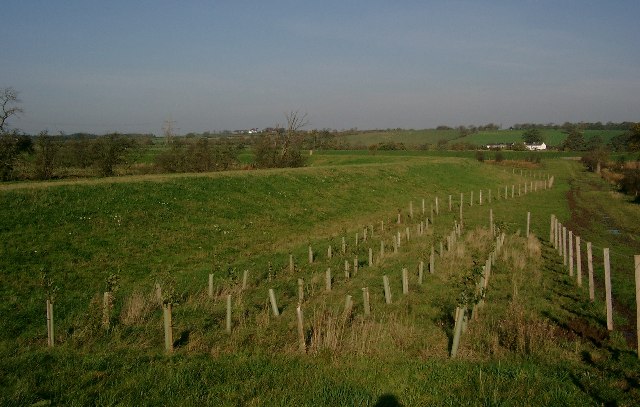
Covering approximately 200 acres, Armsheugh Plantation is home to a wide range of tree species, including oak, beech, Scots pine, and birch. These towering trees create a dense canopy, providing a habitat for numerous species of birds, insects, and mammals. The forest floor is adorned with carpets of bluebells, wildflowers, and ferns, adding to the natural beauty of the plantation.
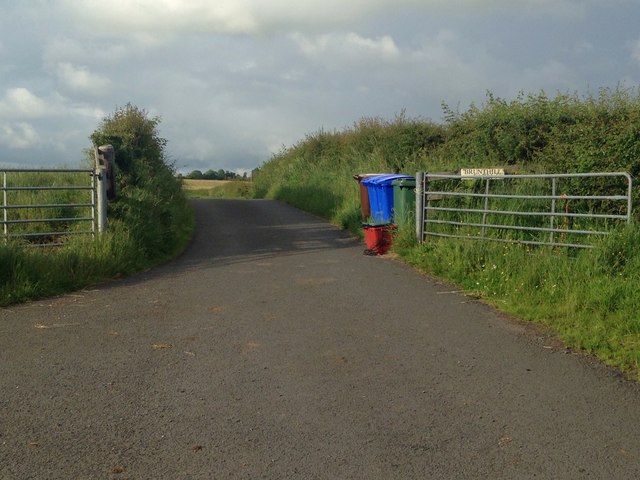
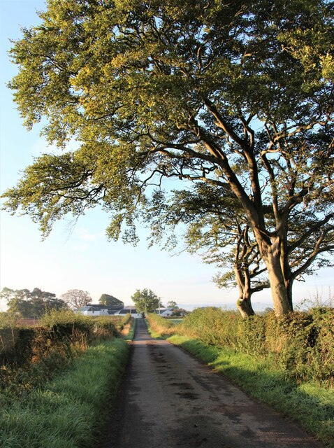
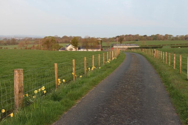
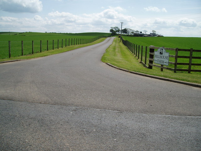
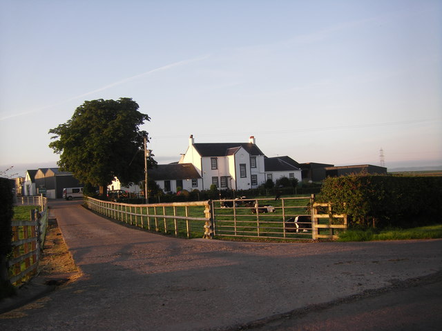
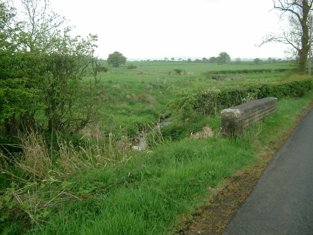
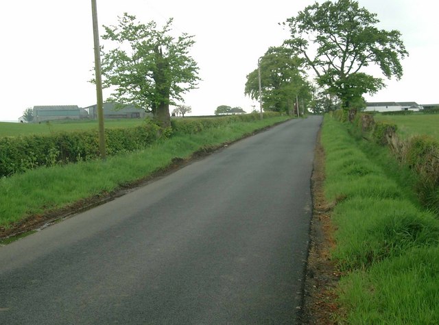
The plantation is a popular destination for nature enthusiasts and hikers, offering a network of well-maintained trails that wind through the woods. These paths provide visitors with the opportunity to explore the stunning landscape, soak in the serenity, and observe the local wildlife.
Armsheugh Plantation is also known for its historical significance. The area has been utilized for timber production since the early 19th century, and remnants of old sawmills and charcoal pits can still be found within the woods. This historical presence adds a layer of intrigue and charm to the plantation.
In addition to its natural and historical attractions, Armsheugh Plantation offers ample amenities for visitors. There are picnic areas, benches, and information boards scattered throughout the forest, ensuring a comfortable and informative experience for all who visit.
Overall, Armsheugh Plantation in Ayrshire is a captivating woodland that showcases the beauty of Scotland's natural landscape. Its rich biodiversity, well-maintained trails, and historical elements make it a must-visit destination for nature lovers and history enthusiasts alike.
If you have any feedback on the listing, please let us know in the comments section below.
Armsheugh Plantation Images
Images are sourced within 2km of 55.615499/-4.4310383 or Grid Reference NS4638. Thanks to Geograph Open Source API. All images are credited.
Armsheugh Plantation is located at Grid Ref: NS4638 (Lat: 55.615499, Lng: -4.4310383)
Unitary Authority: East Ayrshire
Police Authority: Ayrshire
What 3 Words
///juggled.reference.breezy. Near Galston, East Ayrshire
Nearby Locations
Related Wikis

Silverwood, Ayrshire
Silverwood in the Parish of Kilmarnock lies in East Ayrshire, Scotland. This was once a small estate with a mansion house; it is now a farm. The plantation...
Shawhill Estate
Shawhill was an estate within a wide meander of the River Irvine in Hurlford, East Ayrshire, Parish of Riccarton, Scotland. Shawhill House (NS 245954 637634...
Hurlford
Hurlford (Scottish Gaelic: Baile Àtha Cliath) is a village in East Ayrshire, Scotland. It has a population of 4,968. Hurlford's former names include Whirlford...
Hurlford United F.C.
Hurlford United Football Club are a Scottish football club based in Hurlford, near Kilmarnock, Ayrshire. Nicknamed The Ford, they were formed in 1912 and...
Loudoun Kirk
Loudoun Kirk is a disused church located about one mile west of Loudoun Castle, East Ayrshire. It served as Loudoun's parish church until some point after...

Moscow, East Ayrshire
Moscow is a hamlet in East Ayrshire in Scotland. It is on the A719 road some 4 miles (6 kilometres) east of Kilmarnock. In 2006 its population was reported...

Newfarm Loch
New Farm Loch was situated in a low-lying area between the farms of Holehouse and New Farm in the Parish of Kilmarnock, New Farm Loch, East Ayrshire in...

New Farm Loch
New Farm Loch (Scottish Gaelic: Loch Tuathanais Ùr) is a suburb to the North-East of Kilmarnock, East Ayrshire, Scotland and was created in the late 1960s...
Nearby Amenities
Located within 500m of 55.615499,-4.4310383Have you been to Armsheugh Plantation?
Leave your review of Armsheugh Plantation below (or comments, questions and feedback).