Craigs Hill Wood
Wood, Forest in Ayrshire
Scotland
Craigs Hill Wood

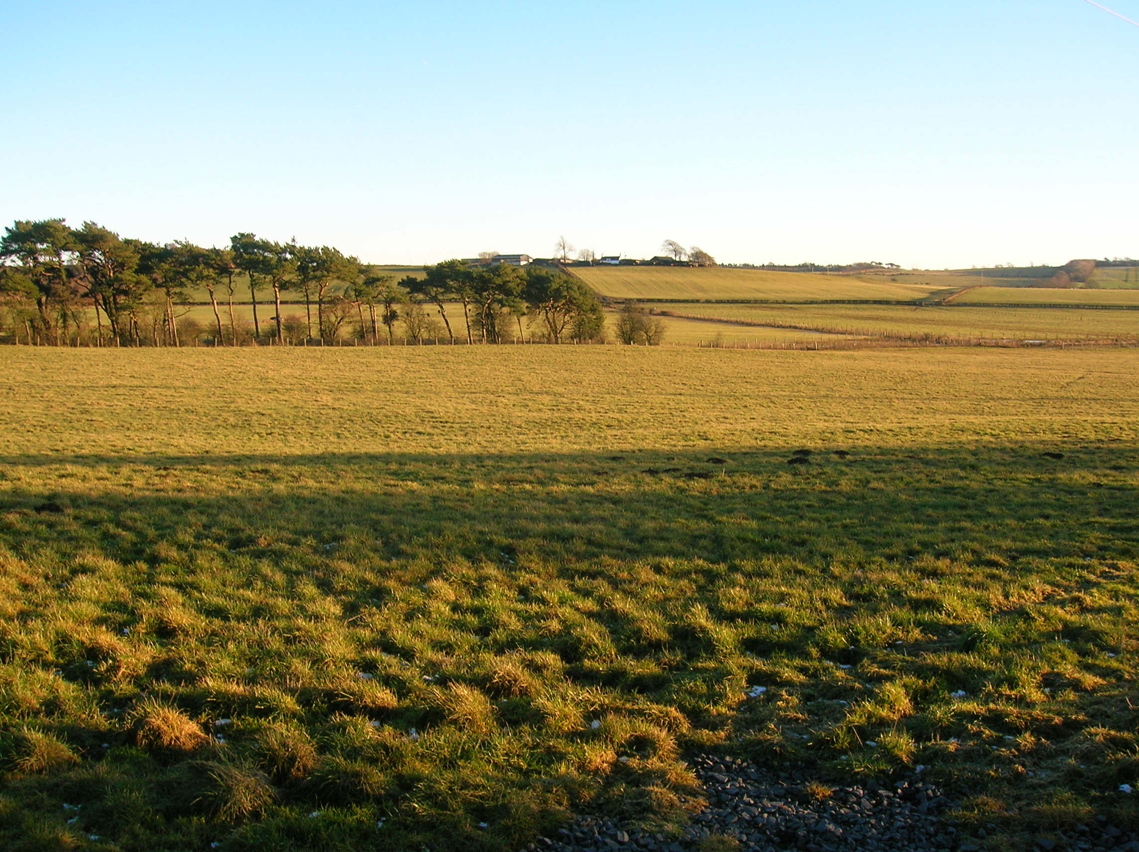
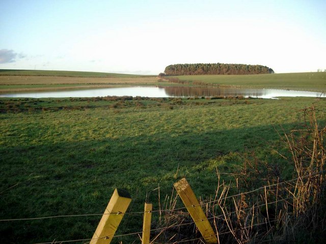
Craigs Hill Wood is a picturesque forest located in Ayrshire, Scotland. Covering an area of approximately 50 acres, it is an enchanting natural haven that attracts visitors with its breathtaking beauty and diverse wildlife.
The wood is primarily composed of native broadleaf trees, such as oak, birch, and beech, which create a dense canopy providing shade and shelter. The forest floor is adorned with a vibrant carpet of wildflowers, including bluebells, primroses, and wood anemones, which add a splash of color to the surroundings.
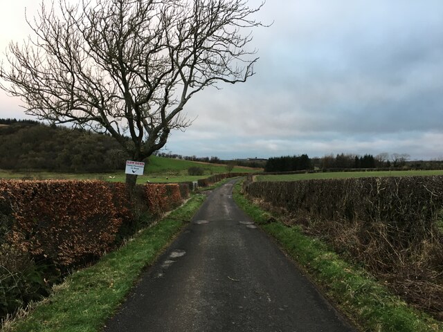
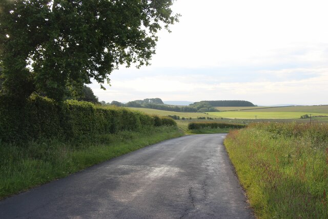
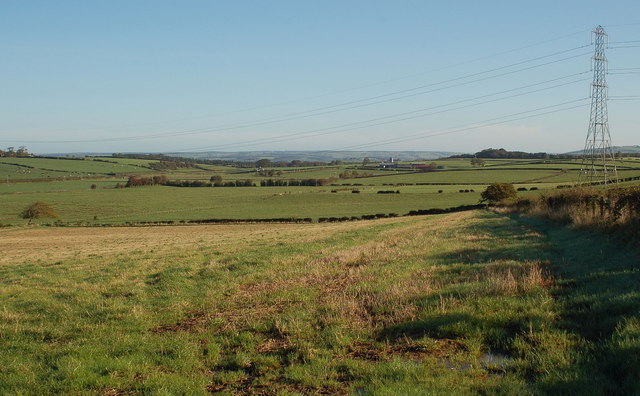
Tranquil walking trails wind their way through the wood, offering visitors the chance to explore and immerse themselves in nature. These paths lead to several viewpoints, providing stunning vistas of the surrounding countryside and the nearby River Ayr.
Craigs Hill Wood is also home to a plethora of wildlife. Birdwatchers can spot a variety of species, including woodpeckers, owls, and thrushes. Squirrels scamper through the treetops, while deer can sometimes be glimpsed grazing in the clearings.
The wood is managed by a local conservation group, ensuring the preservation of its natural beauty and biodiversity. They organize educational programs and guided walks, allowing visitors to learn more about the flora and fauna that inhabit this unique woodland ecosystem.
Whether you are seeking a peaceful retreat, a nature-filled adventure, or simply a place to reconnect with the great outdoors, Craigs Hill Wood in Ayrshire offers a truly memorable experience for all who visit.
If you have any feedback on the listing, please let us know in the comments section below.
Craigs Hill Wood Images
Images are sourced within 2km of 55.552861/-4.4273422 or Grid Reference NS4631. Thanks to Geograph Open Source API. All images are credited.


Craigs Hill Wood is located at Grid Ref: NS4631 (Lat: 55.552861, Lng: -4.4273422)
Unitary Authority: South Ayrshire
Police Authority: Ayrshire
What 3 Words
///spoke.outwards.basics. Near Mauchline, East Ayrshire
Nearby Locations
Related Wikis
Carnell Estate
Carnell House is a mansion house and estate near the village of Hurlford about 5 miles (8.0 km) south-east of Kilmarnock in South Ayrshire, Scotland, 25...

Garrochburn Goods Depot
Garrochburn Goods Depot or Garrochburn Siding was a railway freight facility located off the B744 near the hamlet of Crosshands that lies north-west of...
Loch Brown
Loch Brown, also known in Scots as Loch Broun, Broon or Broom, was situated in a kettle hole in the mid-Ayrshire clayland near Crosshands. It is nowadays...
Lochlea, South Ayrshire
Lochlea or Lochlie (pronounced 'Lochli') was situated in a low-lying area between the farms and dwellings of Lochlea and Lochside in the Parish of Tarbolton...
Nearby Amenities
Located within 500m of 55.552861,-4.4273422Have you been to Craigs Hill Wood?
Leave your review of Craigs Hill Wood below (or comments, questions and feedback).