Broombrae Plantation
Wood, Forest in Ayrshire
Scotland
Broombrae Plantation
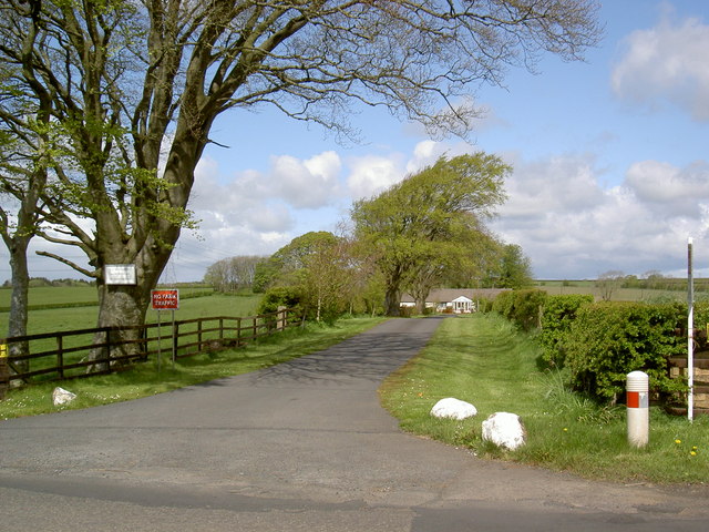
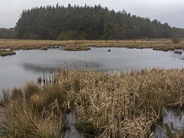
Broombrae Plantation is a picturesque woodland located in Ayrshire, Scotland. Spanning across a vast area, the plantation is renowned for its tranquil atmosphere, stunning natural beauty, and diverse range of flora and fauna.
Covering both lowland and upland areas, Broombrae Plantation features a mix of broadleaf and coniferous trees, including oak, beech, birch, and pine. The varying tree species create a rich tapestry of colors throughout the year, with vibrant greens in the summer and warm hues of red and gold in the autumn.
The forest floor is carpeted with an array of wildflowers, adding to the plantation's enchanting appeal. Visitors can enjoy leisurely strolls along well-maintained paths, immersing themselves in the peaceful ambiance and taking in the sights and sounds of nature.
Broombrae Plantation is not only a haven for nature lovers but also provides a habitat for numerous wildlife species. It is home to various bird species, including woodpeckers, owls, and finches, as well as mammals such as deer, squirrels, and rabbits. Nature enthusiasts can spot these animals while exploring the woodland, making it a popular destination for wildlife photography and birdwatching.
In addition to its natural wonders, Broombrae Plantation offers recreational activities for visitors. It boasts picnic areas and benches where visitors can relax and enjoy a leisurely lunch amidst the serene surroundings. The plantation also provides educational opportunities, with guided nature walks and workshops organized throughout the year.
Overall, Broombrae Plantation is a captivating woodland retreat that offers a combination of beauty, tranquility, and recreational amenities. It is a must-visit destination for those seeking solace in nature or simply looking to appreciate Scotland's rich natural heritage.
If you have any feedback on the listing, please let us know in the comments section below.
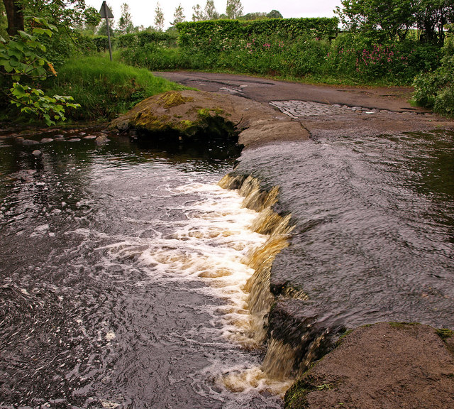
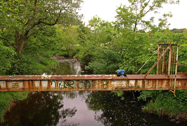
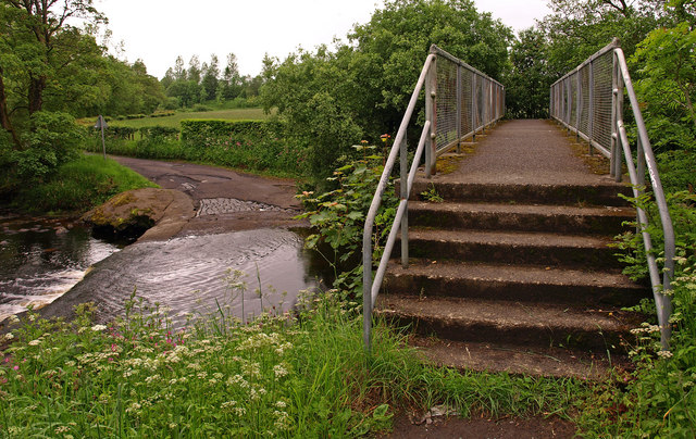
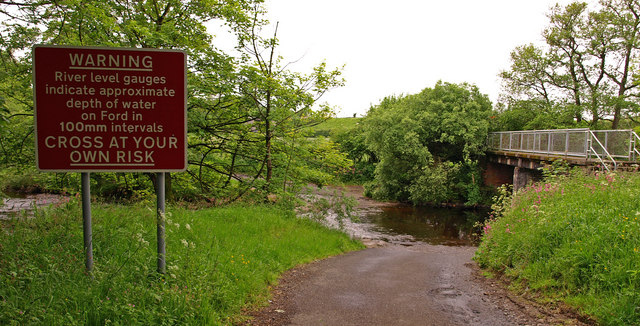
Broombrae Plantation Images
Images are sourced within 2km of 55.633856/-4.4578996 or Grid Reference NS4540. Thanks to Geograph Open Source API. All images are credited.


Broombrae Plantation is located at Grid Ref: NS4540 (Lat: 55.633856, Lng: -4.4578996)
Unitary Authority: East Ayrshire
Police Authority: Ayrshire
What 3 Words
///perplexed.braced.prowess. Near Fenwick, East Ayrshire
Related Wikis
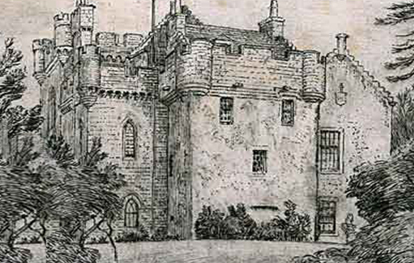
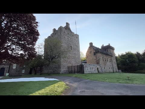
Craufurdland Castle
Craufurdland Castle is a rebuilt tower house, originating in the 16th century, about 2.5 miles (4.0 km) north east of Kilmarnock, East Ayrshire, Scotland...

Silverwood, Ayrshire
Silverwood in the Parish of Kilmarnock lies in East Ayrshire, Scotland. This was once a small estate with a mansion house; it is now a farm. The plantation...

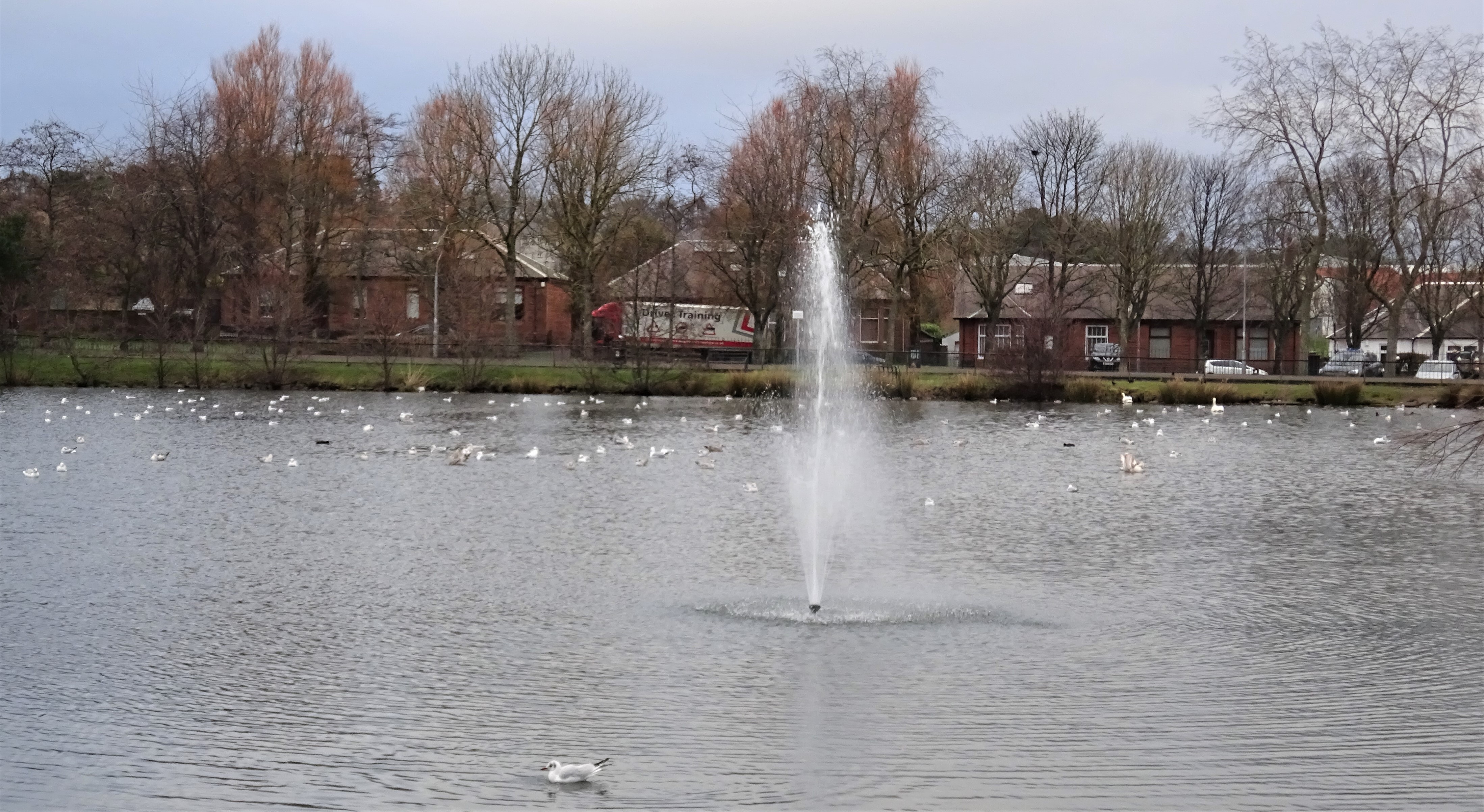
Newfarm Loch
New Farm Loch was situated in a low-lying area between the farms of Holehouse and New Farm in the Parish of Kilmarnock, New Farm Loch, East Ayrshire in...

New Farm Loch
New Farm Loch (Scottish Gaelic: Loch Tuathanais Ùr) is a suburb to the North-East of Kilmarnock, East Ayrshire, Scotland and was created in the late 1960s...
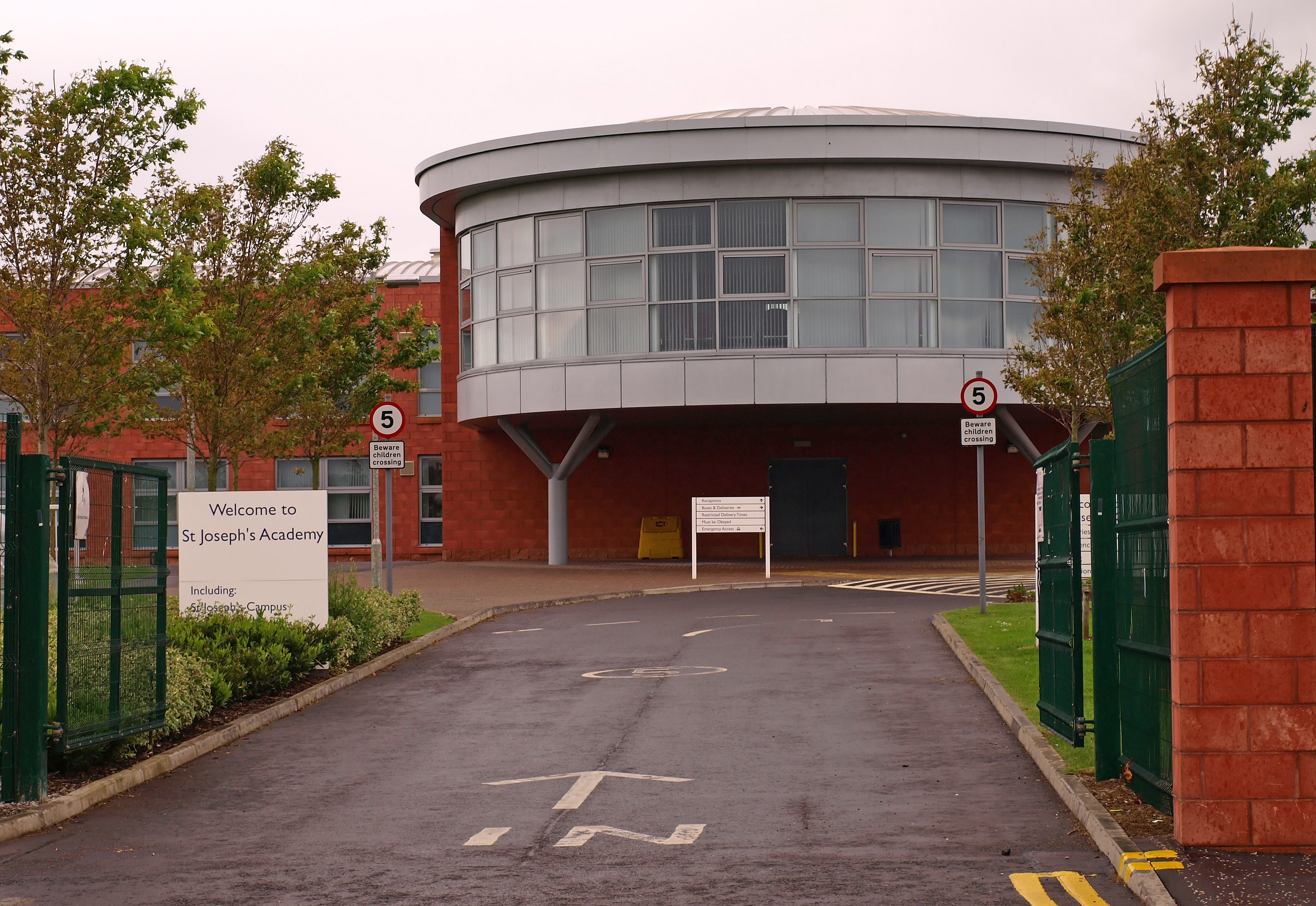
Saint Joseph's Academy, Kilmarnock
Saint Josephs' Academy (Scottish Gaelic: Acadamaidh Naomh Iòsaph) is a Roman Catholic secondary school in New Farm Loch, Kilmarnock, East Ayrshire, Scotland...

Rowallan Castle
Rowallan Castle (Scottish Gaelic: Caisteal an Rubha Àlainn) is an ancient castle located in Scotland. The castle stands on the banks of the Carmel Water...

Bonnyton Thistle F.C.
Bonnyton Thistle Football Club is a Scottish football team based in the Bonnyton area in the town of Kilmarnock, East Ayrshire. They are members of the...
Kay Park
Kay Park is a 30 acres (12 ha) park in Kilmarnock, East Ayrshire, Scotland. The money for its purchase was bequeathed to the town of Kilmarnock by former...
Related Videos
Dean Castle Country Park walk with Ollie the lazy dog #hiking #ayrshire #visitscotland
Ollie the Labradoodle had a springtime adventure at Dean Castle Country Park in Kilmarnock on a sunny Saturday morning.

Deer sleeping at Dean Castle Country Park, Kilmarnock #cute #shorts #viral #new #travel #enjoylife
shorts #viral #youtubeshorts #new #borntobefree #uk #unitedkingdom #travel #enjoylife #scotland #deer #bambi #cute #animals.

Quick shot of Dean Castle Country Park, Kilmarnock #shorts #viral #new #travel #enjoylife #scotland
shorts #viral #youtubeshorts #new #borntobefree #uk #unitedkingdom #travel #enjoylife #scotland #castle #countrygarden.

SCOTLAND: Dean Castle Country Park | Recently Restored
Challenge: Find Dolly! Recently restored Dean Castle in Kilmarnock, Ayrshire https://deancastlecountrypark.com/dean-castle/ ...
Nearby Amenities
Located within 500m of 55.633856,-4.4578996Have you been to Broombrae Plantation?
Leave your review of Broombrae Plantation below (or comments, questions and feedback).