Craufurdland Castle

Heritage Site in Ayrshire

Scotland

Craufurdland Castle

A77 at Assloss After travelling over 70 miles through the Galloway Hills on a journey to Glasgow with wind speeds in Scotland over the 100mph mark it came as quite a surprise to see this information sign on the A77 that "high winds were forecast". They'd already arrived and we'd driven through them past many fallen trees and debris on the road. Some of the worst wind conditions every experienced in Scotland happened today and continued through the night. Well, I suppose that at least the signs didn't display their usual messages of "Remember to check your tyres" and "Fill your windscreen water bottle". We should be thankful for small blessings.
A77 at Assloss Credit: Andy Farrington

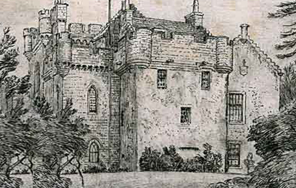
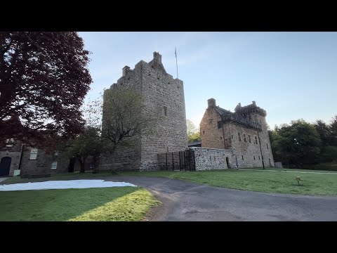
Craufurdland Castle is a historic landmark located in Ayrshire, Scotland. Situated on a sprawling estate, the castle dates back to the 12th century and is renowned for its architectural beauty and rich history. It is considered a significant heritage site in the region.

The castle is a prime example of Scottish Baronial architecture, featuring a distinctive tower and turrets that give it a fairytale-like appearance. It has been well-preserved over the centuries, ensuring that visitors can experience its original grandeur. The castle is surrounded by beautiful gardens and picturesque landscapes, creating a serene and idyllic atmosphere.

Craufurdland Castle has been inhabited by the Craufurd family for over 800 years, making it one of the oldest continuously inhabited castles in Scotland. The family's descendants still reside in the castle today, maintaining its upkeep and preserving its historical significance.

Visitors to Craufurdland Castle have the opportunity to explore its various rooms, including the great hall, drawing room, and bedrooms. The castle also houses a museum that showcases a collection of artifacts and memorabilia, offering a glimpse into its past.

The estate surrounding the castle is a popular destination for outdoor activities such as hiking, fishing, and wildlife spotting. Additionally, the castle hosts various events throughout the year, including weddings, corporate functions, and cultural festivals, adding to its appeal as a tourist attraction.

Overall, Craufurdland Castle is a remarkable heritage site that offers visitors a chance to step back in time and immerse themselves in Scotland's rich history.

If you have any feedback on the listing, please let us know in the comments section below.

Craufurdland Castle Images

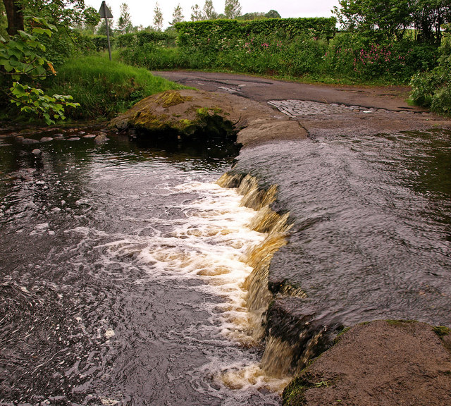
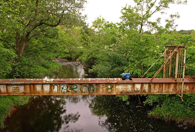
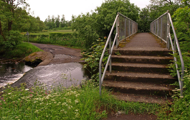
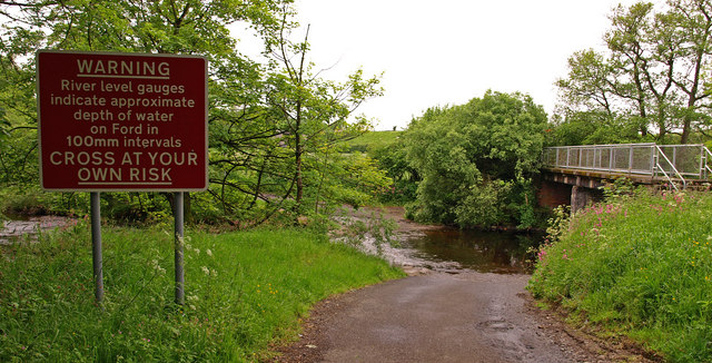
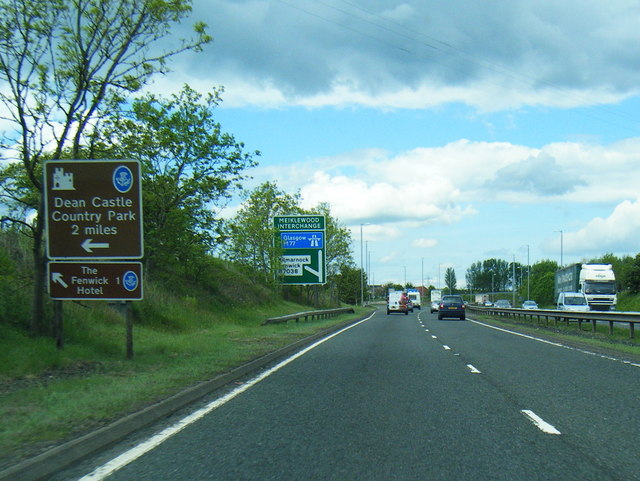
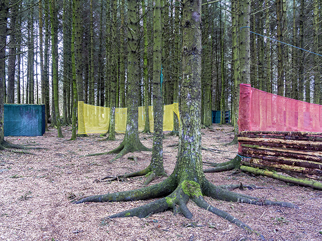
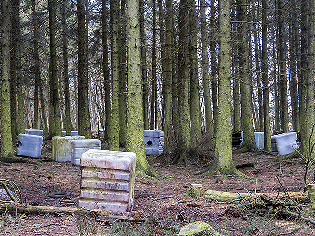
Images are sourced within 2km of 55.633/-4.455 or Grid Reference NS4540. Thanks to Geograph Open Source API. All images are credited.

A77 at Assloss After travelling over 70 miles through the Galloway Hills on a journey to Glasgow with wind speeds in Scotland over the 100mph mark it came as quite a surprise to see this information sign on the A77 that "high winds were forecast". They'd already arrived and we'd driven through them past many fallen trees and debris on the road. Some of the worst wind conditions every experienced in Scotland happened today and continued through the night. Well, I suppose that at least the signs didn't display their usual messages of "Remember to check your tyres" and "Fill your windscreen water bottle". We should be thankful for small blessings.
A77 at Assloss
After travelling over 70 miles through the Galloway Hills on a journey to Glasgow with wind speeds in Scotland over the 100mph mark it came as quite a surprise to see this information sign on the A77 that "high winds were forecast". They'd already arrived and we'd driven through them past many fallen trees and debris on the road. Some of the worst wind conditions every experienced in Scotland happened today and continued through the night. Well, I suppose that at least the signs didn't display their usual messages of "Remember to check your tyres" and "Fill your windscreen water bottle". We should be thankful for small blessings.
A77 near Dalmusternock The A77 splits in about ½ mile from this point into the A77 and M77, both roads running side by side to Newton Mearns.
A77 near Dalmusternock
The A77 splits in about ½ mile from this point into the A77 and M77, both roads running side by side to Newton Mearns.
Dalmusternock Farm Farm sign at farm road.
Dalmusternock Farm
Farm sign at farm road.
Little Mosside Cottage on minor road with passing places.
Little Mosside
Cottage on minor road with passing places.
Disused Hotel, Kilmarnock On the outskirts of the town beside the B7038.
Disused Hotel, Kilmarnock
On the outskirts of the town beside the B7038.
Kilmarnock, B7038 Houses at Burns Crescent
Kilmarnock, B7038
Houses at Burns Crescent
Craufurdland Water near Kilmarnock Looking over the Ford. Some of the old cobbles have been exposed on the road.
Craufurdland Water near Kilmarnock
Looking over the Ford. Some of the old cobbles have been exposed on the road.
Craufurdland Water , Kilmarnock Viewed from the ford showing the footbridge and the water pipe behind.
Craufurdland Water , Kilmarnock
Viewed from the ford showing the footbridge and the water pipe behind.
Craufurdland Water , Kilmarnock The ford at a low water.
Craufurdland Water , Kilmarnock
The ford at a low water.
Craufurdland Water , Kilmarnock Encased water pipe crossing the water.
Craufurdland Water , Kilmarnock
Encased water pipe crossing the water.
Footbridge over Craufurdland Water , Kilmarnock Ford on the left.
Footbridge over Craufurdland Water , Kilmarnock
Ford on the left.
Warning Sign at Ford Craufurdland Water, Kilmarnock.
Warning Sign at Ford
Craufurdland Water, Kilmarnock.
A77 nears Meiklewood Interchange
A77 about to end and become the M77
Moss Wood Moss Wood viewed in a wet day in March, with mist, rain and low lying cloud limiting visibility. The wood is used as a paintball centre, blue netting can be seen in the image - presumably to prevent rounds from straying outside the wood.
Moss Wood
Moss Wood viewed in a wet day in March, with mist, rain and low lying cloud limiting visibility. The wood is used as a paintball centre, blue netting can be seen in the image - presumably to prevent rounds from straying outside the wood.
Paintball centre Coloured netting and outbuildings at the paintball centre in Moss Wood near Meikle Mosside.
Paintball centre
Coloured netting and outbuildings at the paintball centre in Moss Wood near Meikle Mosside.
Targets at paintball centre Assorted targets - presumably for shooting practice at the paintball centre near Meikle Mosside.
Targets at paintball centre
Assorted targets - presumably for shooting practice at the paintball centre near Meikle Mosside.
Paintball site near Meikle Mosside Woodland used as a paintball site near Meikle Mosside - the square objects presumably serve as cover for the those participating.
Paintball site near Meikle Mosside
Woodland used as a paintball site near Meikle Mosside - the square objects presumably serve as cover for the those participating.
Show me another place!

Craufurdland Castle is located at Grid Ref: NS4540 (Lat: 55.633, Lng: -4.455)

Unitary Authority: East Ayrshire

Police Authority: Ayrshire

What 3 Words

///wiring.sundial.ankle. Near Fenwick, East Ayrshire

Related Wikis

Craufurdland Castle

Craufurdland Castle is a rebuilt tower house, originating in the 16th century, about 2.5 miles (4.0 km) north east of Kilmarnock, East Ayrshire, Scotland...

Silverwood, Ayrshire

Silverwood in the Parish of Kilmarnock lies in East Ayrshire, Scotland. This was once a small estate with a mansion house; it is now a farm. The plantation...

Newfarm Loch

New Farm Loch was situated in a low-lying area between the farms of Holehouse and New Farm in the Parish of Kilmarnock, New Farm Loch, East Ayrshire in...

New Farm Loch

New Farm Loch (Scottish Gaelic: Loch Tuathanais Ùr) is a suburb to the North-East of Kilmarnock, East Ayrshire, Scotland and was created in the late 1960s...

Saint Joseph's Academy, Kilmarnock

Saint Josephs' Academy (Scottish Gaelic: Acadamaidh Naomh Iòsaph) is a Roman Catholic secondary school in New Farm Loch, Kilmarnock, East Ayrshire, Scotland...

Bonnyton Thistle F.C.

Bonnyton Thistle Football Club is a Scottish football team based in the Bonnyton area in the town of Kilmarnock, East Ayrshire. They are members of the...

Rowallan Castle

Rowallan Castle (Scottish Gaelic: Caisteal an Rubha Àlainn) is an ancient castle located in Scotland. The castle stands on the banks of the Carmel Water...

Shawhill Estate

Shawhill was an estate within a wide meander of the River Irvine in Hurlford, East Ayrshire, Parish of Riccarton, Scotland. Shawhill House (NS 245954 637634...

Related Videos

Dean Castle Country Park walk with Ollie the lazy dog #hiking #ayrshire #visitscotland

Ollie the Labradoodle had a springtime adventure at Dean Castle Country Park in Kilmarnock on a sunny Saturday morning.

Deer sleeping at Dean Castle Country Park, Kilmarnock #cute #shorts #viral #new #travel #enjoylife

shorts #viral #youtubeshorts #new #borntobefree #uk #unitedkingdom #travel #enjoylife #scotland #deer #bambi #cute #animals.

Quick shot of Dean Castle Country Park, Kilmarnock #shorts #viral #new #travel #enjoylife #scotland

shorts #viral #youtubeshorts #new #borntobefree #uk #unitedkingdom #travel #enjoylife #scotland #castle #countrygarden.

SCOTLAND: Dean Castle Country Park | Recently Restored

Challenge: Find Dolly! Recently restored Dean Castle in Kilmarnock, Ayrshire https://deancastlecountrypark.com/dean-castle/ ...

Nearby Amenities

Located within 500m of 55.633,-4.455
Power: tower
Lat/Long: 55.6307321/-4.4600123
Power: tower
Lat/Long: 55.6346955/-4.4609619
Ford: yes
Lat/Long: 55.6359088/-4.4499827
Power: pole
Lat/Long: 55.628966/-4.4546557
Power: pole
Lat/Long: 55.6294777/-4.453593
Power: pole
Lat/Long: 55.6300459/-4.4524324
Power: pole
Lat/Long: 55.6305082/-4.4514614
Power: pole
Lat/Long: 55.6310187/-4.4504237
Power: pole
Lat/Long: 55.6316044/-4.4492068
Power: pole
Lat/Long: 55.6320197/-4.4483192
Power: pole
Lat/Long: 55.632529/-4.4472732
Power: pole
Lat/Long: 55.6285472/-4.4558204
Power: pole
Lat/Long: 55.628919/-4.4565581
Power: pole
Lat/Long: 55.6293742/-4.4574457
Power: pole
Lat/Long: 55.6299259/-4.4586355
Power: pole
Lat/Long: 55.6369599/-4.4579634
Power: pole
Lat/Long: 55.6364421/-4.4566737
Power: pole
Lat/Long: 55.6312963/-4.461735
Power: pole
Lat/Long: 55.6308963/-4.4608702
Power: pole
Lat/Long: 55.6304058/-4.4506248
The data included in this document is from www.openstreetmap.org. The data is made available under ODbL.

Have you been to Craufurdland Castle?

Leave your review of Craufurdland Castle below (or comments, questions and feedback).