Crawford Br
Heritage Site in Dorset
England
Crawford Br
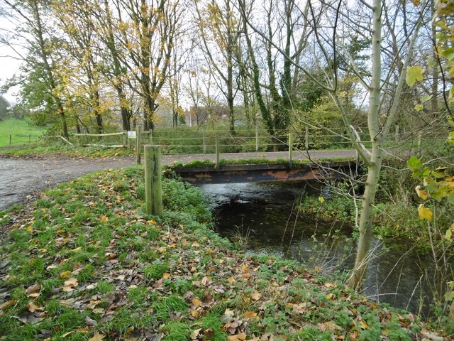
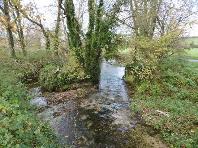
Crawford Bridge, located in the county of Dorset, England, is a significant heritage site that holds historical and cultural significance. The bridge crosses over the River Piddle, a picturesque waterway that meanders through the beautiful Dorset countryside. It is believed to have been constructed in the 16th century and is an excellent example of medieval architecture.
Crawford Bridge is an ancient packhorse bridge, designed to carry horse-drawn carts laden with goods and merchandise. It has maintained its original structure remarkably well over the centuries, showcasing its durable craftsmanship and engineering. The bridge is made of local stone and features three sturdy arches that gracefully span the river, providing a picturesque view for visitors.
The bridge's historical significance lies in its association with the ancient trade routes that connected various parts of Dorset. It played a crucial role in facilitating the transportation of goods and promoting economic activity in the region. Today, Crawford Bridge stands as a testament to the area's rich heritage and serves as a reminder of the thriving trade networks that once existed.
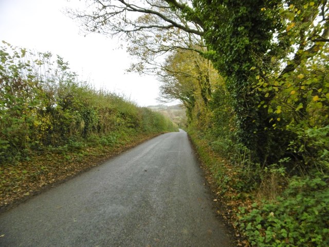
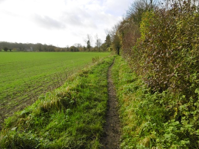
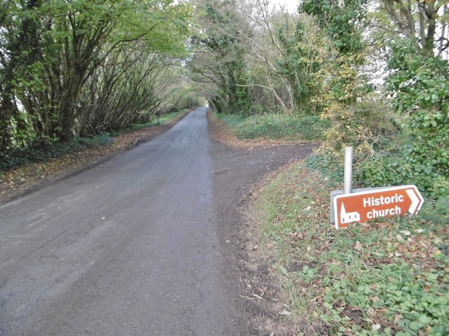
Surrounded by lush greenery and tranquil surroundings, Crawford Bridge offers an idyllic setting for nature enthusiasts and history lovers alike. It attracts visitors from near and far who come to admire its architectural beauty and soak in the peaceful ambiance. The bridge is also a popular spot for photographers and artists who are drawn to its timeless charm.
Overall, Crawford Bridge in Dorset is a cherished heritage site that showcases the region's architectural heritage and historical significance. Its role in facilitating trade and connecting communities makes it an essential part of the area's cultural identity.
If you have any feedback on the listing, please let us know in the comments section below.
Crawford Br Images
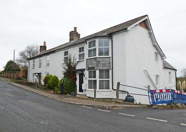
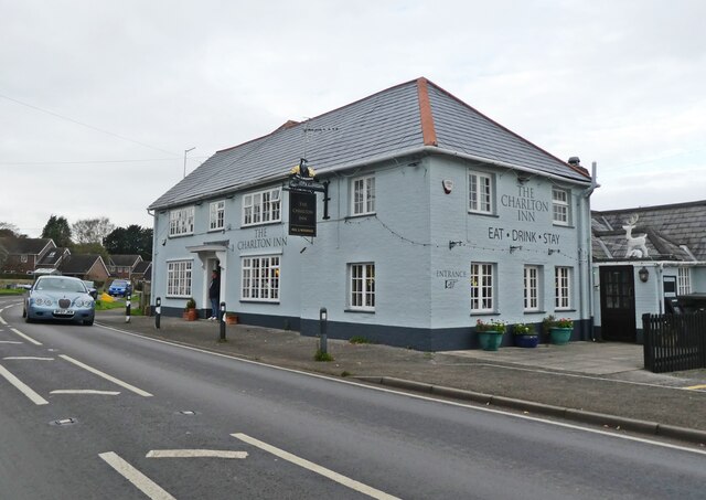
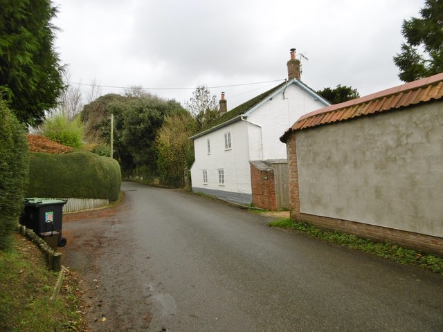
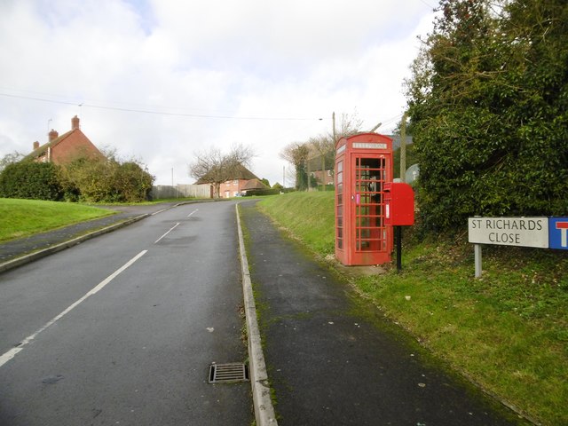
Images are sourced within 2km of 50.822/-2.12 or Grid Reference ST9102. Thanks to Geograph Open Source API. All images are credited.
Crawford Br is located at Grid Ref: ST9102 (Lat: 50.822, Lng: -2.12)
Unitary Authority: Dorset
Police Authority: Dorset
What 3 Words
///cement.saga.rectangular. Near Charlton Marshall, Dorset
Nearby Locations
Related Wikis

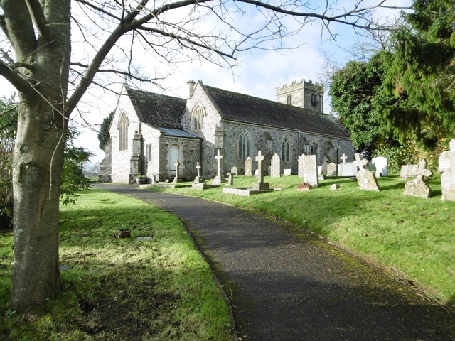
Spetisbury Priory
Spetisbury Priory, also Spettisbury Priory, was a medieval priory in Spetisbury or Spettisbury, Dorset, England. == History == The alien house of Benedictine...

Spetisbury railway station
Spetisbury railway station was a station in the English county of Dorset. It was located between Blandford Forum and Bailey Gate on the Somerset and Dorset...
Spetisbury
Spetisbury () is a village and civil parish in north Dorset, England, situated on the River Stour and the A350, four miles (six kilometres) southeast of...

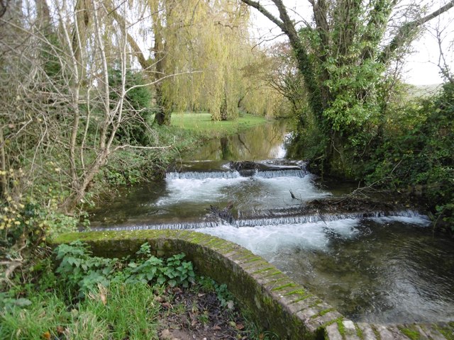
River Tarrant
The River Tarrant is a 12 km long tributary of the River Stour in Dorset. The valley lies to the east of Blandford Forum. The river rises near Cranborne...

Tarrant Abbey
Tarrant Abbey was a Cistercian nunnery in Tarrant Crawford, Dorset, England. == History == The abbey was founded as an independent monastery in 1186 by...
Tarrant Crawford
Tarrant Crawford is a small village and civil parish at the lower end of the Tarrant Valley in Dorset, England. The River Tarrant joins the larger River...

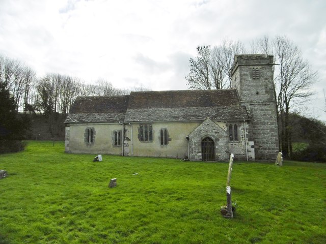
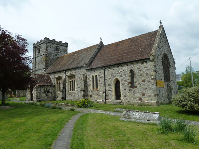
St Mary the Virgin, Tarrant Crawford
The Church of St Mary the Virgin in Tarrant Crawford, Dorset, England, was built in the 12th century. It is recorded in the National Heritage List for...

All Saints' Church, Tarrant Keyneston
All Saints' Church is a Church of England parish church in Tarrant Keyneston, Dorset, England. Most of the church dates to a rebuild of 1852–53, but the...
Related Videos
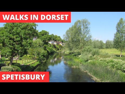
WALKS IN DORSET at SPETISBURY (4K)
In this episode of my series “ Walks in Dorset”, I take a 3.5 mile circular walk in and around Spetisbury in Dorset. Once again I am ...

Lockdown Walk To The River
Another little outing today with the whole family. This time out to our old village in Spetisbury, Dorset. Only about 20 minutes where ...

NickPark
NickPark.

A Cabaret Evening (2011) 4K UHD Special Edition
The Tarrant Valley Players 2011 variety show "A CABARET EVENING" featuring the songs "WILLKOMMMEN", "THE IMPOSSIBLE ...
Nearby Amenities
Located within 500m of 50.822,-2.12Have you been to Crawford Br?
Leave your review of Crawford Br below (or comments, questions and feedback).