Coldcothill Wood
Wood, Forest in Ayrshire
Scotland
Coldcothill Wood

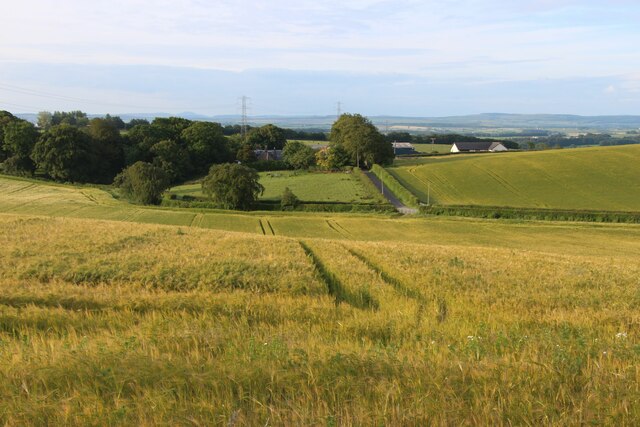
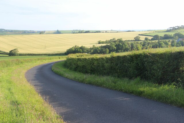
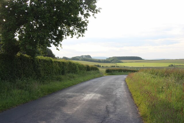
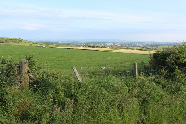
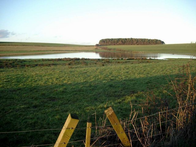
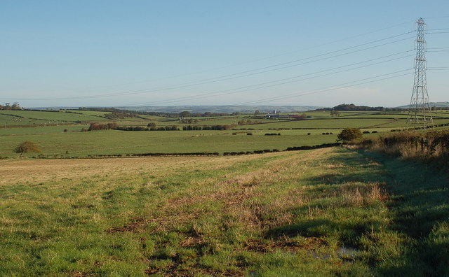
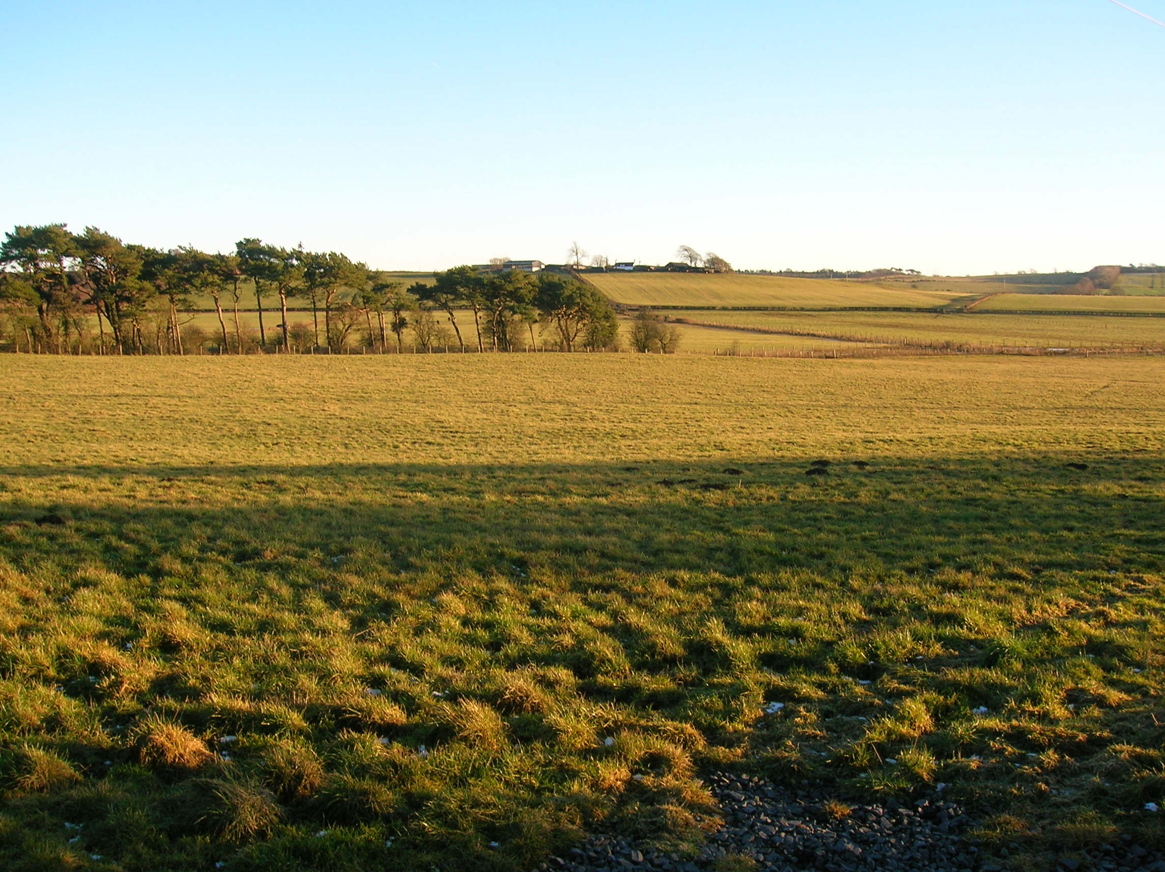
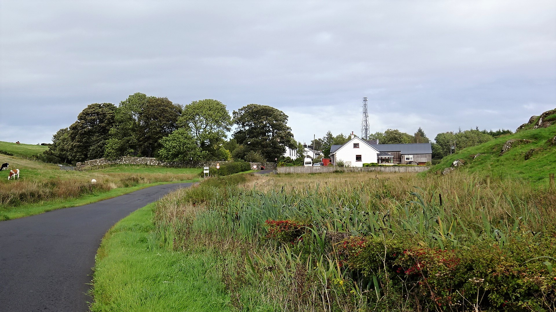
Coldcothill Wood is a picturesque forest located in Ayrshire, Scotland. Covering an area of approximately 300 acres, it is a haven for nature enthusiasts and outdoor lovers. The wood is situated just a few miles from the town of Ayr, making it easily accessible for visitors.
The forest is predominantly composed of native Scottish trees, such as oak, birch, and beech, which create a beautiful and diverse landscape. The well-maintained trails winding through the wood offer visitors the opportunity to explore and immerse themselves in the natural beauty of the area.
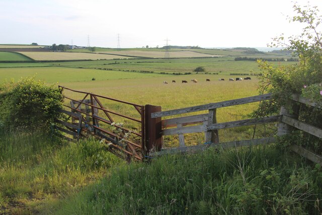
Coldcothill Wood is home to a wide array of wildlife, including various species of birds, mammals, and insects. Birdwatchers will be delighted to spot species such as woodpeckers, owls, and buzzards, while those with a keen eye may encounter red squirrels, badgers, and roe deer.
The wood is also known for its seasonal displays of wildflowers, creating a colorful spectacle during spring and summer. Bluebells, primroses, and foxgloves are just a few of the many vibrant flowers that can be found here.
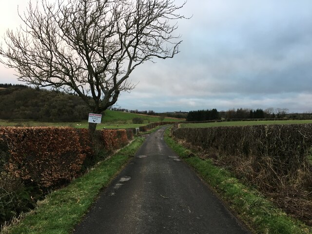
For those looking to enjoy a peaceful retreat, Coldcothill Wood provides ample opportunities for picnicking, photography, or simply taking a leisurely stroll. The tranquil atmosphere and breathtaking scenery make it an ideal destination for nature lovers seeking respite from the hustle and bustle of everyday life.
Overall, Coldcothill Wood is a true gem in Ayrshire, offering a haven of natural beauty and tranquility for visitors to explore and enjoy.
If you have any feedback on the listing, please let us know in the comments section below.
Coldcothill Wood Images
Images are sourced within 2km of 55.54465/-4.4519468 or Grid Reference NS4530. Thanks to Geograph Open Source API. All images are credited.


Coldcothill Wood is located at Grid Ref: NS4530 (Lat: 55.54465, Lng: -4.4519468)
Unitary Authority: South Ayrshire
Police Authority: Ayrshire
What 3 Words
///shopper.untruth.amaze. Near Tarbolton, South Ayrshire
Nearby Locations
Related Wikis
Lochlea, South Ayrshire
Lochlea or Lochlie (pronounced 'Lochli') was situated in a low-lying area between the farms and dwellings of Lochlea and Lochside in the Parish of Tarbolton...
Carnell Estate
Carnell House is a mansion house and estate near the village of Hurlford about 5 miles (8.0 km) south-east of Kilmarnock in South Ayrshire, Scotland, 25...

Garrochburn Goods Depot
Garrochburn Goods Depot or Garrochburn Siding was a railway freight facility located off the B744 near the hamlet of Crosshands that lies north-west of...
Loch Brown
Loch Brown, also known in Scots as Loch Broun, Broon or Broom, was situated in a kettle hole in the mid-Ayrshire clayland near Crosshands. It is nowadays...

Mossgiel Tunnel Platform railway station
Mossgiel Tunnel Platform railway station (NS480292) was not a station constructed for public use. It stood close to the northern portal of the 680 yard...

Fail Loch
Fail Loch or Faile Loch was situated in a low-lying area near the old monastery of Fail in the Parish of Tarbolton, South Ayrshire, Scotland. The old Lochlea...
Craigie, South Ayrshire
Craigie is a small village and parish of 6,579 acres (2,662 hectares) in the old district of Kyle, now South Ayrshire, four miles (six kilometres) south...

Lands of Dallars
The Lands of Dallars or Auchenskeith (NS463337) form a small estate in East Ayrshire, Hurlford, Kilmarnock, Parish of Riccarton, Scotland. The present...
Nearby Amenities
Located within 500m of 55.54465,-4.4519468Have you been to Coldcothill Wood?
Leave your review of Coldcothill Wood below (or comments, questions and feedback).