Moss of Cree
Wood, Forest in Wigtownshire
Scotland
Moss of Cree
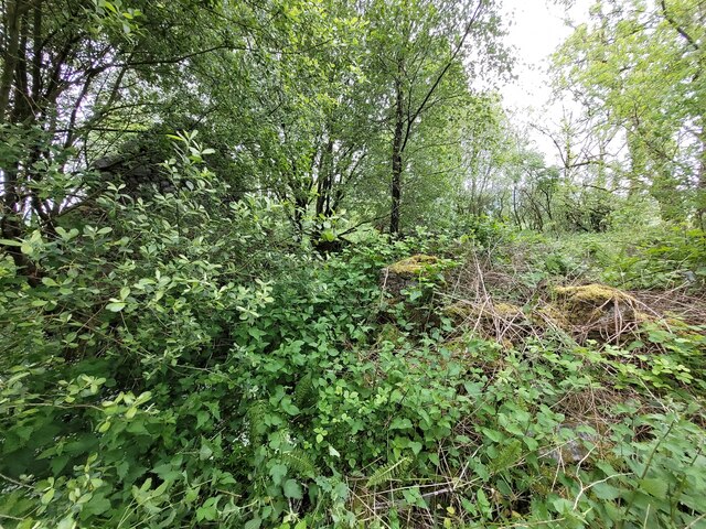
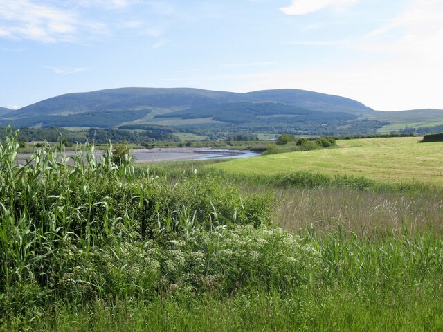
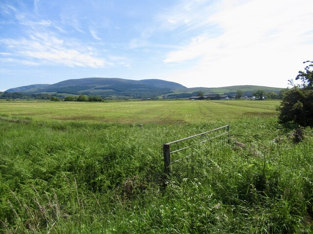
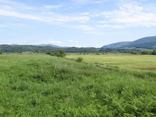
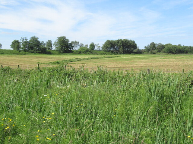
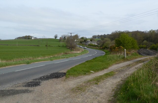
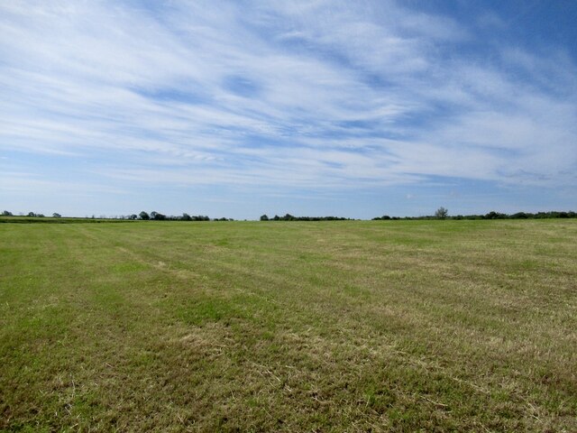
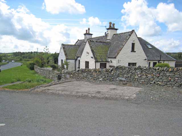
Moss of Cree is a sprawling woodland located in Wigtownshire, Scotland. Covering an area of approximately 4,000 hectares, it is one of the largest forests in the region. The woodland is situated near the village of Creetown and is known for its diverse ecosystem and stunning natural beauty.
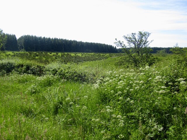
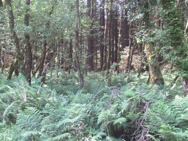
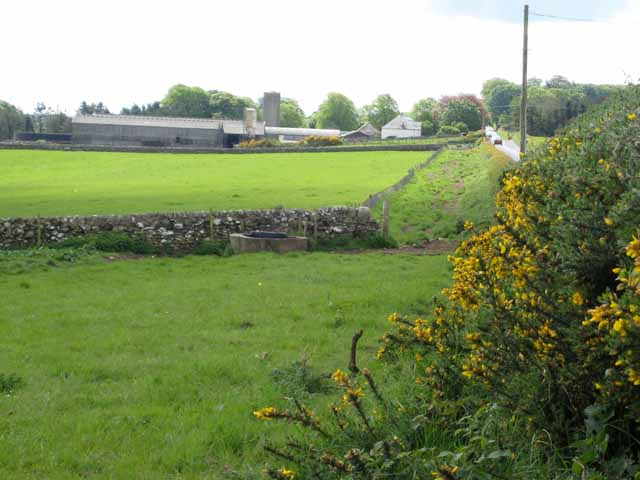
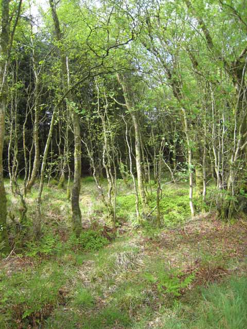
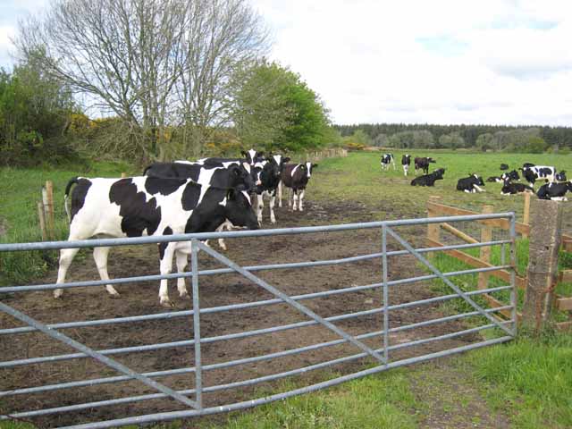
Moss of Cree is primarily composed of native broadleaf trees such as oak, birch, and hazel, which provide a haven for a wide range of flora and fauna. The forest floor is covered in a lush carpet of mosses and ferns, creating a serene and enchanting atmosphere. The area is also home to a variety of wildlife, including red squirrels, roe deer, and a plethora of bird species, making it a popular destination for nature enthusiasts and birdwatchers.
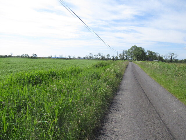
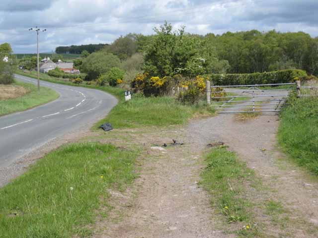
The forest is crisscrossed with a network of well-maintained trails, allowing visitors to explore its scenic landscapes on foot or by bike. These trails offer breathtaking views of the surrounding hills and valleys, and there are several picnic areas and viewpoints along the way where visitors can pause and take in the natural splendor.
Moss of Cree is managed and maintained by the Forestry Commission, who work tirelessly to preserve its unique ecosystem and promote sustainable forestry practices. The forest also plays an important role in carbon sequestration, helping to mitigate the effects of climate change.
Overall, Moss of Cree is a tranquil and captivating woodland, offering visitors a chance to connect with nature and experience the beauty of the Scottish countryside.
If you have any feedback on the listing, please let us know in the comments section below.
Moss of Cree Images
Images are sourced within 2km of 54.914826/-4.4379047 or Grid Reference NX4360. Thanks to Geograph Open Source API. All images are credited.

Moss of Cree is located at Grid Ref: NX4360 (Lat: 54.914826, Lng: -4.4379047)
Unitary Authority: Dumfries and Galloway
Police Authority: Dumfries and Galloway
What 3 Words
///kipper.finishes.cushy. Near Newton Stewart, Dumfries & Galloway
Nearby Locations
Related Wikis

Causeway End railway station
Causeway End (NX 42047 59602) or Causwayend was a railway station on the Wigtownshire Railway branch line, from Newton Stewart to Whithorn, of the Portpatrick...

Palnure
Palnure (Scottish Gaelic: Poll an Iùbhair) is a small village in the historical county of Kirkcudbrightshire in Dumfries and Galloway, Scotland, on the...

Mains of Penninghame Platform railway station
Mains of Penninghame Platform railway station (NX410617) was a halt on the Wigtownshire Railway branch line, from Newton Stewart to Whithorn, of the Portpatrick...
Palnure railway station
Palnure railway station (NX450634) was a railway station on the Portpatrick and Wigtownshire Joint Railway close to Newton Stewart and the junction for...

Creetown railway station
Creetown railway station served the town of Creetown, Dumfries and Galloway, Scotland from 1861 to 1965 on the Portpatrick and Wigtownshire Joint Railway...

Creetown
Creetown (/ˈkri:tən/, sometimes /'kri:taʊn/) is a small seaside town in the Stewartry of Kirkcudbright, in Galloway in the Dumfries and Galloway council...
Kirkmabreck
Kirkmabreck is a civil parish in the historic county of Kirkcudbrightshire in the Dumfries and Galloway council area, Scotland. Situated in the historic...
Creetown F.C.
Creetown Football Club are a football club based in Creetown in the Dumfries and Galloway area of Scotland. Formed in 1905 as Creetown Rifle Volunteers...
Have you been to Moss of Cree?
Leave your review of Moss of Cree below (or comments, questions and feedback).