Bardrain Wood

Wood, Forest in Renfrewshire

Scotland

Bardrain Wood

Transmitter masts at Sergeant Law These are two of a group of three masts on a hill called Sergeant Law. These two are near the summit of the hill, while the other one is further to the ENE: <a href="https://www.geograph.org.uk/photo/2939828">NS4559 : Transmitter mast at Sergeant Law</a>; see that item for further information.

There is a Serjeantlaw (farm) on Roy's Military Survey of Scotland (1740s-50s), showing that the hill had its present name at that time. A "law" is a round/conical, generally isolated hill.
Transmitter masts at Sergeant Law Credit: Lairich Rig

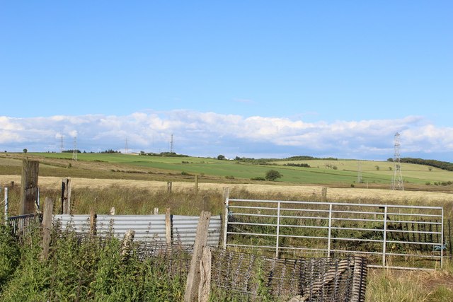
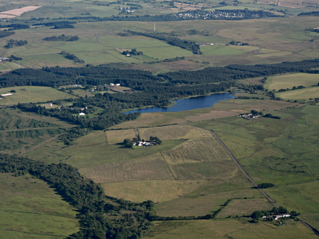
Bardrain Wood is a quaint woodland located in the county of Renfrewshire, Scotland. Situated near the town of Kilbarchan, it spans an area of approximately 30 hectares and is known for its natural beauty and diverse wildlife.

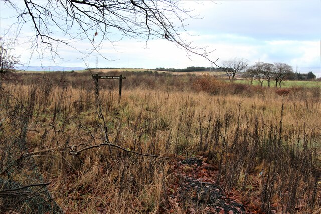
The wood is predominantly composed of mature broadleaf trees, including oak, birch, and beech. These towering trees provide a lush canopy, creating a serene and tranquil atmosphere. In spring, the forest floor is adorned with a vibrant carpet of bluebells, creating a picturesque scene.

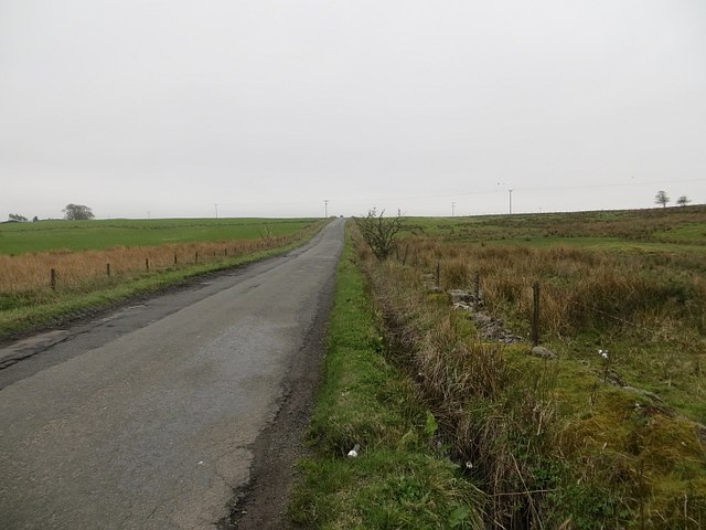
Bardrain Wood offers a variety of recreational activities for nature enthusiasts and outdoor adventurers. There are several well-maintained walking trails that wind through the wood, allowing visitors to explore its nooks and crannies. The trails provide an opportunity to observe the woodland's diverse wildlife, including deer, squirrels, and a plethora of bird species.

The wood also features a picnic area, making it an ideal spot for families and friends to enjoy a leisurely day out. As the wood is surrounded by open countryside, it offers stunning views of the surrounding landscape, providing a peaceful retreat from the hustle and bustle of everyday life.

Bardrain Wood is a popular destination for locals and tourists alike, attracting individuals seeking solace in nature or simply looking to immerse themselves in the beauty of Scotland's woodlands. Its accessibility, natural charm, and diverse ecosystem make it a must-visit destination for anyone in the area.

If you have any feedback on the listing, please let us know in the comments section below.

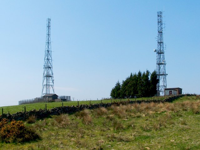
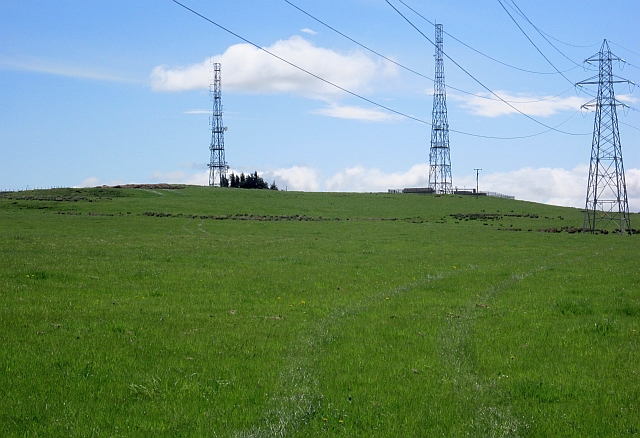
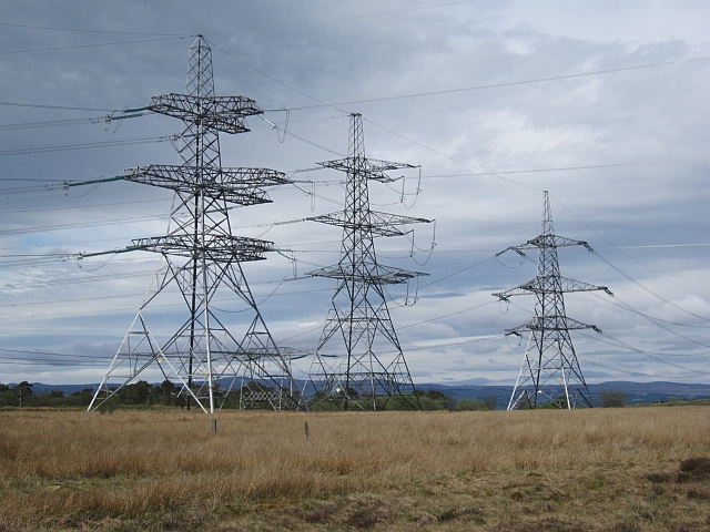
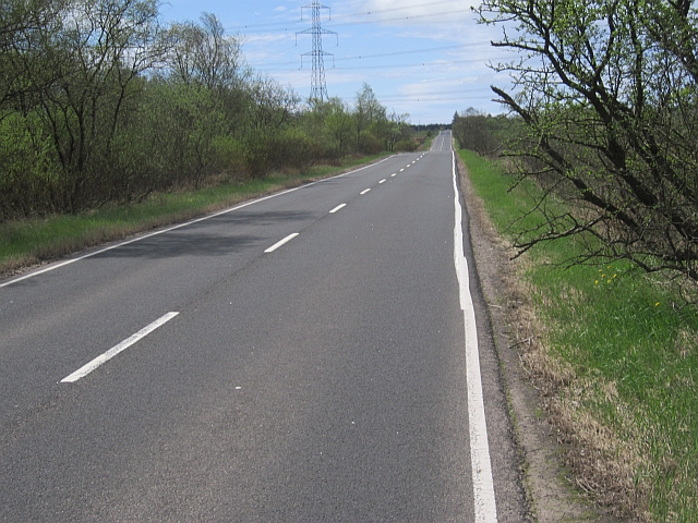
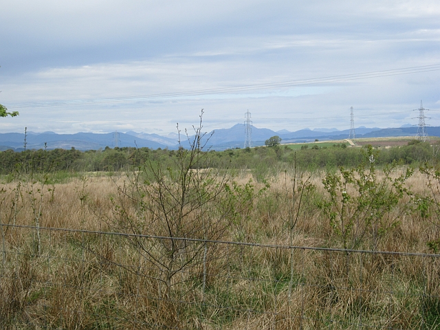
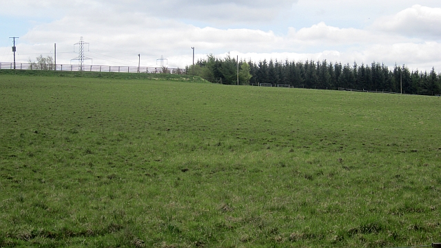
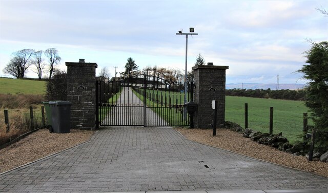
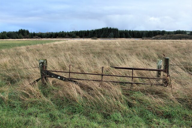
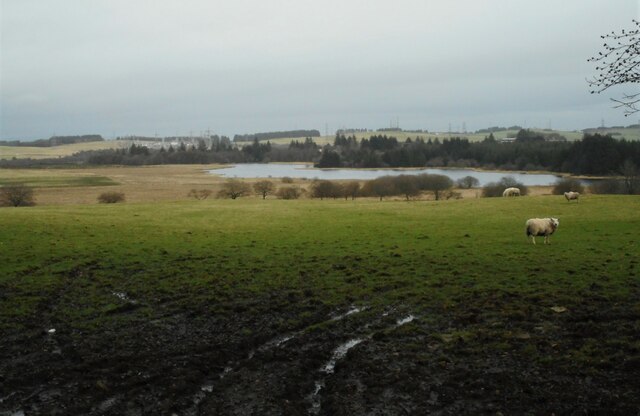
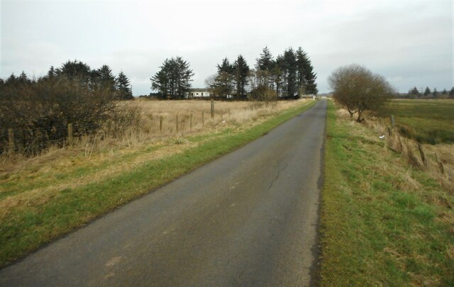
Bardrain Wood Images

Images are sourced within 2km of 55.813828/-4.4934844 or Grid Reference NS4360. Thanks to Geograph Open Source API. All images are credited.

Transmitter masts at Sergeant Law These are two of a group of three masts on a hill called Sergeant Law. These two are near the summit of the hill, while the other one is further to the ENE: <a href="https://www.geograph.org.uk/photo/2939828">NS4559 : Transmitter mast at Sergeant Law</a>; see that item for further information.

There is a Serjeantlaw (farm) on Roy's Military Survey of Scotland (1740s-50s), showing that the hill had its present name at that time. A "law" is a round/conical, generally isolated hill.
Transmitter masts at Sergeant Law
These are two of a group of three masts on a hill called Sergeant Law. These two are near the summit of the hill, while the other one is further to the ENE: NS4559 : Transmitter mast at Sergeant Law; see that item for further information. There is a Serjeantlaw (farm) on Roy's Military Survey of Scotland (1740s-50s), showing that the hill had its present name at that time. A "law" is a round/conical, generally isolated hill.
Sergeant Law Masts and one of the powerlines radiating from the nearby substation.
Sergeant Law
Masts and one of the powerlines radiating from the nearby substation.
Four way pylon Junction of power lines near the Neilston substation.
Four way pylon
Junction of power lines near the Neilston substation.
B775 Smooth and straight, heading over the plateau from Gleniffer Braes.
B775
Smooth and straight, heading over the plateau from Gleniffer Braes.
Young woodland Near the old Peesweep Sanatorium, now Lapwing Lodge. There is a view northwards towards Ben Lomond.
Young woodland
Near the old Peesweep Sanatorium, now Lapwing Lodge. There is a view northwards towards Ben Lomond.
Caplaw Field between Caplaw and the B775.
Caplaw
Field between Caplaw and the B775.
Caplaw Farm
Caplaw Farm
Shed NE of Caplaw Farm View towards Sergeant Law
Shed NE of Caplaw Farm
View towards Sergeant Law
Sheep Pen NE of Caplaw Farm
Road, Craigmuir On the igneous uplands south of Paisley and Johnstone.
Road, Craigmuir
On the igneous uplands south of Paisley and Johnstone.
Bent Farm and Lapwing Lodge from the air Caplaw Dam is also visible.
Bent Farm and Lapwing Lodge from the air
Caplaw Dam is also visible.
Hartfield Native Woodland
Gateway to Bent Farm
Rusty field gate near Caplaw Dam
Caplaw Dam The Neilston Electricity Substation is in the distance.
Caplaw Dam
The Neilston Electricity Substation is in the distance.
Approaching Brownside Brownside is just behind the trees ahead.
Approaching Brownside
Brownside is just behind the trees ahead.
Brownside With Loch View Cottage and Brownside Cottage to the left.
Brownside
With Loch View Cottage and Brownside Cottage to the left.
Brownside With Loch View Cottage and Brownside Cottage to the left. This image was taken to replicate the first image for this square <a href="https://www.geograph.org.uk/photo/199982">NS4359 : Brownside</a> taken and submitted in 2006.
Brownside
With Loch View Cottage and Brownside Cottage to the left. This image was taken to replicate the first image for this square NS4359 : Brownside taken and submitted in 2006.
Show me another place!

Bardrain Wood is located at Grid Ref: NS4360 (Lat: 55.813828, Lng: -4.4934844)

Unitary Authority: Renfrewshire

Police Authority: Renfrewshire and Inverclyde

What 3 Words

///gain.spins.frame. Near Johnstone, Renfrewshire

Related Wikis

Paisley and Renfrewshire South (UK Parliament constituency)

Paisley and Renfrewshire South is a constituency of the House of Commons, located in Renfrewshire, Scotland to the southwest of Glasgow. It elects one...

Gleniffer Braes

Gleniffer Braes ("brae" being the Scots language word for the slope or brow of a hill) is a short range of hills and park area to the south of Paisley...

Johnstone Castle

Johnstone Castle (Scots: Johnstoun Castle) is a structure and former mansion in the town of Johnstone in Renfrewshire, Scotland. It belonged to the Houstons...

Johnstone Burgh F.C.

Johnstone Burgh Football Club is a Scottish football club based in Johnstone, Renfrewshire, and play in West of Scotland League First Division. == Current... ==

Elderslie, Scotland

Elderslie (Scottish Gaelic: Achadh na Feàrna) is a village in the council area and historic county of Renfrewshire in west central Scotland. It chiefly...

Foxbar

Foxbar is a district of Paisley, bordered by the Gleniffer Braes and Paisley town centre. Consisting mostly of residential areas, Foxbar has rapidly grown...

Renfrew (district)

Renfrew District (Scottish Gaelic: Sgìre Rinn Friù) was, between 1975 and 1996, one of nineteen local government districts in the Strathclyde region of...

Renfrewshire (historic)

Renfrewshire or the County of Renfrew is a historic county, registration county and lieutenancy area in the west central Lowlands of Scotland. The lieutenancy...

Related Videos

Hiking Gleniffer Braes and I Eventually Find a Beautiful Waterfall

I have been told many times that a good walk/hike, pretty close to me is Gleniffer Braes, which is situated between Paisley and ...

Waterfall Wander at Gleniffer Braes | Paisley

When you can't travel far to scratch the hiking itch we looked a bit closer to home for somewhere we could stretch the legs but still ...

Nearby Amenities

Located within 500m of 55.813828,-4.4934844
Power: tower
Source: Bing
Lat/Long: 55.8108548/-4.4918089
Power: tower
Source: Bing
Lat/Long: 55.812525/-4.4968566
Power: tower
Source: Bing
Lat/Long: 55.8120663/-4.493344
Power: tower
Source: Bing
Lat/Long: 55.8114993/-4.4951987
Power: tower
Source: Bing
Lat/Long: 55.8120675/-4.4981869
Dusky Glen and Seven Falls
Waterway: waterfall
Lat/Long: 55.8120201/-4.4996807
Bench
Backrest: no
Lat/Long: 55.8135176/-4.4936946
Bench
Backrest: no
Lat/Long: 55.8122205/-4.4977889
Bench
Backrest: no
Lat/Long: 55.8135154/-4.4930343
Bench
Lat/Long: 55.8135251/-4.4871946
Bench
Backrest: yes
Lat/Long: 55.813844/-4.5011868
Bench
Backrest: no
Lat/Long: 55.8155247/-4.4979047
The data included in this document is from www.openstreetmap.org. The data is made available under ODbL.

Have you been to Bardrain Wood?

Leave your review of Bardrain Wood below (or comments, questions and feedback).