Knockmade Plantation

Wood, Forest in Renfrewshire

Scotland

Knockmade Plantation

Uplawmoor Hotel
Uplawmoor Hotel Credit: Josie Campbell

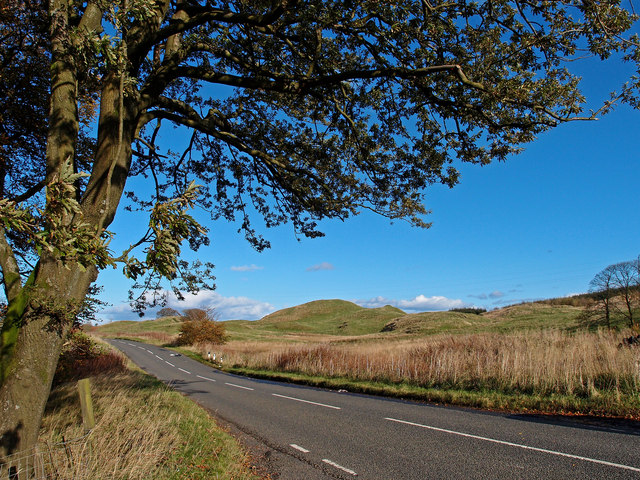
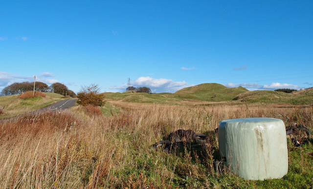
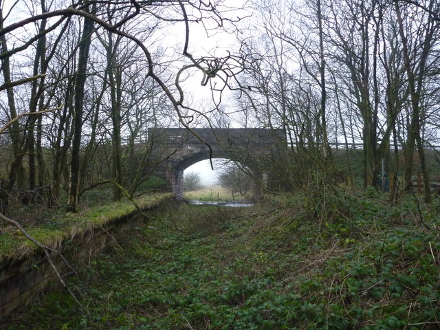
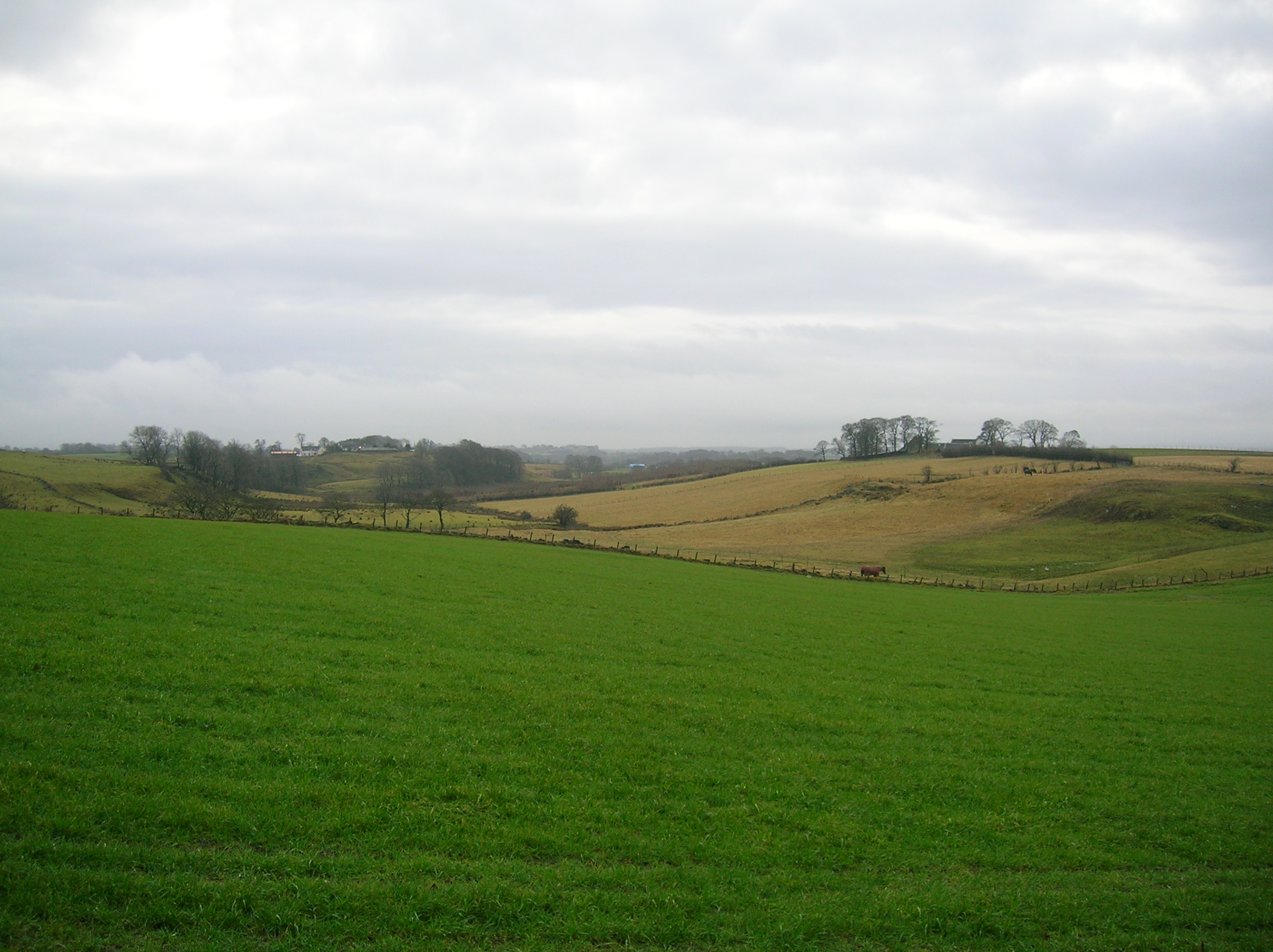
Knockmade Plantation is a picturesque woodland located in the county of Renfrewshire, Scotland. Spanning over a vast area, the plantation is renowned for its lush greenery and diverse range of flora and fauna.

Situated on the outskirts of the small village of Knockmade, the plantation is a popular destination for nature lovers and outdoor enthusiasts. The woodland is predominantly made up of native tree species, including oak, birch, and beech, creating a stunning and vibrant landscape throughout the year.

The plantation offers a range of amenities for visitors, including well-maintained walking trails that meander through the forest. These trails provide an opportunity to explore the woodland at one's own pace and take in the serene beauty of the surroundings. There are also picnic areas scattered across the plantation, allowing visitors to enjoy a peaceful lunch amidst the natural splendor.

Wildlife is abundant in Knockmade Plantation, with various species of birds, butterflies, and small mammals calling the woodland their home. Birdwatchers will delight in the chance to spot species such as woodpeckers, owls, and finches, while nature enthusiasts may be lucky enough to catch a glimpse of roe deer or red squirrels.

Knockmade Plantation is easily accessible by car, with ample parking available. The plantation is open year-round, and admission is free. Whether one is seeking a leisurely stroll, a family picnic, or an opportunity to immerse oneself in nature, Knockmade Plantation offers a tranquil and enchanting experience for all who visit.

If you have any feedback on the listing, please let us know in the comments section below.

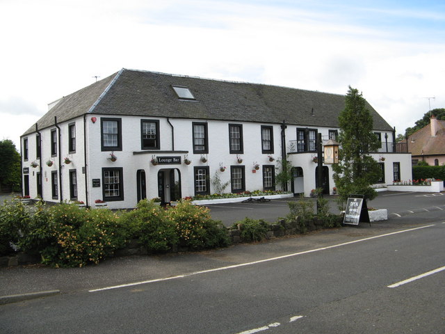
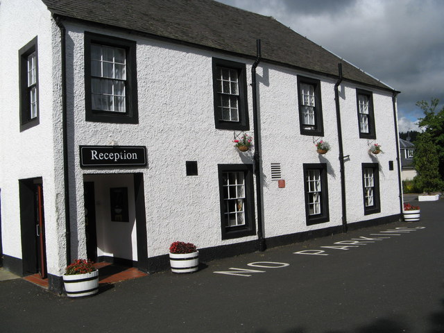
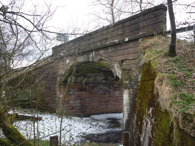
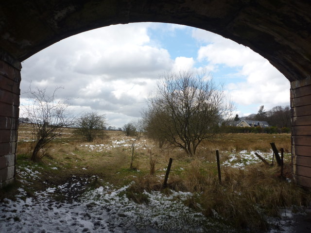
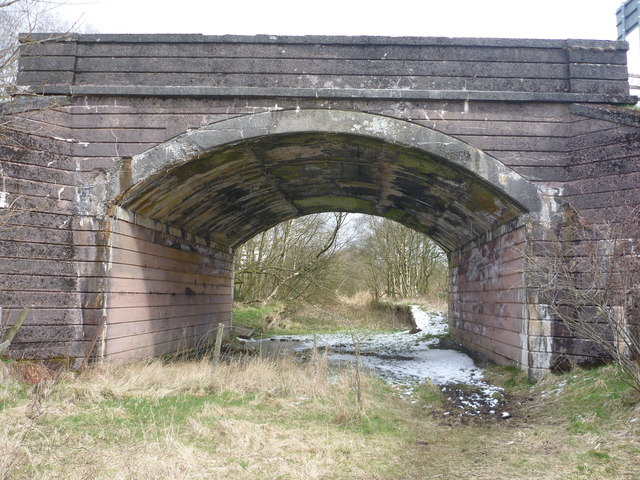
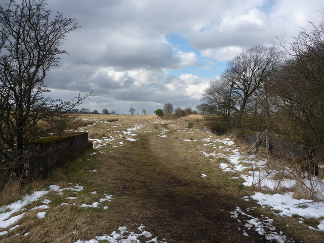
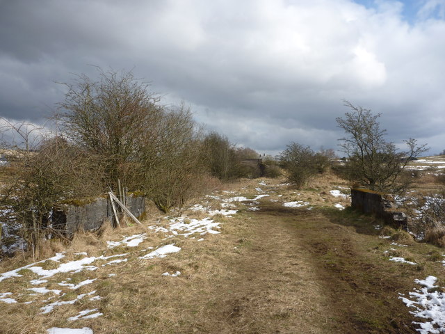
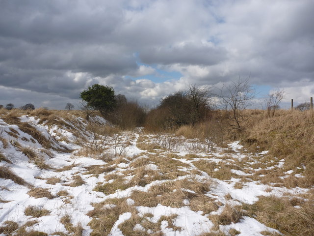
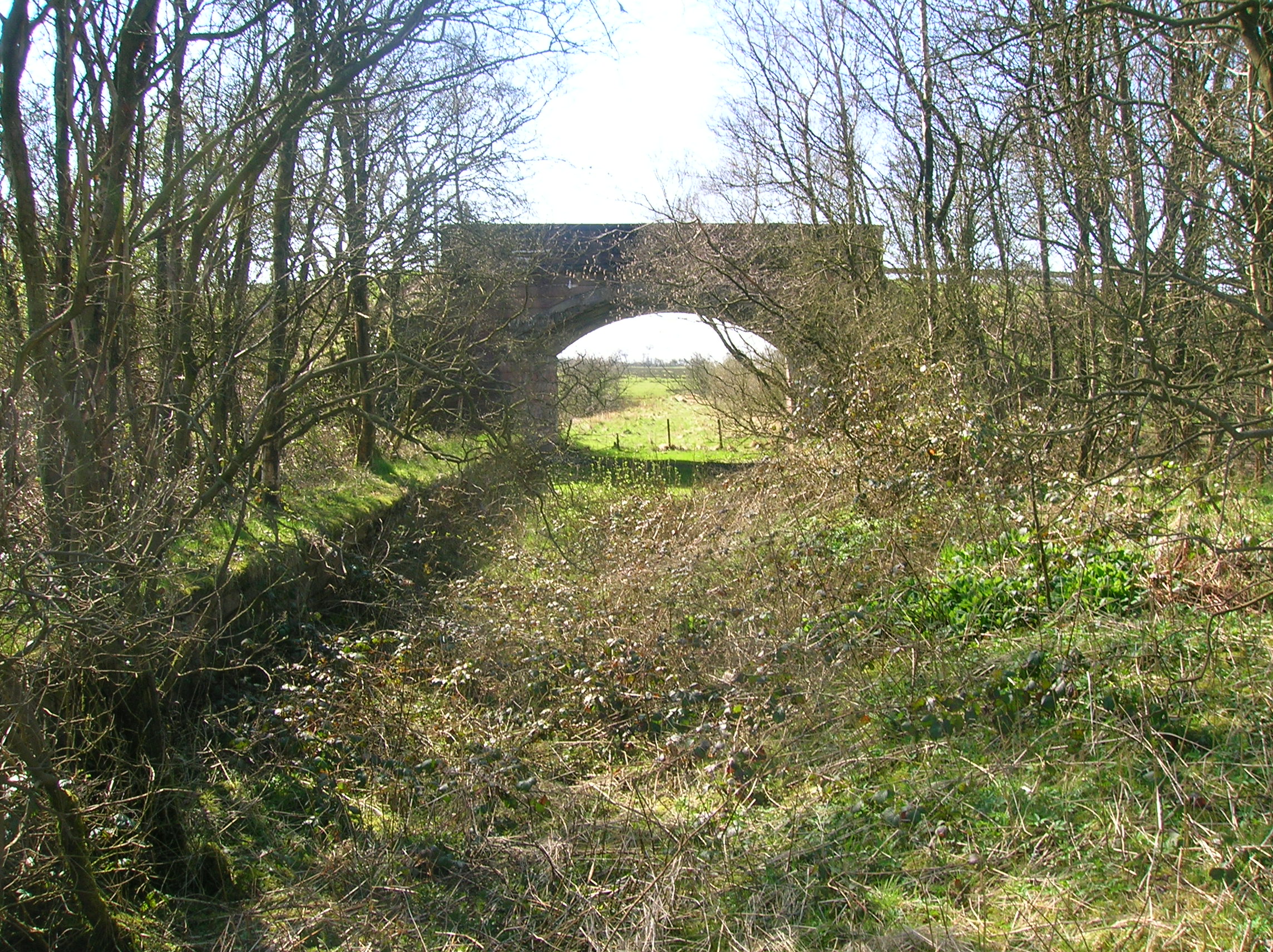
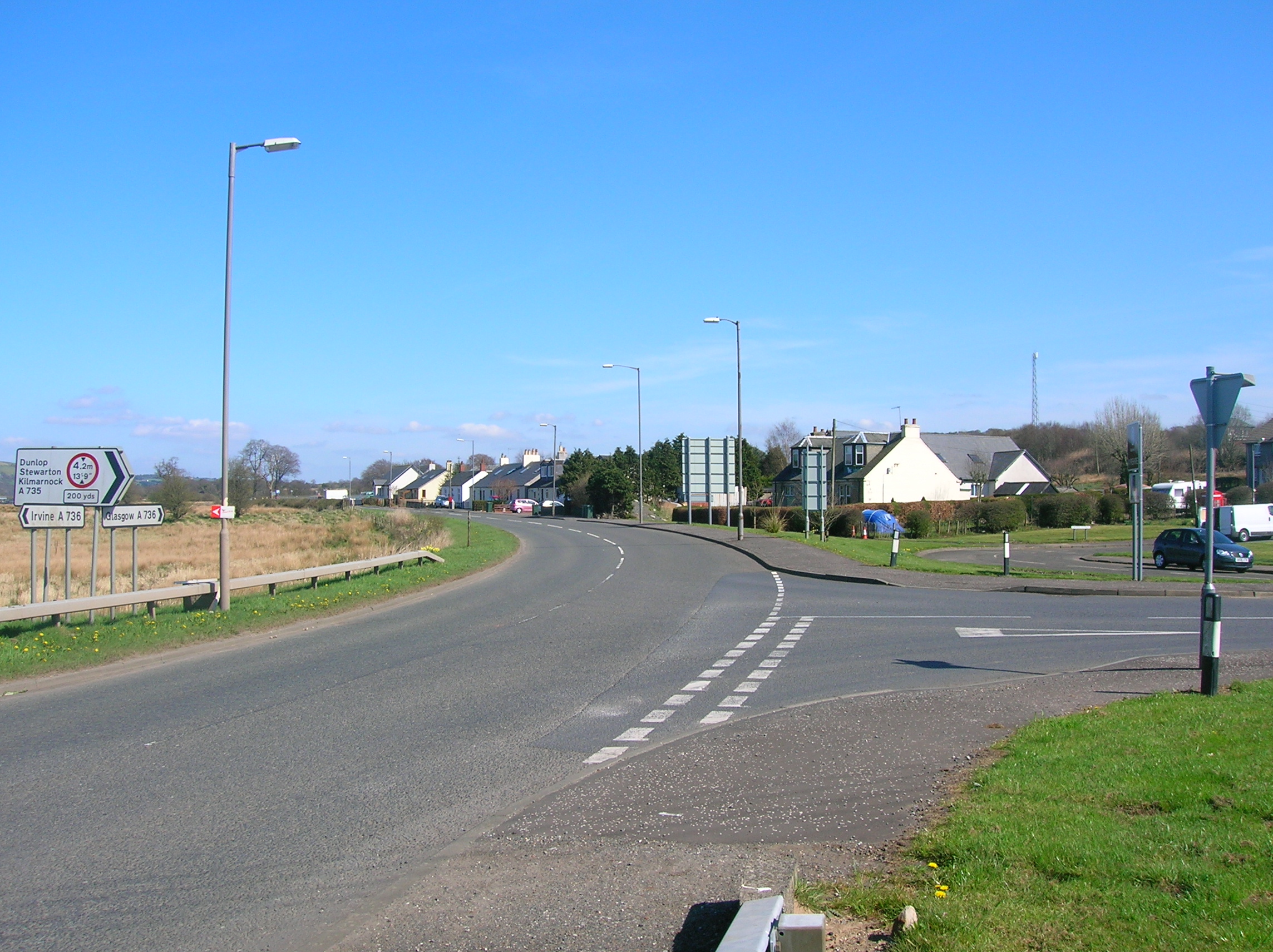
Knockmade Plantation Images

Images are sourced within 2km of 55.750281/-4.4939527 or Grid Reference NS4353. Thanks to Geograph Open Source API. All images are credited.

Uplawmoor Hotel
Uplawmoor Hotel
Uplawmoor Hotel Side view of reception area
Uplawmoor Hotel
Side view of reception area
Uplawmoor Hotel The restaurant
Uplawmoor Hotel
The restaurant
Minor Road, between Uplawmoor and Neilston Oak tree and Dareduff Hill.
Minor Road, between Uplawmoor and Neilston
Oak tree and Dareduff Hill.
Isolated Big Bale Adjacent to the minor road between Uplawmoor and Neilston. Dareduff Hill in the distance.
Isolated Big Bale
Adjacent to the minor road between Uplawmoor and Neilston. Dareduff Hill in the distance.
Rural East Renfrewshire : East Uplaw Road-end A dreich morning near Uplawmoor.
Rural East Renfrewshire : East Uplaw Road-end
A dreich morning near Uplawmoor.
Rural East Renfrewshire : West and South Uplaw Road-end East Renfrewshire may have some excellent schools but many of the roads in this rural district are in an appalling condition.
Rural East Renfrewshire : West and South Uplaw Road-end
East Renfrewshire may have some excellent schools but many of the roads in this rural district are in an appalling condition.
Northern East Ayrshire : Spunkie Cottage near Uplawmoor
Rural East Renfrewshire : Uplawmoor Station
Site of Caldwell - later Uplawmoor, station This is the former Glasgow, Barrhead & Kilmarnock (later Glasgow & South-Western) line from Glasgow St Enoch, later from Glasgow Central - and by 1986 single-track, to Kilmarnock and Carlisle. Until 2/4/62 Caldwell was named 'Uplawmoor'; it was closed on 7/11/66 - after having been portrayed on TV as 'Tannochbrae' in 'Dr Finlay's Casebook'. The water ahead is Loch Libo.
Site of Caldwell - later Uplawmoor, station
This is the former Glasgow, Barrhead & Kilmarnock (later Glasgow & South-Western) line from Glasgow St Enoch, later from Glasgow Central - and by 1986 single-track, to Kilmarnock and Carlisle. Until 2/4/62 Caldwell was named 'Uplawmoor'; it was closed on 7/11/66 - after having been portrayed on TV as 'Tannochbrae' in 'Dr Finlay's Casebook'. The water ahead is Loch Libo.
Rural East Renfrewshire : Gates On The Castburn Path, Uplawmoor
Rural East Renfrewshire : Aged And Worn Sign On The Castburn Path, Uplawmoor This sign appears to date from the late 1980's and describes the "Glasgow and Irvine Railway Path and Cycleroute", a route that is a good few miles to the west of this location.
Rural East Renfrewshire : Aged And Worn Sign On The Castburn Path, Uplawmoor
This sign appears to date from the late 1980's and describes the "Glasgow and Irvine Railway Path and Cycleroute", a route that is a good few miles to the west of this location.
Rural East Renfrewshire : Tannoch Road Railway Bridge, Uplawmoor Station This bridge, at the southern end of the derelict platforms of the long-closed Uplawmoor station, carries Tannoch Road over the former Caledonian Railway line from Glasgow and Lanarkshire to the Ayrshire port of Ardrossan.
Rural East Renfrewshire : Tannoch Road Railway Bridge, Uplawmoor Station
This bridge, at the southern end of the derelict platforms of the long-closed Uplawmoor station, carries Tannoch Road over the former Caledonian Railway line from Glasgow and Lanarkshire to the Ayrshire port of Ardrossan.
Rural East Renfrewshire : South From Uplawmoor Station Standing underneath the Tannoch Road bridge, looking SW along the trackbed of the ex-Caledonian Railway line from Glasgow and Lanarkshire to the Ayrshire port of Ardrossan.
Rural East Renfrewshire : South From Uplawmoor Station
Standing underneath the Tannoch Road bridge, looking SW along the trackbed of the ex-Caledonian Railway line from Glasgow and Lanarkshire to the Ayrshire port of Ardrossan.
Rural East Renfrewshire : Tannoch Road Bridge and Uplawmoor Station Standing on the trackbed of the former Caledonian Railway line to Ardrossan, looking under the Tannoch Road bridge to the platform ends of the long demolished station at Uplawmoor.
Rural East Renfrewshire : Tannoch Road Bridge and Uplawmoor Station
Standing on the trackbed of the former Caledonian Railway line to Ardrossan, looking under the Tannoch Road bridge to the platform ends of the long demolished station at Uplawmoor.
Northern East Ayrshire : Small Parapets South of Uplawmoor Heading southwest from Uplawmoor on the old Caledonian Railway line.
Northern East Ayrshire : Small Parapets South of Uplawmoor
Heading southwest from Uplawmoor on the old Caledonian Railway line.
Northern East Ayrshire : Approaching The Boundary The narrow stream that flows under the trackbed between those parapets forms the boundary between East Ayrshire and East Renfrewshire.

The bridge in the distance is at the old Uplawmoor station in East Renfrewshire.
Northern East Ayrshire : Approaching The Boundary
The narrow stream that flows under the trackbed between those parapets forms the boundary between East Ayrshire and East Renfrewshire. The bridge in the distance is at the old Uplawmoor station in East Renfrewshire.
Northern East Ayrshire : Caledonian Railway Trackbed South of Uplawmoor This was the CR line from Lanarkshire to Ardrossan.
Northern East Ayrshire : Caledonian Railway Trackbed South of Uplawmoor
This was the CR line from Lanarkshire to Ardrossan.
Show me another place!

Knockmade Plantation is located at Grid Ref: NS4353 (Lat: 55.750281, Lng: -4.4939527)

Unitary Authority: East Ayrshire

Police Authority: Ayrshire

What 3 Words

///replenish.cowboys.bagels. Near Dunlop, East Ayrshire
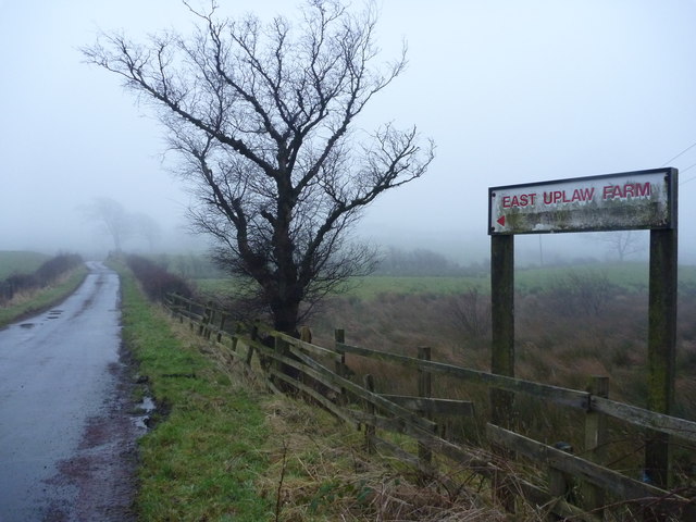
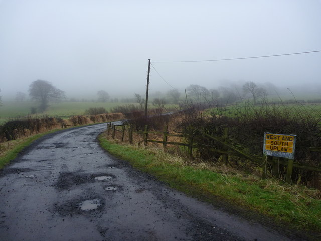
Nearby Locations

Knockmade Plantation

Related Wikis

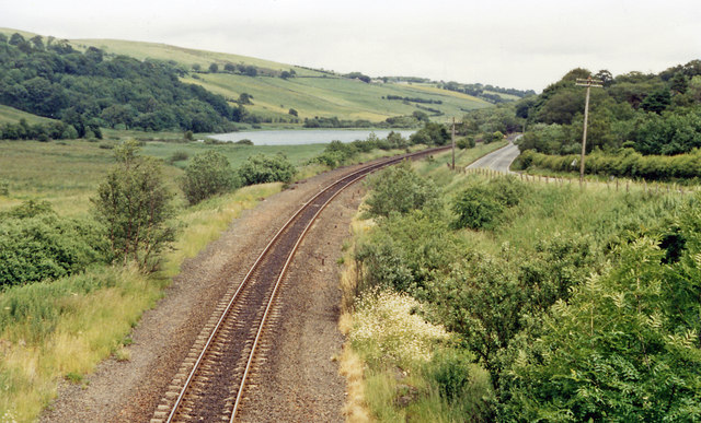
Uplawmoor (L&A) railway station

Uplawmoor railway station was a railway station serving the village of Uplawmoor, East Renfrewshire, Scotland as part of the Lanarkshire and Ayrshire Railway...

Uplawmoor

Uplawmoor is a village in East Renfrewshire, Scotland. Its population was 700 as of 2016. Historic Uplawmoor, associated for centuries with the Barony...

Uplawmoor (GB&K) railway station

Uplawmoor railway station was a railway station near the village of Uplawmoor, East Renfrewshire, Scotland. The station was originally part of the Glasgow...

Loch Libo

Loch Libo is a freshwater loch in East Renfrewshire, Parish of Neilston, Scotland. The Lugton Water has its source from the southern end of loch, running...

Caldwell, East Renfrewshire

Caldwell is a mansion and old estate with the remains of a castle nearby. These lands lie close to the Lugton Water and the villages of Uplawmoor in East...

Lugton

Lugton is a small village or hamlet in East Ayrshire, Scotland with a population of 80 people. The A736 road runs through on its way from Glasgow, 15 miles...

Lugton railway station

Lugton railway station was a railway station serving the hamlet of Lugton, East Ayrshire, Scotland. The station was originally part of the Glasgow, Barrhead...

Halket Loch

Halket Loch' also known as Halkhead or Halketh, was situated in the mid-Ayrshire clayland near Lugton. It is visible as a surface depression in pastureland...

Nearby Amenities

Located within 500m of 55.750281,-4.4939527
Power: pole
Lat/Long: 55.7516728/-4.500589
Power: pole
Lat/Long: 55.7521109/-4.4993076
Power: pole
Lat/Long: 55.7525466/-4.4980764
Power: pole
Lat/Long: 55.7529823/-4.4968201
Power: pole
Lat/Long: 55.7533499/-4.495328
Power: pole
Lat/Long: 55.7537433/-4.4937984
Power: pole
Lat/Long: 55.753984/-4.4927904
Power: pole
Lat/Long: 55.7542941/-4.49153
Power: pole
Lat/Long: 55.7536129/-4.4980034
The data included in this document is from www.openstreetmap.org. The data is made available under ODbL.

Have you been to Knockmade Plantation?

Leave your review of Knockmade Plantation below (or comments, questions and feedback).