Bank Plantation

Wood, Forest in Ayrshire

Scotland

Bank Plantation

Little Mosside Cottage on minor road with passing places.
Little Mosside Credit: wfmillar

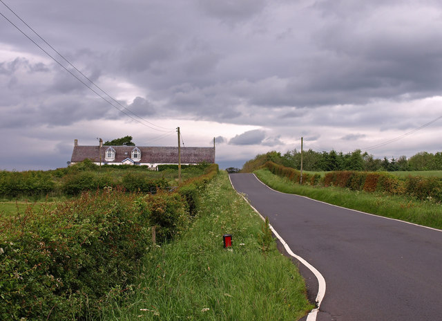
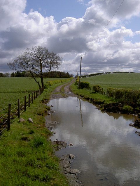
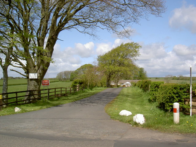
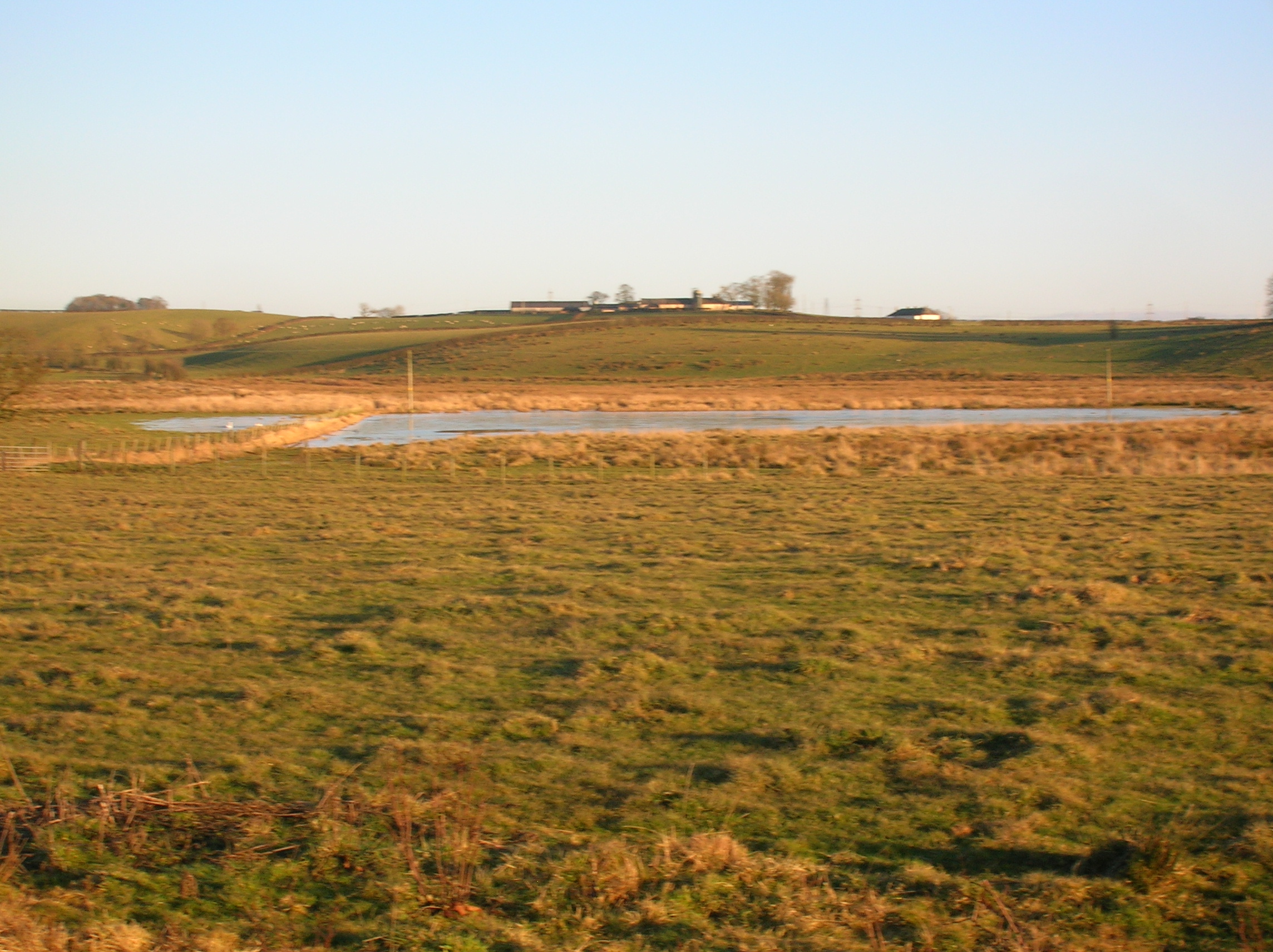
Bank Plantation is a picturesque woodland located in Ayrshire, Scotland. Covering an area of approximately 100 acres, it is widely known for its dense array of trees and diverse plant species. The forest is named after the nearby Bank Burn, a small stream that meanders through the plantation, adding to its natural beauty.

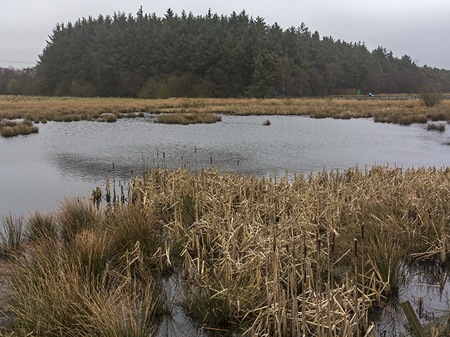
The woodland consists primarily of native species such as oak, beech, and birch trees, which create a lush and vibrant canopy. These trees provide a habitat for a variety of wildlife, including birds, squirrels, and deer, making it a popular destination for nature enthusiasts and birdwatchers.

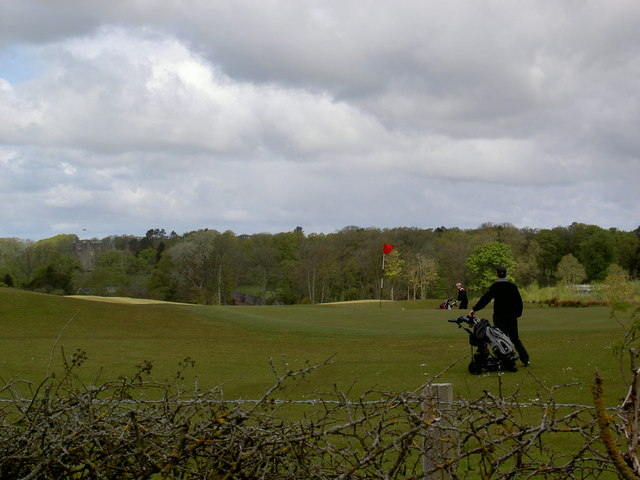
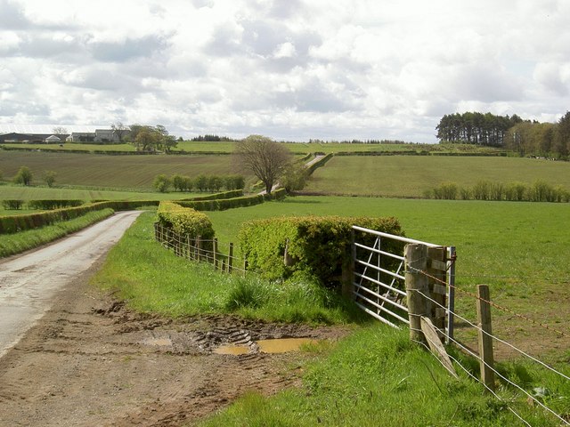
Bank Plantation offers several well-marked trails that wind through the forest, allowing visitors to explore its tranquil surroundings. These paths provide opportunities for walking, jogging, and cycling, making it an ideal spot for outdoor activities and exercise.

Throughout the year, the woodland undergoes various transformations, each season bringing its own charm. In spring, the forest bursts to life with colorful wildflowers and the songs of migratory birds. Summer brings a lush green canopy that provides shade and respite from the heat. In autumn, Bank Plantation transforms into a tapestry of vibrant hues as the leaves change color, creating a stunning display. Winter blankets the woodland in a serene and quiet atmosphere, with frost-covered trees and occasional sightings of wildlife.

Bank Plantation in Ayrshire offers a peaceful retreat for those seeking solace in nature's embrace. Its rich biodiversity, well-maintained trails, and captivating scenery make it a must-visit destination for both locals and tourists alike.

If you have any feedback on the listing, please let us know in the comments section below.

Bank Plantation Images

Images are sourced within 2km of 55.652416/-4.4878196 or Grid Reference NS4342. Thanks to Geograph Open Source API. All images are credited.

Little Mosside Cottage on minor road with passing places.
Little Mosside
Cottage on minor road with passing places.
Golf at Rowallan
Golf at Rowallan
Flooded lane at Tannacrieff
Byroads through the farmland of East Ayrshire
A straightened burn at West Tannacrieff
Road junction near Tannahill
Private access at East Tannacrieff
The glory of spring in East Ayrshire Even the pylon is insignificant
The glory of spring in East Ayrshire
Even the pylon is insignificant
Power line passing Gainford
Rowallan Castle Old (from side)
Rowallan Castle (Old) Beautiful old castle. Came across it one day on the way back from Glasgow. More info can be found here <span class="nowrap"><a title="http://www.historic-scotland.gov.uk/index/places/propertyresults/propertyoverview.htm?PropID=PL_303&PropName=Rowallan%20Castle" rel="nofollow ugc noopener" href="http://www.historic-scotland.gov.uk/index/places/propertyresults/propertyoverview.htm?PropID=PL_303&PropName=Rowallan%20Castle">Link</a><img style="margin-left:2px;" alt="External link" title="External link - shift click to open in new window" src="https://s1.geograph.org.uk/img/external.png" width="10" height="10"/></span>

There was no room to park the car so I cycled up one day for photos. After a couple of photos an elderly irate gentleman drew up in his Jaguar and challenged me..."Private Property" I think was shouting about..he may have though I was casing the joint...or similar. I would have liked to stay and get more photos, but was kind of put off by this gents behaviour...maybe another day..one for the future perhaps
Rowallan Castle (Old)
Beautiful old castle. Came across it one day on the way back from Glasgow. More info can be found here LinkExternal link There was no room to park the car so I cycled up one day for photos. After a couple of photos an elderly irate gentleman drew up in his Jaguar and challenged me..."Private Property" I think was shouting about..he may have though I was casing the joint...or similar. I would have liked to stay and get more photos, but was kind of put off by this gents behaviour...maybe another day..one for the future perhaps
Lochan at Meikle Mosside A small lochan at Meikle Mosside, with Moss Wood visible in the distance. Viewed on a dreich March day  - visibility is reduced by mist and low lying cloud.
Lochan at Meikle Mosside
A small lochan at Meikle Mosside, with Moss Wood visible in the distance. Viewed on a dreich March day - visibility is reduced by mist and low lying cloud.
Moss Wood Moss Wood viewed in a wet day in March, with mist, rain and low lying cloud limiting visibility. The wood is used as a paintball centre, blue netting can be seen in the image - presumably to prevent rounds from straying outside the wood.
Moss Wood
Moss Wood viewed in a wet day in March, with mist, rain and low lying cloud limiting visibility. The wood is used as a paintball centre, blue netting can be seen in the image - presumably to prevent rounds from straying outside the wood.
Paintball centre Coloured netting and outbuildings at the paintball centre in Moss Wood near Meikle Mosside.
Paintball centre
Coloured netting and outbuildings at the paintball centre in Moss Wood near Meikle Mosside.
Targets at paintball centre Assorted targets - presumably for shooting practice at the paintball centre near Meikle Mosside.
Targets at paintball centre
Assorted targets - presumably for shooting practice at the paintball centre near Meikle Mosside.
Paintball site near Meikle Mosside Woodland used as a paintball site near Meikle Mosside - the square objects presumably serve as cover for the those participating.
Paintball site near Meikle Mosside
Woodland used as a paintball site near Meikle Mosside - the square objects presumably serve as cover for the those participating.
High Gainford
High Gainford
Show me another place!

Bank Plantation is located at Grid Ref: NS4342 (Lat: 55.652416, Lng: -4.4878196)

Unitary Authority: East Ayrshire

Police Authority: Ayrshire

What 3 Words

///statue.vans.beefed. Near Fenwick, East Ayrshire

Related Wikis

Rowallan Castle

Rowallan Castle (Scottish Gaelic: Caisteal an Rubha Àlainn) is an ancient castle located in Scotland. The castle stands on the banks of the Carmel Water...

Buiston Loch

Buiston Loch (NS 416 433) (locally pronounced ), also known as Buston, Biston, and Mid Buiston was situated in the mid-Ayrshire clayland at an altitude...

Kilmarnock and Loudoun (district)

Kilmarnock and Loudoun (Scottish Gaelic: Cill Mhearnaig agus Lughdan) was one of nineteen local government districts in the Strathclyde region of Scotland...

Barony of Peacockbank

The Barony of Peacockbank was in the old feudal Baillerie of Cunninghame, near Stewarton in what is now East Ayrshire, Scotland. == The history of Peacockbank... ==

Nearby Amenities

Located within 500m of 55.652416,-4.4878196
Power: pole
Lat/Long: 55.6557455/-4.4922697
Power: pole
Lat/Long: 55.6551992/-4.4923407
Power: pole
Lat/Long: 55.6548825/-4.4931191
Power: pole
Lat/Long: 55.6545876/-4.4935845
Power: pole
Lat/Long: 55.654272/-4.4940884
Power: pole
Lat/Long: 55.6539983/-4.4945256
Power: pole
Lat/Long: 55.6550085/-4.4918211
Power: pole
Lat/Long: 55.6548307/-4.4912326
Power: pole
Lat/Long: 55.6546623/-4.4906378
Power: pole
Lat/Long: 55.6545081/-4.4901808
Power: pole
Lat/Long: 55.6549802/-4.4893231
Power: pole
Lat/Long: 55.6552769/-4.488023
Power: pole
Lat/Long: 55.6555548/-4.4868419
Power: pole
Lat/Long: 55.6544481/-4.4889204
Power: pole
Lat/Long: 55.6547271/-4.4882526
Power: pole
Lat/Long: 55.6550002/-4.4876077
Power: pole
Lat/Long: 55.6553205/-4.4868085
The data included in this document is from www.openstreetmap.org. The data is made available under ODbL.

Have you been to Bank Plantation?

Leave your review of Bank Plantation below (or comments, questions and feedback).