Alts Plantation

Wood, Forest in Wigtownshire

Scotland

Alts Plantation

Bluebells in a glade in The Forest With walks in this Forest Commission Land.
Bluebells in a glade in The Forest Credit: Russel Wills

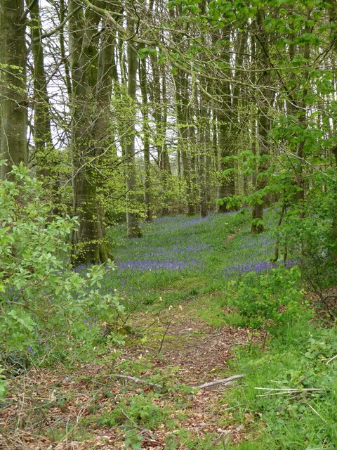
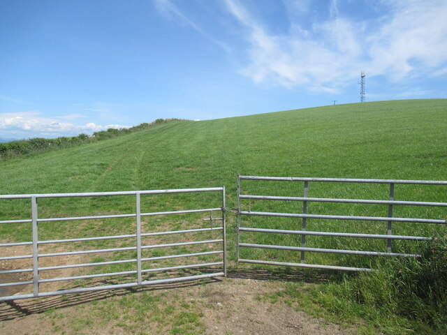
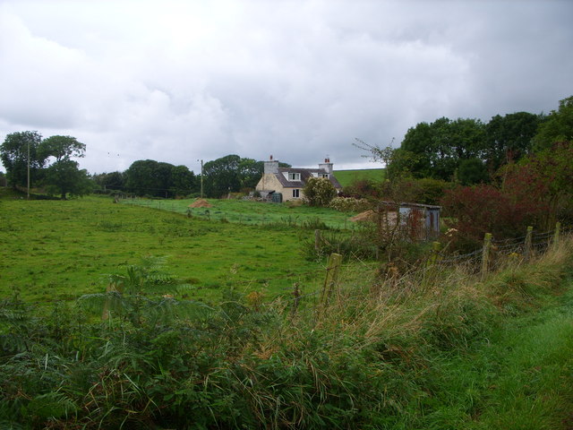
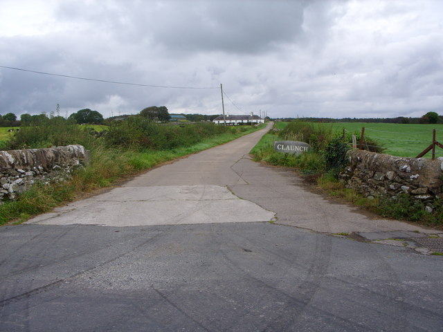
Alts Plantation is a picturesque woodland located in Wigtownshire, a historic county in southwestern Scotland. This enchanting forest covers an area of approximately 200 acres, making it a significant natural resource in the region. The plantation is situated near the village of Kirkcowan and is easily accessible by road, making it a popular destination for nature enthusiasts and outdoor enthusiasts alike.

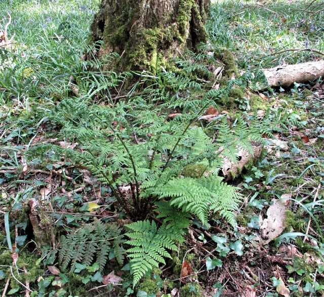
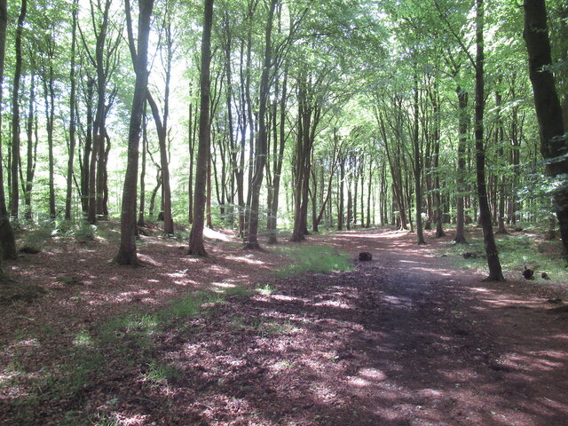
Alts Plantation is predominantly composed of a diverse mix of native tree species, including oak, birch, and pine. These trees provide a rich habitat for a variety of wildlife, such as red squirrels, roe deer, and numerous bird species. Birdwatchers are often treated to sightings of rare and elusive species, including the Scottish crossbill and the lesser spotted woodpecker.

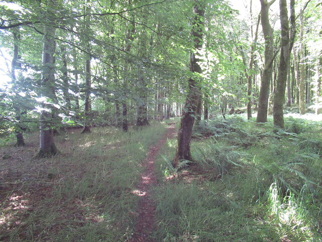
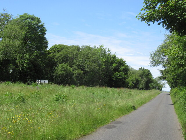
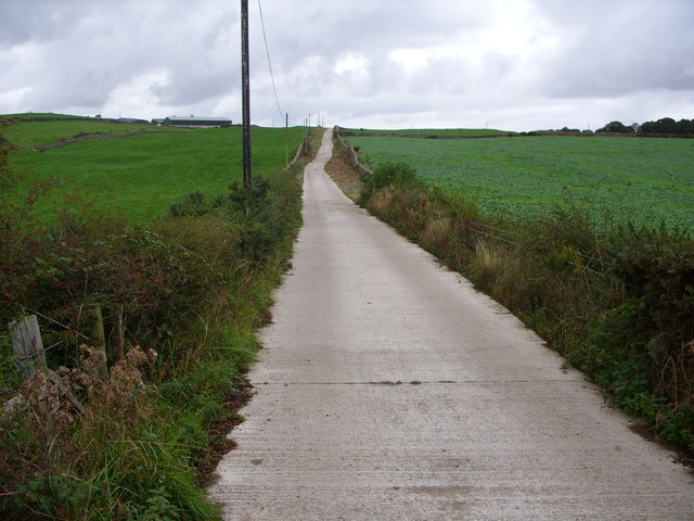
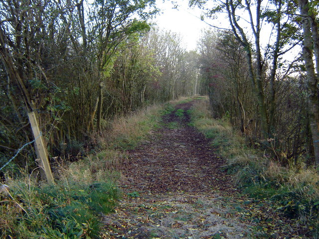
The woodland is crisscrossed by a network of well-maintained trails, allowing visitors to explore the area at their own pace. These trails offer breathtaking views of the surrounding countryside, with the rolling hills of Wigtownshire providing a stunning backdrop. The plantation also features a small river, which adds to the tranquility and charm of the area.

For those looking for a more immersive experience, Alts Plantation offers camping facilities, allowing visitors to spend the night under the starry skies. The peaceful atmosphere and absence of light pollution make it an ideal spot for stargazing and reconnecting with nature.

Overall, Alts Plantation is a hidden gem in Wigtownshire, offering a tranquil escape from the hustle and bustle of everyday life. Its natural beauty, diverse wildlife, and extensive trails make it a must-visit destination for those seeking a true Scottish woodland experience.

If you have any feedback on the listing, please let us know in the comments section below.

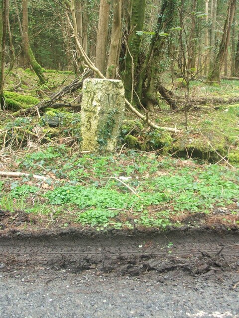
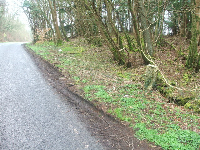
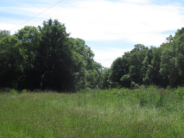
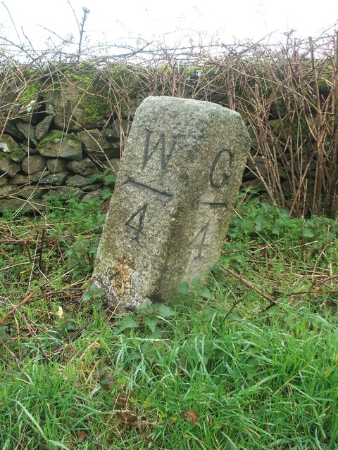
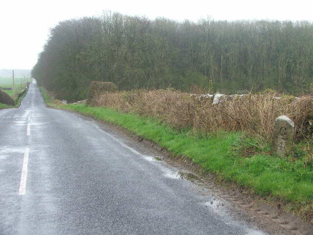
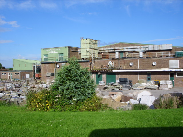
Alts Plantation Images

Images are sourced within 2km of 54.809348/-4.4548285 or Grid Reference NX4248. Thanks to Geograph Open Source API. All images are credited.

Bluebells in a glade in The Forest With walks in this Forest Commission Land.
Bluebells in a glade in The Forest
With walks in this Forest Commission Land.
Path, Kilsture Forest
Knockefferick Trig Point Flush Bracket S8231
New Growth A clump of Broad Buckler (Dryopteris dilatata) ferns appearing in time for Spring.
New Growth
A clump of Broad Buckler (Dryopteris dilatata) ferns appearing in time for Spring.
Old milestone On the west side verge in The Forest is the milestone 5 miles south of Wigton with 6 more miles to Whithorn.  A good clean wouldn't go amiss.
Old milestone
On the west side verge in The Forest is the milestone 5 miles south of Wigton with 6 more miles to Whithorn. A good clean wouldn't go amiss.
Old milestone Southwards towards Whithorn.   In April not much tree cover but by summer when there is full foliage on the trees, this milestone will be in the shade.
Old milestone
Southwards towards Whithorn. In April not much tree cover but by summer when there is full foliage on the trees, this milestone will be in the shade.
Road junction, Littlehills Wood A big unmown area between two gently diverging roads.
Road junction, Littlehills Wood
A big unmown area between two gently diverging roads.
B7004, Little Hills A one way stretch at a fork in the road away from the A746.
B7004, Little Hills
A one way stretch at a fork in the road away from the A746.
Turkey Hill
Turkey Hill
Kilsture Forest A waymarked path leading from a car park.
Kilsture Forest
A waymarked path leading from a car park.
Old milestone Almost invisible beneath the wall and under moss, the 4 miles from Wigtown milestone on the A746 is in the woods near the entrance to Knockencurr.
Old milestone
Almost invisible beneath the wall and under moss, the 4 miles from Wigtown milestone on the A746 is in the woods near the entrance to Knockencurr.
Old milestone Stop near the lane to Knockencurr and you'll find the milestone 7 miles north of Whithorn.
Old milestone
Stop near the lane to Knockencurr and you'll find the milestone 7 miles north of Whithorn.
Old milestone After leaving the A746 and turning south-eastwards onto the B7004 towards Garlieston this milestone is seen shortly before entering the woods.   It is opposite a telegraph pole on the southwest side of the road.   On the Wigtownshire milestones W can be for Wigtown or Whithorn, G can be for Garlieston or Glenluce.  On this route halfway between Wigtown and Garlieston.
Old milestone
After leaving the A746 and turning south-eastwards onto the B7004 towards Garlieston this milestone is seen shortly before entering the woods. It is opposite a telegraph pole on the southwest side of the road. On the Wigtownshire milestones W can be for Wigtown or Whithorn, G can be for Garlieston or Glenluce. On this route halfway between Wigtown and Garlieston.
Old milestone An undulating road towards Garlieston on a misty day.   The woods are the northern end of The Forest.
Old milestone
An undulating road towards Garlieston on a misty day. The woods are the northern end of The Forest.
Galloway Granite Works This building used to be Sorbie Creamery
Galloway Granite Works
This building used to be Sorbie Creamery
Knockeffrick Farm Road
Stonehouse Cottage
Stonehouse Cottage
Claunch Farm Road
Claunch Farm Road
Show me another place!

Alts Plantation is located at Grid Ref: NX4248 (Lat: 54.809348, Lng: -4.4548285)

Unitary Authority: Dumfries and Galloway

Police Authority: Dumfries and Galloway

What 3 Words

///jogged.advancing.drum. Near Whithorn, Dumfries & Galloway

Nearby Locations

Alts Plantation

Related Wikis

Kirkinner

Kirkinner (Scottish Gaelic: Cille Chainneir, IPA: [ˈkʲʰiʎə ˈxaɲɪɾʲ]) is a village in the Machars, in the historical county of Wigtownshire in Dumfries...

Sorbie railway station

Sorbie (NX4351447562) was a railway station that was located close to the village of Sorbie on the then Wigtownshire Railway branch line to Whithorn, from...

Whauphill

Whauphill is a small village located in the historical county of Wigtownshire in the Machars, Dumfries and Galloway, Scotland.Whauphill is a hub that supports...

Whauphill railway station

Whauphill (NX 40462 49887) was a railway station on the Wigtownshire Railway branch line, from Newton Stewart to Whithorn, of the Portpatrick and Wigtownshire...

Sorbie

Sorbie (Scottish Gaelic: Soirbidh) is a small village in Wigtownshire, Machars, within the Administration area of Dumfries and Galloway Council, Scotland...

Kirkinner railway station

Kirkinner was a railway station on the Wigtownshire Railway branch line, from Newton Stewart to Whithorn, of the Portpatrick and Wigtownshire Joint Railway...

Sorbie Tower

Sorbie Tower is a fortified tower house 1 mile east of the village of Sorbie, Dumfries and Galloway, Scotland. The ancient seat of the Clan Hannay, it...

Millisle railway station

Millisle, later Millisle for Garlieston was a railway station that was near the junction for Garlieston on the Wigtownshire Railway branch line, from Newton...

Nearby Amenities

Located within 500m of 54.809348,-4.4548285
Power: pole
Lat/Long: 54.8122109/-4.4580934
Power: pole
Lat/Long: 54.8106443/-4.4580463
Power: pole
Lat/Long: 54.8092104/-4.4580087
Power: pole
Lat/Long: 54.8071001/-4.457924
Power: pole
Lat/Long: 54.8058206/-4.4578535
Power: pole
Lat/Long: 54.8122162/-4.4494204
Power: pole
Lat/Long: 54.8116337/-4.4494282
Power: pole
Lat/Long: 54.8108354/-4.4493157
Power: pole
Lat/Long: 54.8100036/-4.4492128
Power: pole
Lat/Long: 54.8093461/-4.4491197
Power: pole
Lat/Long: 54.8084863/-4.4490149
Power: pole
Lat/Long: 54.8079026/-4.448949
Power: pole
Lat/Long: 54.8070092/-4.4488209
Power: pole
Lat/Long: 54.8064579/-4.4578886
Power: pole
Lat/Long: 54.8084853/-4.4579796
Power: pole
Lat/Long: 54.8077685/-4.4579508
Power: pole
Lat/Long: 54.8099369/-4.4580278
Power: pole
Lat/Long: 54.8114166/-4.4580695
Power: pole
Lat/Long: 54.8129685/-4.4581199
The data included in this document is from www.openstreetmap.org. The data is made available under ODbL.

Have you been to Alts Plantation?

Leave your review of Alts Plantation below (or comments, questions and feedback).