Culloden Plantation

Wood, Forest in Wigtownshire

Scotland

Culloden Plantation

Old milestone This milestone is just north of the entrance to Broadwigg Farm which is on opposite side of the A746.  Some dead grass tampled down but another milestone that needs a scrub down.
Old milestone Credit: Chris Minto

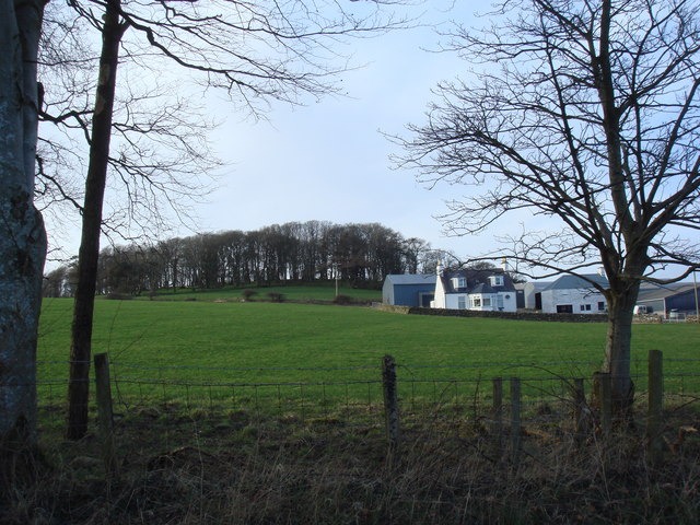
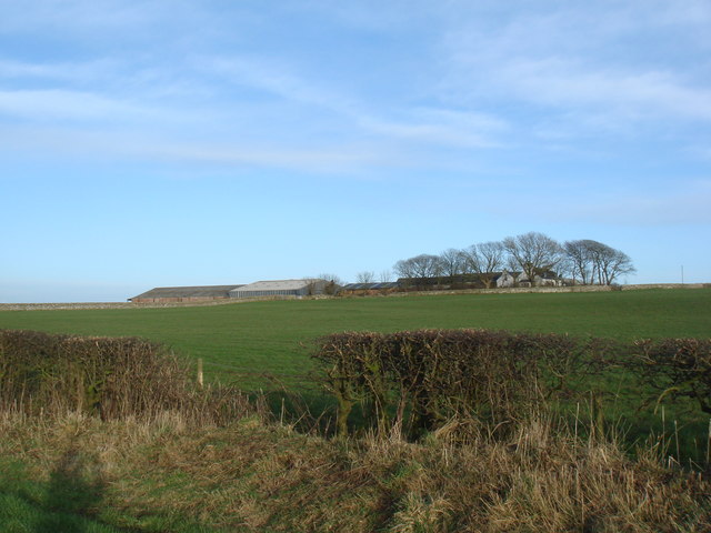
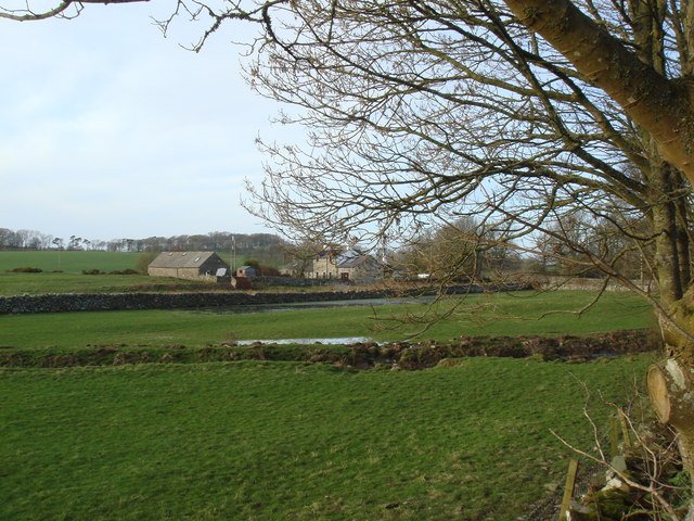
Culloden Plantation, located in Wigtownshire, is a historic woodland area known for its scenic beauty and rich cultural heritage. Spanning over several acres, the plantation is situated in the southwestern region of Scotland and is renowned for its diverse range of tree species and lush greenery.

The plantation is primarily covered by dense forests, consisting of towering oak, birch, and pine trees. These trees not only provide a stunning visual backdrop but also create a haven for various wildlife species, including deer, squirrels, and a multitude of bird species. This makes Culloden Plantation an ideal destination for nature enthusiasts and birdwatchers.

The history of Culloden Plantation dates back several centuries. It was originally established as a timber plantation in the 18th century, with the aim of meeting the growing demand for wood in the region. Over the years, the plantation has been carefully managed to preserve its natural beauty and ecological balance.

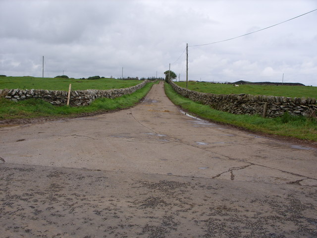
Visitors to Culloden Plantation can enjoy a range of outdoor activities, such as hiking, nature walks, and picnicking amidst the serene surroundings. The woodland also features well-maintained trails, allowing visitors to explore the plantation's hidden treasures at their own pace.

Culloden Plantation plays an essential role in the local community by providing a sustainable source of timber and contributing to the conservation of natural habitats. It is a testament to the region's commitment to preserving its natural heritage and offers a peaceful retreat for all those who seek solace in nature's embrace.

If you have any feedback on the listing, please let us know in the comments section below.

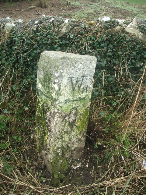
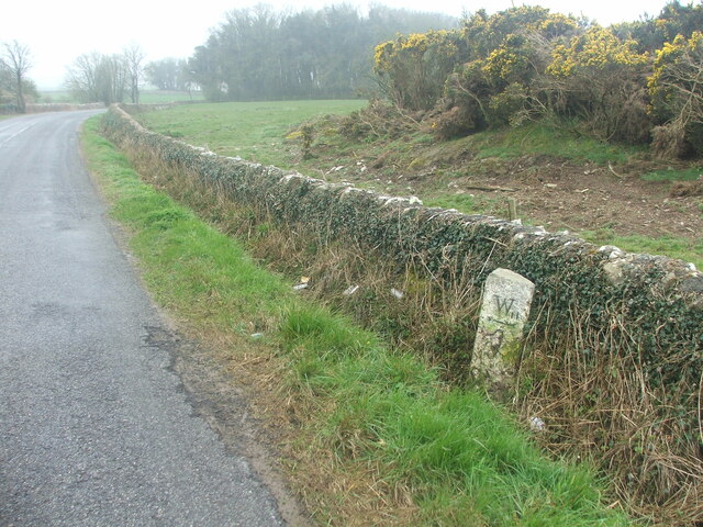
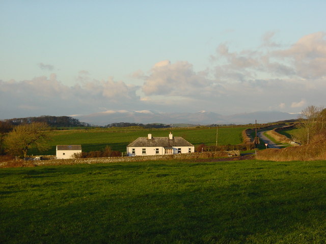
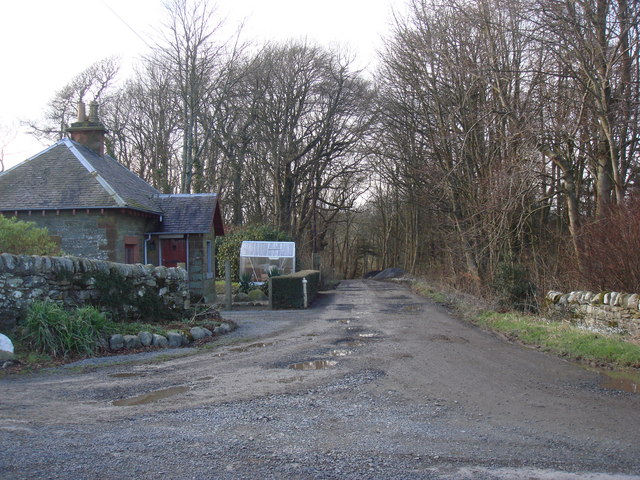
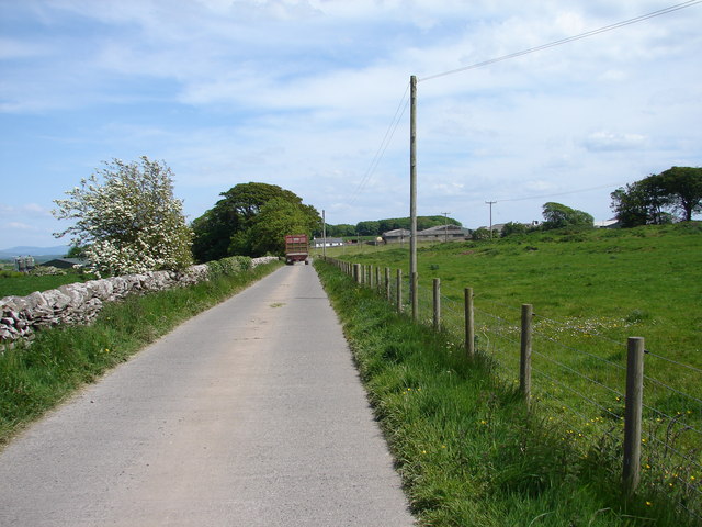
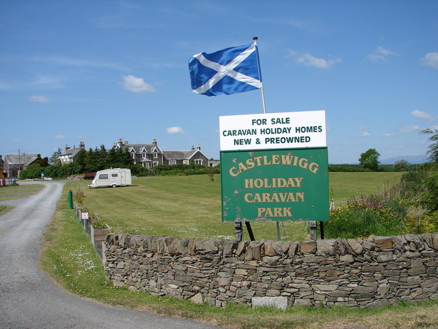
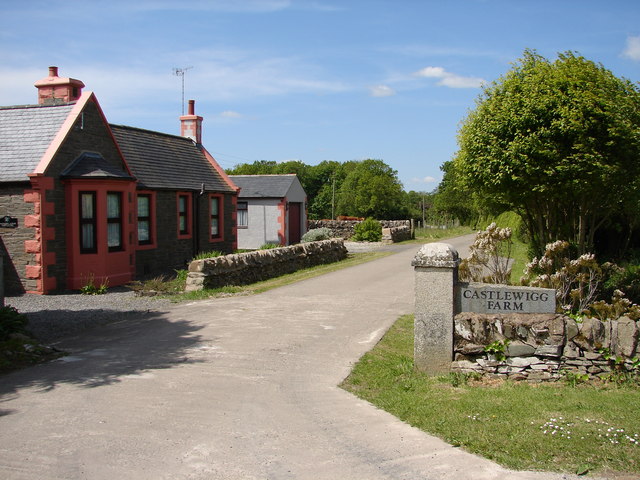
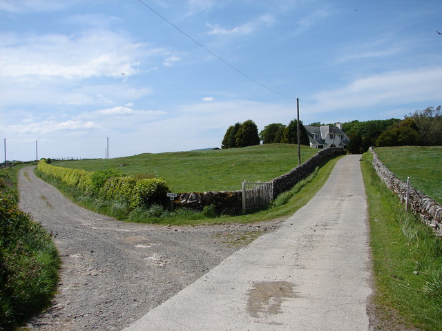
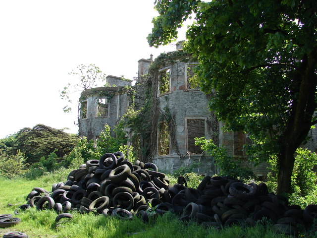
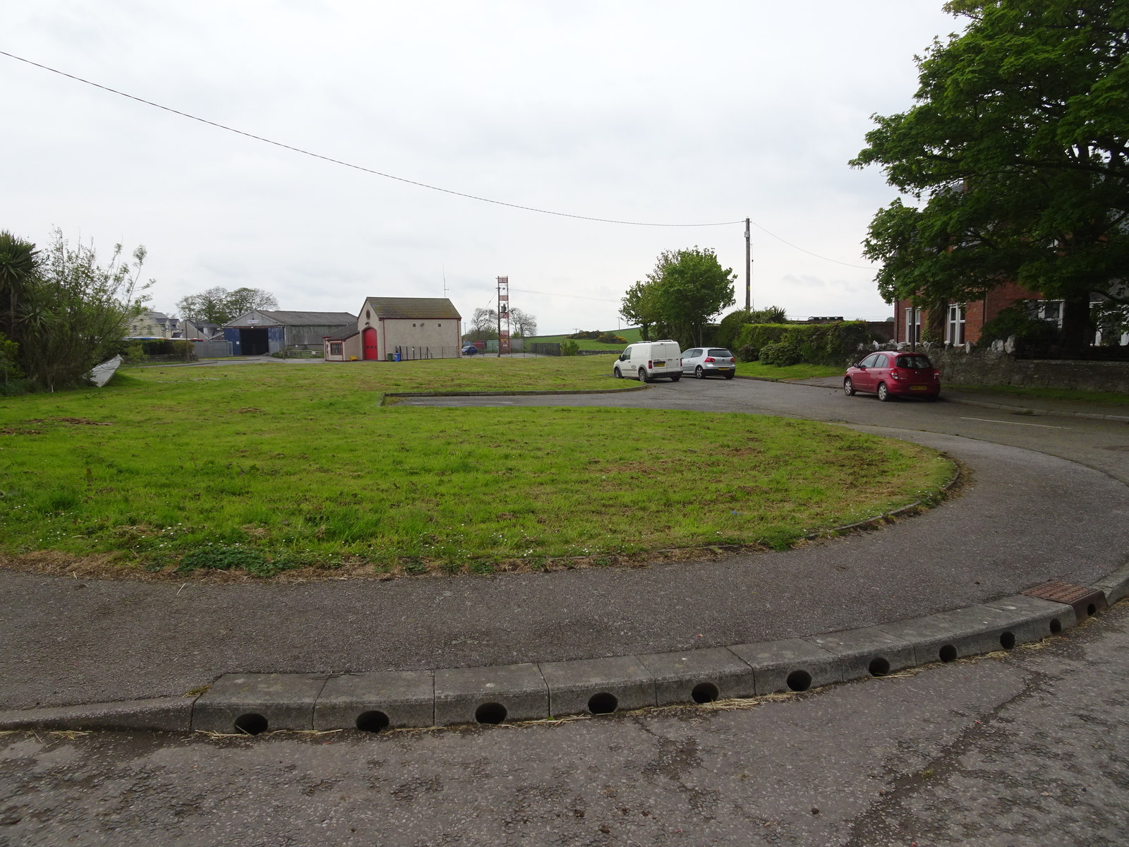
Culloden Plantation Images

Images are sourced within 2km of 54.751843/-4.4517658 or Grid Reference NX4242. Thanks to Geograph Open Source API. All images are credited.

Old milestone This milestone is just north of the entrance to Broadwigg Farm which is on opposite side of the A746.  Some dead grass tampled down but another milestone that needs a scrub down.
Old milestone
This milestone is just north of the entrance to Broadwigg Farm which is on opposite side of the A746. Some dead grass tampled down but another milestone that needs a scrub down.
Old milestone The view southwards along the A746 shows the milestone near a gorse covered mound in the field behind the wall.
Old milestone
The view southwards along the A746 shows the milestone near a gorse covered mound in the field behind the wall.
Old milestone This milestone doesn't look much different to what it did in 2008.  It needs some work from Highways to set it upright at its correct height and then it could be repainted.
Old milestone
This milestone doesn't look much different to what it did in 2008. It needs some work from Highways to set it upright at its correct height and then it could be repainted.
Old milestone The entrance to Outon Corwar farm is just out of shot on the east side of the road.  'Wh' is to the south, just 2 miles away.
Old milestone
The entrance to Outon Corwar farm is just out of shot on the east side of the road. 'Wh' is to the south, just 2 miles away.
Crossroads at Craig Cottages, with Southern Uplands in background
Ravenstone Lodge & drive to Ravenstone Castle
Ravenstone Mains
Ravenstone Mains
Moss Park - home of The Swallow Theatre Tiny theatre <span class="nowrap"><a title="www.swallowtheatre.com" rel="nofollow ugc noopener" href="http://www.swallowtheatre.com">Link</a><img style="margin-left:2px;" alt="External link" title="External link - shift click to open in new window" src="https://s1.geograph.org.uk/img/external.png" width="10" height="10"/></span> seating about 45 with stage lighting powered by renewables - wind turbine & solar panels.
Moss Park - home of The Swallow Theatre
Tiny theatre LinkExternal link seating about 45 with stage lighting powered by renewables - wind turbine & solar panels.
Appleby
Appleby
The B7021 at Bishopton Farm
Black's Plantation This minor road also leads to Whithorn Dump
Black's Plantation
This minor road also leads to Whithorn Dump
Bailliewhirr Farm Road
Broadwigg Farm Haylage and silage time at Broadwigg Farm near Whithorn.
Broadwigg Farm
Haylage and silage time at Broadwigg Farm near Whithorn.
Castlewigg Lodge and Caravan Park Castlewigg Holiday Caravan Park stands on the A746 Wigtown-Whithorn road. Castlewigg Lodge (formerly Castlewigg Hotel) is now a B&B.
Castlewigg Lodge and Caravan Park
Castlewigg Holiday Caravan Park stands on the A746 Wigtown-Whithorn road. Castlewigg Lodge (formerly Castlewigg Hotel) is now a B&B.
Whithorn Lodge, Castlewigg Lodge at Castlewigg Farm entrance carries the name Whithorn Lodge as it was originally the Whithorn Road entrance into the former Castlewigg Estate.
Whithorn Lodge, Castlewigg
Lodge at Castlewigg Farm entrance carries the name Whithorn Lodge as it was originally the Whithorn Road entrance into the former Castlewigg Estate.
Castlewigg House (Modern) View along Castlewigg Farm road of the modern Castlewigg House. The track to the left leads to Glove Hill Lodge at the western end of the former Castlewigg Estate.
Castlewigg House (Modern)
View along Castlewigg Farm road of the modern Castlewigg House. The track to the left leads to Glove Hill Lodge at the western end of the former Castlewigg Estate.
Castlewigg House & Tower Frontage of Castlewigg House (1800); it incorporated the original C16 Castle Wigg tower house at the rear. The mansion and tower were gutted and made roofless in 1954 – today it stands looking very neglected and tired (excuse pun) in the grounds of Castlewigg Farm. Slight remains around the mansion of a John Claudius Loudon gardens.
Castlewigg House & Tower
Frontage of Castlewigg House (1800); it incorporated the original C16 Castle Wigg tower house at the rear. The mansion and tower were gutted and made roofless in 1954 – today it stands looking very neglected and tired (excuse pun) in the grounds of Castlewigg Farm. Slight remains around the mansion of a John Claudius Loudon gardens.
Show me another place!

Culloden Plantation is located at Grid Ref: NX4242 (Lat: 54.751843, Lng: -4.4517658)

Unitary Authority: Dumfries and Galloway

Police Authority: Dumfries and Galloway

What 3 Words

///inflame.skidding.tramps. Near Whithorn, Dumfries & Galloway

Related Wikis

Rispain Camp

Rispain Camp is the remains of a fortified farmstead 1 mile west of Whithorn, Dumfries and Galloway, Scotland. It is one of the major Iron Age archaeological...

Whithorn railway station

Whithorn is the closed terminus of the Wigtownshire Railway branch, from Newton Stewart, of the Portpatrick and Wigtownshire Joint Railway. It served...

Whithorn

Whithorn (Scots pronunciation: [ˈʍɪthorn], Taigh Mhàrtainn in modern Gaelic), is a royal burgh in the historic county of Wigtownshire in Dumfries and Galloway...

Whithorn Priory

Whithorn Priory was a medieval Scottish monastery that also served as a cathedral, located at 6 Bruce Street in Whithorn, Wigtownshire, Dumfries and Galloway...

Nearby Amenities

Located within 500m of 54.751843,-4.4517658
Power: pole
Lat/Long: 54.7488273/-4.4565002
Power: pole
Lat/Long: 54.748748/-4.4548116
Power: pole
Lat/Long: 54.7486773/-4.453271
Power: pole
Lat/Long: 54.7485986/-4.4516585
Power: pole
Lat/Long: 54.7485187/-4.4500228
Power: pole
Lat/Long: 54.7484492/-4.448516
Power: pole
Lat/Long: 54.7483833/-4.44706
Power: pole
Lat/Long: 54.7476612/-4.4517917
The data included in this document is from www.openstreetmap.org. The data is made available under ODbL.

Have you been to Culloden Plantation?

Leave your review of Culloden Plantation below (or comments, questions and feedback).