Barr Wood

Wood, Forest in Dunbartonshire

Scotland

Barr Wood

Co-op Funeralcare, Dumbarton Funeral directors located in Bonhill Road, on the corner of Poindfauld Terrace.
Co-op Funeralcare, Dumbarton Credit: Richard Dorrell

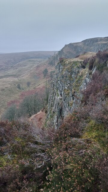
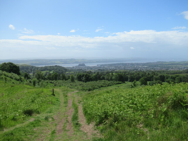
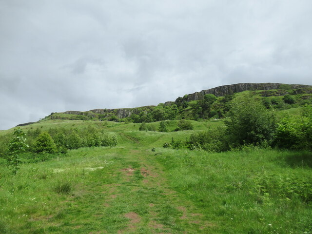
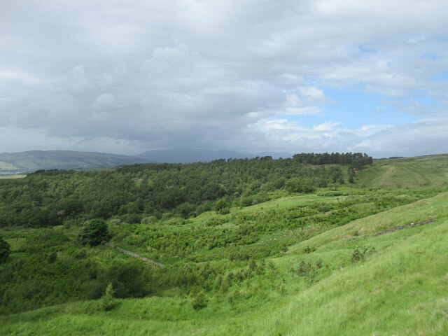
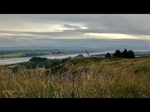
Barr Wood is a picturesque forest located in Dunbartonshire, Scotland. Covering an area of approximately 200 hectares, it is situated near the town of Kilsyth and is easily accessible from Glasgow, which is about 20 miles away. The wood is managed by the Scottish Forestry Commission and offers visitors a tranquil and scenic environment to explore.

Barr Wood is predominantly composed of native broadleaf trees, such as oak, birch, and beech, which provide a diverse habitat for a wide range of wildlife. The forest is particularly renowned for its bird population, with species such as woodpeckers, owls, and various songbirds frequently sighted. Additionally, the wood is home to several mammal species, including red squirrels, badgers, and roe deer.

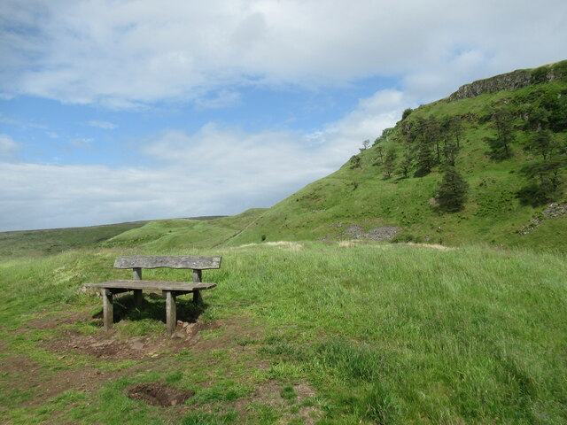
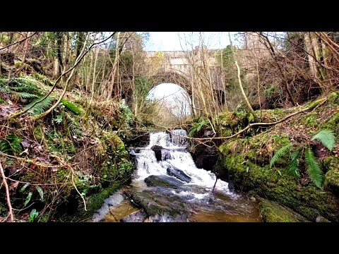
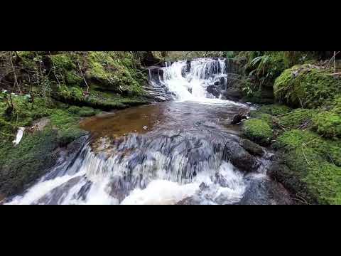
The forest offers a variety of walking trails that cater to different abilities, ranging from gentle strolls to more challenging hikes. The paths wind through the woodland, taking visitors past sparkling streams, peaceful ponds, and impressive viewpoints. For those interested in history, there are also remnants of ancient settlements and industrial features to discover.

Furthermore, Barr Wood provides various recreational activities, making it a popular destination for outdoor enthusiasts. Visitors can enjoy picnicking, wildlife watching, mountain biking, and orienteering. The forest also has a well-equipped visitor center, which offers information on the local flora and fauna, as well as facilities like toilets and a café.

Overall, Barr Wood in Dunbartonshire is a delightful natural haven, inviting visitors to immerse themselves in the beauty of Scotland's woodlands while enjoying a range of outdoor activities.

If you have any feedback on the listing, please let us know in the comments section below.
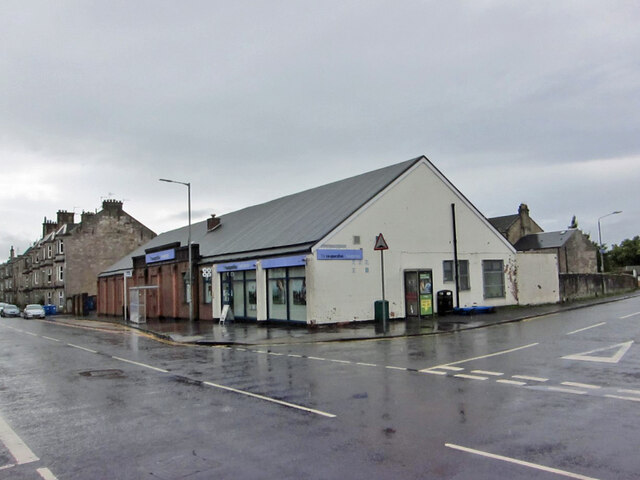
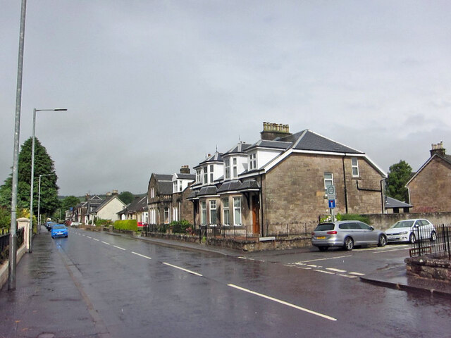
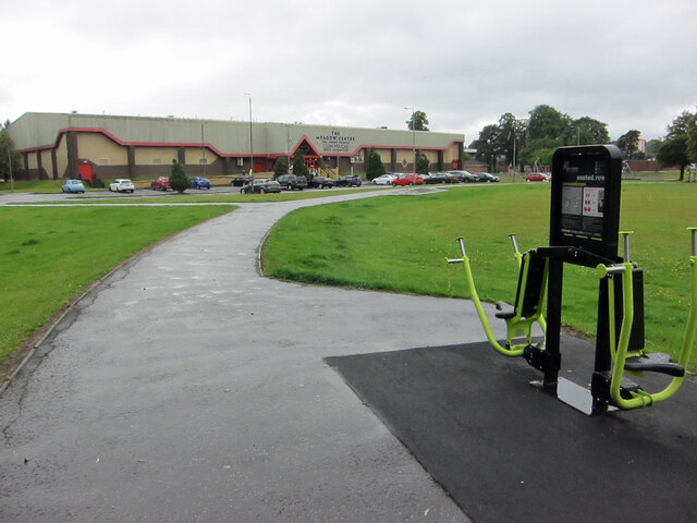
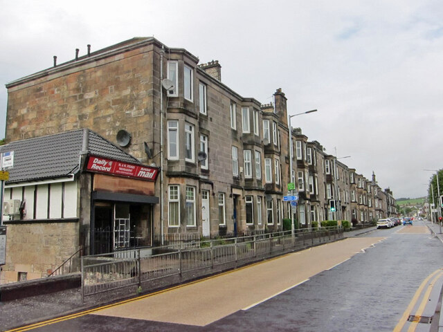
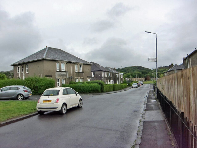
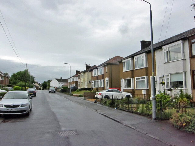
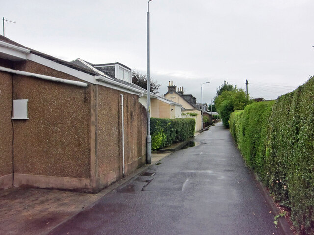
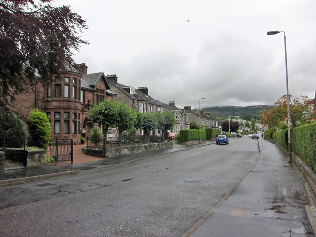
Barr Wood Images

Images are sourced within 2km of 55.960135/-4.5405103 or Grid Reference NS4177. Thanks to Geograph Open Source API. All images are credited.

Co-op Funeralcare, Dumbarton Funeral directors located in Bonhill Road, on the corner of Poindfauld Terrace.
Co-op Funeralcare, Dumbarton
Funeral directors located in Bonhill Road, on the corner of Poindfauld Terrace.
Bonhill Road, Dumbarton Looking north, with junction with Alexander Street on the right.
Bonhill Road, Dumbarton
Looking north, with junction with Alexander Street on the right.
Meadow Park, Dumbarton Formerly the home ground of Dumbarton Harp Football Club, now a public park featuring a variety of fitness machines, an example of which can be seen on the right here.
In the background is the Meadow Centre, a leisure centre with swimming pool, sports hall and health suites.
Meadow Park, Dumbarton
Formerly the home ground of Dumbarton Harp Football Club, now a public park featuring a variety of fitness machines, an example of which can be seen on the right here. In the background is the Meadow Centre, a leisure centre with swimming pool, sports hall and health suites.
Housing in Bonhill Road, Dumbarton Looking north from close to the junction with Crosslet Road.
The small shop on the end of the terrace is currently being completely refurbished.
Housing in Bonhill Road, Dumbarton
Looking north from close to the junction with Crosslet Road. The small shop on the end of the terrace is currently being completely refurbished.
Hartfield Gardens or Crosslet Road? It appears from the engraved road name in the wall, that when the houses were built, the road here was named Hartfield Gardens, and some maps still show the western end of Crosslet Road as having that name. The very faded more modern name sign reads Crosslet Road.
Hartfield Gardens or Crosslet Road?
It appears from the engraved road name in the wall, that when the houses were built, the road here was named Hartfield Gardens, and some maps still show the western end of Crosslet Road as having that name. The very faded more modern name sign reads Crosslet Road.
Colourful speed hump Located outside an entrance to Dumbarton Academy, this speed hump in Crosslet Road doubles as a crossing place for pedestrians.
Colourful speed hump
Located outside an entrance to Dumbarton Academy, this speed hump in Crosslet Road doubles as a crossing place for pedestrians.
Dumbarton Academy Viewed from just inside the vehicle entrance from Crosslet Road. 
The Academy is a West Dunbartonshire Council non-denominational secondary school with a roll of approximately 600 pupils.
Dumbarton Academy
Viewed from just inside the vehicle entrance from Crosslet Road. The Academy is a West Dunbartonshire Council non-denominational secondary school with a roll of approximately 600 pupils.
St Patrick's Primary School, Dumbarton Located adjacent to Dumbarton Academy in Crosslet Road, St Patrick's is a West Dunbartonshire Council Roman Catholic primary school with a current roll of approximately 360 pupils.
St Patrick's Primary School, Dumbarton
Located adjacent to Dumbarton Academy in Crosslet Road, St Patrick's is a West Dunbartonshire Council Roman Catholic primary school with a current roll of approximately 360 pupils.
Crosslet Road, Dumbarton Housing towards the eastern end of the road.
Crosslet Road, Dumbarton
Housing towards the eastern end of the road.
Millburn Road, Dumbarton Looking east. Junction with Boghead Avenue on the left.
Millburn Road, Dumbarton
Looking east. Junction with Boghead Avenue on the left.
Eastern end of Boghead Road Looking north-west from the cul-de-sac end of this residential road in suburban Dumbarton.
Eastern end of Boghead Road
Looking north-west from the cul-de-sac end of this residential road in suburban Dumbarton.
Boghead Road, Dumbarton This stretch of Boghead Road in suburban Dumbarton is very narrow and has no pedestrian pavement. Nevertheless, the road is the sole access to a number of residential properties.
Boghead Road, Dumbarton
This stretch of Boghead Road in suburban Dumbarton is very narrow and has no pedestrian pavement. Nevertheless, the road is the sole access to a number of residential properties.
Round Riding Road, Dumbarton Looking east from close to the junction with Boghead Road.
Round Riding Road, Dumbarton
Looking east from close to the junction with Boghead Road.
Lang Craigs, Kilpatrick Hills There is a footpath running alongside a fence (for the most part) close to the edge of this steep impressive escarpment.
The Kilpatrick Hills, though only reaching around 400 metres at their highest, have the feel of something a bit bigger. The hills take their name from a village on the Western outskirts of Glasgow called Old Kilpatrick, which translates as 'old church of Patrick'. It is said by some that St Patrick - the patron saint of Ireland and credited with founding Christianity there - grew up near the village before being kidnapped (for whatever reason!) by Irish pirates.
Lang Craigs, Kilpatrick Hills
There is a footpath running alongside a fence (for the most part) close to the edge of this steep impressive escarpment. The Kilpatrick Hills, though only reaching around 400 metres at their highest, have the feel of something a bit bigger. The hills take their name from a village on the Western outskirts of Glasgow called Old Kilpatrick, which translates as 'old church of Patrick'. It is said by some that St Patrick - the patron saint of Ireland and credited with founding Christianity there - grew up near the village before being kidnapped (for whatever reason!) by Irish pirates.
View towards Dumbarton from path by Lang Craigs The area of woodland and grassland beneath Lang Craigs is managed by Forestry and Land Scotland, an agency of the Scottish Government.

Dumbarton Rock is visible beside the Firth of Clyde in the distance.
View towards Dumbarton from path by Lang Craigs
The area of woodland and grassland beneath Lang Craigs is managed by Forestry and Land Scotland, an agency of the Scottish Government. Dumbarton Rock is visible beside the Firth of Clyde in the distance.
Path below Lang Craigs Extensive tree plantings have been made by Forestry and Land Scotland (who manage the site) in this area beneath the basalt lava escarpment of the Lang Craigs.
Path below Lang Craigs
Extensive tree plantings have been made by Forestry and Land Scotland (who manage the site) in this area beneath the basalt lava escarpment of the Lang Craigs.
Bench below the Lang Craigs The basalt lava escarpment of the Lang Craigs looms over the network of paths below, managed by Forestry and Land Scotland, an agency of the Scottish Government.
Bench below the Lang Craigs
The basalt lava escarpment of the Lang Craigs looms over the network of paths below, managed by Forestry and Land Scotland, an agency of the Scottish Government.
Black Wood viewed from the path below Lang Craigs An incoming rain shower can be seen over the Luss Hills in the distance.
Black Wood viewed from the path below Lang Craigs
An incoming rain shower can be seen over the Luss Hills in the distance.
Show me another place!

Barr Wood is located at Grid Ref: NS4177 (Lat: 55.960135, Lng: -4.5405103)

Unitary Authority: West Dunbartonshire

Police Authority: Argyll and West Dunbartonshire

What 3 Words

///campers.acclaimed.pilots. Near Bonhill, West Dunbartonshire

Related Wikis

Bellsmyre

Bellsmyre is a large housing estate in the town of Dumbarton in West Dunbartonshire, Scotland. Located on the edge of the Kilpatrick Hills in the northeast...

Dunbartonshire

Dunbartonshire (Scottish Gaelic: Siorrachd Dhùn Breatann) or the County of Dumbarton is a historic county, lieutenancy area and registration county in...

Our Lady and St Patrick's High School

Our Lady & St Patrick's High School is a six-year co-educational comprehensive Roman Catholic school, situated in the Bellsmyre area of Dumbarton, Scotland...

Ian Napier

Captain Ian Patrick Robert Napier (24 June 1895 – 9 May 1977) was a Scottish World War I flying ace credited with twelve aerial victories. == Biography... ==

Overtoun Bridge

Overtoun Bridge is a category B-listed structure over the Overtoun Burn on the approach road from the west to Overtoun House, near Dumbarton in West Dunbartonshire...

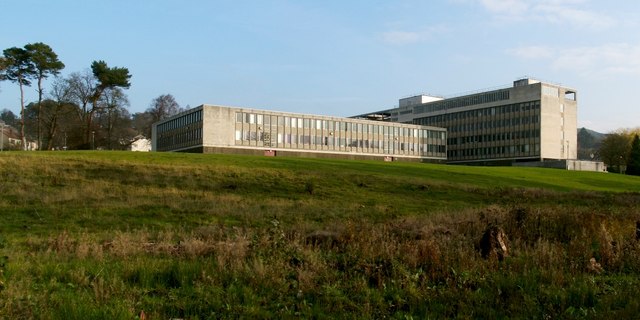
County Buildings, Dumbarton

County Buildings was a municipal structure in Garshake Road, Dumbarton, West Dunbartonshire, Scotland. The complex was the headquarters of Dunbartonshire...
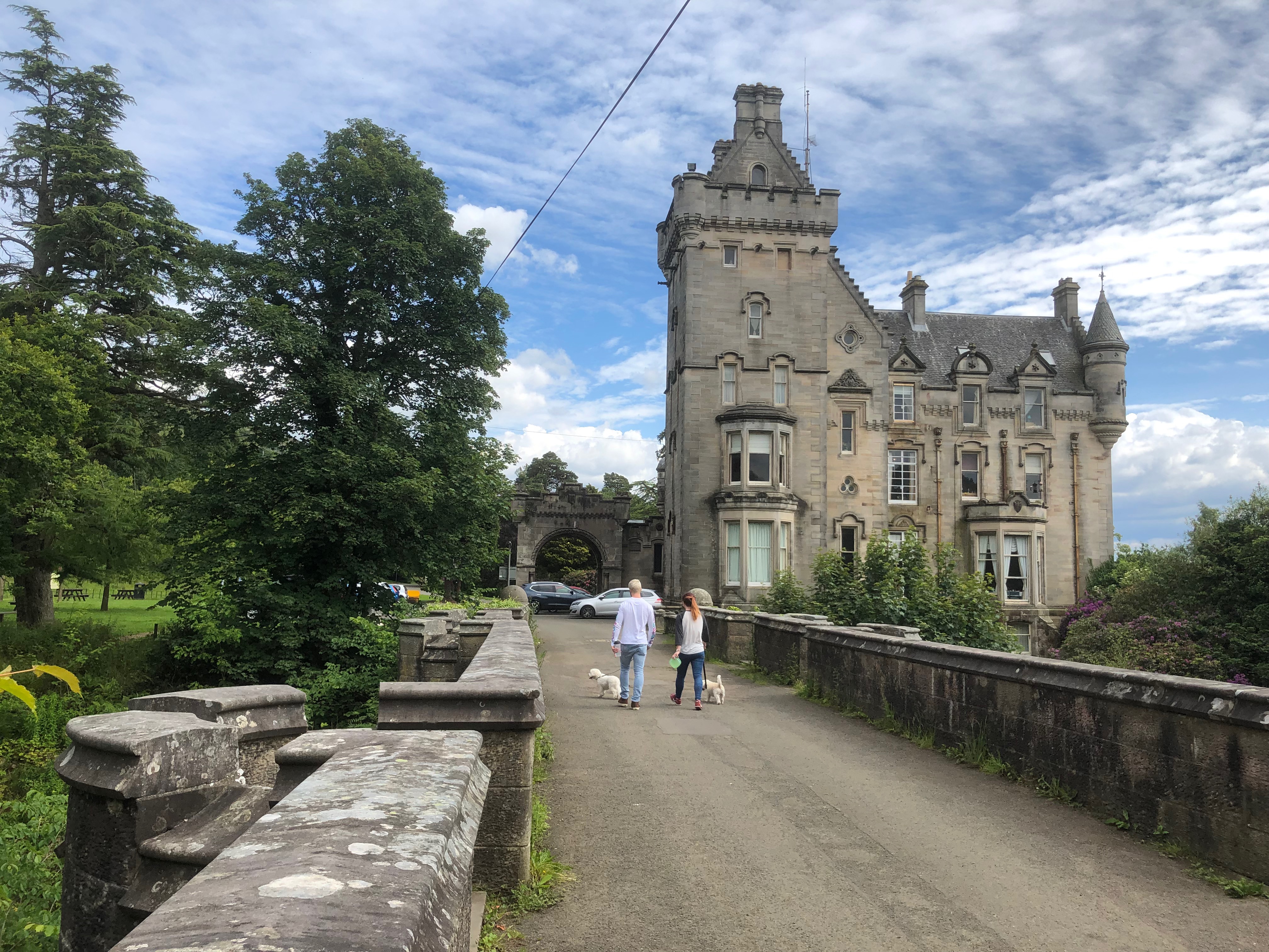
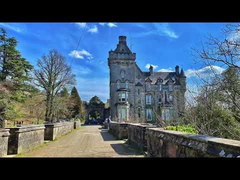
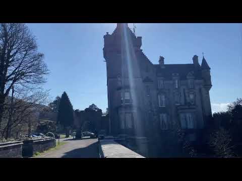
Overtoun House

Overtoun House is a 19th-century country house and estate in West Dunbartonshire, Scotland. Situated on a hill overlooking the River Clyde, it is two kilometres...

Boghead Park

Boghead Park was a football ground in the town of Dumbarton, Scotland. It was owned by Dumbarton F.C., who played there for 121 years between 1879 and...

Related Videos

The Lang Craigs....(Long Crags) Dumbarton - A Circular Walk. 🏴󠁧󠁢󠁳󠁣󠁴󠁿

https://www.wdwalkabout.com/lang-craigs.html LANG CRAIGS DUMBARTON Scientific Interest: West Dunbartonshire.

Pappert Hill Walk and Pappert Well. Dumbarton Kilpatrick Hills

Discover this 6.4-km circular trail near Alexandria, West Dunbartonshire. Generally considered an easy route, it takes an average ...

Kilpatrick Hills-Overton House Glen Walk.

I started this walking at Campbell Avenue, Dumbarton, G82 3PQ.

Overton House Burn Waterfalls.. Kilpatrick Hills..West Dunbartonshire.

Built in 1862, Overtoun House in West Dunbartonshire boasts historic gardens, picnic areas, Victorian architecture and wonderful ...

Kilpatrick Hills - Murroch Glen and Auchenreoch Glen

Murroch Glen | Woodlands District: Vale of Leven | Postcode: G82 3PY A 50Ha area with extensive woodland, and a wide variety ...

Adventures in Scotland - Overtoun Estate

Overtoun Estate in Dumbarton, Scotland. Great Scottish scenery. Walks and waterfalls. Lang Craigs Woodland Trust Woods.

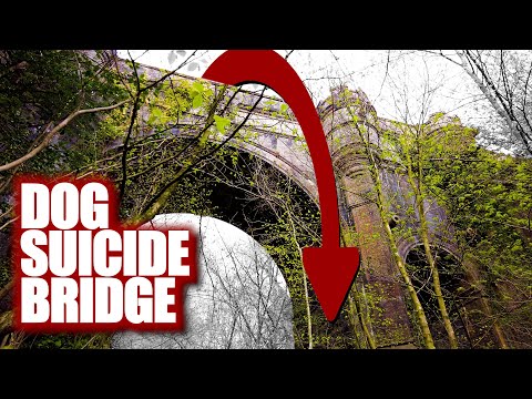
Dogs are Leaping to Their Deaths Off Overtoun Bridge

Strange forces convince dogs to jump off the top of the Overtoun bridge in Scotland, oftentimes, to their deaths. For now, only ...
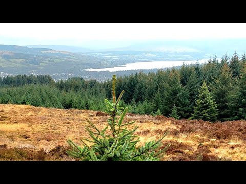
the Lang Craigs

An evening saunter around the Lang Craig's with some nice views over Dumbarton and Loch Lomond. I set out around half seven ...

A walk to Overtoun House | BambengVlogs UK

Overtoun House is a 19th-century country house and estate in West Dunbartonshire, Scotland. Situated on a hill overlooking the ...

DOG BRIDGE OF DEATH - Curious Haunts #21 #shorts #spooky

The Overtoun Bridge - in Scotland is referred to by locals as the "Bridge of Death" or the "Dog Suicide Bridge", after 50 dogs have ...

Chester’s Great Day Out - Vizsla

As it was a beautiful Autumn day we thought of going to Overtoun where you not only get a great walk but stunning views too.

Overtoun House May 2023

A collection of photos, taken with a drone, during a visit to Overtoun House Country Park, in the hills above Dumbarton, in May ...

pengakuanidiot // pkm // ihmsiwtd(5)

bocahkagapaham.. #allahuakbar #bismillahirrahmanirrahim #miawmiaw.

pengakuanidiot // pkm // ihmsiwtd(1)

bocahkagapaham.. #allahuakbar #bismillahirrahmanirrahim #miawmiaw.

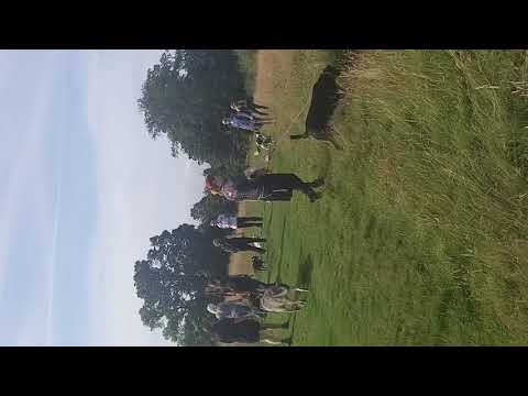
Pack walks are a great way to socialise

If you're struggling with your dog or struggling to create situations to challenge your dog, then get on a pack walk.

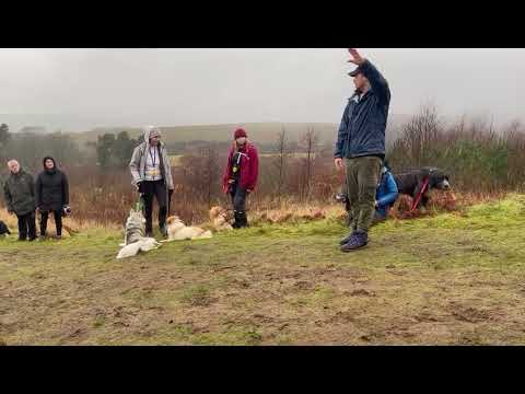
Attention Command Affection, in that order

such a simple concept that many struggle with.

Nearby Amenities

Located within 500m of 55.960135,-4.5405103
Power: tower
Lat/Long: 55.9597526/-4.5457139
Power: tower
Lat/Long: 55.960363/-4.5456788
Power: tower
Lat/Long: 55.9576121/-4.5386698
Power: tower
Lat/Long: 55.9581433/-4.5383323
Power: tower
Lat/Long: 55.9584542/-4.541441
Power: tower
Lat/Long: 55.958929/-4.5409328
Power: pole
Lat/Long: 55.9599553/-4.5477901
Power: pole
Lat/Long: 55.9595881/-4.5466753
Power: pole
Lat/Long: 55.9592092/-4.5455396
Power: pole
Lat/Long: 55.9588151/-4.5443976
Power: pole
Lat/Long: 55.9584644/-4.5433457
Power: pole
Lat/Long: 55.958116/-4.5423169
Power: pole
Lat/Long: 55.9577641/-4.5412797
Power: pole
Lat/Long: 55.9574193/-4.5402948
Power: pole
Lat/Long: 55.9567459/-4.5403304
Power: pole
Lat/Long: 55.956082/-4.5404017
Power: pole
Lat/Long: 55.9559823/-4.5405756
Power: pole
Lat/Long: 55.9566779/-4.540496
Power: pole
Lat/Long: 55.9573489/-4.5404352
Power: pole
Lat/Long: 55.9576914/-4.5414473
Power: pole
Lat/Long: 55.9580973/-4.5426542
Power: pole
Lat/Long: 55.9584761/-4.5437941
Power: pole
Lat/Long: 55.9592233/-4.5460069
Power: pole
Lat/Long: 55.9595799/-4.5470735
Power: pole
Lat/Long: 55.959872/-4.5479514
Power: pole
Lat/Long: 55.9610132/-4.5342202
Power: pole
Lat/Long: 55.9612267/-4.5330049
The data included in this document is from www.openstreetmap.org. The data is made available under ODbL.

Have you been to Barr Wood?

Leave your review of Barr Wood below (or comments, questions and feedback).