South Challochblewn Plantation

Wood, Forest in Wigtownshire

Scotland

South Challochblewn Plantation

Scrub woodland, Craiglemine
Scrub woodland, Craiglemine Credit: Richard Webb

South Challochblewn Plantation is a picturesque woodland located in Wigtownshire, a historic county in southwestern Scotland. Covering an area of approximately 100 acres, the plantation is situated in the rural countryside, surrounded by rolling hills and meandering streams.

The woodland is predominantly composed of native tree species, including oak, beech, and birch, which create a diverse and vibrant ecosystem. The dense canopy provides a habitat for a wide range of flora and fauna, making it an ideal destination for nature enthusiasts and wildlife observers.

Tranquil walking trails wind their way through the plantation, offering visitors the opportunity to explore the natural beauty of the area. These paths are well-maintained and suitable for individuals of all ages and fitness levels. Along the trails, visitors may encounter a variety of plant species, such as bluebells and wild garlic, which create a colorful carpet during the spring months.

South Challochblewn Plantation is not only a haven for nature lovers but also a recreational space for outdoor activities. The woodland is a popular spot for picnicking, birdwatching, and photography. Additionally, the plantation provides a peaceful environment for meditation and relaxation.

Managed by local authorities, the plantation ensures the preservation of the woodland’s natural resources and the conservation of its biodiversity. Regular maintenance and conservation efforts are undertaken to protect the delicate balance of the ecosystem and provide a sustainable environment for future generations to enjoy.

In summary, South Challochblewn Plantation in Wigtownshire is a stunning woodland retreat, boasting a diverse range of native flora and fauna. Its tranquil walking trails and recreational opportunities make it an ideal destination for those seeking to immerse themselves in nature.

If you have any feedback on the listing, please let us know in the comments section below.

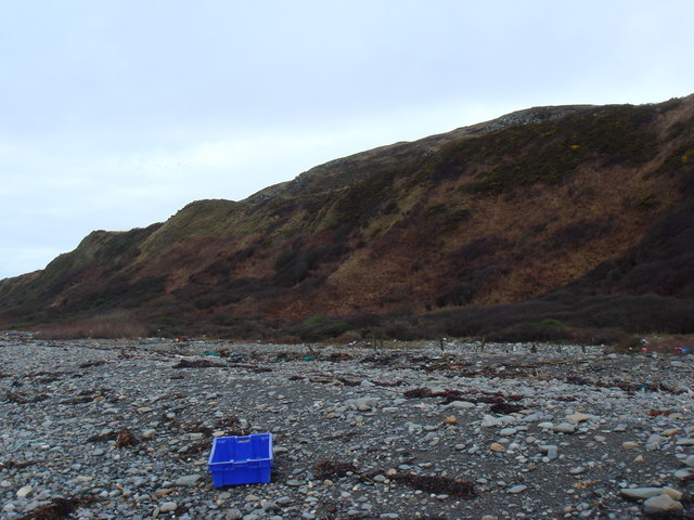
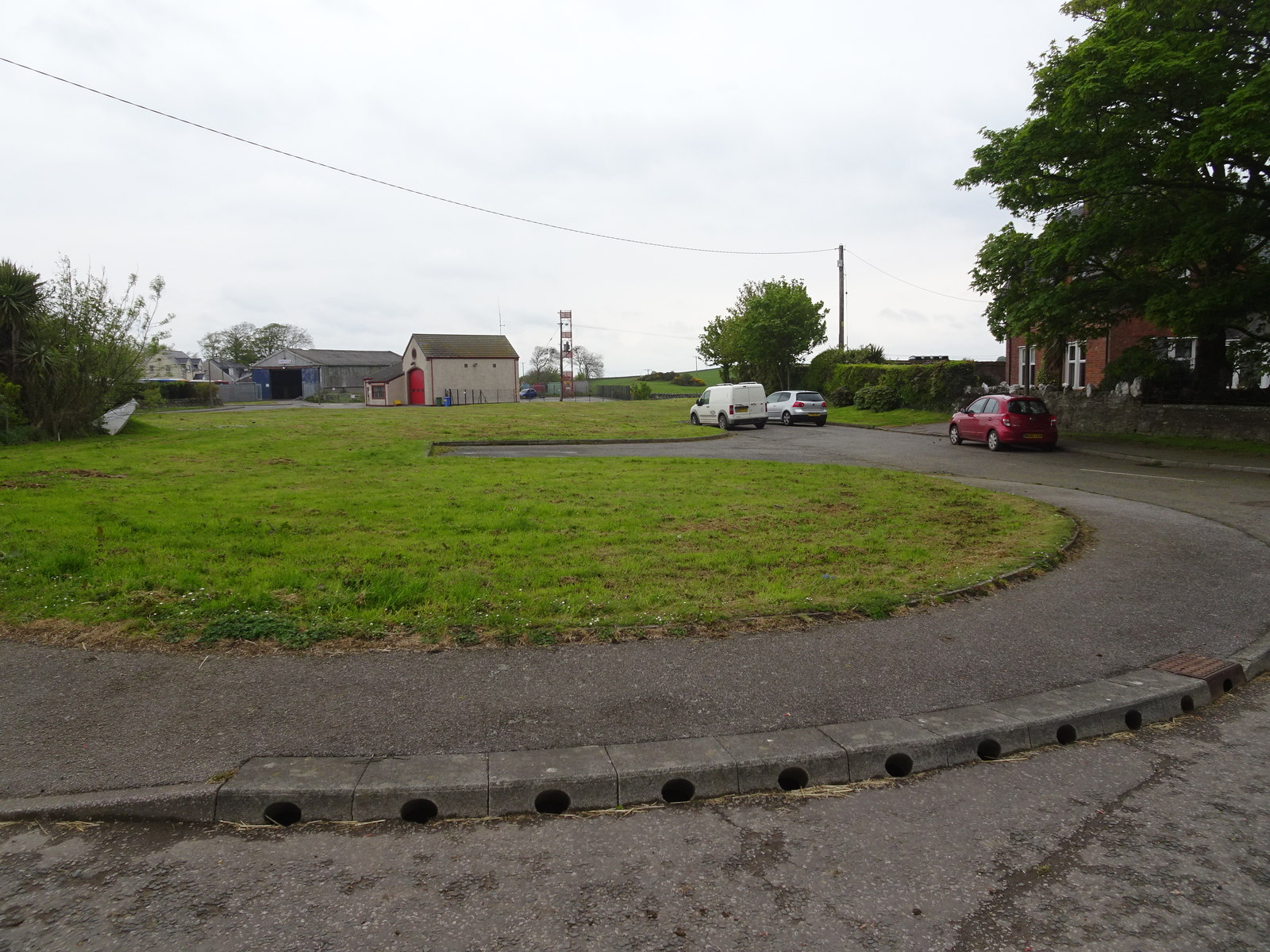
South Challochblewn Plantation Images

Images are sourced within 2km of 54.711267/-4.4645463 or Grid Reference NX4137. Thanks to Geograph Open Source API. All images are credited.

Scrub woodland, Craiglemine
Herringbone dyking, Craiglemine
Low Craiglemine Residue of Foot & Mouth protest slogan on farm building
Low Craiglemine
Residue of Foot & Mouth protest slogan on farm building
Fell of Carleton Beached Bird Survey walk
Fell of Carleton
Beached Bird Survey walk
Bessie Yon Track View SW along the track from Craiglemine Tigh (A747) to Bessie Yon and Carleton.
Bessie Yon Track
View SW along the track from Craiglemine Tigh (A747) to Bessie Yon and Carleton.
Laggan Pond This is quite a remote spot, not easy to reach. The pond was reputed to have been stocked with carp sometime in the 19th century, although why and by whom is a mystery. Beyond the pond there is a steep drop of about 150 feet to the beach and the waters of Luce Bay.
Laggan Pond
This is quite a remote spot, not easy to reach. The pond was reputed to have been stocked with carp sometime in the 19th century, although why and by whom is a mystery. Beyond the pond there is a steep drop of about 150 feet to the beach and the waters of Luce Bay.
Laggan Camp and Pond Laggan Camp is a hill fort which looks especially impressive when viewed from above from the slopes of the Fell of Carleton. Next to it is Laggan Pond and beyond that steep heughs drop down to the shores of Luce Bay. (This picture is a composite of two photographs).
Laggan Camp and Pond
Laggan Camp is a hill fort which looks especially impressive when viewed from above from the slopes of the Fell of Carleton. Next to it is Laggan Pond and beyond that steep heughs drop down to the shores of Luce Bay. (This picture is a composite of two photographs).
Laggan Pond and the Fell of Carleton Viewed from the top of Laggan Camp hill fort. The 1:50000 map names the shoulder of the Fell of Carleton (on the skyline to the right of the picture) as "The Gled's Nest" (Gled is a Scots name for a kite or buzzard). However, the 1:25000 map seems to attach the name to the little hill to the seaward side of the pond, or possibly the steep heugh that drops off beyond it to the beach, and shows the shoulder of the Fell as being called the Fox Hunt.
Laggan Pond and the Fell of Carleton
Viewed from the top of Laggan Camp hill fort. The 1:50000 map names the shoulder of the Fell of Carleton (on the skyline to the right of the picture) as "The Gled's Nest" (Gled is a Scots name for a kite or buzzard). However, the 1:25000 map seems to attach the name to the little hill to the seaward side of the pond, or possibly the steep heugh that drops off beyond it to the beach, and shows the shoulder of the Fell as being called the Fox Hunt.
Mill Stone Howe Obviously where rocks suitable for use as millstones could be found. The view is along the eastern shore of Luce Bay towards the Point of Lag near Monreith.
Mill Stone Howe
Obviously where rocks suitable for use as millstones could be found. The view is along the eastern shore of Luce Bay towards the Point of Lag near Monreith.
Old Walls, Laggan Pond I wonder if they meet underwater...  Beyond is the steep western face of the Fell of Carleton, and the tree lined gully called the Needles Eye.
Old Walls, Laggan Pond
I wonder if they meet underwater... Beyond is the steep western face of the Fell of Carleton, and the tree lined gully called the Needles Eye.
Low Craiglemine View of the farm entrance and buildings at the side of the A747.
Low Craiglemine
View of the farm entrance and buildings at the side of the A747.
Low Craiglemine View along the A747 past the farm in the direction of Glasserton.
Low Craiglemine
View along the A747 past the farm in the direction of Glasserton.
Track to Craiglemine Tigh This farm track runs back down to the A747 in this direction.
Track to Craiglemine Tigh
This farm track runs back down to the A747 in this direction.
Track to Bessie Yon and Carleton Farm View of the track at it runs down to the derelict cottage right of picture and the farm left.
Track to Bessie Yon and Carleton Farm
View of the track at it runs down to the derelict cottage right of picture and the farm left.
Fell of Carleton View across to the fell which is mostly rough farmland, ferns, gorse and rocky outcrops.
Fell of Carleton
View across to the fell which is mostly rough farmland, ferns, gorse and rocky outcrops.
Track to Craiglemine Tigh View along this track in the direction of the A747.
Track to Craiglemine Tigh
View along this track in the direction of the A747.
Carleton One of two gates on this track to Carleton Farm, the other being next to Bessie Yon.
Carleton
One of two gates on this track to Carleton Farm, the other being next to Bessie Yon.
Low Craiglemine View across to the farm with Craigdhu Wood on the horizon.
Low Craiglemine
View across to the farm with Craigdhu Wood on the horizon.
Show me another place!

South Challochblewn Plantation is located at Grid Ref: NX4137 (Lat: 54.711267, Lng: -4.4645463)

Unitary Authority: Dumfries and Galloway

Police Authority: Dumfries and Galloway

What 3 Words

///airbag.bottom.narrates. Near Whithorn, Dumfries & Galloway

Related Wikis

Glasserton

Glasserton is a civil parish in Dumfries and Galloway, south-west Scotland. It is on the Machars peninsula, in the traditional county of Wigtownshire....

St Ninian's Cave

St Ninian's Cave is a cave in Physgill Glen, Whithorn, Dumfries and Galloway, Scotland. It features in the climax of the acclaimed 1973 horror film The...

Rispain Camp

Rispain Camp is the remains of a fortified farmstead 1 mile west of Whithorn, Dumfries and Galloway, Scotland. It is one of the major Iron Age archaeological...

Whithorn Priory

Whithorn Priory was a medieval Scottish monastery that also served as a cathedral, located at 6 Bruce Street in Whithorn, Wigtownshire, Dumfries and Galloway...

Candida Casa

Candida Casa was the name given to the church established by St Ninian in Whithorn, Galloway, southern Scotland, in the mid fifth century AD. The name...

Whithorn

Whithorn (Scots pronunciation: [ˈʍɪthorn], Taigh Mhàrtainn in modern Gaelic), is a royal burgh in the historic county of Wigtownshire in Dumfries and Galloway...

Whithorn railway station

Whithorn is the closed terminus of the Wigtownshire Railway branch, from Newton Stewart, of the Portpatrick and Wigtownshire Joint Railway. It served...

Burrow Head

Burrow Head is a headland located approximately two miles south-west of Isle of Whithorn, Wigtownshire, Scotland, and is the second southernmost point...

Nearby Amenities

Located within 500m of 54.711267,-4.4645463
Power: pole
Lat/Long: 54.7121728/-4.4574363
Power: pole
Lat/Long: 54.7115742/-4.4579113
The data included in this document is from www.openstreetmap.org. The data is made available under ODbL.

Have you been to South Challochblewn Plantation?

Leave your review of South Challochblewn Plantation below (or comments, questions and feedback).