Backlochans Wood

Wood, Forest in Ayrshire

Scotland

Backlochans Wood

Pierhill, a large house
Pierhill, a large house Credit: Alan Reid

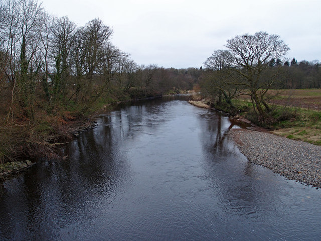
Backlochans Wood is a picturesque forest located in Ayrshire, Scotland. Covering an area of approximately 50 hectares, this woodland is a haven for nature enthusiasts and those seeking a tranquil escape from the hustle and bustle of everyday life.

The wood is predominantly composed of native tree species, including oak, birch, and rowan, which create a diverse and vibrant ecosystem. It is also home to a variety of wildlife, such as red squirrels, roe deer, and a wide range of bird species, making it a popular destination for birdwatching and wildlife spotting.

The woodland is crisscrossed with a network of well-maintained paths, allowing visitors to explore its beauty on foot. These paths lead to a tranquil lochan (small lake) nestled within the wood, offering a serene spot for picnicking or simply enjoying the peaceful surroundings.

Backlochans Wood is also notable for its historical significance. It is believed to have been part of the ancient Caledonian Forest that covered much of Scotland thousands of years ago. Remnants of this ancient woodland can still be seen in the form of ancient trees and gnarled branches, providing a glimpse into the area's rich natural heritage.

The wood is easily accessible, with a car park and visitor facilities available nearby. It is a popular destination for locals and tourists alike, offering a place of natural beauty and tranquility to be enjoyed throughout the year.

If you have any feedback on the listing, please let us know in the comments section below.

Backlochans Wood Images

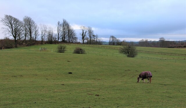
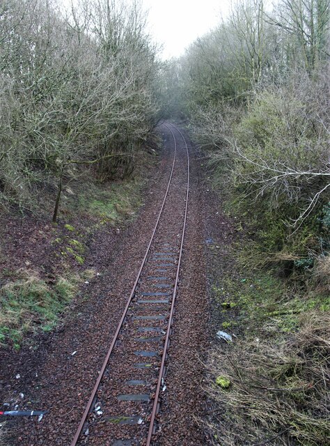
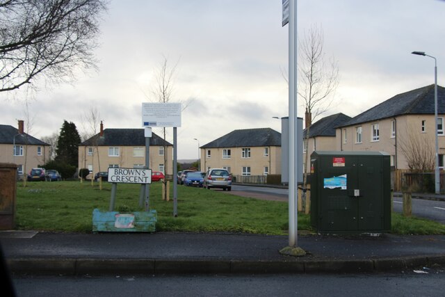
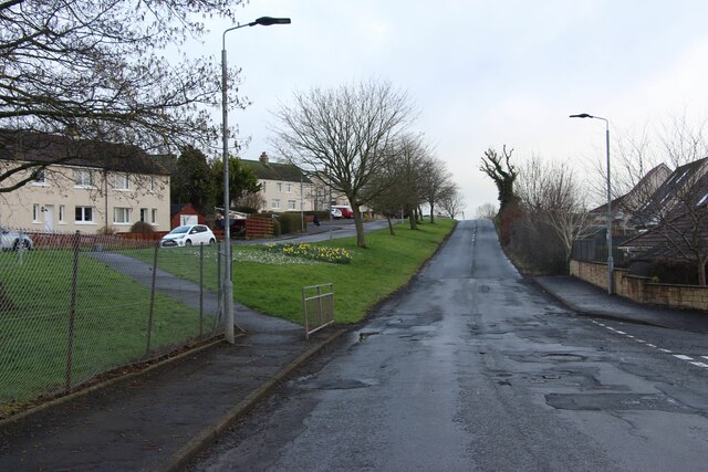
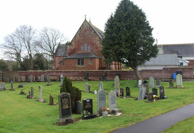
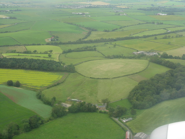
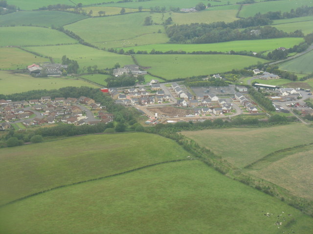
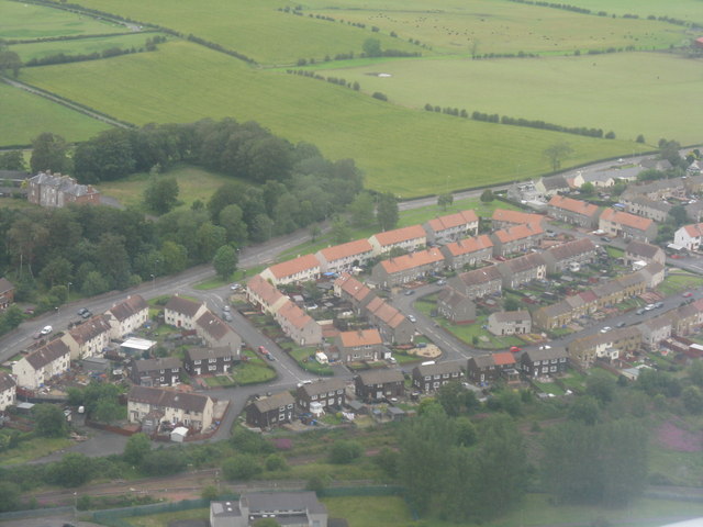
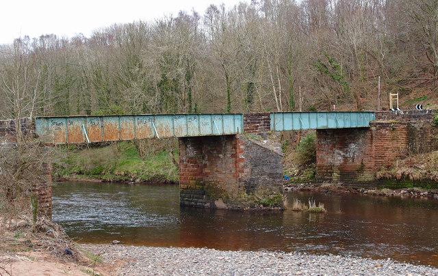
Images are sourced within 2km of 55.483206/-4.5126591 or Grid Reference NS4123. Thanks to Geograph Open Source API. All images are credited.

Pierhill, a large house
Paddock at Commonside
A cutting on the Ayr-Dumfries rail line
Brown's Crescent, Annbank
B744 through Annbank
Annbank Cemetery and Parish Church
Drumley Farm from the air Just to the north of Mossblown.
Drumley Farm from the air
Just to the north of Mossblown.
Round hayfield by Burn Farm Looking northeast on approach to Prestwick Airport.
Round hayfield by Burn Farm
Looking northeast on approach to Prestwick Airport.
Roadhead at Mossblown New housebuilding at the east end of the village, with Townhead farm and Afton Park beyond. Seen en route to Prestwick Airport.
Roadhead at Mossblown
New housebuilding at the east end of the village, with Townhead farm and Afton Park beyond. Seen en route to Prestwick Airport.
Mossblown With Drumley House in the trees to the left. As seen on approach to Prestwick Airport.
Mossblown
With Drumley House in the trees to the left. As seen on approach to Prestwick Airport.
Gadgrith Bridge Old now weak bridge carrying the B742 over the River Ayr.
Gadgrith Bridge
Old now weak bridge carrying the B742 over the River Ayr.
Manufacturers Plate, Gadgrith Bridge See <a href="https://www.geograph.org.uk/photo/2846007">NS4122 : Gadgrith Bridge</a> for the bridge.
Manufacturers Plate, Gadgrith Bridge
See NS4122 : Gadgrith Bridge for the bridge.
Crawfordston Farm Wet farmland near the River Ayr
Crawfordston Farm
Wet farmland near the River Ayr
River Ayr Looking upstream from Gadgrith Bridge to the Enterkine Railway Viaduct.
River Ayr
Looking upstream from Gadgrith Bridge to the Enterkine Railway Viaduct.
River Ayr Looking downstream from Gadgrith Bridge.
River Ayr
Looking downstream from Gadgrith Bridge.
Mossblown Roadend and Townhead Recent eastern expansion of the village.
Mossblown Roadend and Townhead
Recent eastern expansion of the village.
Burn farm near Stair With Enterkine Wood nature reserve at lower right.
Burn farm near Stair
With Enterkine Wood nature reserve at lower right.
Drumley House, Mossblown Apparently in a state of demolition or reconstruction - compare a similar view from just over a year earlier <a href="https://www.geograph.org.uk/photo/2515413">NS4024 : Mossblown</a>. The road is the B743 to Mauchline.
Update, April 2013 - it has now gone - see <a href="https://www.geograph.org.uk/photo/3423561">NS4025 : Drumley House has gone</a>.
Drumley House, Mossblown
Apparently in a state of demolition or reconstruction - compare a similar view from just over a year earlier NS4024 : Mossblown. The road is the B743 to Mauchline. Update, April 2013 - it has now gone - see NS4025 : Drumley House has gone.
Show me another place!

Backlochans Wood is located at Grid Ref: NS4123 (Lat: 55.483206, Lng: -4.5126591)

Unitary Authority: South Ayrshire

Police Authority: Ayrshire

What 3 Words

///cases.shadowed.gosh. Near Mossblown, South Ayrshire

Nearby Locations

Backlochans Wood

Related Wikis

Weston Bridge Halt railway station

Weston Bridge Platform railway station or Weston Bridge Halt railway station was opened to serve miners travelling to the Ayr Colliery No. 9 Pit that stood...

Annbank United F.C.

Annbank United Football Club are a Scottish football club from Annbank, South Ayrshire. Formed in 1939, they are based at New Pebble Park and are nicknamed...

Annbank railway station

Annbank railway station was a railway station serving the villages of Annbank and Mossblown, South Ayrshire, Scotland. The station was part of the Ayr...
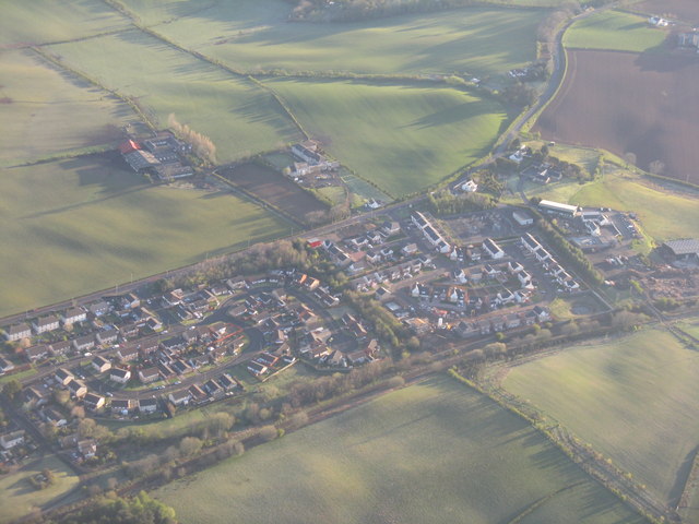
Mossblown

Mossblown is a village in South Ayrshire, Scotland, a little larger than neighbouring Annbank. It was a coal mining community but the mines have been closed...

Nearby Amenities

Located within 500m of 55.483206,-4.5126591
Weston Bridge Halt
Fixme: exact position
Historic Railway: station
Wikidata: Q54869694
Wikipedia: en:Weston Bridge Halt railway station
Lat/Long: 55.4810704/-4.5171938
Ayr Colliery No9 Pit
Historic: archaeological_site
Lat/Long: 55.4830696/-4.5174419
Power: pole
Lat/Long: 55.4808614/-4.5163277
Power: pole
Lat/Long: 55.4815104/-4.5158342
Power: pole
Lat/Long: 55.4821655/-4.5153755
Power: pole
Lat/Long: 55.4827066/-4.5149598
Power: pole
Lat/Long: 55.4832279/-4.5146057
Power: pole
Lat/Long: 55.4840121/-4.5140344
Power: pole
Lat/Long: 55.4852173/-4.5131788
Power: pole
Lat/Long: 55.4857295/-4.5127469
Power: pole
Lat/Long: 55.486231/-4.5122802
Power: pole
Lat/Long: 55.4869407/-4.5115319
Power: pole
Lat/Long: 55.4814551/-4.5053888
Power: pole
Lat/Long: 55.4814217/-4.5063027
Power: pole
Lat/Long: 55.4813948/-4.5071758
Power: pole
Lat/Long: 55.4813705/-4.5078159
Power: pole
Lat/Long: 55.4813397/-4.5085737
Power: pole
Lat/Long: 55.4811103/-4.5092546
Power: pole
Lat/Long: 55.4808501/-4.5100282
Power: pole
Lat/Long: 55.4806168/-4.5107068
Power: pole
Lat/Long: 55.480395/-4.5113379
Power: pole
Lat/Long: 55.4803399/-4.5121952
Power: pole
Lat/Long: 55.4803014/-4.5129552
Power: pole
Lat/Long: 55.4802553/-4.5136451
Power: pole
Lat/Long: 55.4799207/-4.5144459
Power: pole
Lat/Long: 55.4796207/-4.5153032
Power: pole
Lat/Long: 55.4793413/-4.5154434
Power: pole
Lat/Long: 55.4852786/-4.5142547
Power: pole
Lat/Long: 55.4853542/-4.5153179
Power: pole
Lat/Long: 55.4854324/-4.5164693
Power: pole
Lat/Long: 55.4859976/-4.5177201
Power: pole
Lat/Long: 55.4873036/-4.5102329
The data included in this document is from www.openstreetmap.org. The data is made available under ODbL.

Have you been to Backlochans Wood?

Leave your review of Backlochans Wood below (or comments, questions and feedback).