Broad Lane Wood
Wood, Forest in Wigtownshire
Scotland
Broad Lane Wood
Broad Lane Wood is a picturesque forest located in Wigtownshire, Scotland. Spanning over an area of approximately 50 acres, this woodland is a haven for nature lovers and outdoor enthusiasts. It is situated near the village of Newton Stewart and is easily accessible by both car and foot.
The wood boasts a diverse range of tree species, including oak, beech, birch, and spruce, which create a vibrant and colorful canopy throughout the year. The forest floor is covered in a lush carpet of ferns, mosses, and wildflowers, providing a habitat for various small animals and insects.
The woodland is crisscrossed by a network of well-maintained paths, making it an ideal location for leisurely walks, hiking, and cycling. These paths wind through the woods, allowing visitors to explore the different sections of the forest and discover hidden gems along the way.
Broad Lane Wood is also home to an abundance of wildlife. Birdwatchers will delight in the opportunity to spot a wide variety of bird species, including woodpeckers, owls, and songbirds. Squirrels, rabbits, and deer can often be seen darting through the undergrowth, adding to the enchanting atmosphere of the wood.
For those seeking a peaceful retreat, there are several seating areas and picnic spots scattered throughout the forest, offering visitors the chance to relax and soak in the tranquil surroundings.
With its natural beauty and diverse ecosystem, Broad Lane Wood is a must-visit destination for nature enthusiasts and those looking to reconnect with the great outdoors.
If you have any feedback on the listing, please let us know in the comments section below.
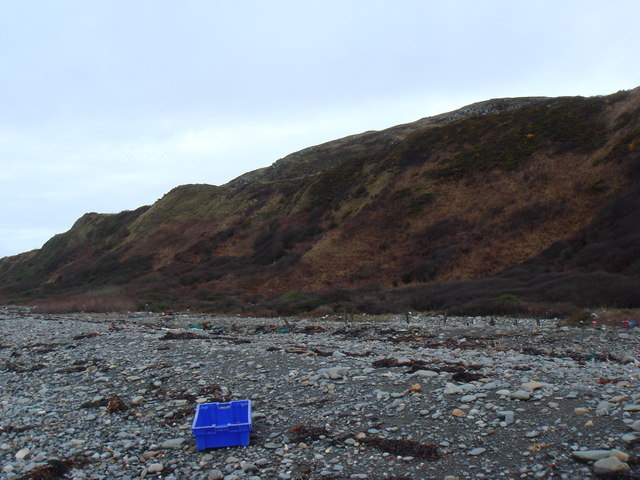
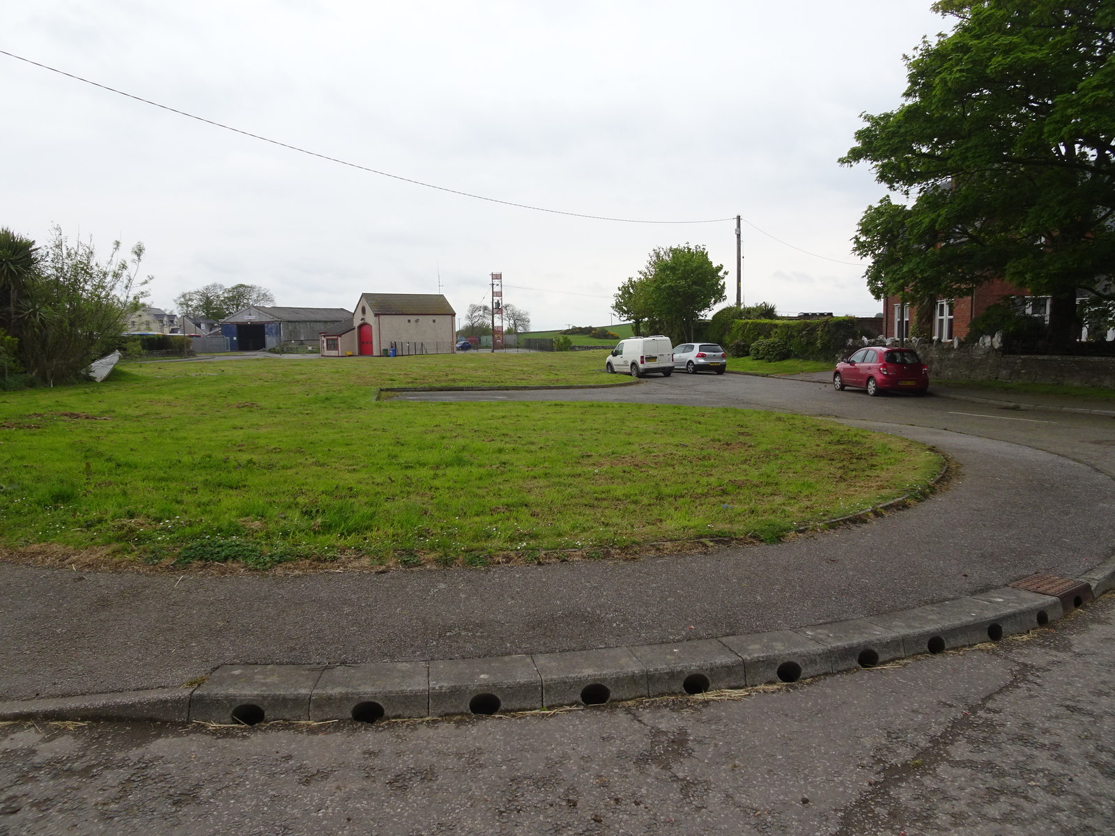
Broad Lane Wood Images
Images are sourced within 2km of 54.704766/-4.4659526 or Grid Reference NX4137. Thanks to Geograph Open Source API. All images are credited.


Broad Lane Wood is located at Grid Ref: NX4137 (Lat: 54.704766, Lng: -4.4659526)
Unitary Authority: Dumfries and Galloway
Police Authority: Dumfries and Galloway
What 3 Words
///flush.tracks.conducted. Near Whithorn, Dumfries & Galloway
Nearby Locations
Related Wikis

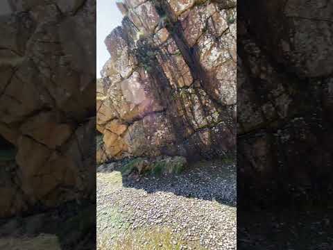
St Ninian's Cave
St Ninian's Cave is a cave in Physgill Glen, Whithorn, Dumfries and Galloway, Scotland. It features in the climax of the acclaimed 1973 horror film The...

Glasserton
Glasserton is a civil parish in Dumfries and Galloway, south-west Scotland. It is on the Machars peninsula, in the traditional county of Wigtownshire....
Rispain Camp
Rispain Camp is the remains of a fortified farmstead 1 mile west of Whithorn, Dumfries and Galloway, Scotland. It is one of the major Iron Age archaeological...

Whithorn Priory
Whithorn Priory was a medieval Scottish monastery that also served as a cathedral, located at 6 Bruce Street in Whithorn, Wigtownshire, Dumfries and Galloway...
Candida Casa
Candida Casa was the name given to the church established by St Ninian in Whithorn, Galloway, southern Scotland, in the mid fifth century AD. The name...
Whithorn
Whithorn (Scots pronunciation: [ˈʍɪthorn], Taigh Mhàrtainn in modern Gaelic), is a royal burgh in the historic county of Wigtownshire in Dumfries and Galloway...
Whithorn railway station
Whithorn is the closed terminus of the Wigtownshire Railway branch, from Newton Stewart, of the Portpatrick and Wigtownshire Joint Railway. It served...
Burrow Head
Burrow Head is a headland located approximately two miles south-west of Isle of Whithorn, Wigtownshire, Scotland, and is the second southernmost point...
Related Videos

Stunning cave found on Scottish toadtrip! #scotland #scottish #coastline
We found this stunning cave on our Scottish roadtrip! St Ninians Cave, Phsygill Supposedly, the hideout of an early Christian ...


Mac and Morag Visit Saint Ninians Cave
This walk is more of a pilgrimage for the people visiting the area, it is said that St Ninnian would go down to this isolated cave for ...
St Ninians cave and Port Castle Bay
portcastlebay #stninian #scotland #cave #vanlife #vanlifescotland #vanlifeadventures.
Nearby Amenities
Located within 500m of 54.704766,-4.4659526Have you been to Broad Lane Wood?
Leave your review of Broad Lane Wood below (or comments, questions and feedback).