High Threave Plantation
Wood, Forest in Wigtownshire
Scotland
High Threave Plantation
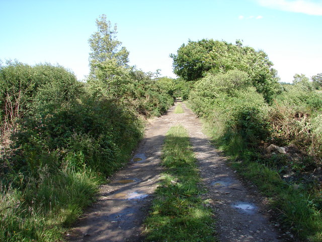
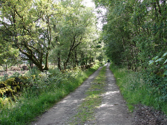
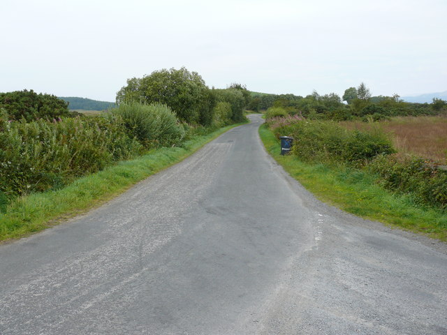
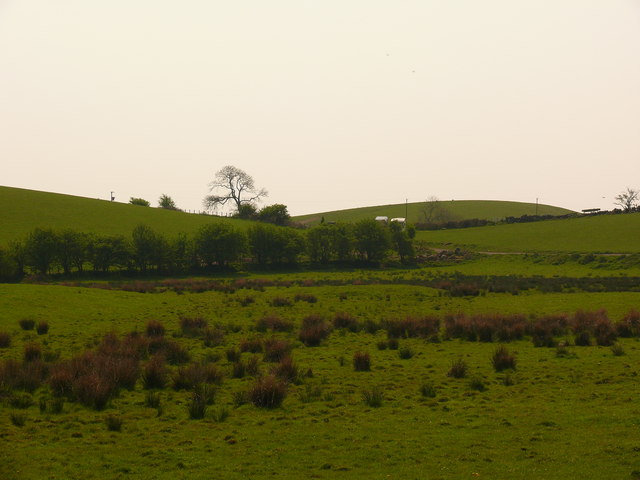
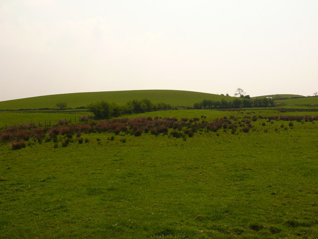
High Threave Plantation is a picturesque woodland located in the scenic region of Wigtownshire, Scotland. Covering an area of approximately 300 acres, this enchanting forest is a popular destination for nature lovers, hikers, and wildlife enthusiasts.
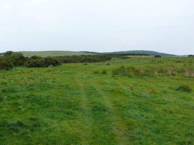
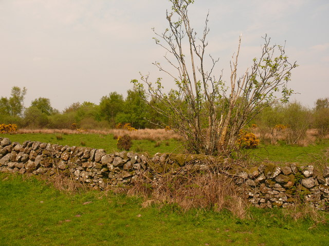
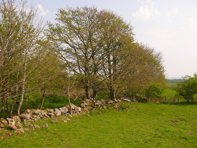
The woodland is predominantly composed of native broadleaf trees, including oak, birch, and ash, which create a vibrant and diverse ecosystem. The dense canopy provides shelter for various bird species, such as woodpeckers, owls, and thrushes, making it an ideal spot for birdwatching.
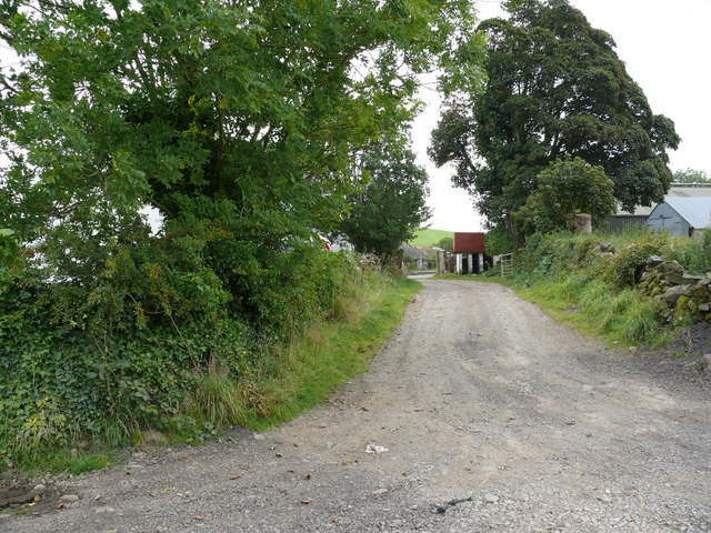
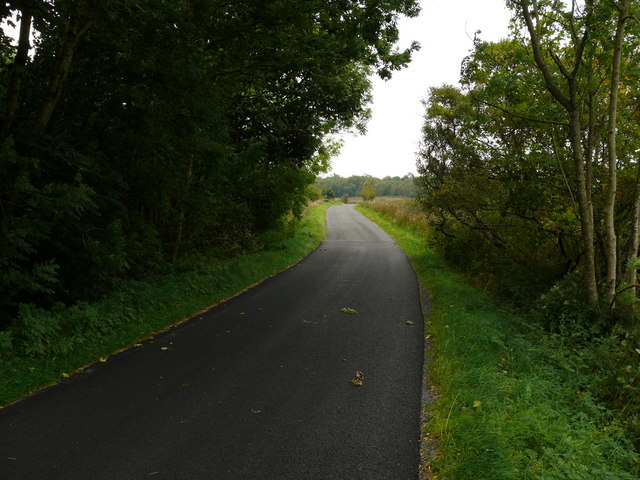
Tranquil walking trails wind through the plantation, offering visitors the opportunity to explore the stunning natural beauty of the area. The paths are well-maintained and suitable for all ages and abilities, with clear signage and maps available at the entrance to guide visitors on their journey.
Within High Threave Plantation, there are several designated picnic areas where visitors can relax and enjoy a meal amidst the serene surroundings. These spots provide a perfect setting for families and friends to connect with nature and soak up the tranquil atmosphere.
The plantation also offers educational opportunities, with informative displays and boards placed strategically along the trails, providing interesting facts about the local flora and fauna. This makes it an excellent location for school trips and outdoor learning activities.
High Threave Plantation is open to the public year-round and is managed by the local forestry commission. It provides a haven for wildlife, a recreational space for outdoor enthusiasts, and a place of tranquility for those seeking solace in nature's embrace.
If you have any feedback on the listing, please let us know in the comments section below.
High Threave Plantation Images
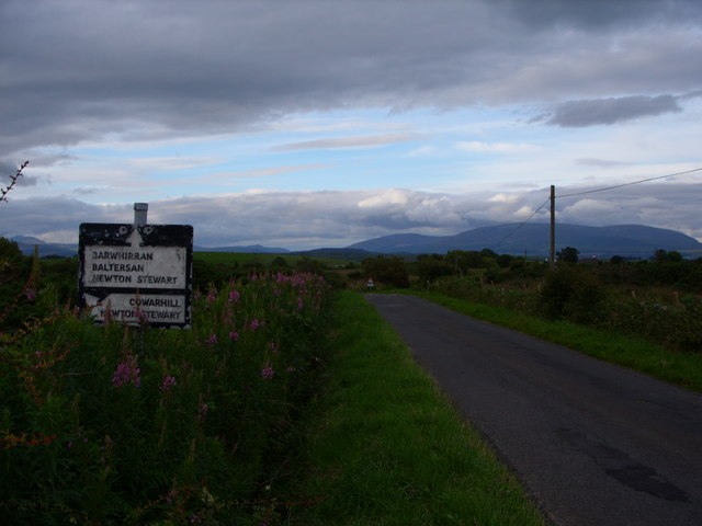
Images are sourced within 2km of 54.905972/-4.5366213 or Grid Reference NX3759. Thanks to Geograph Open Source API. All images are credited.
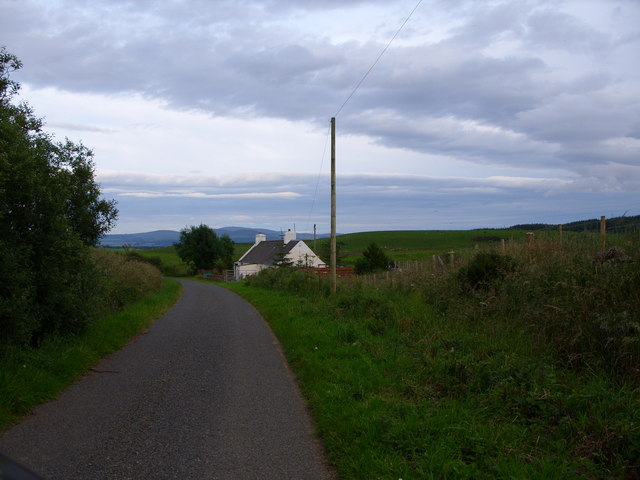
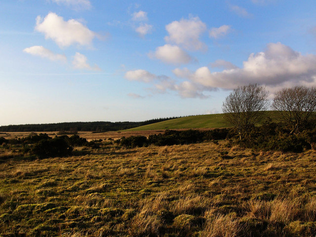
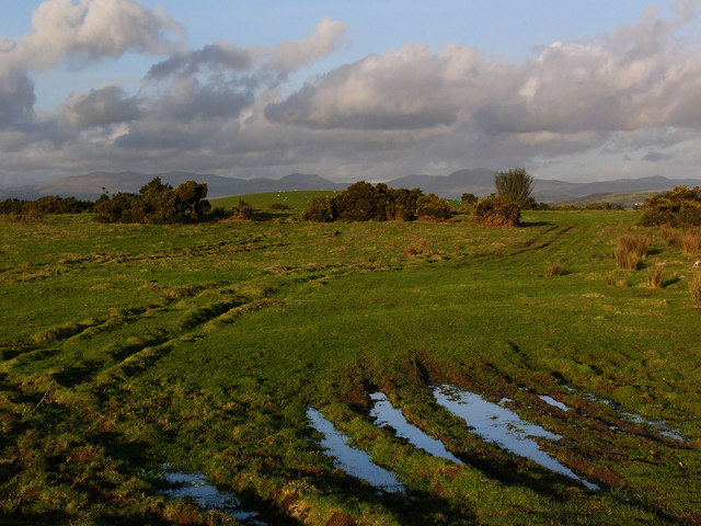
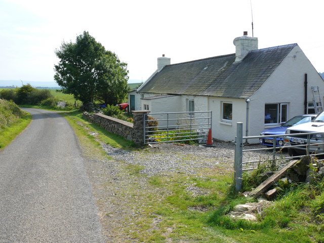

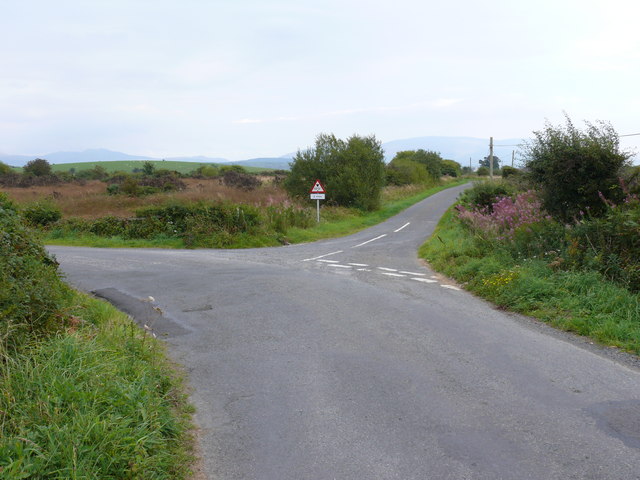

High Threave Plantation is located at Grid Ref: NX3759 (Lat: 54.905972, Lng: -4.5366213)
Unitary Authority: Dumfries and Galloway
Police Authority: Dumfries and Galloway
What 3 Words
///chucked.heaven.voltages. Near Newton Stewart, Dumfries & Galloway
Nearby Locations
Related Wikis

Torhouse
The Standing Stones of Torhouse (also Torhousekie) are a stone circle of nineteen granite boulders on the land of Torhouse, three miles west of Wigtown...

Mains of Penninghame Platform railway station
Mains of Penninghame Platform railway station (NX410617) was a halt on the Wigtownshire Railway branch line, from Newton Stewart to Whithorn, of the Portpatrick...

Causeway End railway station
Causeway End (NX 42047 59602) or Causwayend was a railway station on the Wigtownshire Railway branch line, from Newton Stewart to Whithorn, of the Portpatrick...
Kirkcowan
Kirkcowan is an area about 15 miles in length, and from nearly two to nearly seven miles in breadth, comprising 30,580 acres, of which 7000 are arable...
Nearby Amenities
Located within 500m of 54.905972,-4.5366213Have you been to High Threave Plantation?
Leave your review of High Threave Plantation below (or comments, questions and feedback).