Auld Hill

Hill, Mountain in Wigtownshire

Scotland

Auld Hill

Road sign at Barvennan Junction
Road sign at Barvennan Junction Credit: Mark McKie

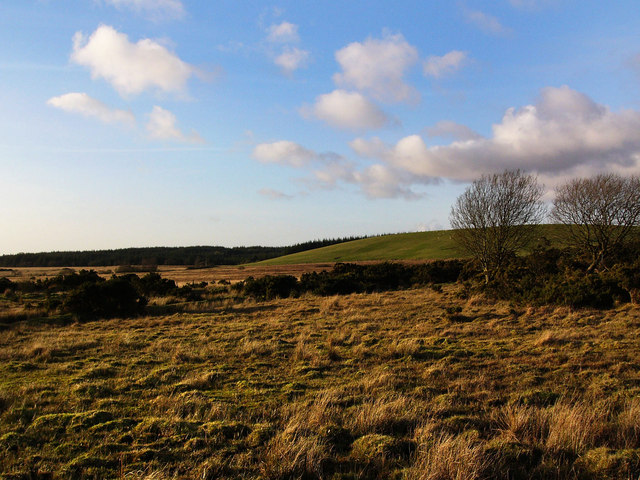
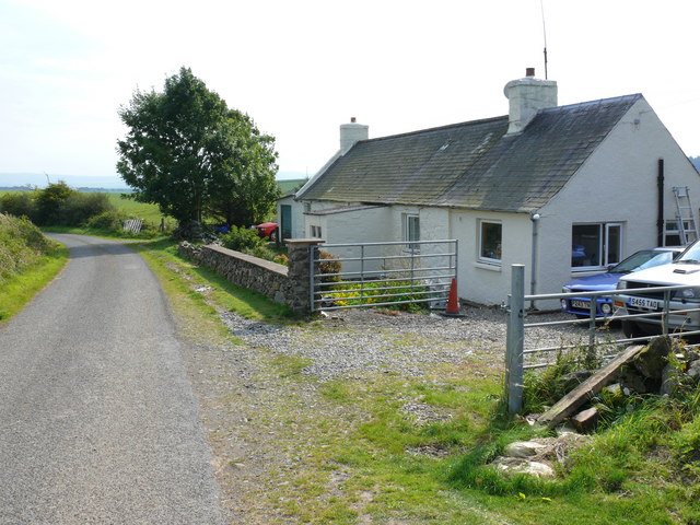
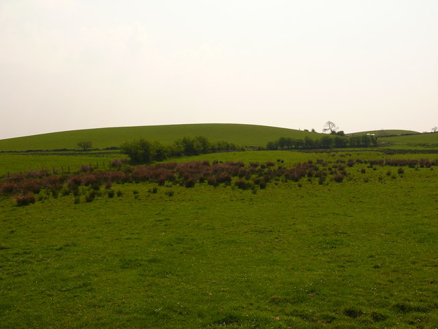
Auld Hill, located in Wigtownshire, is a prominent hill formation in the southwestern region of Scotland. With an elevation of approximately 174 meters (570 feet), it is considered a relatively small hill by Scottish standards. The hill is situated in a rural area, surrounded by picturesque countryside and farmland.

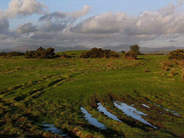
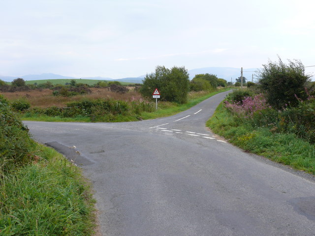
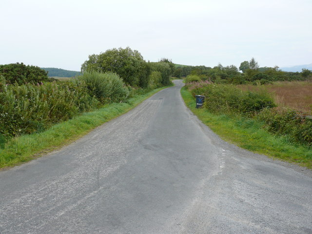
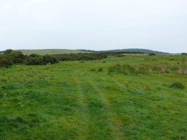
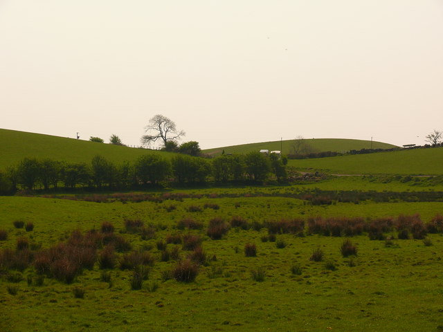
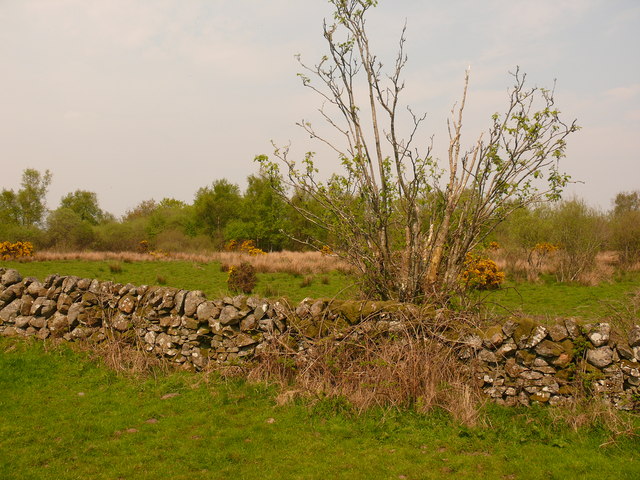
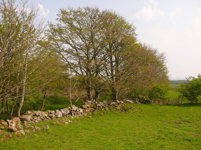
Auld Hill is characterized by its gentle slopes and lush green vegetation, making it an attractive destination for nature enthusiasts and hikers. The hill offers breathtaking panoramic views of the surrounding landscape, including the nearby towns of Wigtown and Newton Stewart.

The area surrounding Auld Hill is rich in history, with archaeological evidence suggesting human activity in the region dating back thousands of years. The hill itself is believed to have been formed during the last ice age, with its distinctive shape and contours resulting from glacial erosion.

Visitors to Auld Hill have the opportunity to explore its diverse wildlife and plant species. The hill is home to a variety of birds, mammals, and insects, making it an ideal spot for birdwatching and wildlife observation. It is also adorned with a variety of wildflowers and plant life, adding to its natural beauty.

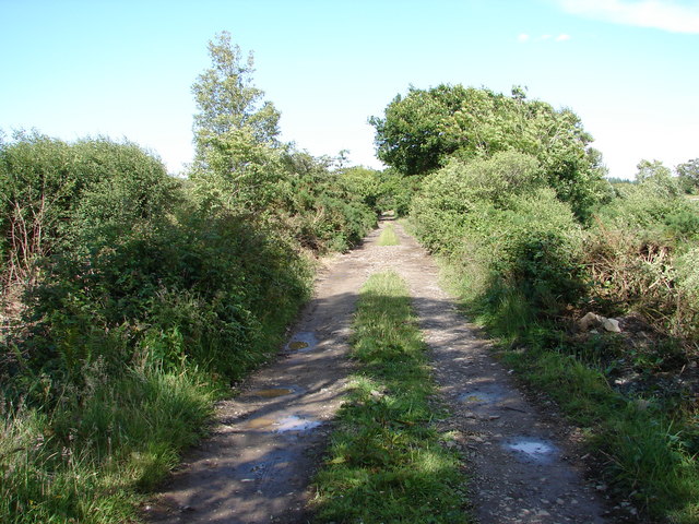
For those seeking outdoor activities, Auld Hill offers several walking and hiking trails that cater to different skill levels. These trails provide an immersive experience in the natural surroundings and offer an opportunity to discover hidden gems and stunning vistas.

Overall, Auld Hill in Wigtownshire is a captivating destination, offering a blend of natural beauty, historical significance, and recreational opportunities for visitors and locals alike.

If you have any feedback on the listing, please let us know in the comments section below.
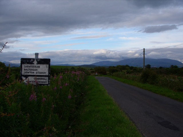
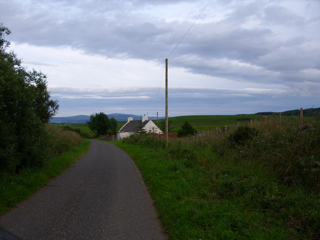
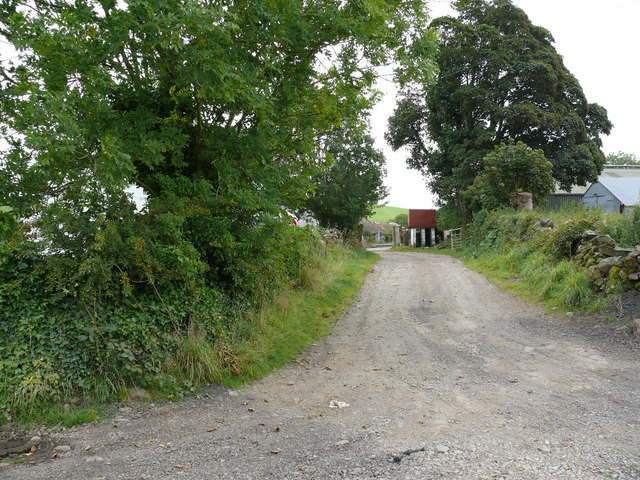
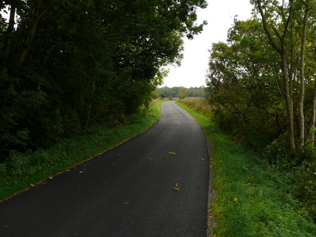
Auld Hill Images

Images are sourced within 2km of 54.902391/-4.5307802 or Grid Reference NX3759. Thanks to Geograph Open Source API. All images are credited.

Road sign at Barvennan Junction
Cottage just past Barvennan Farm
Barvennan Moss The green hill is Bar Fauld. The conifers in the distance are on the High Moor of Killiemore, near the abandoned crofting community of Killiemore.
Barvennan Moss
The green hill is Bar Fauld. The conifers in the distance are on the High Moor of Killiemore, near the abandoned crofting community of Killiemore.
Rough pasture near Barvennan Looking to the Galloway Hills in the far distance. The round green hill in the middle distance is called Auld Hill.
Rough pasture near Barvennan
Looking to the Galloway Hills in the far distance. The round green hill in the middle distance is called Auld Hill.
High Moor of Killiemore Track from Killiemore continues on for a while before being swallowed up by forestry on High Moor of Killiemore.
High Moor of Killiemore
Track from Killiemore continues on for a while before being swallowed up by forestry on High Moor of Killiemore.
Barvennan Cottage View of this cottage on an unnamed road between the A714 and the B733.
Barvennan Cottage
View of this cottage on an unnamed road between the A714 and the B733.
Barvennan View along this unnamed road towards the farm.
Barvennan
View along this unnamed road towards the farm.
Barvennan Cottage This track leads from the side of the cottage to Wood Fell.
Barvennan Cottage
This track leads from the side of the cottage to Wood Fell.
Barvennan Moss View of this road junction.
Barvennan Moss
View of this road junction.
Barvennan Moss View of this small country road which leads eventually to the A75 Stranraer to Dumfries road.
Barvennan Moss
View of this small country road which leads eventually to the A75 Stranraer to Dumfries road.
Barvennan Farm View of the access road to this farm.
Barvennan Farm
View of the access road to this farm.
Viewhills Barvennan View over farm land towards Benna Hill left of picture. The sign says Viewhills Barvennan which is a neighbouring farm to Barvennan Farm.
Viewhills Barvennan
View over farm land towards Benna Hill left of picture. The sign says Viewhills Barvennan which is a neighbouring farm to Barvennan Farm.
Barvennan Moss This track marked on OS Mapping runs over Barvennan Moss to Bar Fauld and Barraer Fell right of picture on the horizon. The edge of High Moor of Killiemore is left of picture on the horizon. This shot pretty well captures all the features of this grid square which is mostly marshland and forest.
Barvennan Moss
This track marked on OS Mapping runs over Barvennan Moss to Bar Fauld and Barraer Fell right of picture on the horizon. The edge of High Moor of Killiemore is left of picture on the horizon. This shot pretty well captures all the features of this grid square which is mostly marshland and forest.
Barvennan Wood View past the wood along this road which runs down to the B733. About 250 yards of this road are in the grid. Essential to have good map reading skills or GPS when working with such short distances.
Barvennan Wood
View past the wood along this road which runs down to the B733. About 250 yards of this road are in the grid. Essential to have good map reading skills or GPS when working with such short distances.
Bartrostan View south towards Bartrostan Farm.
Bartrostan
View south towards Bartrostan Farm.
Bartrostan View north towards Barvennan Wood.
Bartrostan
View north towards Barvennan Wood.
Bartrostan View east towards Little Molland.
Bartrostan
View east towards Little Molland.
Bartrostan View south across open farmland towards Bartrostan Farm and Molland Hill left of picture.
Bartrostan
View south across open farmland towards Bartrostan Farm and Molland Hill left of picture.
Show me another place!

Auld Hill is located at Grid Ref: NX3759 (Lat: 54.902391, Lng: -4.5307802)

Unitary Authority: Dumfries and Galloway

Police Authority: Dumfries and Galloway

What 3 Words

///divorcing.yacht.couriers. Near Newton Stewart, Dumfries & Galloway

Related Wikis

Torhouse

The Standing Stones of Torhouse (also Torhousekie) are a stone circle of nineteen granite boulders on the land of Torhouse, three miles west of Wigtown...

Mains of Penninghame Platform railway station

Mains of Penninghame Platform railway station (NX410617) was a halt on the Wigtownshire Railway branch line, from Newton Stewart to Whithorn, of the Portpatrick...

Causeway End railway station

Causeway End (NX 42047 59602) or Causwayend was a railway station on the Wigtownshire Railway branch line, from Newton Stewart to Whithorn, of the Portpatrick...

Kirkcowan

Kirkcowan is an area about 15 miles in length, and from nearly two to nearly seven miles in breadth, comprising 30,580 acres, of which 7000 are arable...

Nearby Amenities

Located within 500m of 54.902391,-4.5307802
Power: pole
Lat/Long: 54.902483/-4.5385726
Power: pole
Lat/Long: 54.9025933/-4.5377729
Power: pole
Lat/Long: 54.9027774/-4.5364495
Power: pole
Lat/Long: 54.9029803/-4.5349555
Power: pole
Lat/Long: 54.9031391/-4.5338163
Power: pole
Lat/Long: 54.9032957/-4.5326656
Power: pole
Lat/Long: 54.90346/-4.5315092
Power: pole
Lat/Long: 54.9036133/-4.5303546
Power: pole
Lat/Long: 54.903696/-4.5297563
Power: pole
Lat/Long: 54.9038713/-4.5285097
The data included in this document is from www.openstreetmap.org. The data is made available under ODbL.

Have you been to Auld Hill?

Leave your review of Auld Hill below (or comments, questions and feedback).